Rome · Fiumicino, Ciampino, Fiera di Roma, Sapienza

Indoor mapping in Rome, from the airport terminal to the palazzo

Spatial Map is browser-based indoor mapping software: it turns a floor plan into a 3D map of every floor, with rooms, doors, lifts and stairs, and puts live data on top. Indoor mapping in Rome covers an unusual range of buildings: two airports, an exhibition ground with nine halls, a university campus from the 1930s and, inside the old city, offices and museums housed in palazzi that were never drawn for a modern plan. The app is in English; room names and notes can be in Italian.

No credit card. Runs in the browser. Pro is $60/month for up to 4 facilities. Book a demo

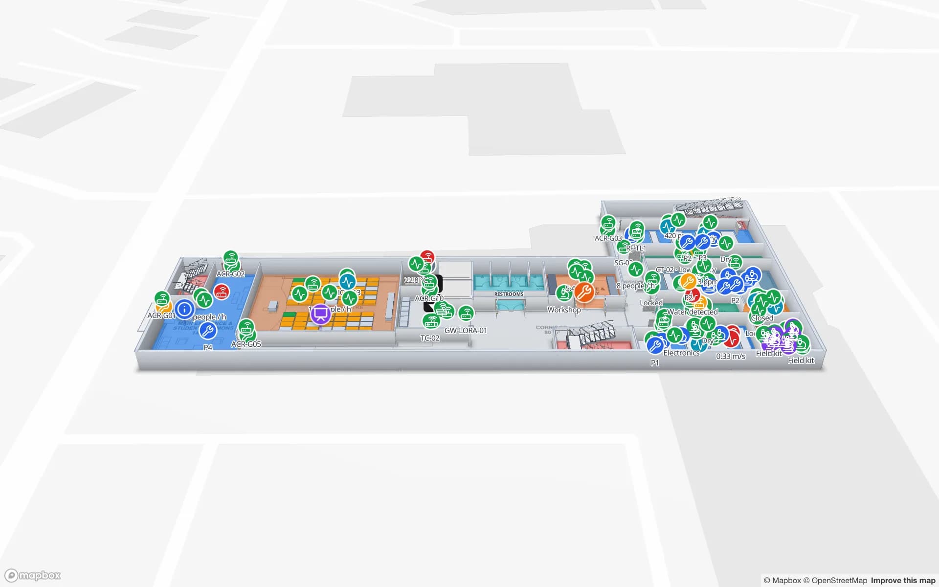
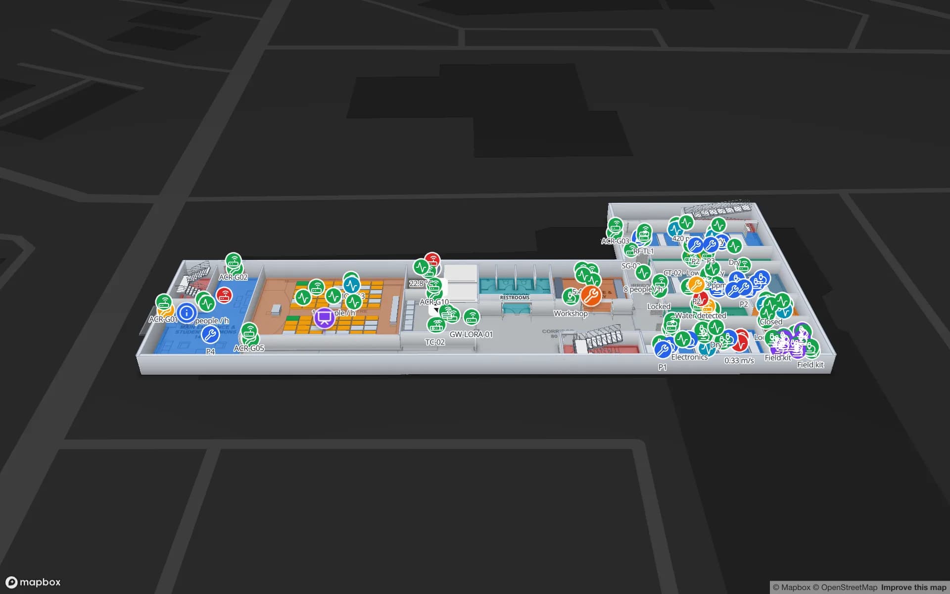
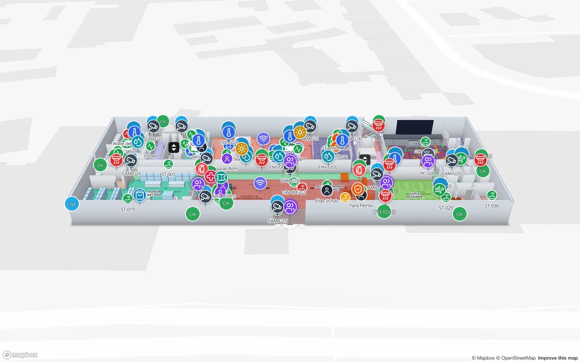
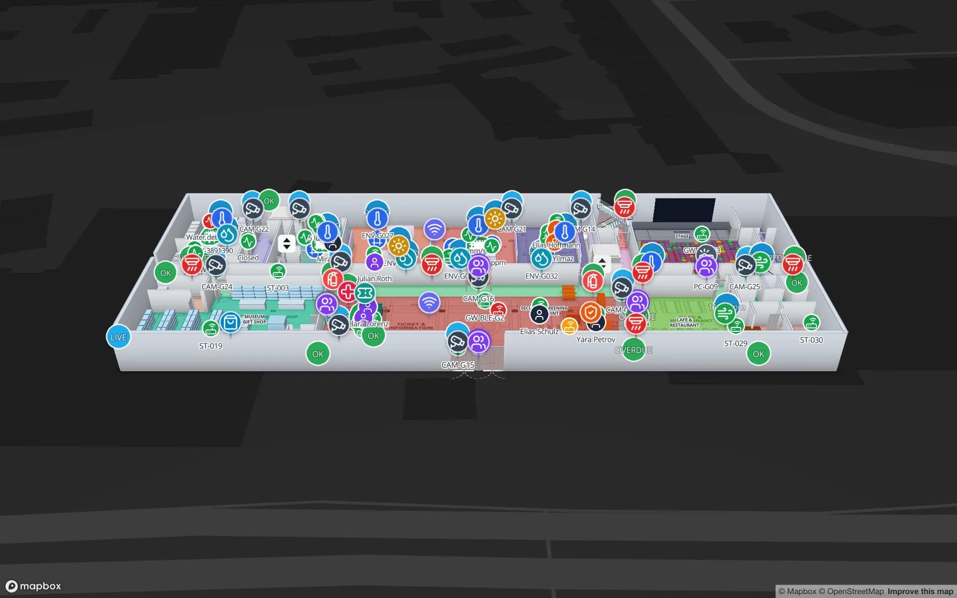
Silverbay International Airport — Terminal 2, a airport terminal demo, in the Spatial Map 3D viewer with live device markers
Silverbay International Airport — Terminal 2
Silverbay International Airport, a demo terminal: check-in, security screening, gates, baggage reclaim and retail on two floors, with routes that cross floors by lift, escalator or stairs.
Floors in the Silverbay airport demo
2
Floors in the Production Museum demo
3
Interface languages, none of them Italian
6
Free trial, up to 5 facilities, no card
7 days

Fiumicino, Ciampino and the cargo side of the airports

Rome has two airports. Ciampino was inaugurated in 1916 and was the capital’s only airport until 15 January 1961, when Leonardo da Vinci airport at Fiumicino was inaugurated. The operator today describes Fiumicino as the main hub and Ciampino as the airport for low-cost traffic, express-courier goods and general aviation. Its works page also lists a motorway junction on the Rome–Fiumicino highway leading to Cargo City, scheduled for completion in March 2027, with heavy vehicles bound for the cargo area kept independent of circulation inside the technical airport zone.

A terminal is the building type indoor mapping was made for: check-in islands, security lanes, gates, baggage reclaim and retail on several levels, with lifts and escalators that decide whether a route is step-free. The Silverbay demo shows a two-floor terminal with each zone coloured by crowding from your own counters, and airport indoor mapping covers the general case. Spatial Map is independent of the airports and their systems; it draws what your own team sends. It does not give passengers a live position (there is no blue dot and no mobile app), but the wayfinding tool plans a route across floors with Fastest and Step-free options and shows it on a read-only share link.


Fiera di Roma: nine halls beside a railway stop

The Rome exhibition grounds on Via Portuense list nine rectangular, column-free halls, a conference centre with 13 meeting rooms and a dedicated railway stop, and they describe themselves as easy to reach from Fiumicino airport. Their own pages quote more than one figure for covered area, so none is repeated here. For mapping, what matters is that the building stays the same while everything inside it changes with every show: stand blocks, aisles, loading doors, catering points and crowd flow.

Draw the halls once, copy the facility for each event instead of redrawing it, and let a table colour booth blocks by build-up status. The Lakeside demo shows halls with booth blocks, session rooms, registration and loading docks. A stand builder can be sent a share link locked to one hall and its layers, with an expiry date; see share links. Spatial Map does not run ticketing, badge scanning or exhibitor registration. Indoor maps for stadiums and venues covers other large public buildings.

Sapienza and the older campus buildings

Sapienza says on its own site that it was founded in 1303 by Pope Boniface VIII, and its city campus, designed by Marcello Piacentini, opened in 1935. Buildings of that age have drawings, but they are scattered across archives, and the best plan of a wing may be a scanned sheet at an odd scale. Upload it as a PDF or image (DWG from AutoCAD R2004–R2018 is placed as a picture), align it at real size and let AI Map draft walls, doors, labels and areas for a person to review. CAD and PDF import lists what is accepted.

On a campus the live part is usually equipment and rooms rather than people: lab instruments, AV carts, teaching-room timetables and chemical stores. The Westbrook demo shows a two-floor science building with lab equipment bookings, lab environment readings and chemical stores, and office and campus maps describe the general pattern.

Historic buildings: map the floors, not the stones

UNESCO inscribed the Historic Centre of Rome in 1980 and extended the listing in 1990 to cover the Holy See properties in the city and San Paolo fuori le Mura. Within that perimeter many offices, museums, embassies and venues sit in palazzi with half levels, courtyards and stairs that stop on one floor and restart on another. Spatial Map does not survey a building; it works from the plan you give it, and where there is none, a sketch drawn to scale and aligned against one known dimension is a fair start.

For a museum or gallery in such a building, the Production Museum demo shows galleries on three floors with room occupancy, climate sensors and RFID-tagged objects, and museum indoor maps explains what to track. Spatial Map says nothing about heritage rules: what may be fixed to a protected wall or ceiling is for you and the responsible authority to decide.

Services for teams in Rome

Rome teams usually start from the building, not the technology:

  • Venue and exhibition teams begin with the hall plan and a booth-status table, often before any hardware exists, then add asset tracking for stand equipment, AV and barriers.
  • Offices, museums and campuses start with the indoor maps and a register of rooms and equipment; inventory tracking fits their stores and cargo sheds.
  • RTLS and UWB matters for large halls and terminals where staff and vehicles must be located continuously. A BlueIOT server connects directly; other engines send their positions through the write API.
  • If you have no readers, gateways or tags yet, our team can source them on request, quoted per project, with warranty and device support from the manufacturer: see hardware and demo kits on request.
  • Where in-house IT is thin, our team builds Android RFID handheld apps, ERP integrations and other custom software such as POS or booking systems as client projects. The product runs as cloud or on-premises.

Also served nearby

The same page covers Fiumicino and Ciampino themselves, Pomezia and Tivoli on the edge of the metropolitan area, and the Via Portuense and Via Tiburtina corridors. Nothing is installed at any of them: the map opens in a browser. The Italian-language text is on the Italian version of the Italy page.

How Spatial Map does it

From a plan to a Rome building map

  1. 01

    Pick the plan you have

    A PDF, a DWG (AutoCAD R2004–R2018), a scan or a photographed sheet of one building or one hall.

  2. 02

    Align and draw each floor

    Set the scale, let AI Map draft the floor, then add lifts, stairs, doors and rooms named the way your team names them.

  3. 03

    Add a table of what changes

    Booth status, lab bookings, queue counts or an equipment register, from CSV, Excel or your own system through the write API.

  4. 04

    Route, share and review

    Cross-floor routes with a step-free option, read-only share links for contractors and visitors, and in-app alerts for stale data.

What Rome teams map

Airport terminals and gate areas

Zones coloured by crowding, lifts and escalators, and routes that stay step-free.

Exhibition halls and event build-up

Booth blocks, loading docks and session rooms, copied for each show.

University buildings

Teaching rooms, lab equipment bookings and chemical stores by floor.

Museums in historic buildings

Gallery occupancy, climate readings and tagged objects room by room.

See it on real demo facilities

Fictional names, real floor plans, live sensors, RFID, BLE tags and gateways — open any of them in the browser.

All 13 demo facilities

Indoor mapping in Rome — questions we get

Not yet. The interface is in English, Spanish, French, German, Arabic and Chinese. Everything you write yourself — room names, notes, column names, report titles — can be in Italian and appears exactly as entered, on the map and in exported PDF and Excel reports. There is an Italian version of the Italy page.

Yes. Upload the scan or photo, align it against a known dimension and let AI Map draft the floor; you correct what it gets wrong. Spatial Map does not survey the building, so if the drawing is out of date the map will be too.

No. Draw the halls once and copy the facility for each event, then change the booth table. Share links with an expiry date let stand builders see only their hall.

No. There is no live position for visitors, no blue dot and no mobile app. A visitor can open a read-only share link in a browser, see the floors and follow a planned route with turn-by-turn steps and walking minutes.

No claim is made. It shows what you draw and what your tags and sensors report; what may be installed in a protected building and which rules apply are for you and the responsible authority.

No. Spatial Map is sold online and our team works with customers in Italy remotely, by video call and through the contact form, in English. There are no local resellers or partners.

In US dollars, the same worldwide: a 7-day free trial for up to 5 facilities with no card, then Pro at $60 a month or $600 a year for up to 4 facilities. Larger estates are quoted as custom services; RFID or BLE hardware, if you ask us to source it, is quoted per project.

Map one Rome building this week.

Start the free trial and open the Silverbay demo, or send us the plan of a terminal, hall, campus building or palazzo through the contact form.