Latin America · Mexico, Brazil, Chile, Colombia, Peru and Argentina

Indoor mapping and RFID tracking in Latin America

Spatial Map is browser-based software for indoor mapping and RFID tracking in Latin America: a plant, warehouse or store floor plan becomes a live 3D map, coloured by the data your MES, WMS, RFID readers and sensors already produce. Across the region that means new factories in northern Mexico, warehouses behind the region’s big container ports, cold stores packed with fruit for export and malls in some of the world’s largest cities. The app’s interface is available in Spanish; Portuguese is not available yet.

No credit card. Runs in the browser. Pro is $60/month for up to 4 facilities. Book a demo

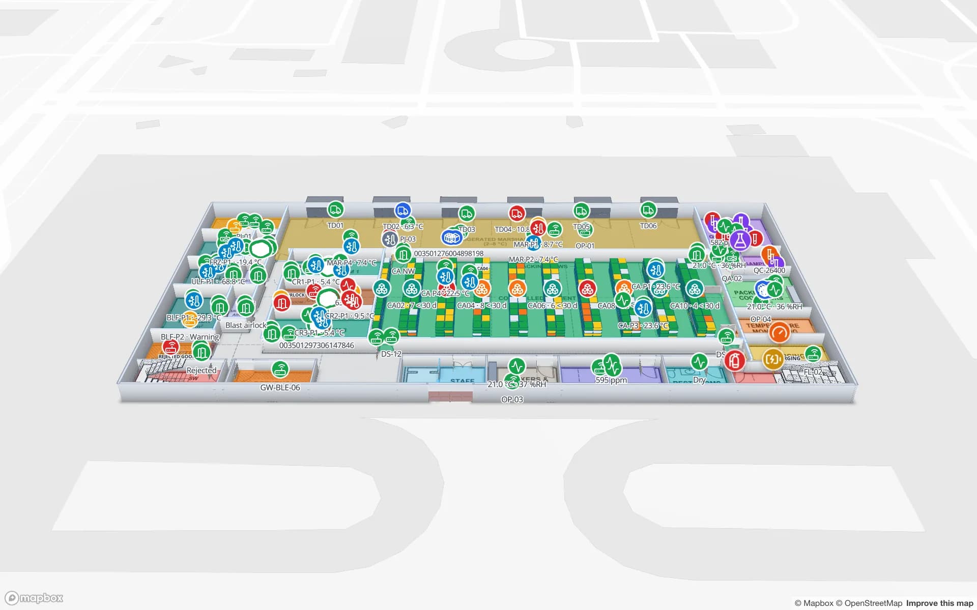
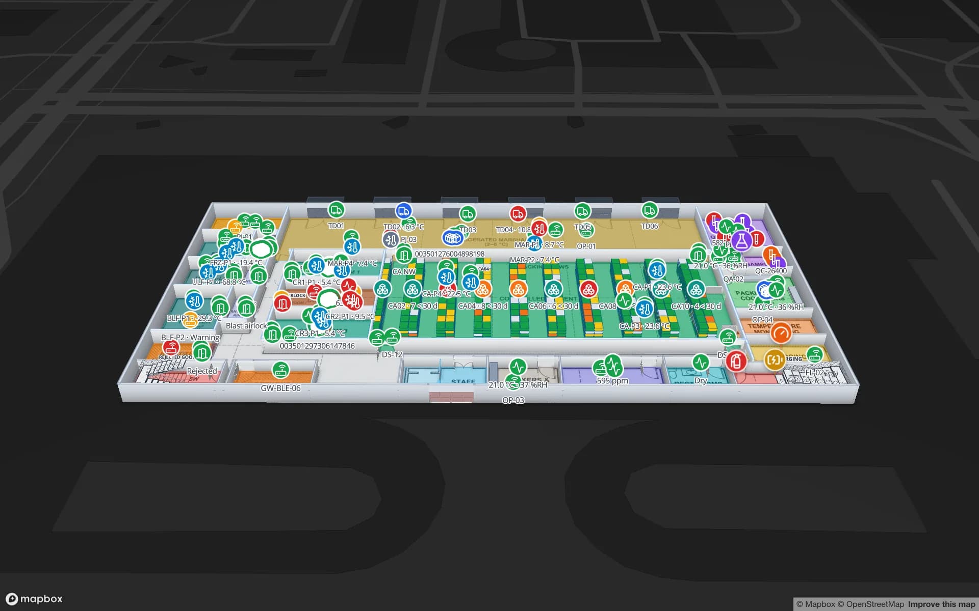
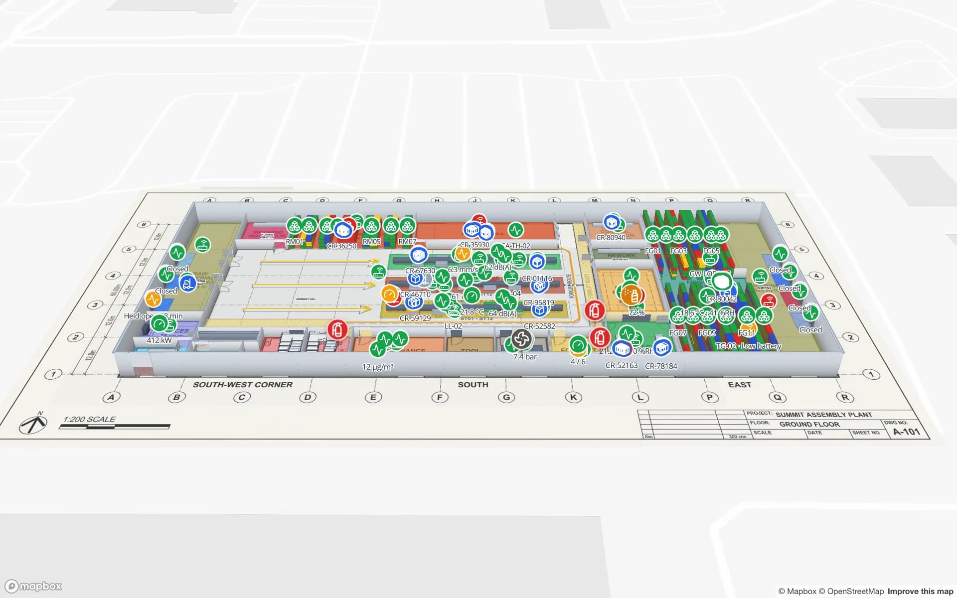
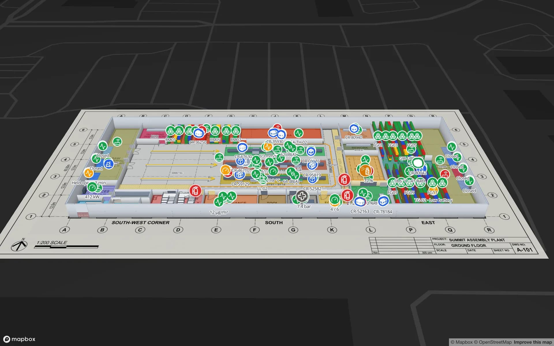
Summit Assembly Plant, a assembly plant demo, in the Spatial Map 3D viewer with live device markers
Summit Assembly Plant
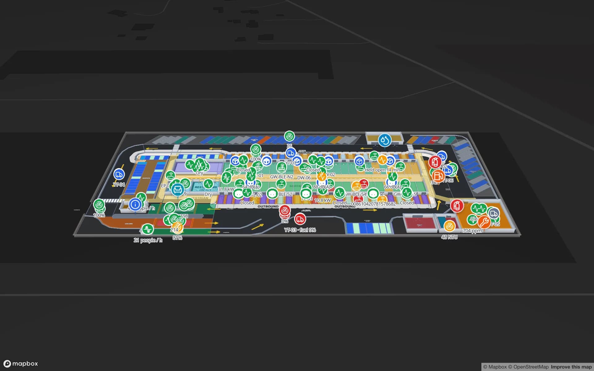
Summit Assembly Plant, a demo plant: assembly lines and workstations, WIP carriers read by RFID between stations, and 867 rack locations for raw materials and finished goods.
Rack locations in the Summit Assembly demo plant
867
Spanish interface, one of six languages
Español
Software to install — runs in any modern browser
0
Free trial, up to 5 facilities, no credit card
7 days

Nearshoring and new plants in Mexico

Over recent years, manufacturers supplying the US market have moved or added production in Mexico — the trend usually called nearshoring. Much of it has gone to industrial parks in the north, around Monterrey and along the border states, and to the Bajío in central Mexico, where automotive and appliance supply chains were already strong. New plants are often run to the standards and reporting habits of a customer across the border.

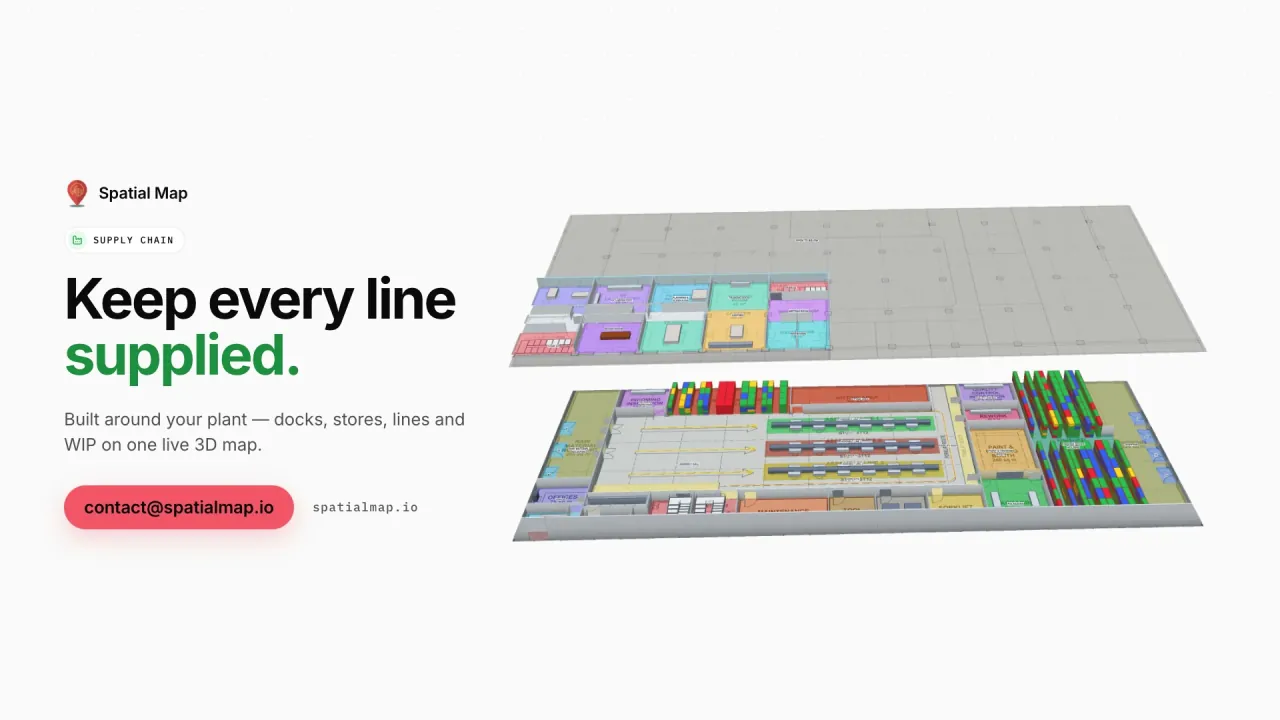
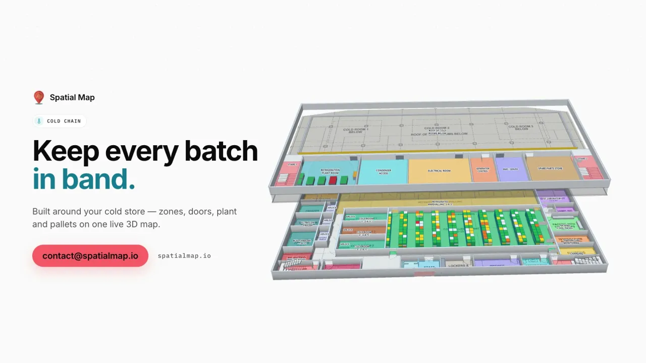
Spatial Map draws lines, workstations, WIP buffers and raw-material and finished-goods racks on the plant layout and colours them from your MES or ERP; RFID tags on carriers and bins show where they are between stations. A read-only share link gives a customer or a group office one plant, with chosen floors and layers, an expiry date and no account. The Summit Assembly demo shows the pattern, and the supply-chain solution explains it.
Container ports and the warehouses behind them

The region’s trade runs through a handful of large ports: Santos in Brazil, one of the largest container ports in Latin America; Manzanillo on Mexico’s Pacific coast; Callao serving Lima, now alongside the new deep-water port at Chancay to its north; San Antonio and Valparaíso in central Chile; Cartagena on Colombia’s Caribbean coast; and Buenos Aires on the River Plate.

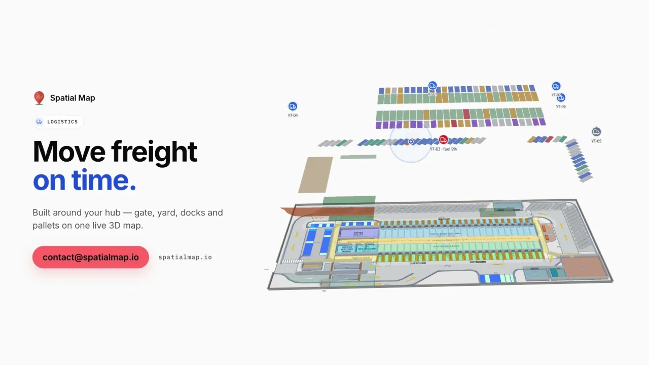
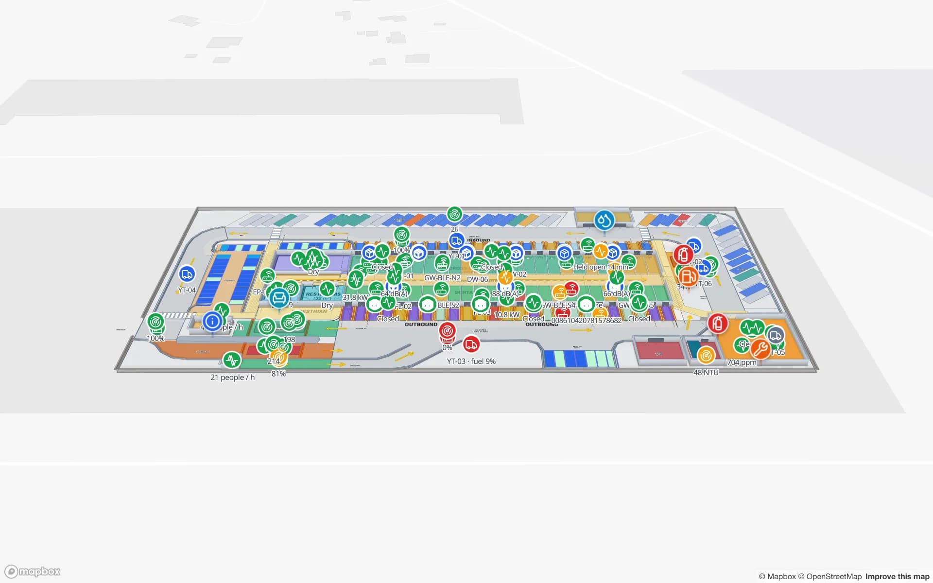
Around them, bonded warehouses and distribution centres unpack containers and stage freight for trucks heading inland. On the map, dock doors, yard slots and staging lanes take their status from your yard or WMS data, and RFID pallets show at the dock door that last read them, as in the Eastport Cross-Dock demo. Customs procedures and records stay in your own systems.

Fruit, flowers and the export cold chain

Latin America feeds much of the world out of season: Chilean fruit, Peruvian blueberries and avocados, Mexican avocados, Colombian cut flowers flown out of Bogotá, and Brazilian and Argentine meat. All of it passes through packhouses and cold stores before the reefer container or the aircraft.

Spatial Map colours each pre-cooling tunnel, cold room and dock from its latest reading, keeps every reading in row history and raises in-app alerts when a room stays out of range or a sensor stops reporting. The Polar Pharma demo shows the same picture in a pharmaceutical cold store; your quality system and export documents stay the record. See the cold-chain solution.

Malls and fulfilment centres in the big cities

São Paulo, Mexico City, Bogotá, Lima, Santiago and Buenos Aires have large multi-level malls, and e-commerce has filled their outskirts with fulfilment centres. In a fulfilment centre, every rack location is coloured from the WMS stock by bin, as in the Crestline Fulfillment demo with 2,204 rack locations. In a mall or a multi-floor store, footfall shows as a heatmap that stops at walls, and wayfinding builds routes across floors with Fastest and Step-free options.

Languages, data protection and working with us

The Spatial Map interface is available in Spanish, English, French, German, Arabic and Chinese, and each user picks their own. It is not available in Portuguese; Brazilian teams typically use English or Spanish, and their own room names, rack codes and report titles appear in Portuguese exactly as typed.

Where location data relates to people, national laws are the context — Brazil’s LGPD and the personal data laws of Mexico, Argentina, Chile, Colombia and Peru among them. Your legal advisers decide what applies; most plant and warehouse projects tag carriers, pallets and stock rather than staff. A data processing agreement is available. Spatial Map is sold online at the same USD price everywhere, and our team works with customers remotely through the contact form.

How Spatial Map does it

From plant layout to live map

  1. 01

    Import the layout

    A PDF or a DWG from AutoCAD R2004–R2018 of the plant, warehouse or store, placed at scale.

  2. 02

    Draw the floor

    Lines, racks with their locations, docks, cold rooms, stairs, lifts and escalators.

  3. 03

    Connect your systems

    MES, WMS or RFID middleware posts rows to a table, or Spatial Map polls a REST endpoint.

  4. 04

    Share across borders

    Read-only links for customers and group offices, reports in PDF, Excel, CSV or JSON.

What teams in Latin America map first

Nearshoring plants

Lines, WIP carriers and racks coloured from the MES, shared with customers.

Port-side warehouses

Dock doors, yard slots and RFID pallets staged for the inland trucks.

Fruit and flower cold stores

Cold rooms by live temperature, with in-app alerts on excursions.

E-commerce fulfilment

Every rack location coloured from WMS stock, pick-to-light and packing.

See it on real demo facilities

Fictional names, real floor plans, live sensors, RFID, BLE tags and gateways — open any of them in the browser.

All 13 demo facilities

Questions from teams in Latin America

Spanish, yes: it is one of six interface languages, with English, French, German, Arabic and Chinese, and each user picks their own. Portuguese is not available. Your own content — rooms, racks, reports — can be written in any language.

Yes, through a read-only share link: you choose the floors and layers, set an expiry and a view cap, and can revoke it at any time. The customer does not need an account. Reports can also be shared through public read-only report links.

Any fixed readers, portals or handhelds approved for the country where they run — UHF bands differ across the region, so ask your supplier. Spatial Map has no reader drivers: your middleware posts reads to a table with the write API, or exposes a REST endpoint Spatial Map polls.

Keep every site as a facility in one workspace and group them into named solutions, for example by country or by customer. Owner, Admin, Editor and Viewer roles control who can change what.

No. Spatial Map is sold online and our team works with customers remotely, by video call and through the contact form. Nothing is installed on site.

The same worldwide, in US dollars: a 7-day free trial for up to 5 facilities with no credit card, then Pro at $60 a month or $600 a year for up to 4 facilities. Larger networks are quoted as custom services.

Map your first plant or warehouse in Latin America.

Start the free trial in Spanish or English, or send us a layout and a sample of your MES, WMS or RFID data through the contact form.