Asia-Pacific · Australia

Indoor mapping and RFID tracking software for Australia

Australian operations are spread thin: a distribution centre in Sydney’s west, another in Melbourne’s north, a tool store in Perth that supplies mine sites a flight away. Spatial Map puts each of those buildings on a live 3D map in the browser — stock by rack location, RFID reads at the dock doors, temperatures in the cold rooms — so the people responsible for them can see the floor without getting on a plane.

No credit card. Runs in the browser. Pro is $60/month for up to 4 facilities. Book a demo

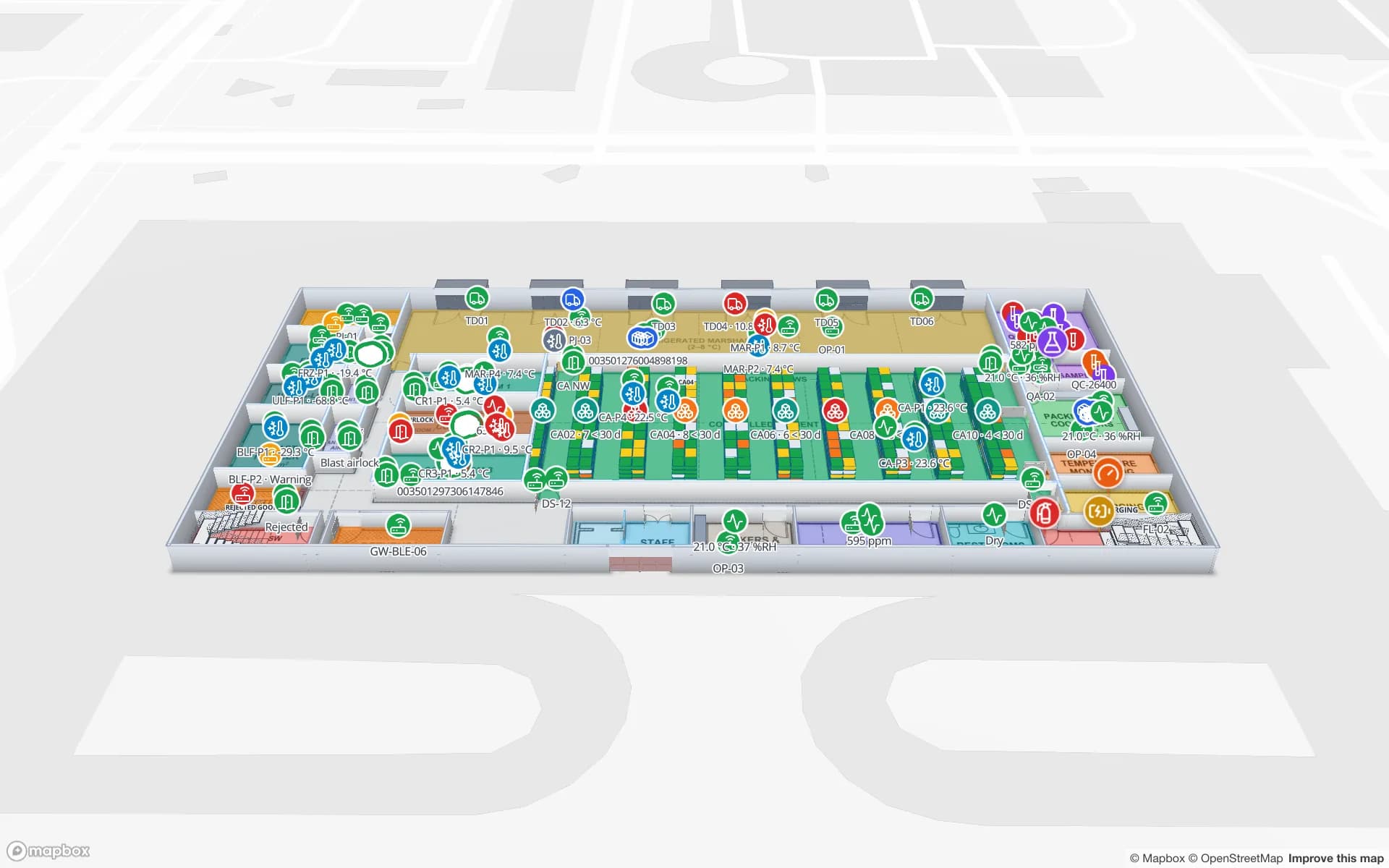
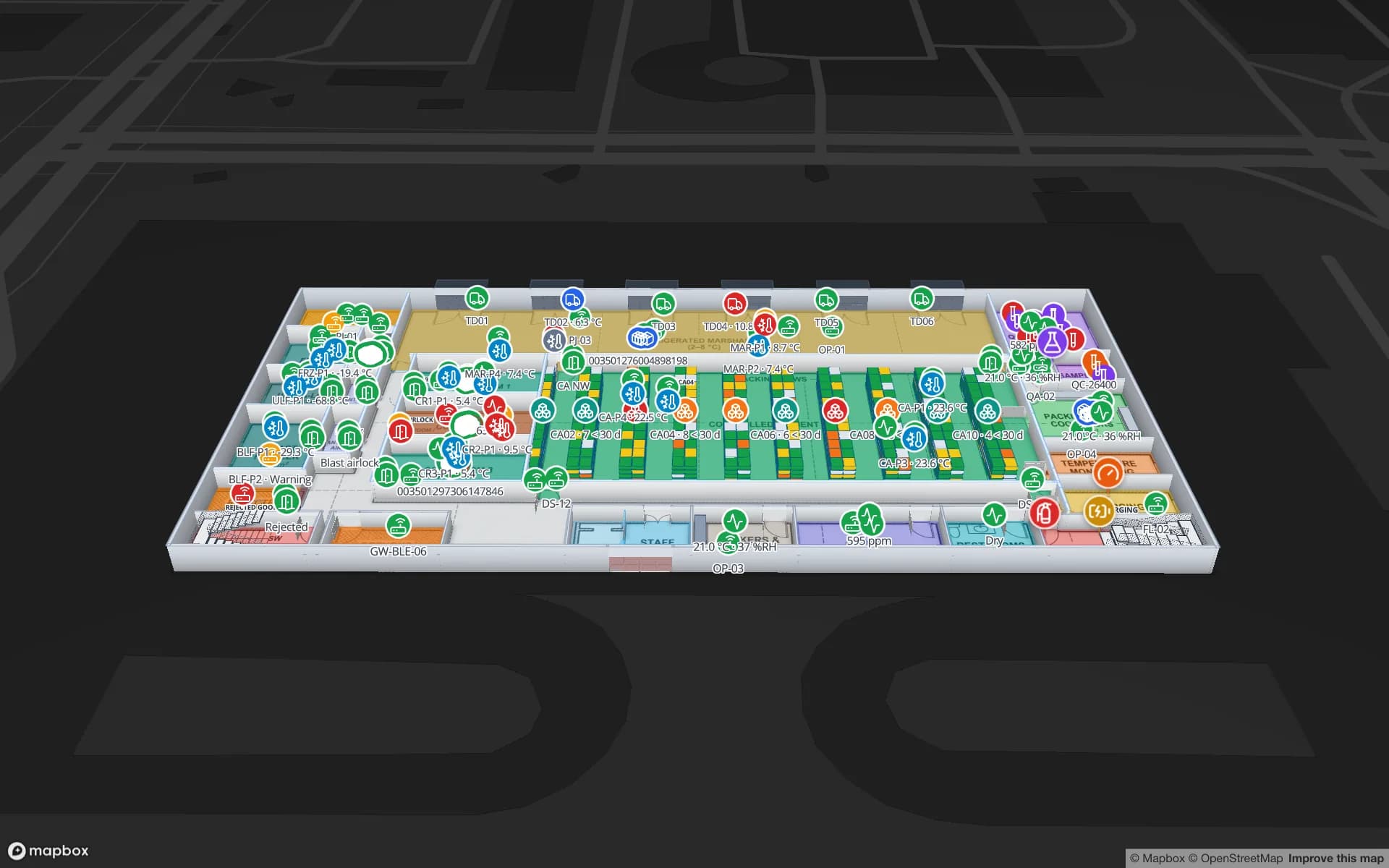
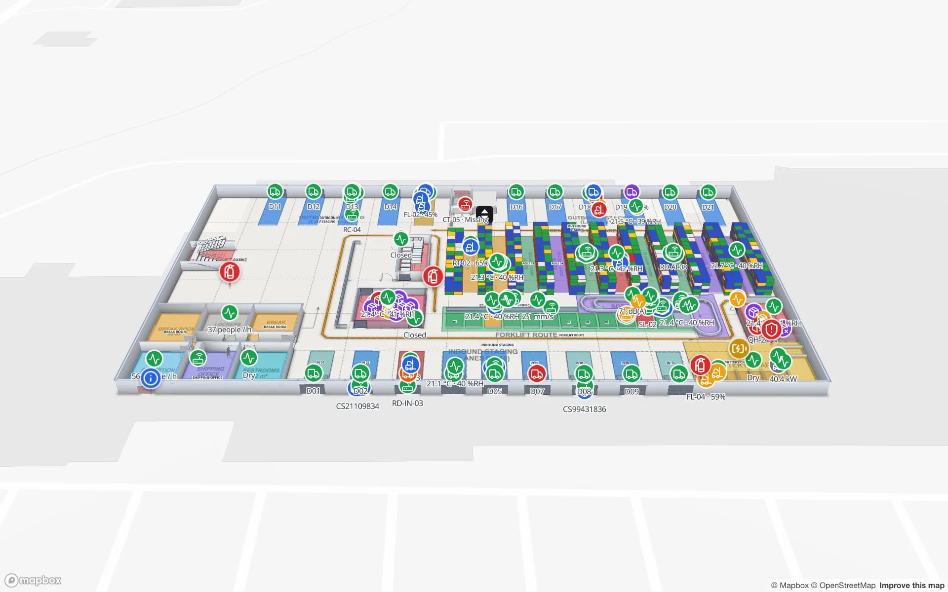
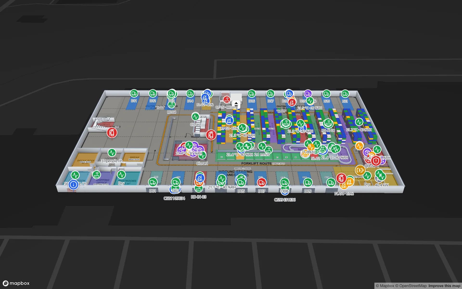
Crestline Fulfillment Center, a fulfillment center demo, in the Spatial Map 3D viewer with live device markers
Crestline Fulfillment Center
Crestline Fulfillment Center, a demo fulfilment centre: 20 racks with 2,204 rack locations, pick-to-light, packing, staging lanes, forklifts and the trailer yard.
Rack locations in the Crestline demo fulfilment centre
2,204
Software to install — set up and run from any browser
0
Demo facilities to explore online
13
Free trial, up to 5 facilities, no credit card
7 days

Thousands of kilometres between sites

Capital cities in Australia are thousands of kilometres apart and span several time zones, so a national operations or asset manager rarely sees most of their buildings in person. That is where a browser-based tool earns its keep. Nothing is installed on site: a floor plan is uploaded as a PDF or DWG, rooms, racks and docks are drawn on top, and the same live map opens in Brisbane, Adelaide or Darwin as it does at head office.

Setup can be remote end to end. Your team can do it in an afternoon, or our services team digitises the plans for you as a fixed-price custom service without anyone flying in. Once the map is live, read-only share links let a state manager, a client or a contractor open one site — with chosen floors and layers, an expiry date and a view cap — without an account.
3PL and distribution around Sydney and Melbourne

Much of Australia’s third-party logistics and retail distribution is concentrated in the western suburbs of Sydney and the industrial belts around Melbourne, with large sites also around Brisbane and Perth. Many are multi-client buildings where each client wants to know what is on hand, what was picked and what is waiting at the dock.

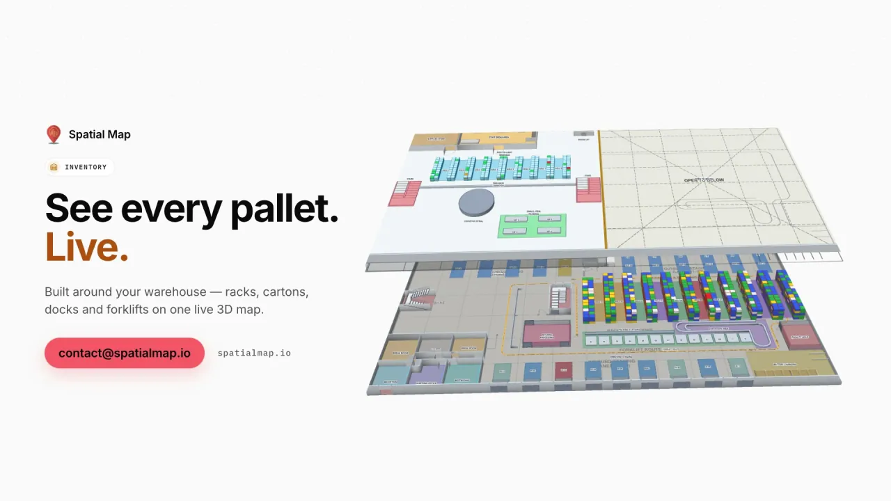
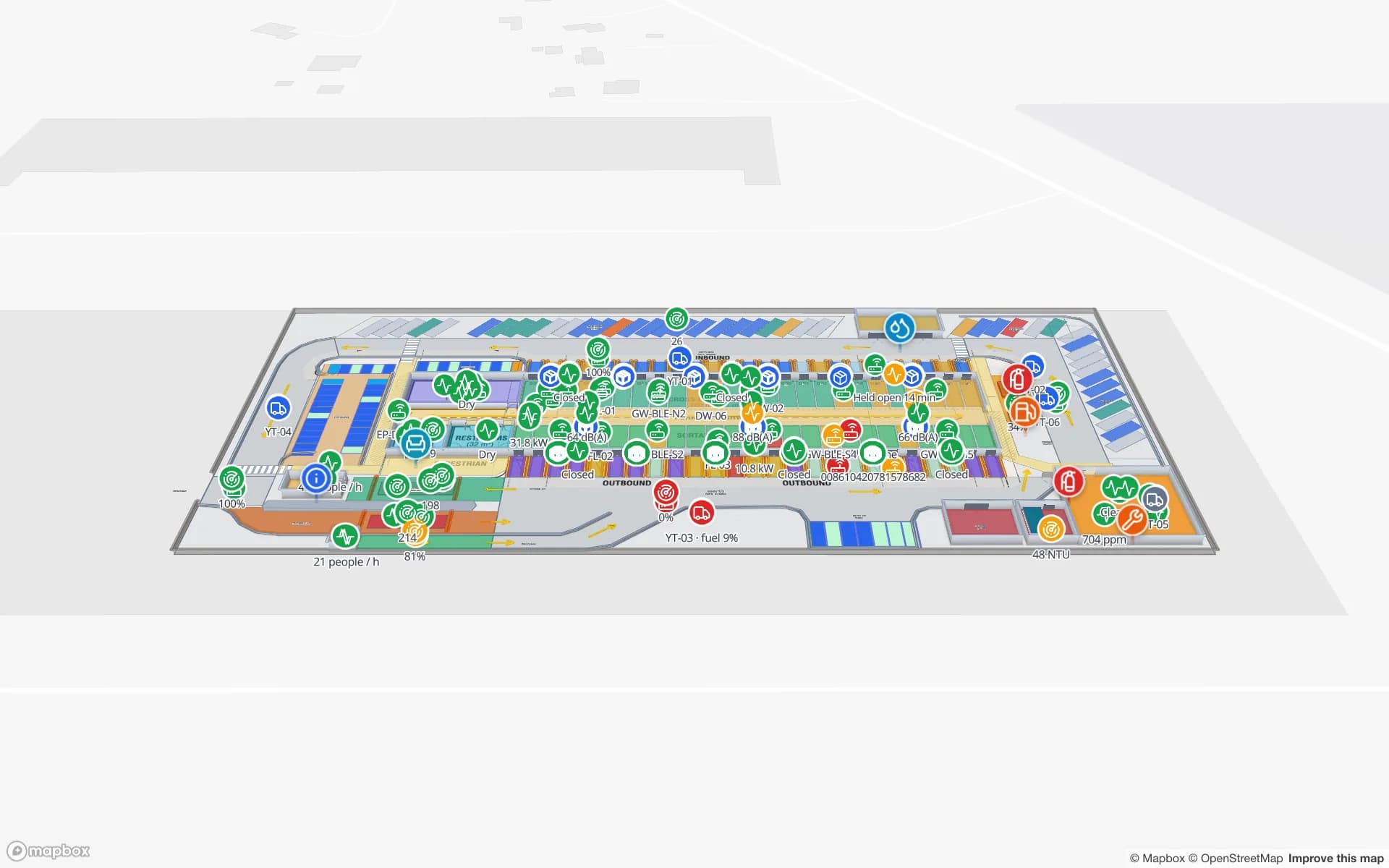
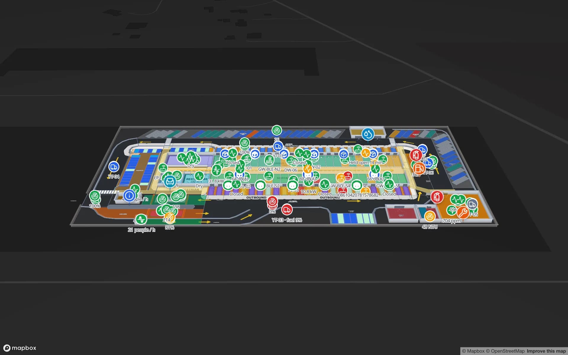
Spatial Map colours every rack location from your WMS stock by bin, follows RFID-tagged pallets and cartons door to door, and shows forklifts and trailers as live markers. The Crestline Fulfillment demo puts 2,204 rack locations, pick-to-light zones, packing and a trailer yard on one map. Facilities can be grouped into named solutions — by client, by state or by business unit — and reports export to PDF, Excel, CSV and JSON for monthly client reviews.

Port-side warehouses in Melbourne, Sydney and Brisbane

The Port of Melbourne, Port Botany in Sydney and the Port of Brisbane are the country’s main container gateways, and around each sits a ring of container parks, deconsolidation warehouses and transport depots. Containers are unpacked against tight free-time windows, and pallets have to reach the right outbound lane before the trucks leave.

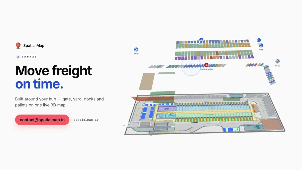
On the map, dock doors, yard slots, staging lanes and the gate are shapes your data colours: occupied or free, on time or late, staged correctly or not. The Eastport Cross-Dock demo shows 50 dock doors, 44 yard slots and 1,180 RFID pallets in one view.

Food and wine exports, kept cold

Beef, lamb, dairy, seafood, horticulture and wine are among Australia’s best-known exports, and much of that product spends time in cold stores, freezers and temperature-controlled wine warehouses before it is shipped to markets in Asia and beyond.

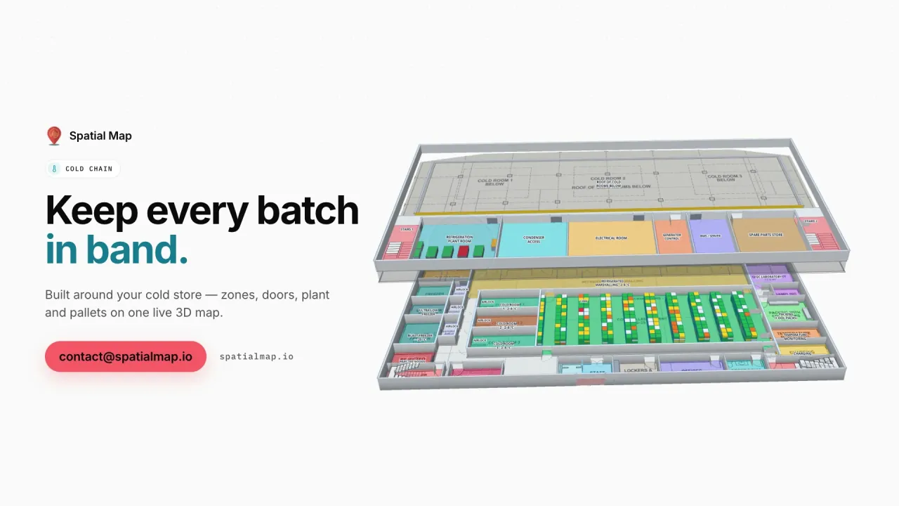
Spatial Map colours each room by the live reading from your sensors, shows doors open or closed and pallets on hold, and keeps every change in row history so a shift lead can replay the night. Your quality system and export documentation remain the record; the map makes the state of the building visible to the people on shift. The Polar Pharma demo, a pharma cold store, shows the pattern with temperature zones and 1,140 rack locations.

Mining supply and remote-site tool stores

Mines in Western Australia and Queensland are supplied by warehouses, workshops and tool stores in cities and regional hubs that may be hundreds of kilometres from the pit. Spares, tools and calibrated equipment are expensive, shared and easy to lose track of between the store, the workshop and the site.

Tag them with RFID or BLE and let your reader software or RTLS engine report the last location; Spatial Map shows each item on the store or workshop plan, with its check-out history in the detail drawer. The Harborview Campus demo shows the same check-in/check-out pattern for tagged equipment.

Shopping centres, stadiums and the Privacy Act

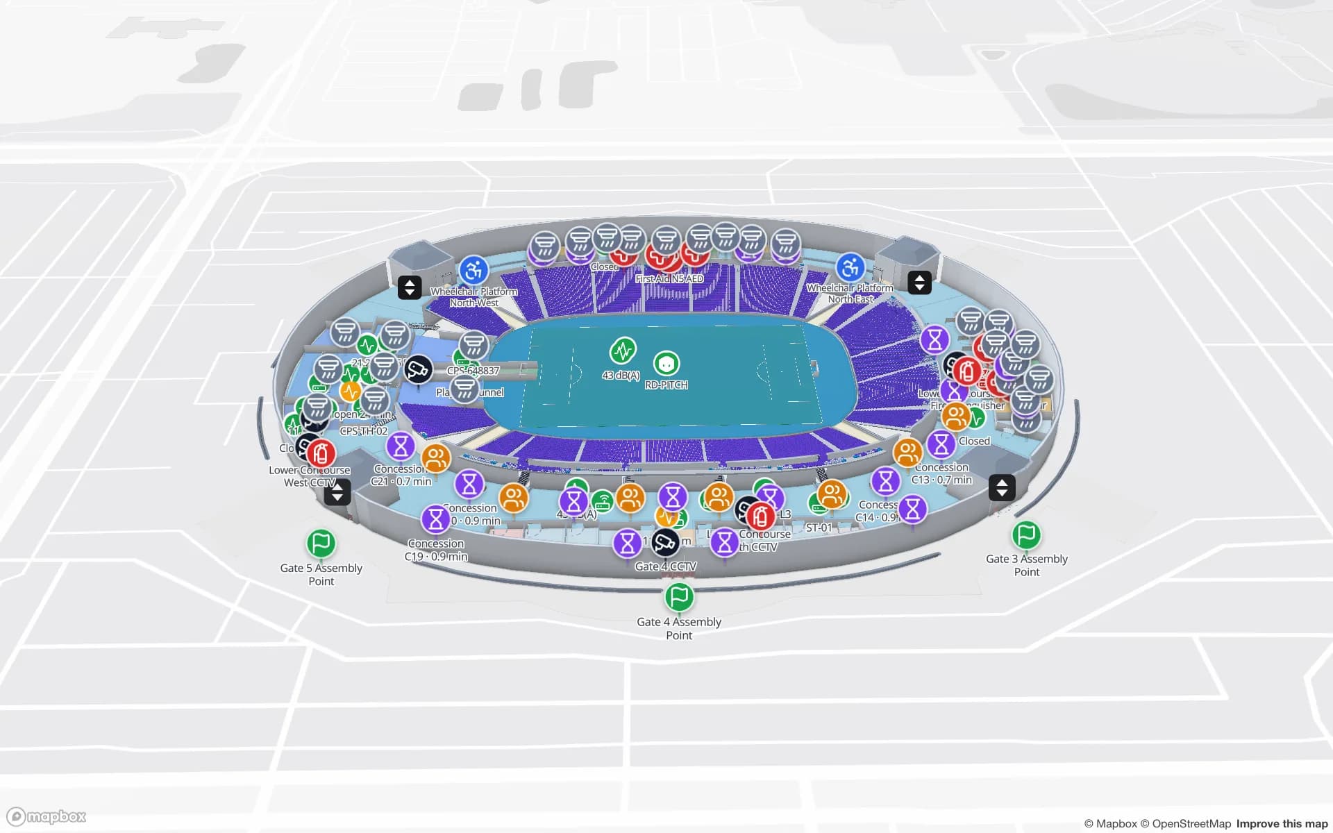
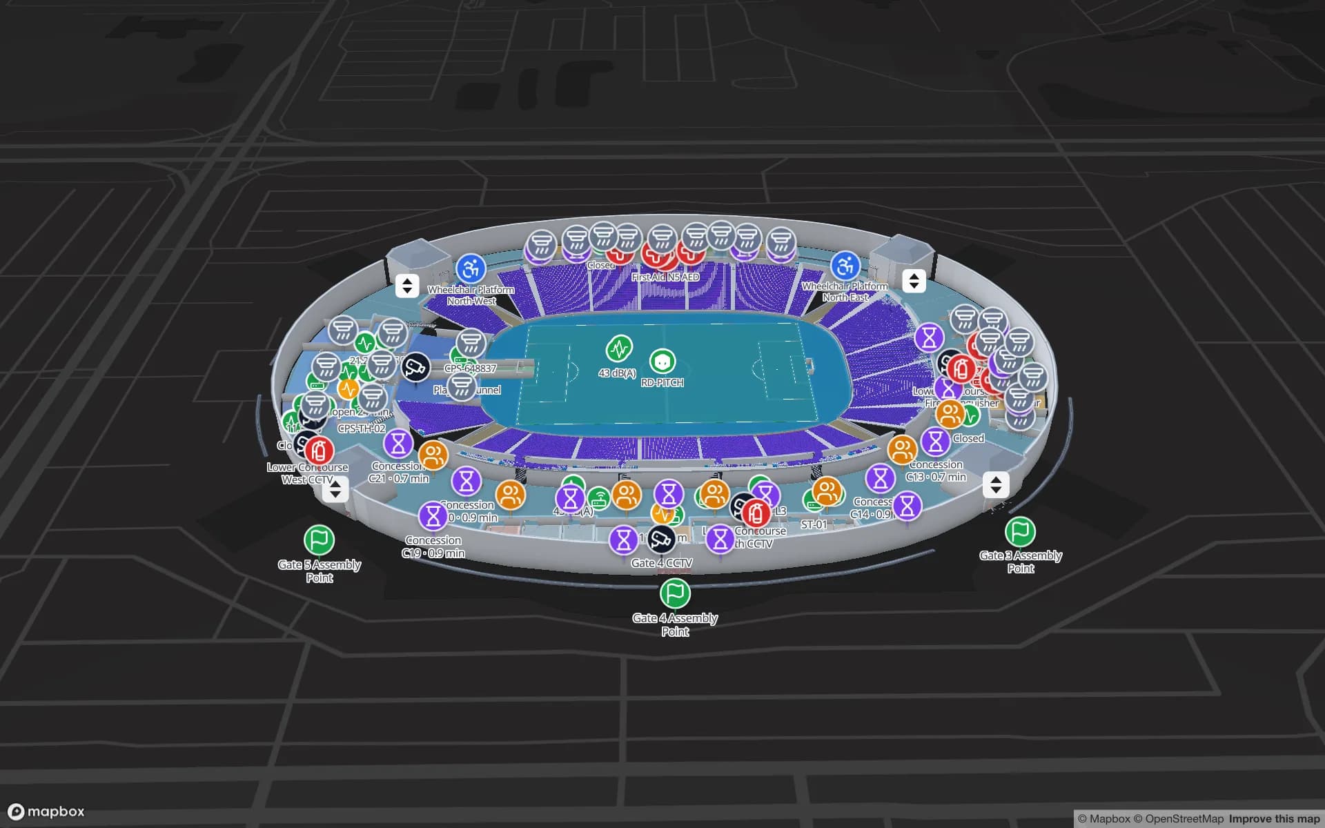
Large shopping centres and stadiums hosting football codes, cricket and concerts need the same thing on event or trading days: a live picture of gates, concourses, stores and crews. The Crown Park Stadium demo shows turnstile scans, crowd counters and food and beverage sales on one map.

Where data relates to people, the Privacy Act 1988 and the Australian Privacy Principles are the context, and state and territory laws such as the NSW Workplace Surveillance Act 2005 set notice requirements for tracking surveillance of employees. Your legal advisers decide what applies; many projects tag assets and stock rather than staff. A data processing agreement is available, and the security page describes how data is protected.

How Spatial Map does it

From floor plan to live map, without a site visit

  1. 01

    Upload the plan

    A PDF (scaled from standard sheet sizes) or a DWG from AutoCAD R2004–R2018, placed at real-world units.

  2. 02

    Draw the building

    Racks with their locations, dock doors, cold rooms, walls, stairs and lifts on every floor.

  3. 03

    Connect your systems

    Your WMS, RFID middleware or sensor platform posts rows to a table, or Spatial Map polls its REST endpoint.

  4. 04

    Share across states

    Live map, history playback, reports and read-only links for state managers and clients.

What Australian teams use it for

3PL multi-client warehouses

Rack-level stock, RFID pallets and the trailer yard, with a share link per client.

Container deconsolidation near the ports

Dock doors, yard slots and pallets staged for the right outbound lane.

Meat, dairy and wine cold stores

Rooms and freezers coloured by live temperature, with held pallets marked.

Mining-supply tool stores

Tagged tools, spares and calibrated equipment with check-out history.

Stadium and event-day operations

Turnstiles, crowd counters, concessions and crews on one live map.

See it on real demo facilities

Fictional names, real floor plans, live sensors, RFID, BLE tags and gateways — open any of them in the browser.

All 13 demo facilities

Questions from Australian teams

Yes. Spatial Map runs in the browser, so the floor plan is uploaded, the building drawn and the data connected from anywhere. If you prefer, our services team digitises the plans remotely as a fixed-price custom service.

Yes. It is hardware- and vendor-agnostic: your WMS, RFID middleware or RTLS engine posts rows to a Spatial Map table through the write API, or exposes a REST endpoint (JSON, GeoJSON or CSV) that Spatial Map polls on a schedule. CSV and Excel uploads work too.

They are context for your project, not something Spatial Map satisfies on your behalf. The Privacy Act 1988 and state laws such as the NSW Workplace Surveillance Act 2005 can apply when tracking relates to people; your legal advisers decide. Spatial Map only shows the data you send, and many projects tag assets rather than staff.

No. Spatial Map is sold online and our team works with customers remotely, by video call and through the contact form. The product runs in the browser, so there is nothing to install on site.

The same worldwide, in US dollars: a 7-day free trial for up to 5 facilities with no credit card, then Pro at $60 a month or $600 a year for up to 4 facilities. Larger networks are quoted as custom services.

Map your first Australian site this week.

Start the free trial, or send us a floor plan and a sample of your WMS or RFID data through the contact form and we will show you your own building live.