Naples · the port, Nola and Marcianise interports, Capodichino

Inventory tracking in Naples, from a port in the city to the interports inland

Spatial Map is browser-based inventory mapping software: it turns a warehouse, port shed or stockroom plan into a live 3D map and colours each rack, bay and door from your WMS, RFID reads and tables. Inventory tracking in Naples works with an unusual geography: a commercial port in the middle of the city that leads Italian cabotage, interports inland at Nola and Marcianise, and an airport ten kilometres away with a night closure. The app is in English; your own names and notes can be in Italian.

No credit card. Runs in the browser. Pro is $60/month for up to 4 facilities. Book a demo

Crestline Fulfillment Center, a fulfillment center demo, in the Spatial Map 3D viewer with live device markers
Crestline Fulfillment Center
Crestline Fulfillment Center, a demo warehouse: 20 racks and 2,204 locations coloured by stock status, pick modules, packing stations, staging lanes and the trailer yard.
Rack locations in the Crestline fulfilment demo
2,204
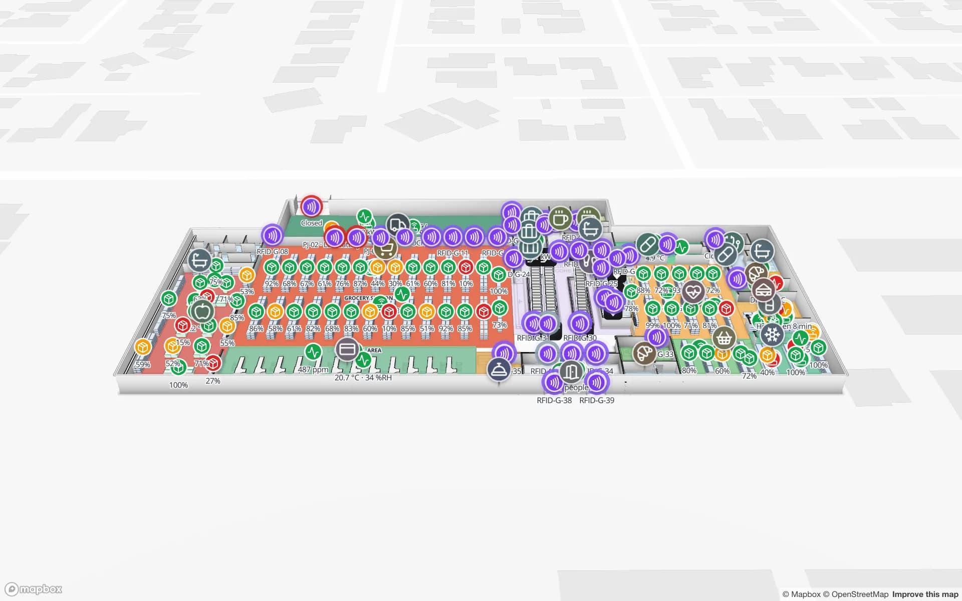
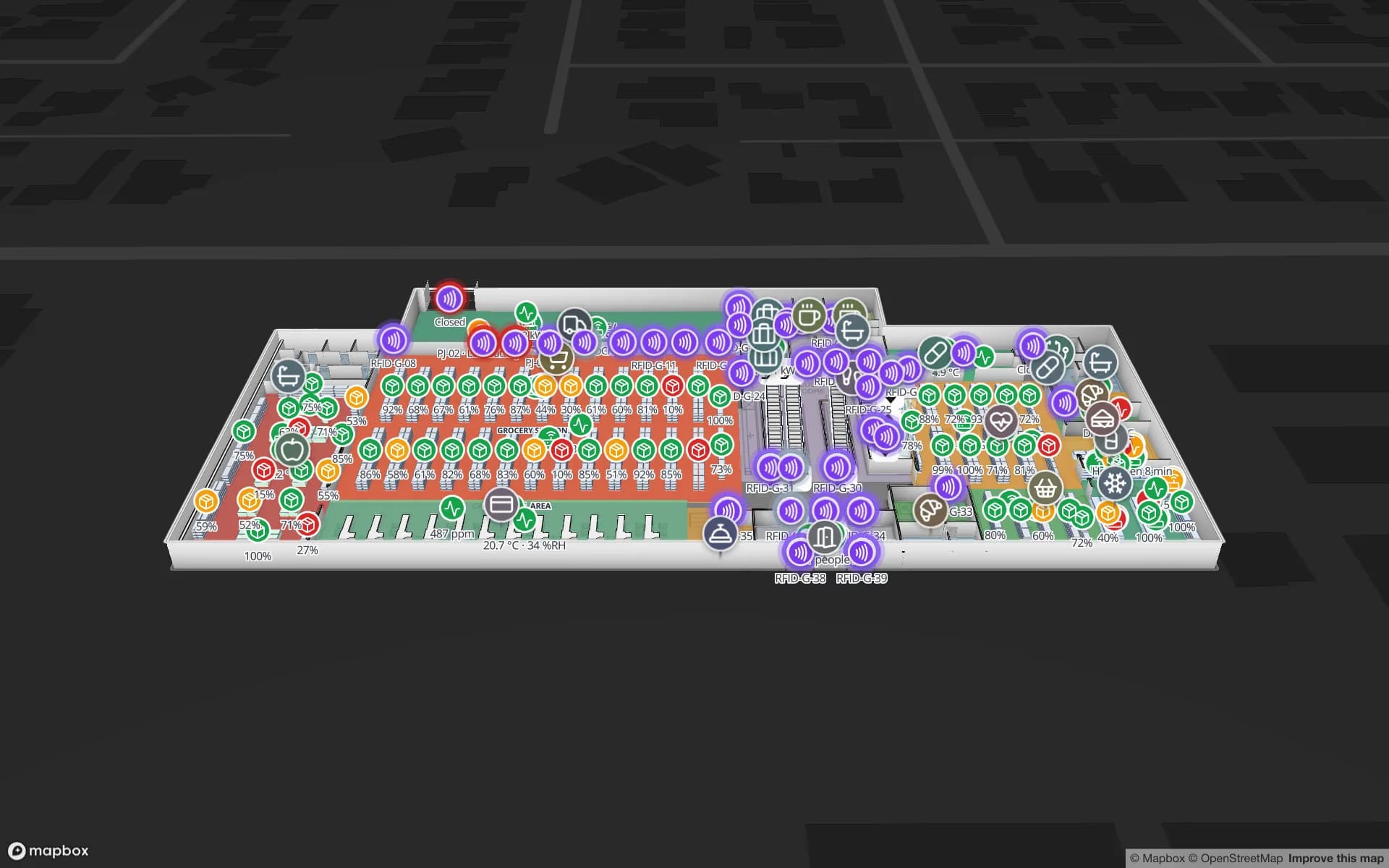
Readers across three floors in the Retail Mart demo
85
Interface languages, none of them Italian
6
Free trial, up to 5 facilities, no card
7 days

A port in the middle of the city, and what leaves it by ferry

The Central Tyrrhenian Sea Port System Authority governs the ports of Naples, Salerno and Castellammare di Stabia. The Naples port sits in the centre of the city, about 10 km from Capodichino airport, and descriptions of the port system say it leads Italian cabotage with about half of national traffic and is a freight and passenger hub for Sicily and Sardinia. Reports on the system also give record cruise traffic: 1.7 million passengers in 2024 and 2.2 million in 2025, with 567 landings in the later year.

Cabotage means trailers and rolling cargo that board ferries, so the stock question is about yards and queues: which trailer is waiting at which gate, which pallet belongs on which sailing, what must be loaded before the cut-off. Draw the yard as slots, read trailer and pallet tags at the gate and the door, and the map shows each load’s state. The Eastport demo shows 50 dock doors, 44 yard slots and 1,180 RFID pallets, and the post on cross-dock yard visibility walks through it. Spatial Map does not connect to port, customs or ferry-line systems.


Old port warehouses, and buildings with no plan

A 2022 survey of the authority’s three ports counted 59 buildings with a total area of 165,410 m², of which only 37 % are in use. For Naples the areas of highest historical value include the former Magazzini Generali, the general warehouses of the port, and the former Immacolatella Vecchia maritime station. Warehouses of that age have thick walls, odd levels and no current drawing.

If your stock sits in an old building like that, start with whatever plan exists: a scan, a photo of a framed drawing, even a sketch to scale. Align it, let AI Map draft the floor for a person to review, and draw racks and bays on top. The post on digitising a paper floor plan shows how, and the Crestline demo shows what the finished map looks like. Spatial Map does not say what an old building may carry; fixing readers to historic walls is for you and the owner to decide.

Nola and Marcianise: the inland end of the network

The national logistics plan treats the ports of Naples and Salerno and the Nola, Marcianise–Maddaloni and Battipaglia interports as one network, links the industrial districts to them by rail or intermodal terminals, and names the poor road and rail networks as the main shortcoming of the Campanian system. Interporto Campano’s operating office is in Nola.

In practice a lot of stock sits inland and moves to the port or the shops by road, so accuracy at the shed matters. Draw each warehouse as a facility, load stock by location from your WMS as a table (CSV or Excel upload, the write API, or a REST endpoint that Spatial Map polls) and colour racks by stock status; cycle counting with RFID is the quick win, covered in the post on how RFID stock counting works and on the stock counting page. Several buildings can share one workspace, grouped as one solution; see group a site into a solution.

Cruise ships, tourist retail and the airport that sleeps

Capodichino’s own website says the airport is closed from 22:30 to 03:30 for security reasons, in accordance with ENAC, except for exceptional delays. For overnight air freight and courier work, that sets the window in which consignments must be staged and handed over.

Cruise calls raise a different problem: peaks of visitors on a few days, and retail and hospitality stock that must be at the right counter or stockroom beforehand. Item-level RFID lets a handheld count a rail in seconds, and a reader at the stockroom door shows what moved to the floor; the Retail Mart demo shows 85 readers over three floors, and RFID in retail explains the counting side. Spatial Map does not connect to cruise or airline systems.

Services for teams in Naples

Naples teams tend to start in one of these places:

  • Port-side warehouses and ferry cargo begin with inventory tracking at gates and doors, because a missed sailing costs a day.
  • Interport tenants and distributors begin with stock by location and cycle counts, then add RFID at the dock doors.
  • Retail and hospitality teams begin with item counts at the stockroom door, and asset tracking for equipment and linen pools.
  • If you have no readers, antennas or tags yet, our team can source them on request, quoted per project, with warranty and device support from the manufacturer: see hardware and demo kits on request.
  • WMS integrations, handheld stock-take apps and retail-store software are built as client projects. The product runs as cloud or on-premises; RTLS and UWB is for large yards where vehicles and people must be located continuously.

Also served nearby

The same page covers Nola, Marcianise, Maddaloni and Caserta inland, Pozzuoli, Casoria and Acerra around the city, Torre Annunziata and Castellammare di Stabia along the bay, and Salerno and Battipaglia to the south. The map opens in a browser at any of them. Italian-language text is on the Italian version of the Italy page.

How Spatial Map does it

From a stock list to a live Naples map

  1. 01

    Load stock by location

    Upload a CSV or Excel export from your WMS as a table: location, SKU, quantity, status.

  2. 02

    Draw racks, bays and gates

    Import whatever plan exists, let AI Map draft the floor, and name areas the way your WMS does.

  3. 03

    Add reads where they pay back

    Gates and dock doors for trailers and pallets, stockroom doors for retail, handhelds for cycle counts.

  4. 04

    Count, share and alert

    Cycle counts coloured per rack, read-only links for contractors, and in-app alerts for stale reads.

What Naples teams track

Port sheds and ferry cargo

Gates, yard slots and pallets staged for the right sailing.

Interport distribution centres

Rack locations by stock status, pick modules and staging lanes.

Tourist retail and stockrooms

Item-level counts by shelf and department across floors.

Food and chilled stock

Cold rooms tinted by live temperature, with held pallets in place.

See it on real demo facilities

Fictional names, real floor plans, live sensors, RFID, BLE tags and gateways — open any of them in the browser.

All 13 demo facilities

Inventory tracking in Naples — questions we get

No. It has no link to port community, customs, ferry-line or airline systems. It shows your own reads, tables and sensors, so it complements those systems rather than replacing them.

With whatever exists: a scan, a photo of a framed drawing or a sketch to scale. Align it at real size, let AI Map draft the floor and correct what it gets wrong. The map is only as good as the drawing, so measure one wall to check the scale.

Yes. Upload a CSV or Excel export as a table, or have your WMS post rows through the write API (HTTPS, bearer API key, bulk upsert, 60 requests per minute per key), or expose a REST endpoint that Spatial Map polls. It does not write back to the WMS.

If the items carry RFID tags, a handheld can read a rail in seconds and your middleware posts the result to a table, which colours the stockroom by count. Spatial Map does not read tags itself.

Not yet. It is in English, Spanish, French, German, Arabic and Chinese. Location names, notes and column headings you write can be in Italian, on the map and in exported PDF and Excel reports. There is an Italian version of the Italy page.

No. Spatial Map is sold online and our team works with customers in Italy remotely, by video call and through the contact form, in English. There are no local resellers or partners.

In US dollars, the same worldwide: a 7-day free trial for up to 5 facilities with no card, then Pro at $60 a month or $600 a year for up to 4 facilities. Larger estates are quoted as custom services; RFID hardware, if you ask us to source it, is quoted per project.

Map one Naples warehouse or stockroom this week.

Start the free trial and open the Crestline demo, or send us a stock export and the plan of a shed, warehouse or stockroom through the contact form.