Africa · South Africa, Kenya, Nigeria, Egypt, Morocco and Ghana

Indoor mapping and RFID tracking in Africa

Spatial Map brings indoor mapping and RFID tracking in Africa into the browser: it turns a floor plan into a live 3D map fed by the readers, gateways and sensors you already run. Across the continent the buildings that need it most sit at the continent’s gateways and along its export chains — port-side warehouses, cold stores full of flowers, fruit or medicines, supply stores behind the mines and distribution centres for fast-growing retail chains. Nothing is installed on site, so a team in Lagos, Nairobi or Johannesburg opens the same map as head office.

No credit card. Runs in the browser. Pro is $60/month for up to 4 facilities. Book a demo

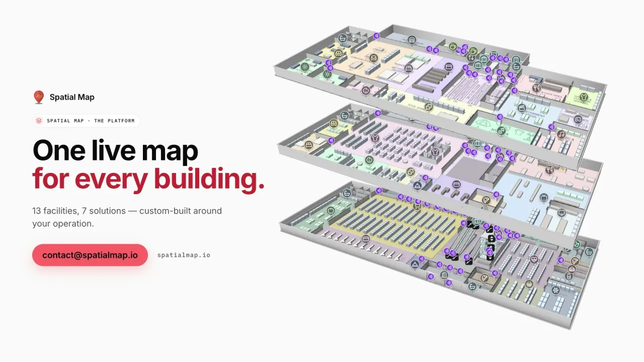
Platform film: “One live map for every building” beside three stacked floors of a demo warehouse in 3D
The Spatial Map platform film: demo facilities modelled to scale, with their devices layered over the floor plan.
Demo facilities to explore in the browser
13
Interface languages, including French and Arabic
6
Open-source edition you can host yourself
MIT
Free trial, up to 5 facilities, no credit card
7 days

Gateways on every coast

Most of what Africa imports and exports passes through a small number of large ports. Durban is South Africa’s busiest container port; Mombasa is the main gateway for Kenya and the landlocked countries along the Northern Corridor; Lagos handles much of Nigeria’s trade, now joined by the deep-sea port at Lekki; Tema is Ghana’s main port; and Tanger Med, on the Strait of Gibraltar, has become one of the largest container ports on the Mediterranean. Egypt’s ports along the Suez Canal are covered on our Egypt page.

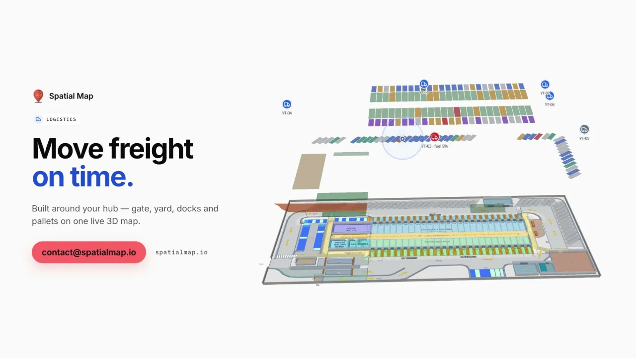
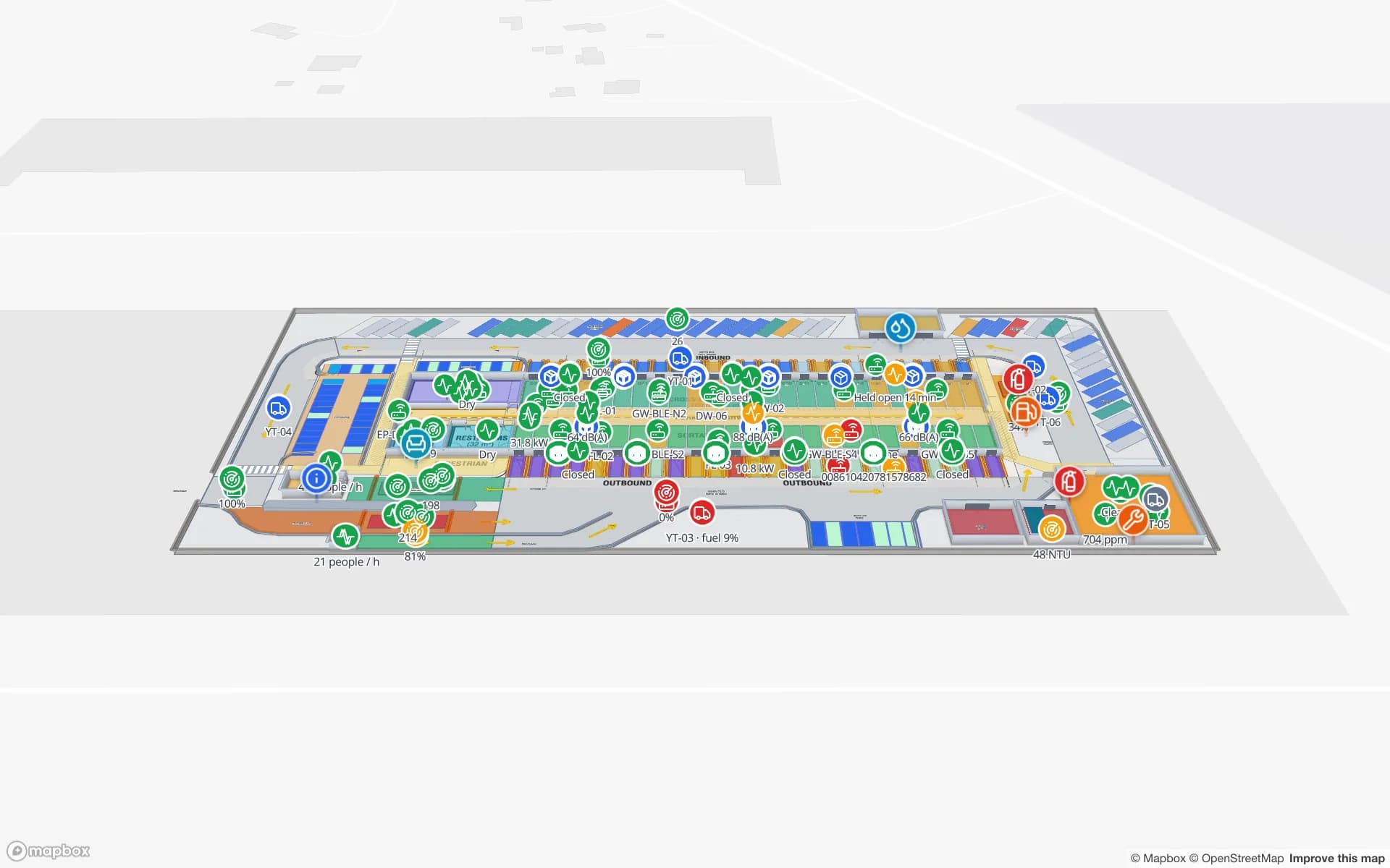
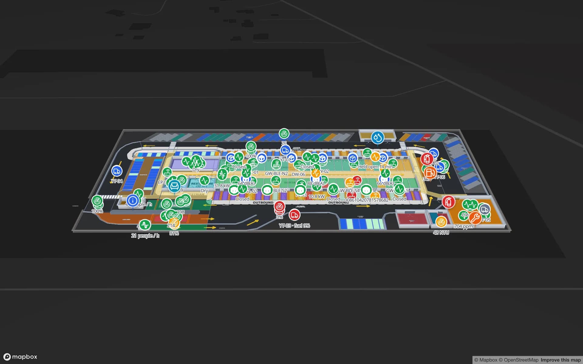
Behind each port sit container freight stations, bonded warehouses and cross-docks where cargo is unpacked, stored and sent inland. Spatial Map draws their dock doors, yard slots, gates and staging lanes and colours them from your yard or warehouse data; RFID-tagged pallets appear at the reader that last saw them. The Eastport Cross-Dock demo shows 50 dock doors, 44 yard slots and 1,180 RFID pallets in one view. Spatial Map does not connect to port community or customs systems.
Cold chains that start on the farm

Several of the continent’s best-known exports are perishable. Kenya ships cut flowers to Europe by air; South Africa is one of the world’s largest citrus exporters; Egypt sends oranges and fresh produce to several continents; Morocco supplies European markets with fruit and vegetables. Between the farm and the aircraft or reefer container, the product waits in packhouses, pre-cooling rooms and cold stores where a door left open costs shelf life.

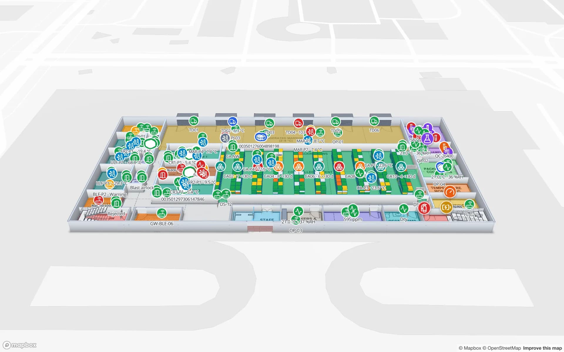
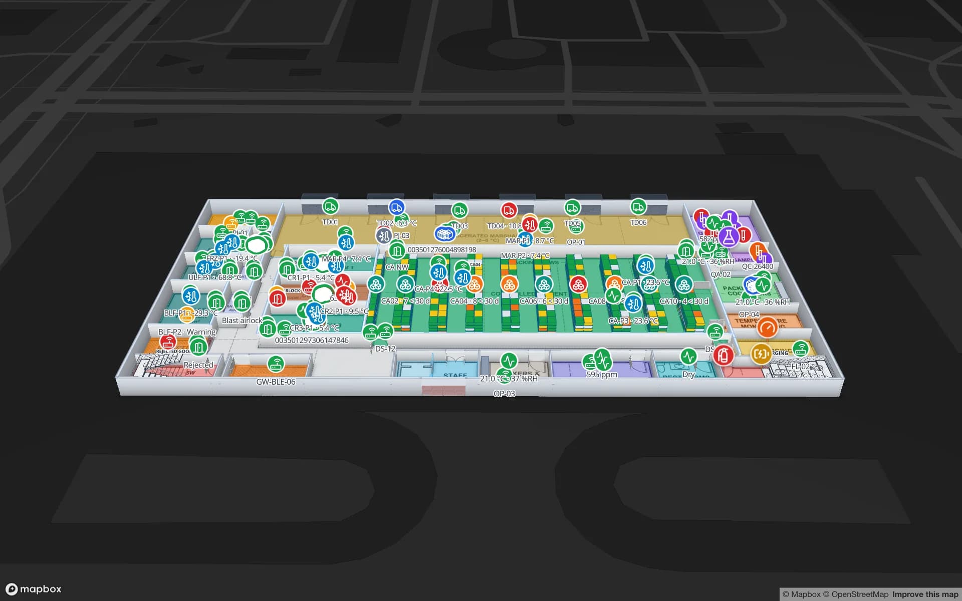
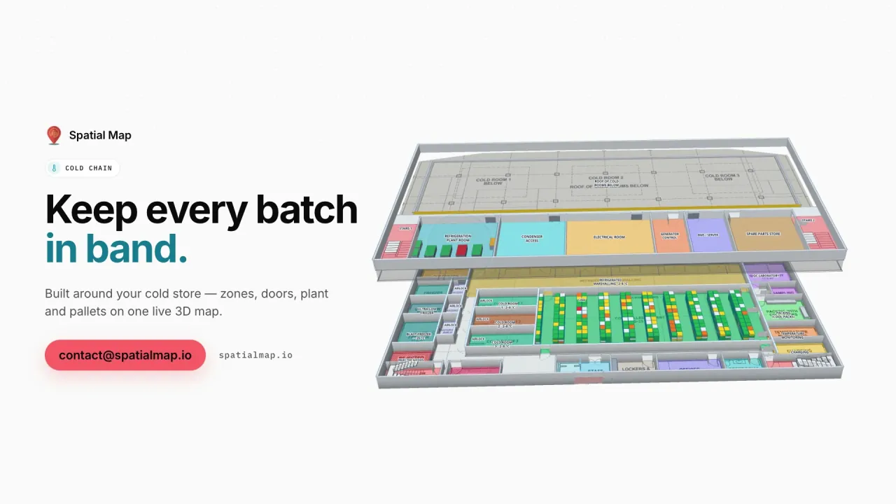
On the map, each cold room takes the colour of its latest sensor reading, pallets on hold show where they stand, and the History player replays a night shift. An alert rule can flag a room that stays out of range for a set number of minutes, or a sensor that has stopped reporting; alerts arrive in the app — bell, toast and Alerts page — with Show on map. The Polar Pharma demo shows the pattern in a pharmaceutical cold store with 1,140 rack locations.

Mines, plants and the stores behind them

Mining shapes supply chains from South Africa’s platinum and gold to Ghana’s gold and Morocco’s phosphates, and every operation depends on stores of spares, tools and calibrated equipment that are expensive and slow to replace. Manufacturing is growing too: Morocco has built an automotive industry around Tangier and Kenitra that exports mainly to Europe, and Egypt, Nigeria and South Africa all have large industrial bases.

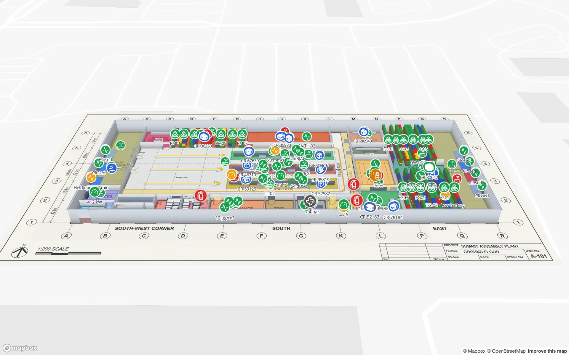
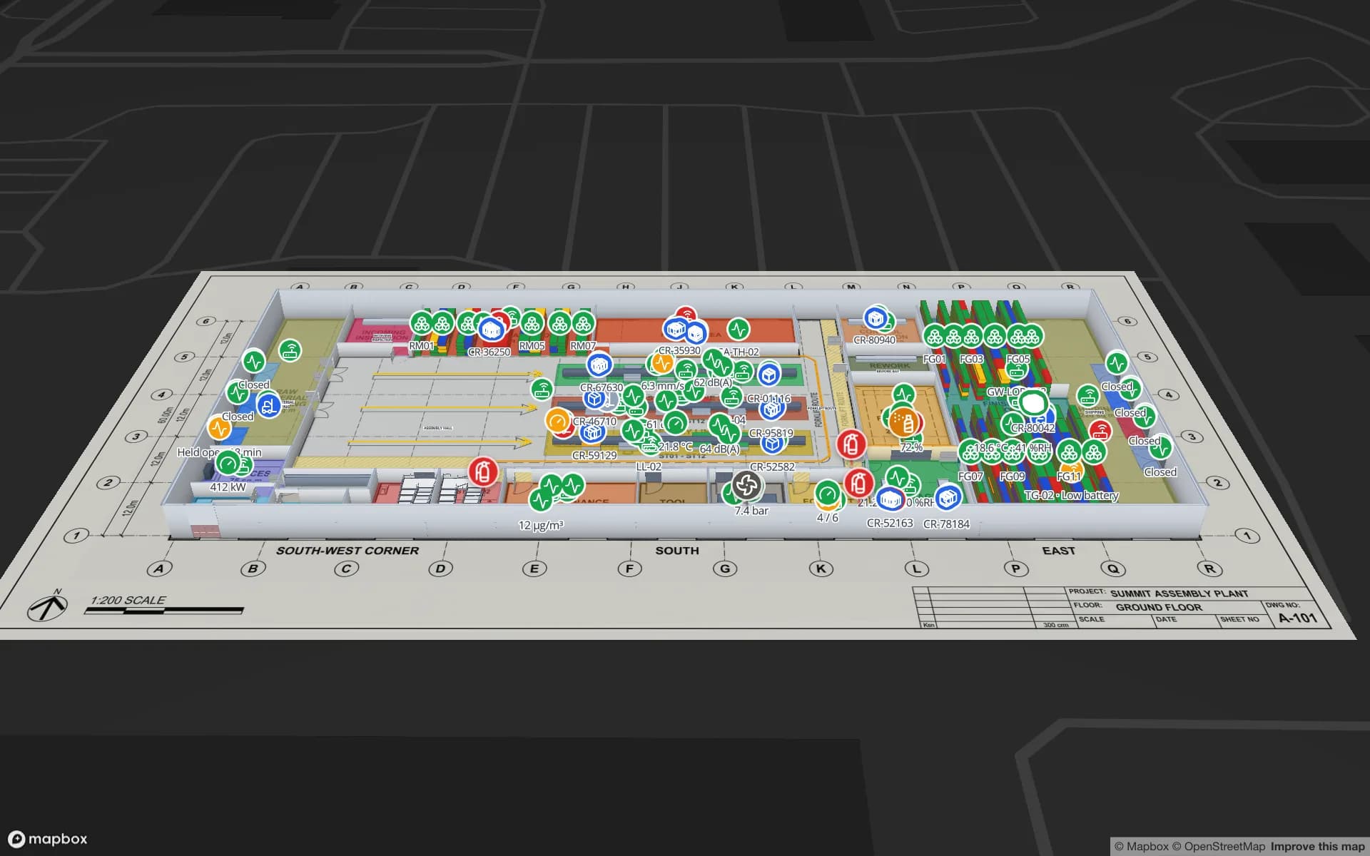
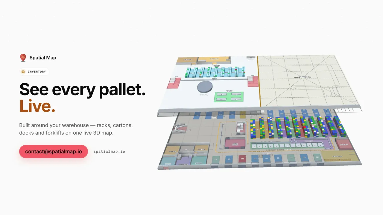
RFID or BLE tags on tools and spares, read at the store door or reported by your RTLS, place each item on the store plan with its check-out history. On a plant, lines, work-in-progress buffers and racks are coloured from your ERP or MES, as in the Summit Assembly demo with 867 rack locations. See RFID tool tracking for the store side.

Retail chains and malls in growing cities

Johannesburg, Lagos, Nairobi, Accra, Casablanca and Cairo all have large multi-level malls, and national retail chains run distribution centres that feed hundreds of stores. Spatial Map maps the DC rack by rack and the store floor by floor: shelf and department stock, RFID reads at the doors, fridge temperatures and footfall as a heatmap that stops at walls. The Retail Mart demo shows three floors with 85 RFID readers.

For visitors and new staff, wayfinding builds walking routes across floors through stairs, lifts and escalators, with a Step-free option, on read-only share links that open in any phone browser.

Patchy power and links, and paying for software

Power cuts and unreliable connections are a fact of life at many African sites. Spatial Map runs in the cloud, so viewing the map needs a connection; reads and readings are usually buffered by your middleware or a small local relay and posted in batches with the table write API when the link is back. Row history keeps the gap visible, and a “not updated for N minutes” alert rule tells you which gateway went quiet.

Pricing is the same worldwide, in US dollars. Teams that would rather run everything on their own server can use the open-source edition, released under the MIT licence and installed with Docker.

Data protection laws and languages

Many African countries now have data protection laws, among them South Africa’s POPIA, Kenya’s Data Protection Act 2019 and Nigeria’s Data Protection Act 2023, with their own laws in Ghana, Morocco and Egypt. They matter when location data can be linked to a person, such as a staff badge; tags on pallets, tools and stock do not identify anyone. Your legal advisers decide what applies. A data processing agreement is available and the security page explains how data is protected.

The interface is available in English, French, Arabic, Spanish, German and Chinese, so a francophone team in Casablanca and an English-speaking team in Accra can work in the same workspace. Spatial Map is sold online, and our team works with customers remotely, by video call and through the contact form.

How Spatial Map does it

From floor plan to live map, from anywhere

  1. 01

    Upload the plan

    A PDF, a DWG from AutoCAD R2004–R2018 or a scanned image, placed at real-world scale.

  2. 02

    Draw or draft the building

    Trace racks, docks, cold rooms and doors, or let AI Map draft walls, doors and racks for you to review.

  3. 03

    Connect the data

    Middleware or a local relay posts rows to a table in batches, or Spatial Map polls a REST endpoint.

  4. 04

    Operate across countries

    Group sites into solutions, watch in-app alerts and share read-only links with clients.

What teams across Africa map first

Port-side warehouses

Dock doors, yard slots and RFID pallets staged for the inland trucks.

Export cold stores

Cold rooms coloured by live temperature, with held pallets marked.

Retail distribution centres

Rack-level stock, RFID cartons and staging lanes before store runs.

Plants and supply stores

Lines, WIP and racks from your MES, spares with check-out history.

See it on real demo facilities

Fictional names, real floor plans, live sensors, RFID, BLE tags and gateways — open any of them in the browser.

All 13 demo facilities

Questions from teams across Africa

Spatial Map is sold online and runs in the browser, so teams in South Africa, Kenya, Nigeria, Egypt, Morocco, Ghana and elsewhere sign up the same way. We have no local offices or partners; our team works with customers remotely, by video call and through the contact form.

Viewing the map needs a connection. Data is usually buffered by your middleware or a local relay and posted in batches when the link returns, so the row history fills in. An alert rule of the type “not updated for N minutes” shows in the app which sensor or gateway has gone quiet.

Yes. Spatial Map has no reader drivers: each site’s middleware, RTLS engine or gateway software posts rows to a table with the write API, or exposes a REST endpoint Spatial Map polls. CSV and Excel uploads work too.

Yes. The app is available in English, French, Arabic (fully right-to-left), Spanish, German and Chinese, and each user picks their own. Room names, rack codes and report titles appear exactly as you type them, in any language.

Yes, with the open-source edition: MIT-licensed, self-hosted with Docker. The cloud edition is the managed service, with the free trial and the Pro plan.

The same worldwide, in US dollars: a 7-day free trial for up to 5 facilities with no credit card, then Pro at $60 a month or $600 a year for up to 4 facilities. Larger networks are quoted as fixed-price custom services.

Put your first African site on a live map.

Start the free trial, or send us a floor plan and a sample of your RFID, sensor or WMS data through the contact form and we will show you your own building live.