Middle East · GCC and Levant

Indoor mapping software and RFID tracking for the Middle East

From Gulf container ports and airport logistics districts to pharma plants in Jordan and distribution warehouses in Beirut, the region runs on buildings that move goods and people. Spatial Map turns those buildings into live 3D maps fed by your RFID readers, BLE gateways and sensors — with an Arabic interface that is fully right-to-left, not a translated afterthought.

No credit card. Runs in the browser. Pro is $60/month for up to 4 facilities. Book a demo

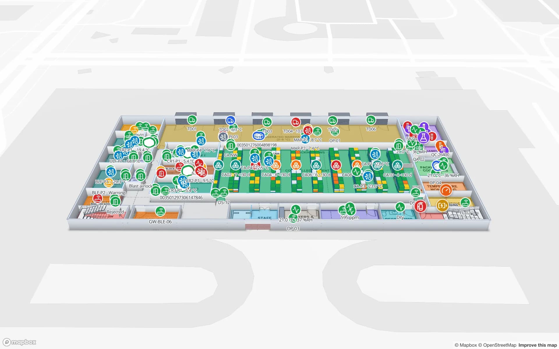
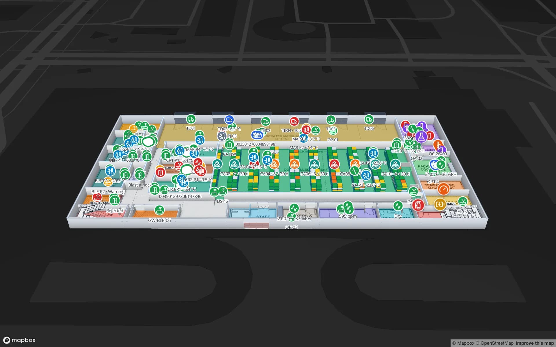
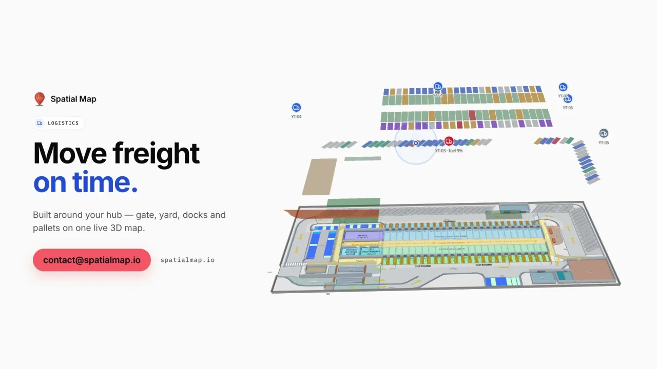
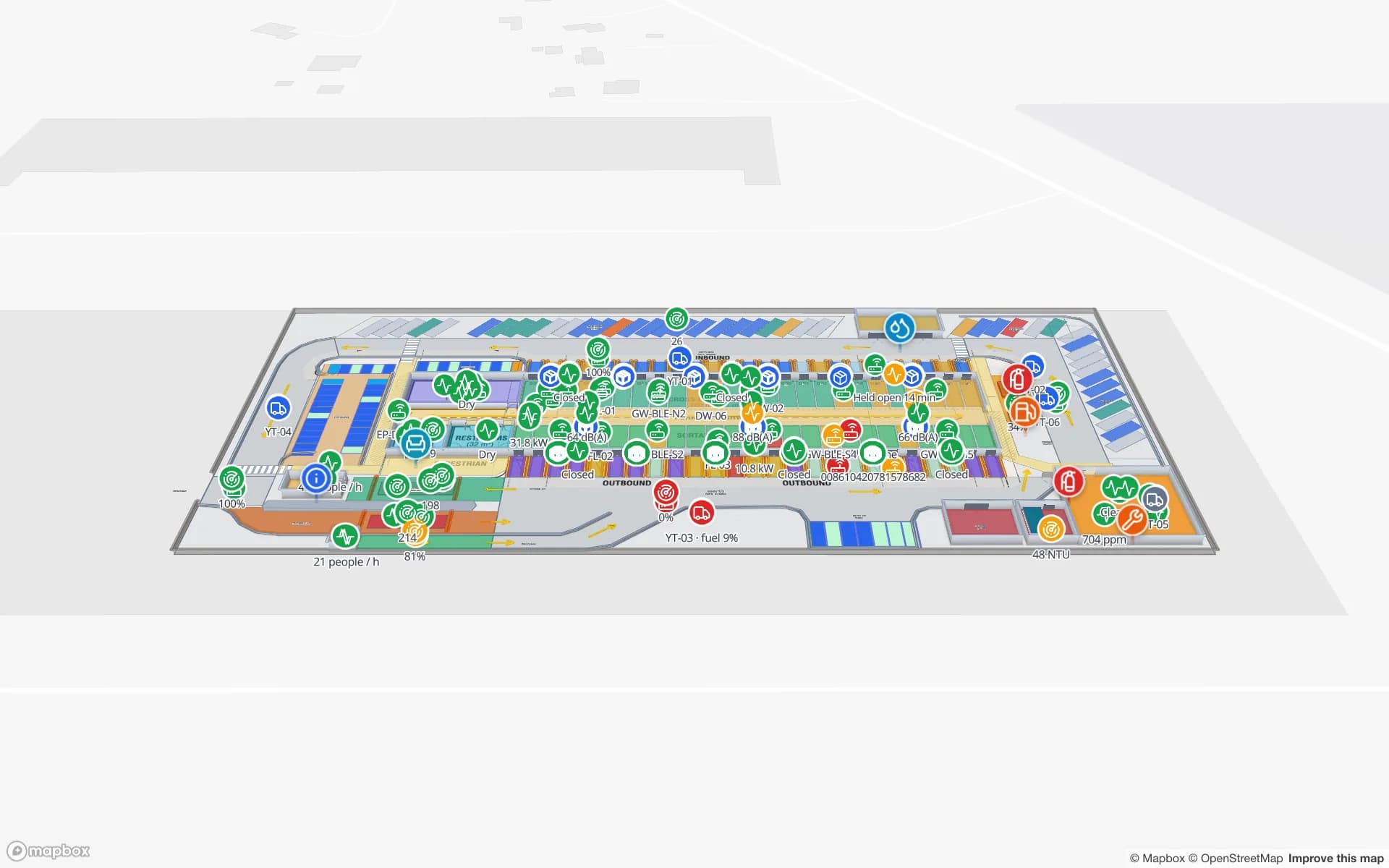
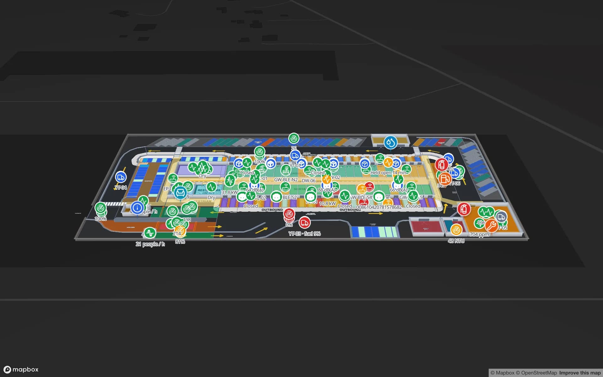
Eastport Cross-Dock Freight Hub, a cross-dock & trailer yard demo, in the Spatial Map 3D viewer with live device markers
Eastport Cross-Dock Freight Hub
Eastport Cross-Dock, a demo freight hub: 50 dock doors, 44 yard slots and 1,180 RFID-tagged pallets moving from gate and weighbridge to the outbound lanes.
Full right-to-left Arabic interface
العربية
Interface languages, each user picks their own
6
Demo facilities with live RFID, BLE and sensors
13
Software to install on site
0

A region building its logistics and venue capacity

Across the Gulf Cooperation Council, governments are diversifying their economies away from hydrocarbons, and logistics, aviation, tourism, retail and manufacturing sit at the centre of those plans. New ports, free zones, airport cargo districts, stadiums, exhibition centres and malls have opened in the last decade, and many more are under construction. In the Levant, Jordan and Lebanon have long-established pharmaceutical, retail and distribution businesses that serve markets well beyond their borders.

What these sites share is a need to see the building as it is right now: which dock door a pallet passed, which cold room is drifting warm, which hall is over capacity, where the loan equipment went. Spatial Map puts that on one live floor plan, in the browser, for every site in the estate.
Saudi Arabia and the UAE in depth

Saudi Arabia is investing heavily in logistics zones, industrial cities, cold chain and giga-project venues under Vision 2030, with Expo 2030 Riyadh and the 2034 FIFA World Cup adding new stadiums and destinations. Warehouses, pharma and food cold stores and crowd venues are the strongest fits — see indoor mapping and RFID tracking in Saudi Arabia.

The United Arab Emirates is a re-export and aviation hub: Jebel Ali port and its free zone, the Dubai South district around Al Maktoum International Airport, the Khalifa Economic Zones (KEZAD) in Abu Dhabi, and some of the world's busiest international airports. Malls, exhibition venues and food cold chain complete the picture — see indoor mapping and RFID tracking in Dubai and the UAE.

Qatar, Kuwait, Bahrain and Oman

The smaller GCC markets have their own mix of facilities, and the same platform covers all of them. A few examples of where a live building map earns its keep:

  • Qatar — the stadiums and fan venues built for the 2022 FIFA World Cup continue to host football and large events, and Hamad Port and Hamad International Airport anchor the country's cargo and passenger logistics.
  • Kuwait — a mature retail and mall market with the distribution warehouses and cold stores that keep it stocked.
  • Bahrain — a compact logistics market built around its deep-water port and close road links to Saudi Arabia.
  • Oman — ports and free zones along the coast, including Sohar, Duqm and Salalah, with warehousing and industry growing around them.

Jordan and Lebanon

Jordan has a pharmaceutical manufacturing industry that ranks among its leading exports, and Aqaba — the Kingdom's only seaport and a special economic zone — handles much of its trade. Cold rooms, QC labs and port-side warehouses are the natural starting points; see Spatial Map in Jordan.

Lebanon has a strong tradition of retail, FMCG and food distribution, hotels and events, often run by lean teams that value software with nothing to install. See Spatial Map in Lebanon.

Arabic and right-to-left as standard

The Spatial Map app ships in Arabic with a complete right-to-left layout — menus, panels, tables and reports mirror correctly — alongside English, French, German, Spanish and Chinese. Each user picks their own language, so an Arabic-speaking supervisor and an English-speaking engineer can work on the same facility at the same time.

Shape names, table columns and report titles are your own text, so Arabic room names, rack labels and zone names appear on the map and in exported PDF and Excel reports exactly as typed. For a workforce that spans many nationalities, that matters as much as the map itself.

RFID tracking across the GCC with the hardware you choose

Regional estates rarely use one hardware vendor everywhere. Spatial Map does not drive readers itself: your RFID middleware, RTLS engine, IoT platform or gateway software posts rows to a table through the write API, or exposes a REST endpoint that Spatial Map polls on a schedule. Spreadsheets and CSV exports can be uploaded too. A site in Dubai and a site in Muscat can run different readers and still appear in the same workspace, grouped into named solutions such as "Cold chain" or "Ports".

How Spatial Map does it

One workflow for every site in the region

  1. 01

    Import each building

    Upload PDF or DWG floor plans (AutoCAD R2004–R2018) or images and place them at real-world scale.

  2. 02

    Draw floors in 3D

    Rooms, racks, walls, doors, stairs, lifts and escalators — one facility per site, all in one workspace.

  3. 03

    Connect the data

    RFID reads, BLE positions, sensor readings and stock via the table write API, REST polling or file uploads.

  4. 04

    Run and share

    Live maps, history playback, built-in reports and read-only share links for head office, clients and contractors.

What teams across the region map first

Ports and cross-docks

Gate, weighbridge, dock doors and yard slots with RFID pallets staged in the right lane.

Airport terminals

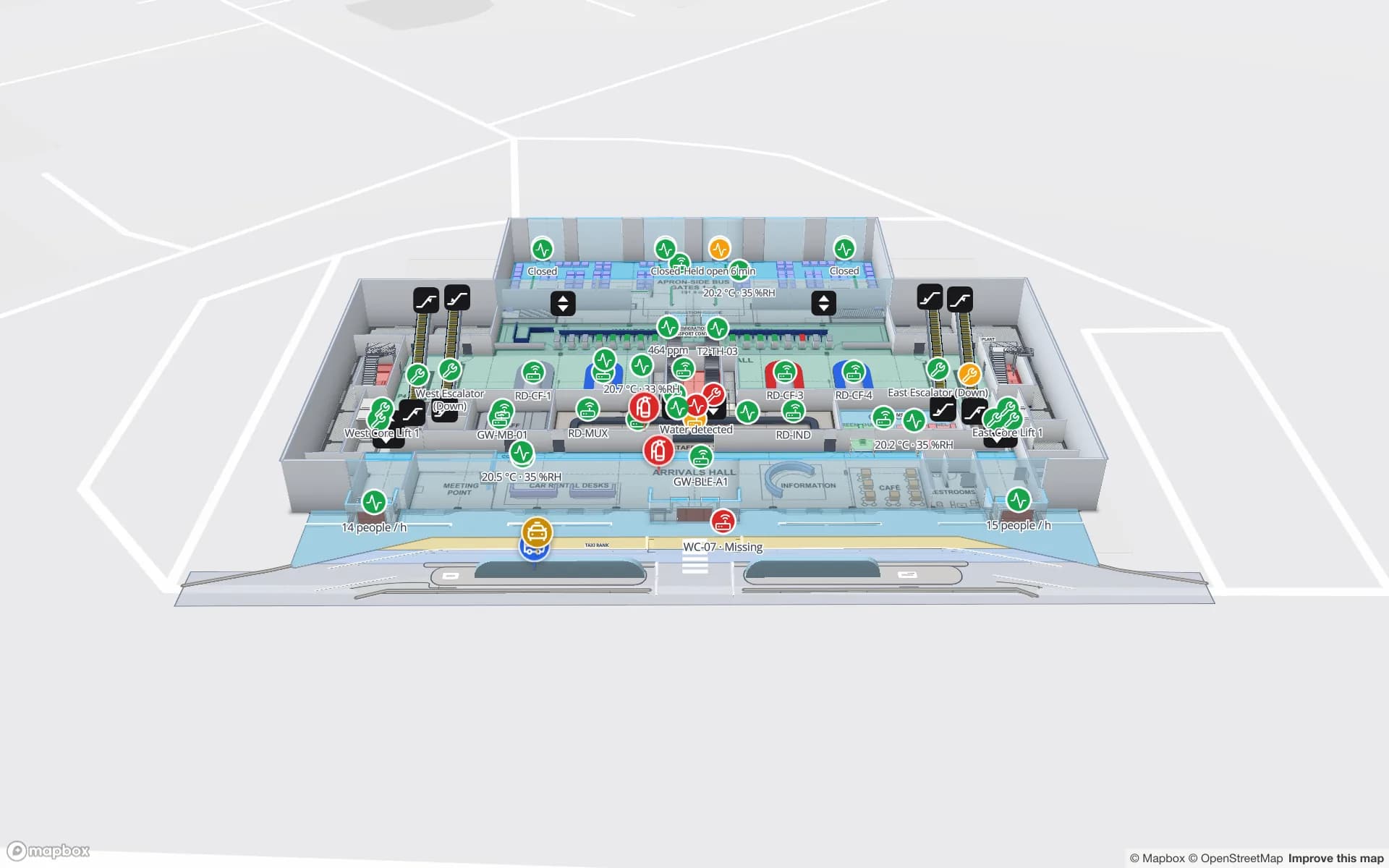
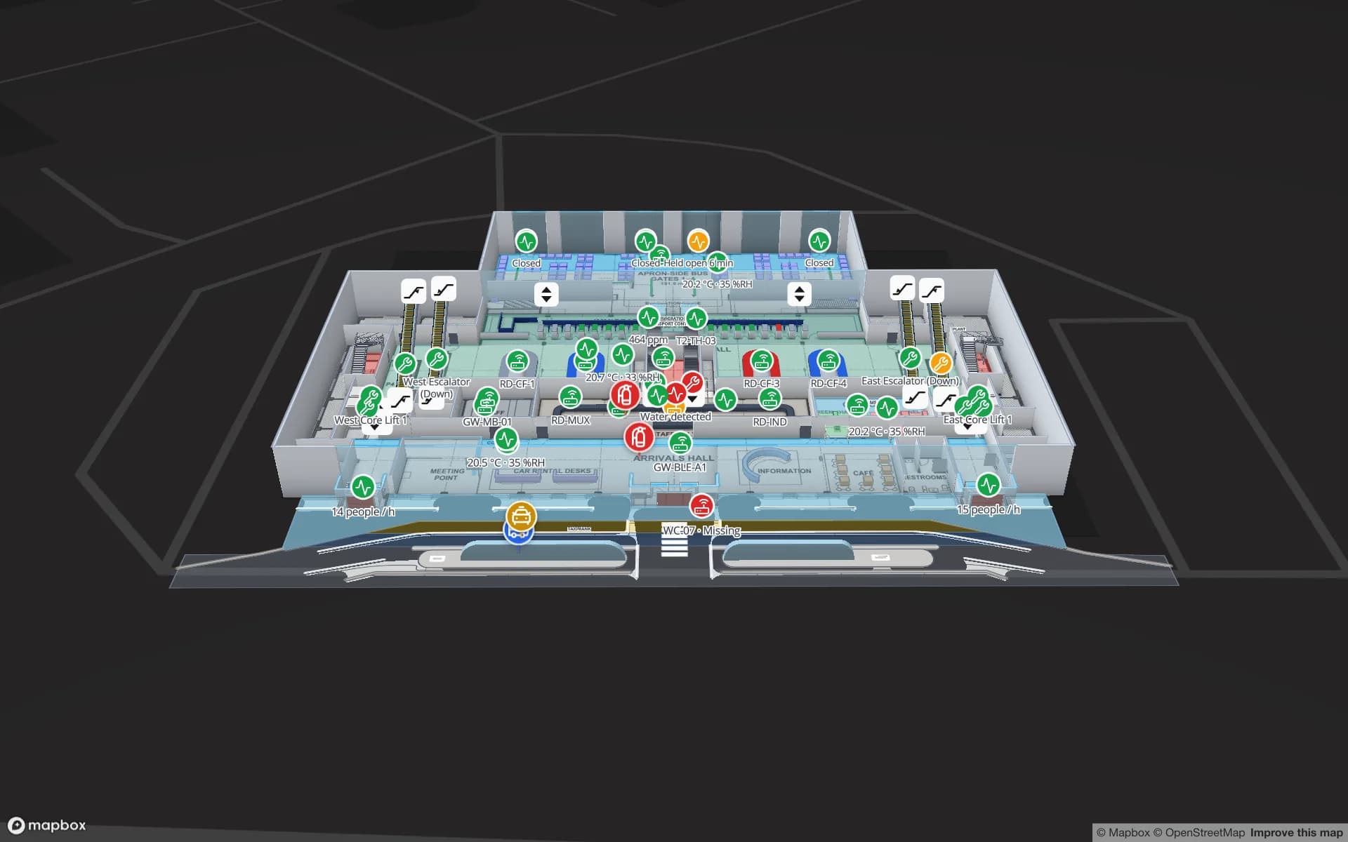
Gates, security and immigration queues, bag tags and loan wheelchairs across a multi-level terminal.

Stadiums and event venues

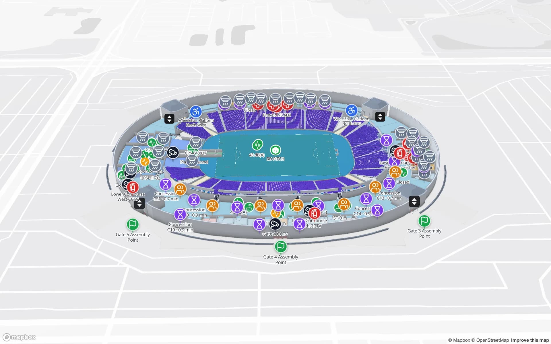
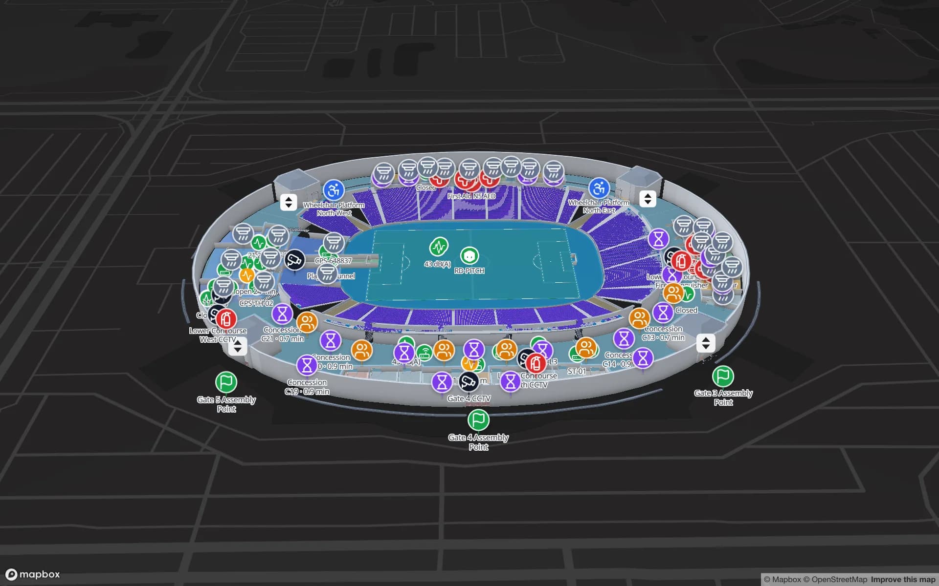
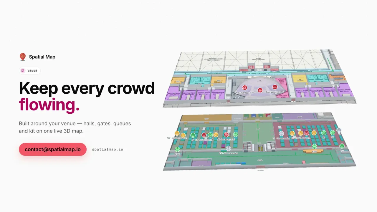
Turnstile scans, crowd counters, concourses and crews on match and event days.

Pharma and food cold stores

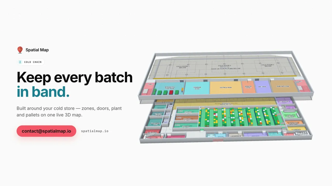
Cold rooms, freezers and held pallets coloured by live temperature.

Free-zone and 3PL warehouses

Rack-level stock, pick-to-light, packing and staging on one map.

Malls and multi-floor retail

RFID at exits, escalators and lifts, shelf stock and fridge sensors.

See it on real demo facilities

Fictional names, real floor plans, live sensors, RFID, BLE tags and gateways — open any of them in the browser.

All 13 demo facilities

Questions from teams across the Middle East

Any of them. Spatial Map is sold online and runs in the browser, so teams in Saudi Arabia, the UAE, Qatar, Kuwait, Bahrain, Oman, Jordan, Lebanon and elsewhere sign up the same way. We have no local offices; our team works with customers remotely and through the contact form.

Yes. Arabic is one of the six interface languages and the whole layout mirrors right-to-left. Each user chooses their language, and your own room, rack and zone names can be written in Arabic.

Yes. Spatial Map is hardware-agnostic. Each site's middleware, RTLS engine or gateway software sends rows to a table or exposes a REST endpoint that Spatial Map polls, so the hardware can differ from site to site.

Keep the facilities in one workspace and group them into named solutions, for example by country or by line of business. Owner, Admin, Editor and Viewer roles control who can change what, and read-only share links give outside parties a view of one facility.

No. Pricing is the same worldwide and in US dollars: a 7-day free trial for up to 5 facilities, then Pro at $60 a month or $600 a year for up to 4 facilities. Larger estates are quoted as fixed-price custom services.

Put your first regional site on a live map.

Start the free trial in Arabic or English, or send us a floor plan from any site in the region and we will show it back to you with your data.