Americas · Canada

Indoor mapping and RFID tracking software for Canada

Canadian supply chains run north–south as much as east–west: trucks to and from the United States every day, containers through Vancouver and Montreal, and distribution centres around Toronto feeding the rest of the country. Spatial Map turns those cross-docks, warehouses and cold stores into live 3D maps in the browser — in English or French — fed by the RFID, sensor and WMS data you already have.

No credit card. Runs in the browser. Pro is $60/month for up to 4 facilities. Book a demo

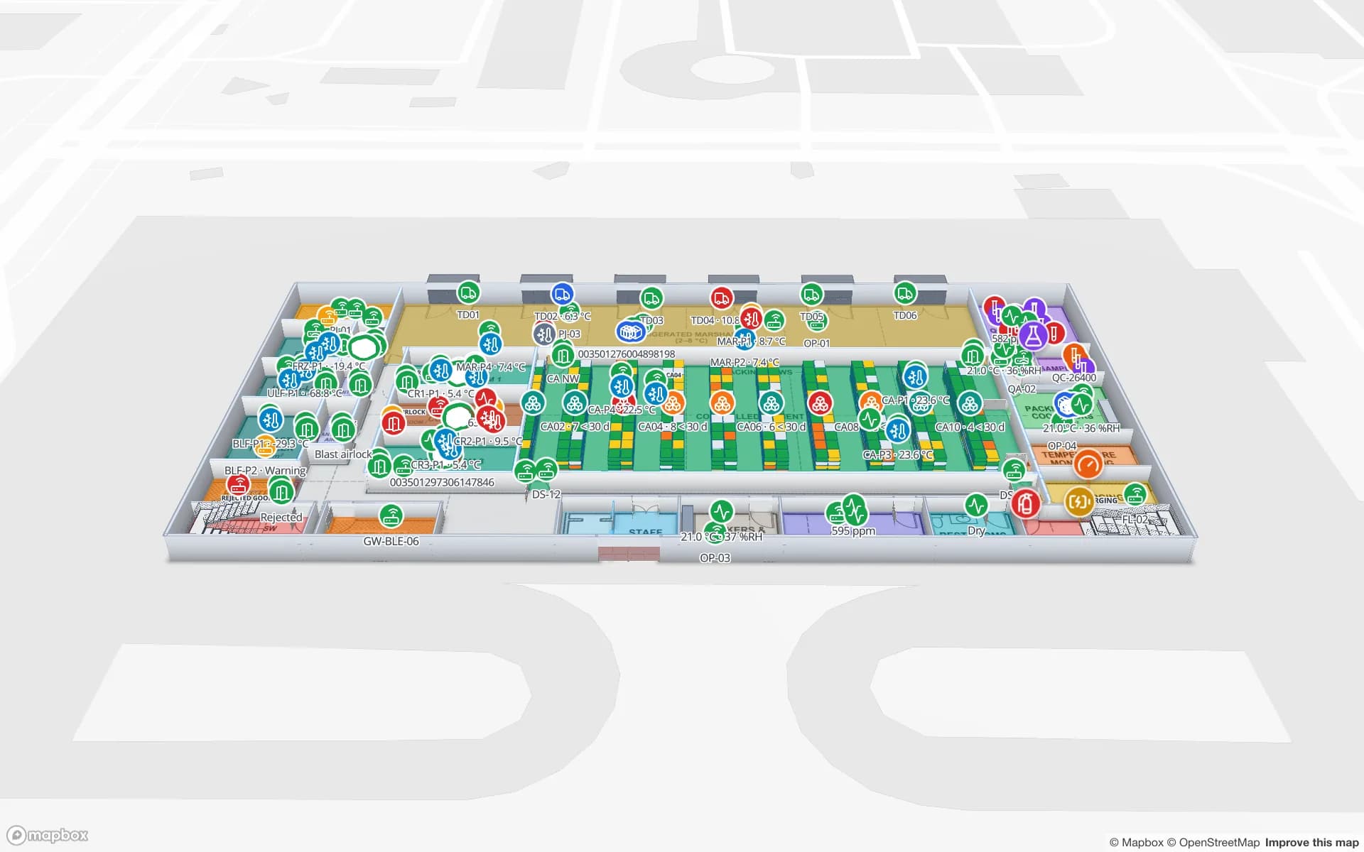
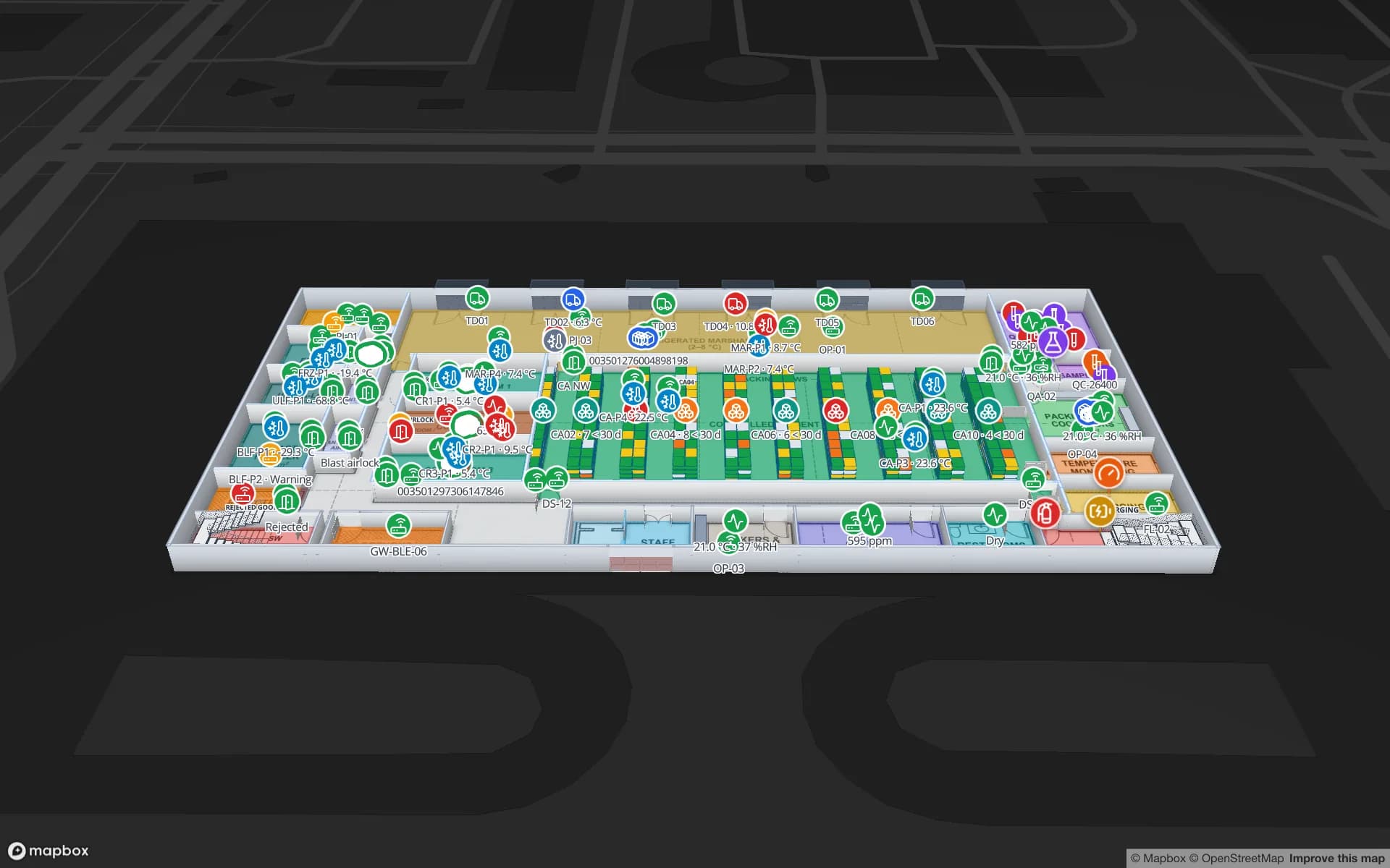
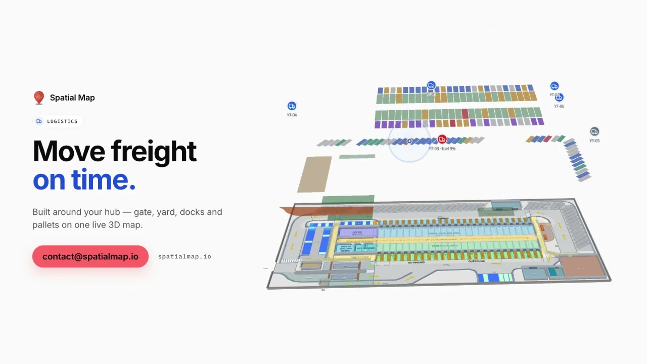
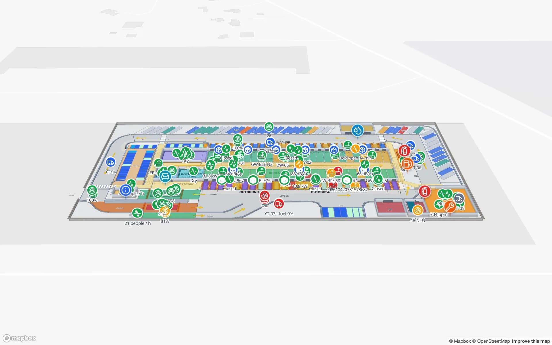
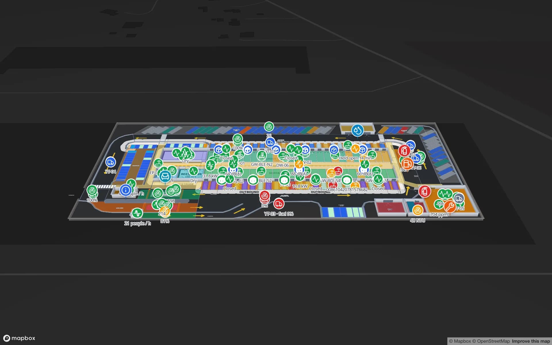
Eastport Cross-Dock Freight Hub, a cross-dock & trailer yard demo, in the Spatial Map 3D viewer with live device markers
Eastport Cross-Dock Freight Hub
Eastport Cross-Dock, a demo freight hub: 50 dock doors, 44 yard slots and 1,180 RFID pallets, with the gate and weighbridge.
English and French interfaces, chosen per user
EN · FR
Dock doors in the Eastport Cross-Dock demo
50
RFID pallets live in the same demo
1,180
Free trial, up to 5 facilities, no credit card
7 days

Cross-border trade with the United States

The United States is by far Canada’s largest trading partner, and much of that trade moves by truck across land crossings such as the Ambassador Bridge between Windsor and Detroit. Cross-docks and transload warehouses on both sides of the border sort freight against customs paperwork, appointment windows and departure times.

Spatial Map puts that sorting on the site plan: dock doors coloured by status, trailers by yard slot, RFID-tagged pallets read at each door and staged in the right lane. In the Eastport Cross-Dock demo, a pallet in the wrong lane and short loads before cut-off are visible in place. Companies that run sites in both countries can keep them in one workspace and group them into solutions; see also our USA page.
Distribution around the Greater Toronto Area

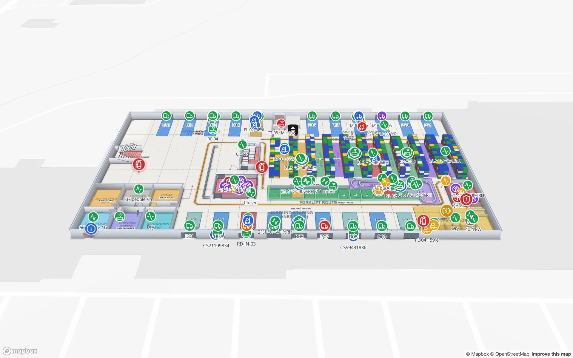
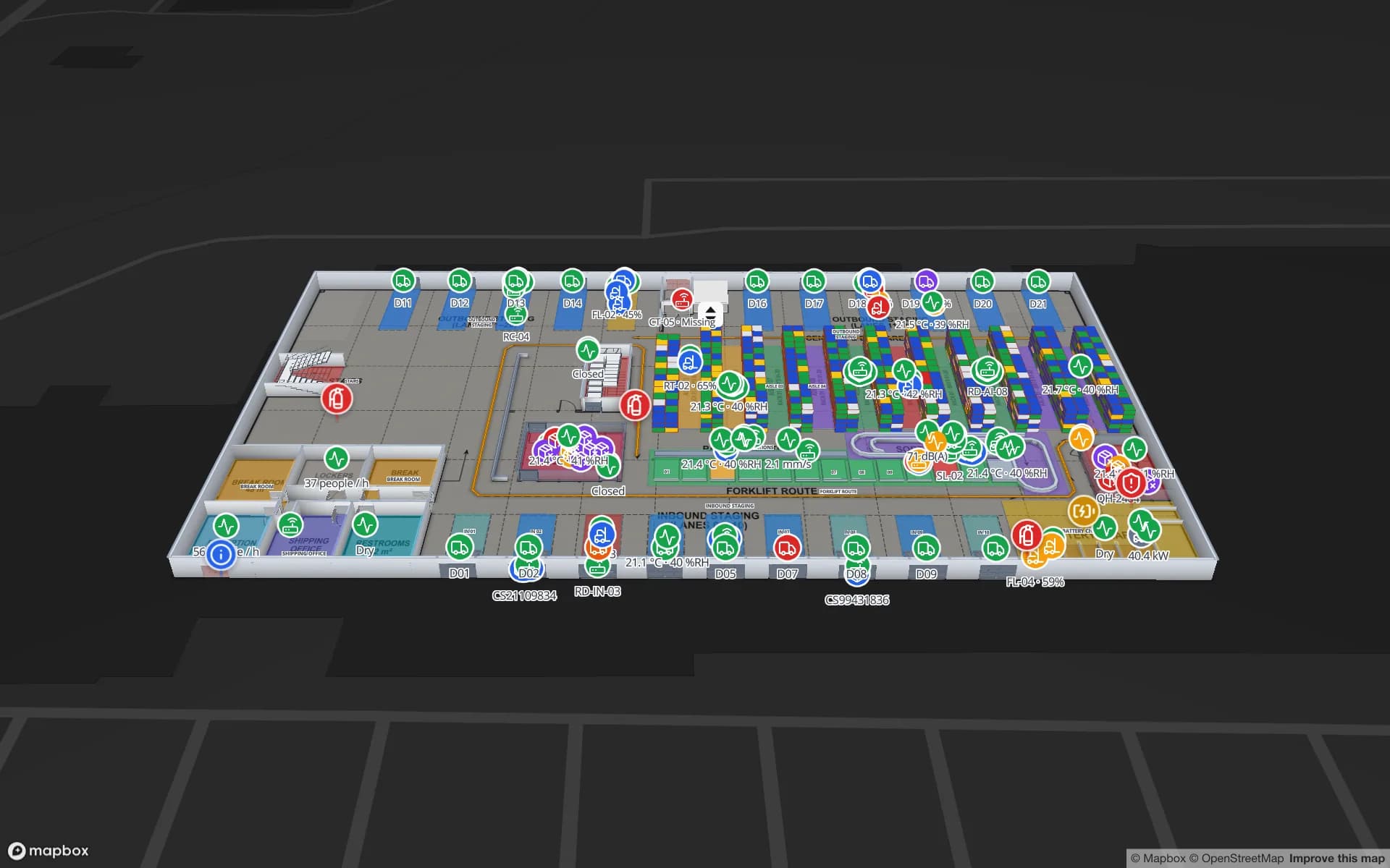
The Greater Toronto Area, and Peel Region in particular, is the country’s largest concentration of distribution centres, serving national retailers, e-commerce and third-party logistics customers along the Highway 401 corridor. Many of these buildings are multi-client, with a WMS that knows the stock and a floor team that still walks the aisles to find it.

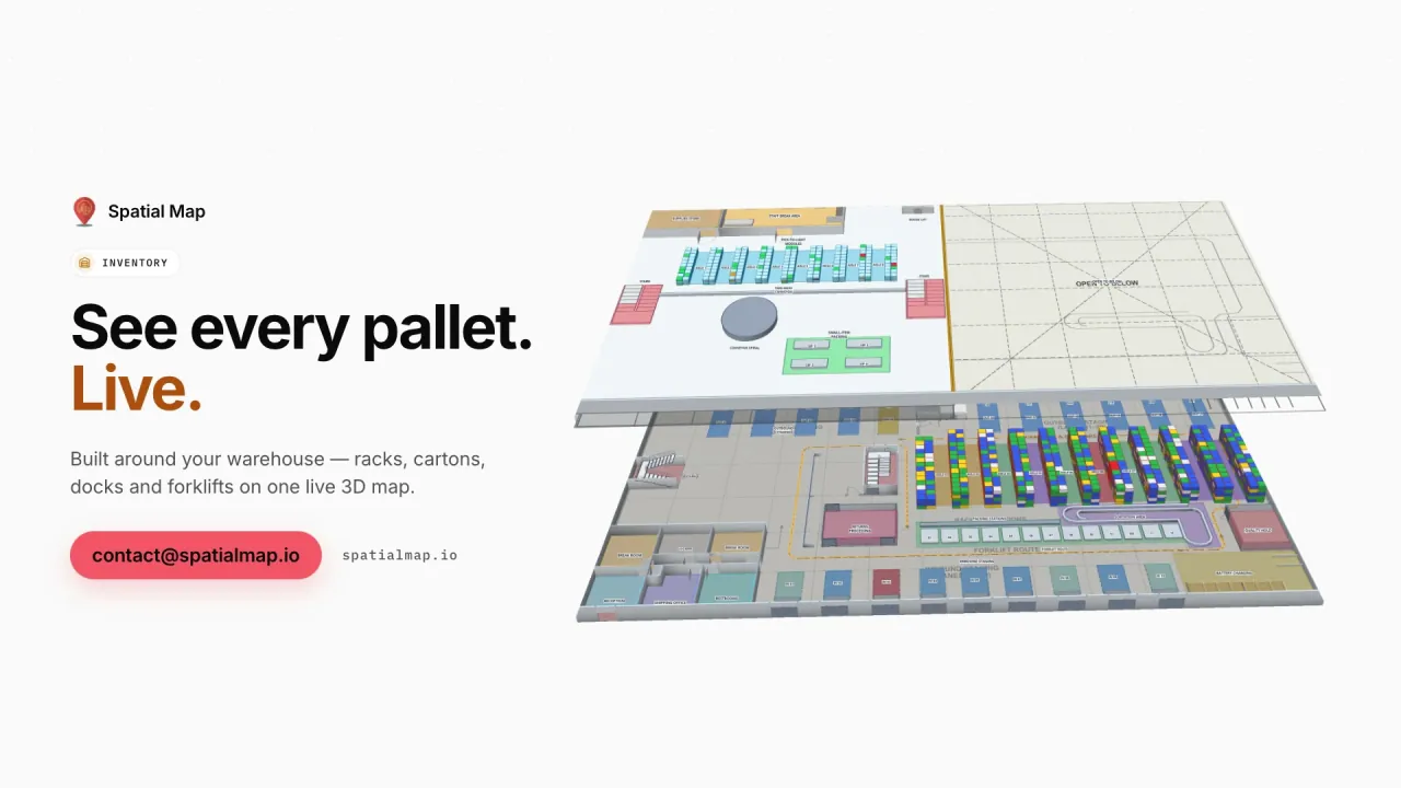
Spatial Map colours each rack location from the WMS stock by bin and shows forklifts and pickers’ equipment as live markers. The Crestline Fulfillment demo has 20 racks and 2,204 rack locations with pick-to-light, packing and a trailer yard. Read-only share links let each client see only the floors and layers you choose, without an account.

Port of Vancouver, Montreal and the inland network

The Port of Vancouver is Canada’s largest port and its main gateway for trade with Asia, while the Port of Montreal serves Atlantic trade with Europe and the markets of Quebec and Ontario. Containers are transloaded into domestic trailers and rail cars at warehouses near both, then moved inland across very long distances.

Because Spatial Map runs in the browser, a team in Calgary or Halifax can open the same live map of a Vancouver transload warehouse as the people on its floor, with history playback for what happened on the night shift.

Winter on the dock

Canadian winters change how a warehouse runs. Dock doors left open cost heat and can expose products that must not freeze — beverages, paints, some chemicals and many pharmaceuticals — while unheated zones, yard trailers and cross-dock floors behave very differently from the rooms around them.

With door sensors and temperature probes reporting through your gateway, Spatial Map shows each door open or closed and colours each zone by its reading, so a supervisor sees at a glance which door has been open too long or which corner of the building is running cold. It shows the state on the map and in reports; it does not send notifications.

Food and pharma cold chain

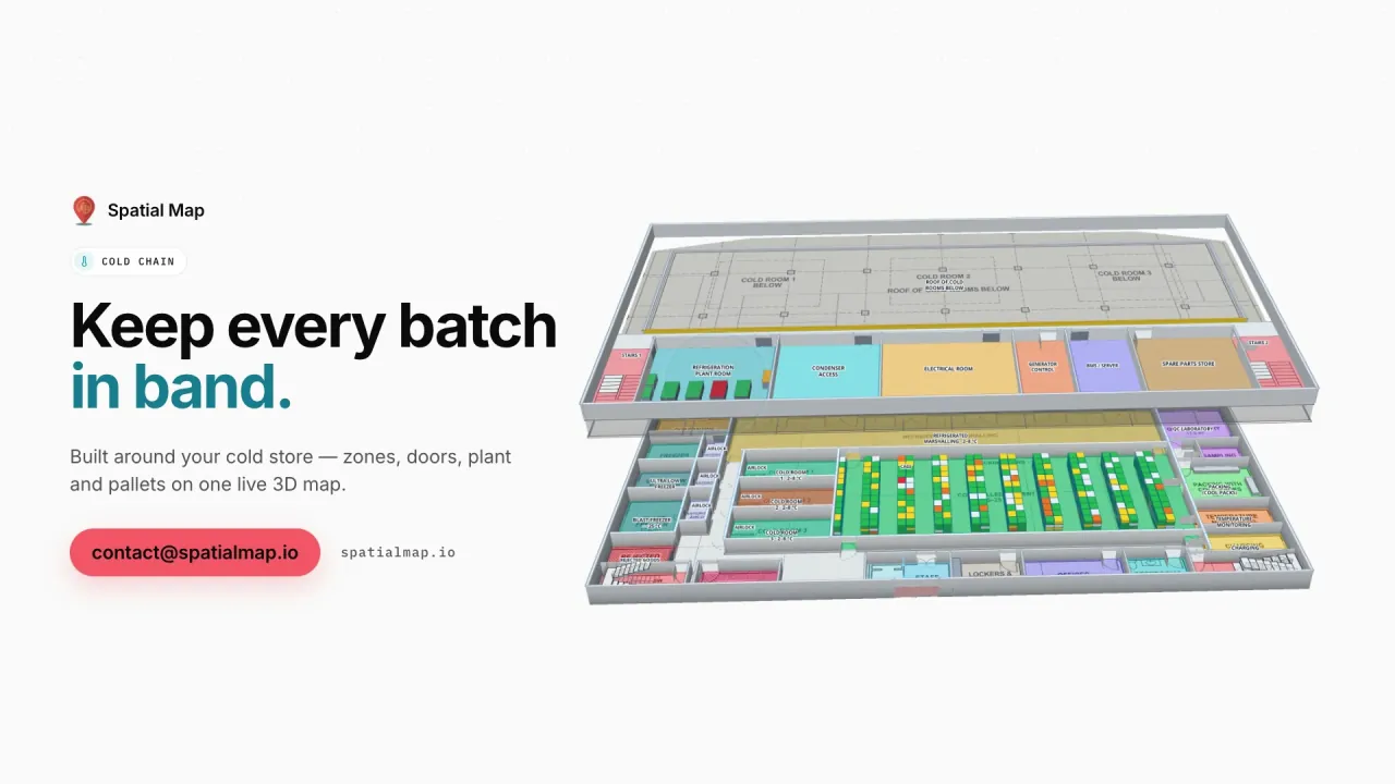
Food businesses work under the Safe Food for Canadians Regulations, and pharmaceutical warehouses under Health Canada’s requirements for storage and distribution. Spatial Map does not make anyone compliant; it makes the physical state of a cold store visible — rooms and freezers coloured by live temperature, doors, held pallets — with a history your QA team can replay and export. The Polar Pharma demo shows cold rooms, freezers and 1,140 rack locations.

Quebec, French and privacy

The app is available in French as well as English, and each user picks their own language, so a team in Laval and a head office in Toronto can work on the same facility. Quebec’s Charter of the French Language sets expectations for French in the workplace, including for the tools employees use; how it applies to your organization is for your advisers to assess. Our services team also works in French — see our French services page.

PIPEDA, and in Quebec its own private-sector privacy law, are the context when location data relates to people. Most projects tag pallets, trailers and equipment rather than staff. A data processing agreement is available and the security page describes how data is protected.

How Spatial Map does it

From site plan to live map

  1. 01

    Import the site plan

    A PDF or DWG (AutoCAD R2004–R2018) of the building and yard, placed at real-world scale.

  2. 02

    Draw docks, racks and zones

    Dock doors, yard slots, staging lanes, racks with their locations and cold rooms.

  3. 03

    Connect WMS, RFID and sensors

    Your systems post rows to a table with the write API, or Spatial Map polls their REST endpoint.

  4. 04

    Run the shift in English or French

    Live map, history playback, reports and read-only links for clients and partners.

What Canadian teams use it for

Cross-border cross-docks

Dock doors, yard slots and pallets staged for the right trailer and border crossing.

GTA distribution centres

Rack-level stock from the WMS, packing and the trailer yard for multi-client sites.

Food and pharma cold stores

Temperature zones, doors and held pallets, with reports for QA.

Port transload warehouses

Containers unpacked, pallets staged and rail or trailer loads followed through the building.

Retail stores across provinces

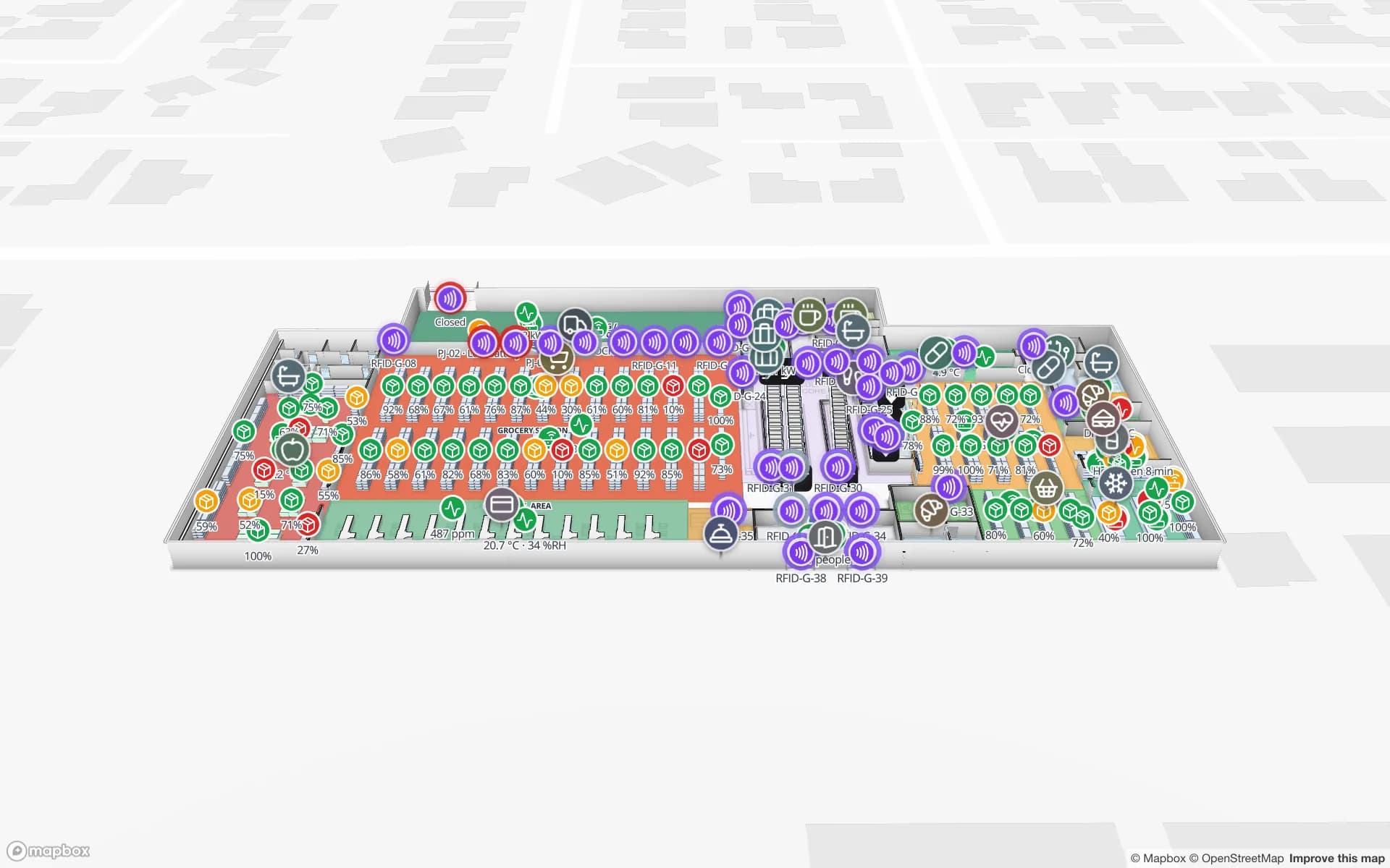
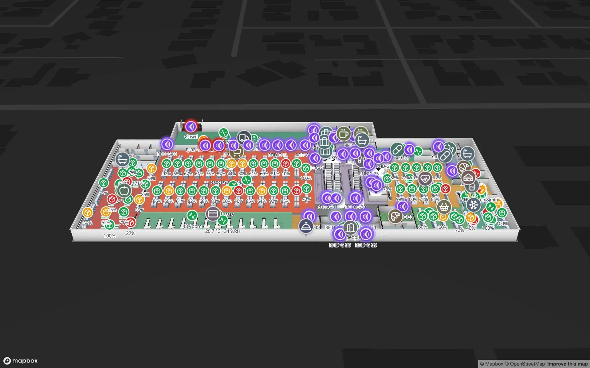
Item-level RFID stock across floors, escalators and lifts.

See it on real demo facilities

Fictional names, real floor plans, live sensors, RFID, BLE tags and gateways — open any of them in the browser.

All 13 demo facilities

Questions from Canadian teams

Yes. The app ships in French alongside English, Spanish, German, Arabic and Chinese, and each user picks their own language. Our services team also works in French. Whether that meets your obligations under Quebec’s language rules is for your advisers to assess.

Yes. A workspace can hold facilities in both countries, grouped into named solutions, with Owner, Admin, Editor and Viewer roles controlling who sees what.

No. Those are context for your project. Spatial Map shows live data on the map and in reports; your privacy program, quality system and records remain the record. A data processing agreement is available.

No. Spatial Map is sold online and our team works with customers remotely, by video call and through the contact form, in English or French.

The same worldwide, in US dollars: a 7-day free trial for up to 5 facilities with no credit card, then Pro at $60 a month or $600 a year for up to 4 facilities. Larger networks are quoted as custom services.

Map your first Canadian site this week.

Start the free trial in English or French, or send us a site plan and a sample of your WMS or RFID data through the contact form.