Platform · 3D indoor maps

3D indoor map: every floor, wall, rack and lift, in the browser

Spatial Map builds a 3D indoor map of your building in the browser. Walls, rooms and racks rise from your floor plans, stairs, lifts and escalators join the floors, and 3D models, signs and labels sit where they belong. It needs no laser scanner and no install, runs on Mapbox GL, and live data from your systems lands on the 3D shapes.

Last updated:

No credit card. Runs in the browser. Pro is $60/month for up to 4 facilities. Book a demo

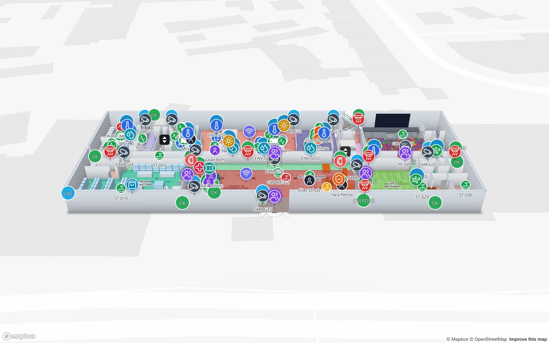
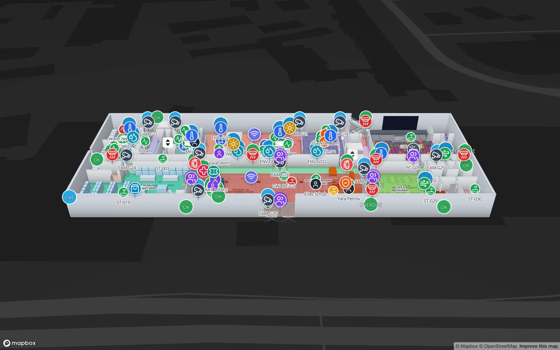
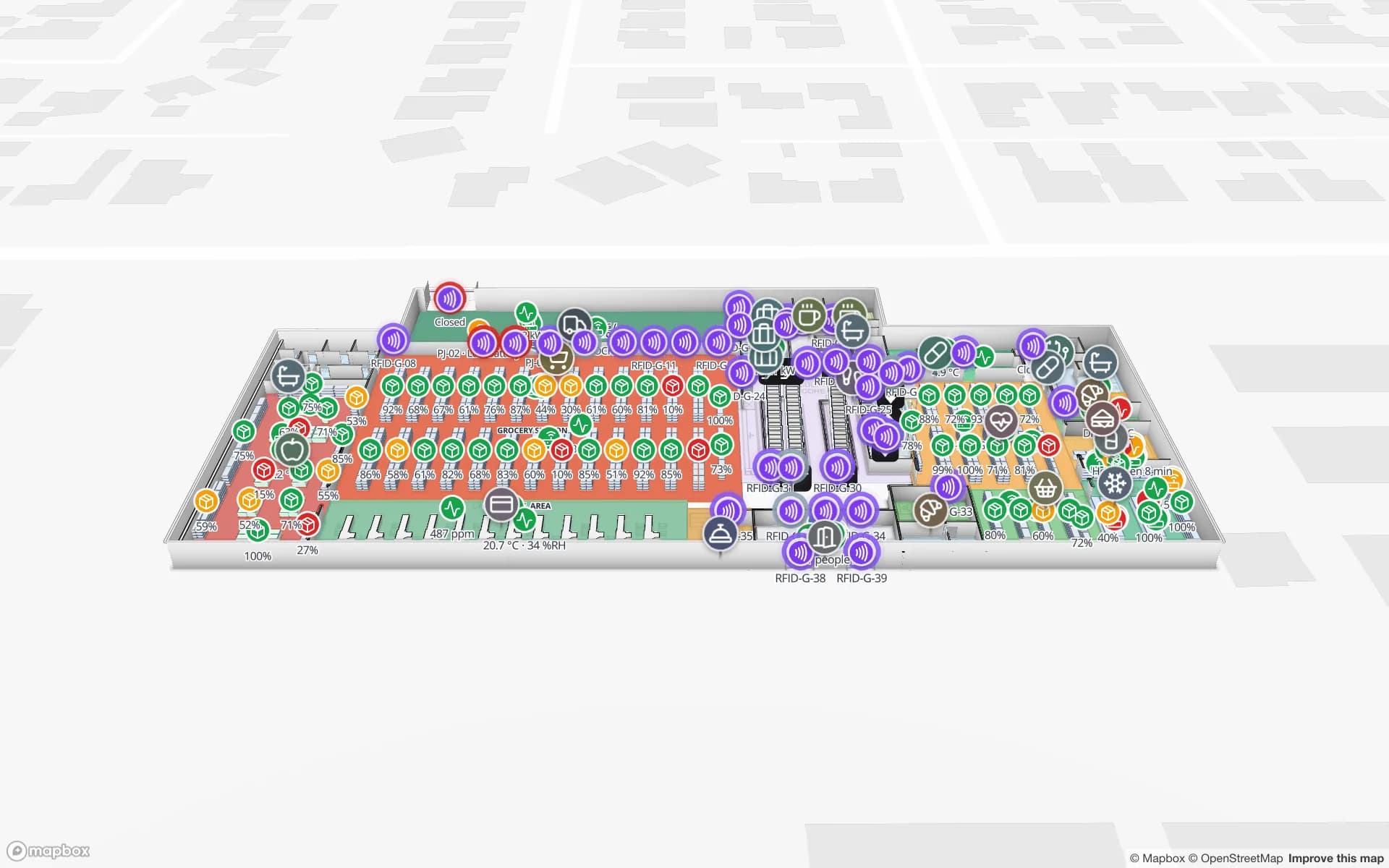
Retail Mart Store, a three-floor retail store demo, in the Spatial Map 3D viewer with live device markers
Retail Mart Store
Retail Mart (demo): three floors stacked in 3D, joined by escalators and a lift, with RFID readers at every door.
Floors in the Retail Mart demo, stacked in 3D
3
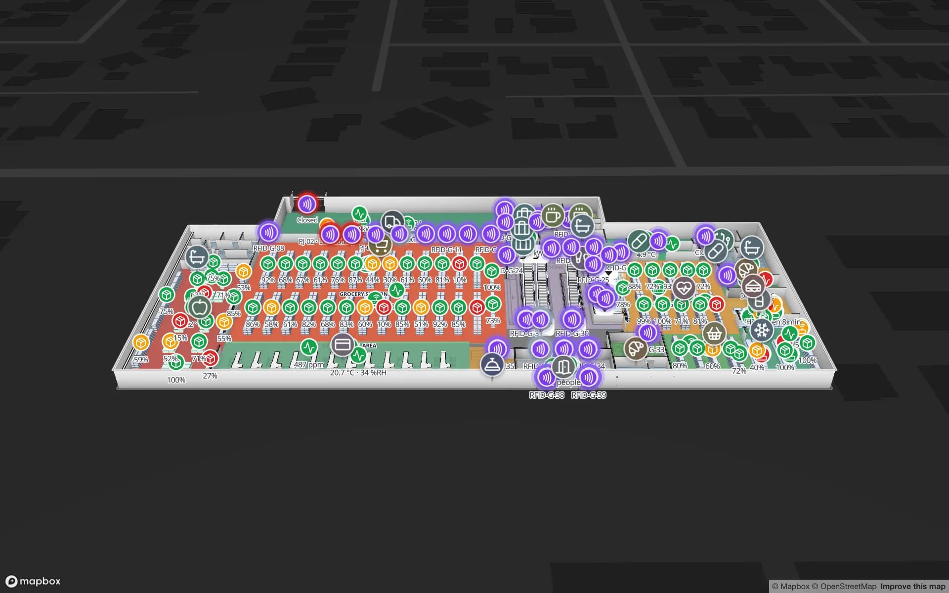
Map styles, from Light to Dusk
8
Scanners or installs needed
0
Free trial, no credit card
7 days

What goes into the 3D map

Every element is a named shape drawn over the floor plan, not a mesh from a scan:

  • Walls and rooms — extruded to their height; rooms and zones are areas with a name and a height.
  • Racks with levels — a grid of cells per rack, stacked into levels with their own level height and gap, each cell a bin your data can match.
  • Stairs — straight, L-shaped or U-shaped, with every step a real solid.
  • Lifts and escalators — built as 3D models from two clicks, linked to the floors they serve, with an out-of-service status.
  • Doors — set on their walls, so routes and data both know where the openings are.
  • 3D models — GLB files from the built-in library or your own uploads: trucks, machines, counters, a building shell that fades as you zoom in.
  • Image planes and text labels — signs, posters and logos standing in 3D; labels that lie on the map or face the camera.
Floors, stacked and switchable

Each floor is its own floor plan at its own elevation. In the viewer, the floor switcher lists every level (L1, L2, …); tick one, several, or All floors. A share link can lock guests to one floor or let them switch freely. Lifts and escalators show on every floor they connect, and walking routes cross floors through stairs, lifts and escalators, with Fastest and Step-free options. See Floors in the viewer and Lifts & escalators.

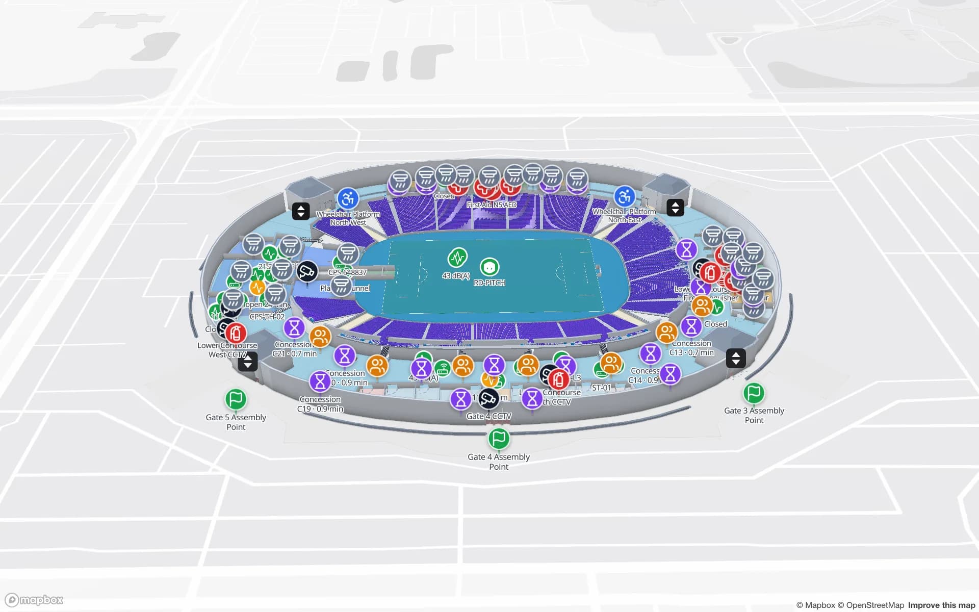
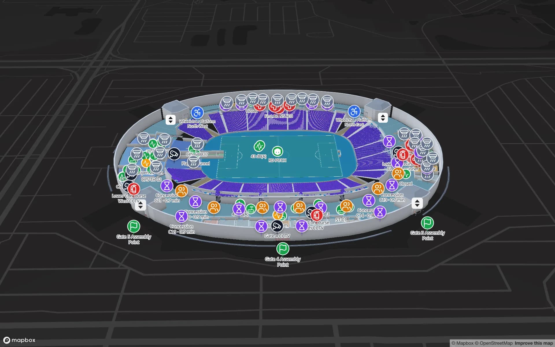
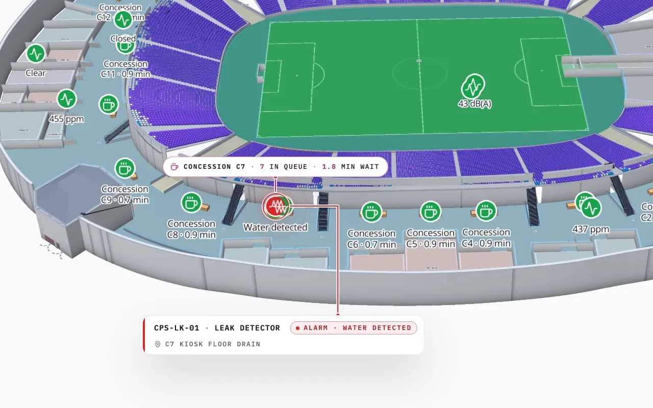
Crown Park Stadium in 3D: the camera pushes in on the lower concourse, with a leak detector reading under kiosk C7, a CO₂ sensor and a queue count shown on the map
Crown Park Stadium
Crown Park Stadium (demo): the lower concourse in 3D, with a leak detector under a kiosk, a CO₂ sensor and queue counts on the bowl.

Light, depth and markers that stay where they are

Shapes are lit in 3D, and two optional settings add depth for walk-throughs and screenshots: 3D shadows cast by walls, racks and models, and ambient occlusion along corners and bases. Eight map styles run from Light to Dusk.

When the map is tilted, text labels, door and rack labels and data points behind solid geometry are hidden, so a sensor behind a wall or on the floor below does not float in front of it. The marker occlusion post explains how.

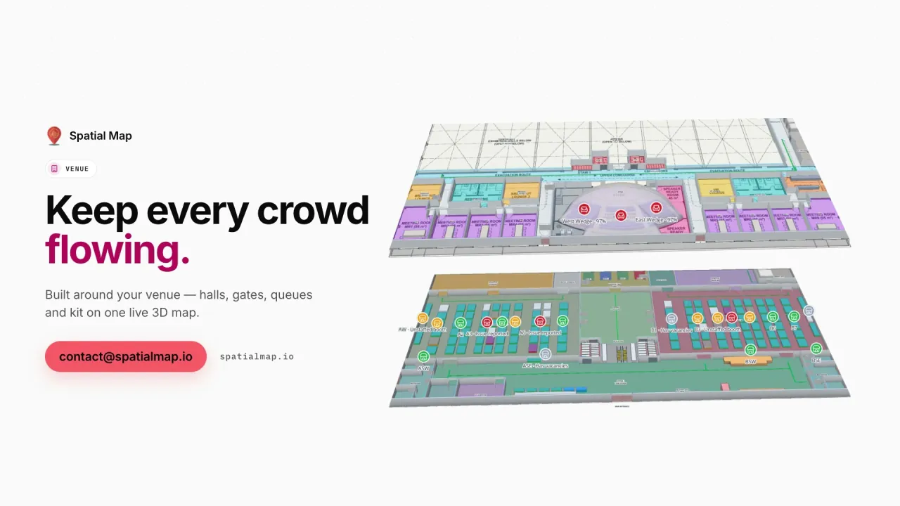
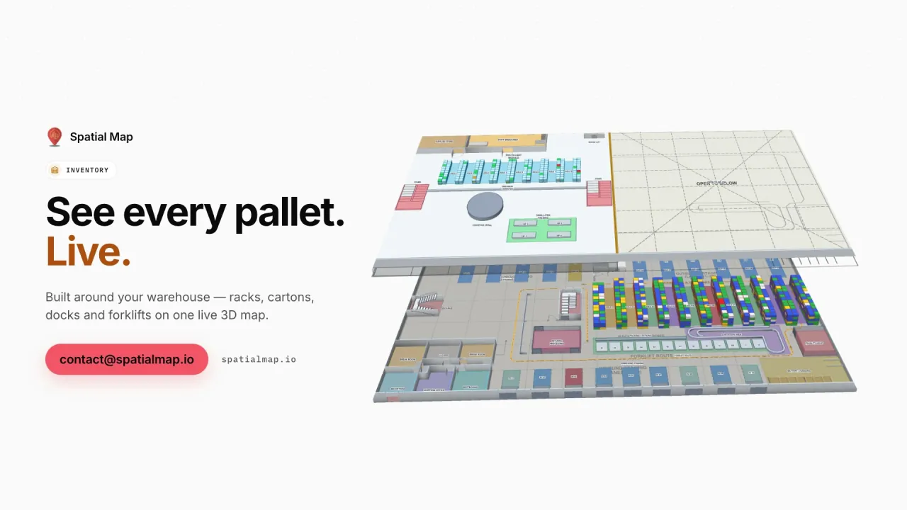
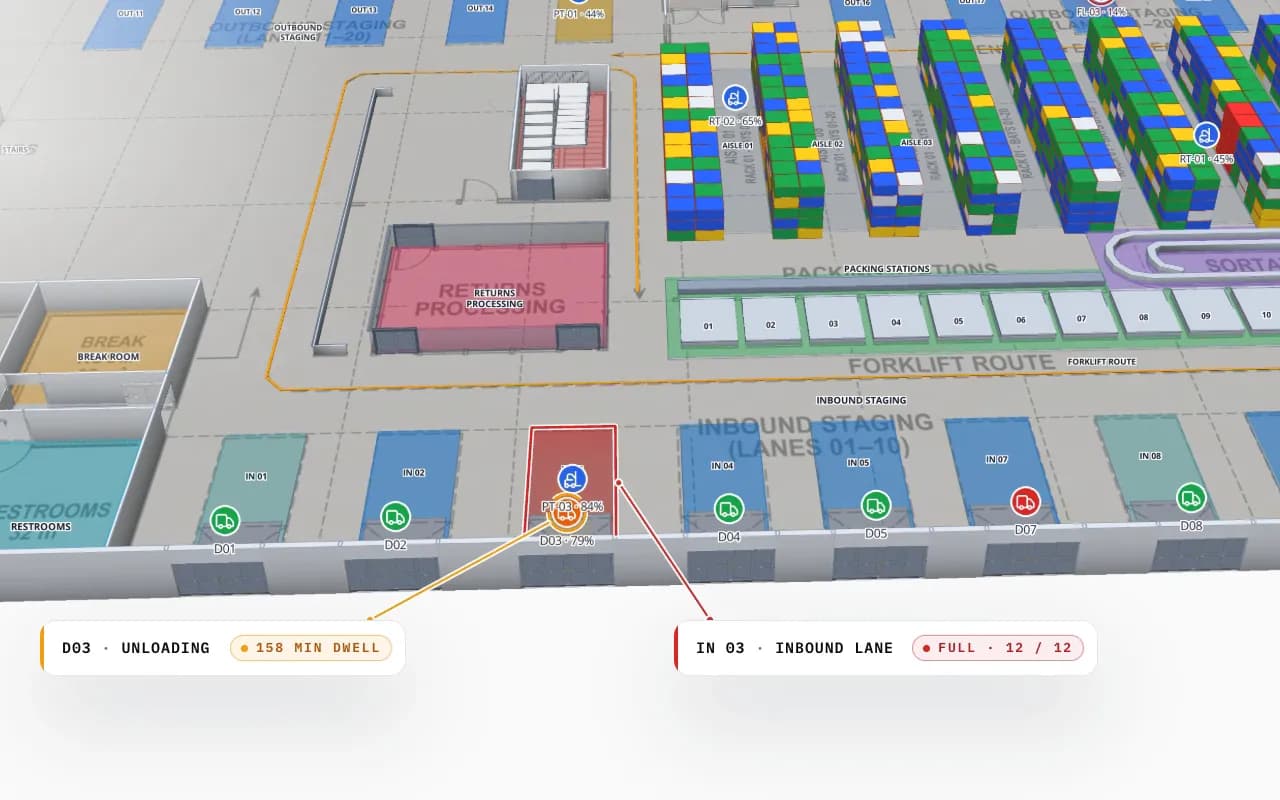
Crestline Fulfillment Center dock doors in 3D: door D03 unloading with a long dwell time and inbound lane IN 03 full, next to the rack area
Crestline Fulfillment Center
Crestline Fulfillment Center (demo): dock doors, inbound lanes and racks in 3D, with a long dock dwell and a full lane flagged.

Built on Mapbox GL, in any modern browser

The map renders with Mapbox GL in the browser, on the real basemap at the building’s real coordinates. There is nothing to install: editors build the map in the browser, and the read-only viewer and share links open on desktops, tablets and phones. Because it is built from floor plans, nobody has to walk the building with a LiDAR scanner first.

The same editor and viewer are also published as an MIT-licensed, self-hosted edition — see the 3D indoor map, open source page for the Docker quick start.

What this 3D map is not

It is not a reality-capture scan. A scan records how a space looks, surface by surface; Spatial Map models where things are and what state they are in, with simple, named shapes. If you need a photoreal walk-through, a scanning tool is the better fit, and the two can live side by side — see Matterport vs Spatial Map.

It is not a CAD or BIM model either. Walls are extruded shapes, not wall types with layers, and IFC files are not imported. The model is deliberately light, so operations staff can change it in the browser the day a rack moves. Indoor map vs BIM sets out the differences.

3D indoor map vs scan vs BIM model

Reality-capture scanCAD / BIM modelSpatial Map 3D indoor map
How it is madeScanned on site with a camera or LiDARModelled by designers in CAD or BIM toolsDrawn over floor plans in the browser
What it shows bestHow the space looksHow the building is designed and builtWhere things are, and their live state
Live data on its shapesNot its main jobNot its main jobYes — tables bound to shapes
Who keeps it currentRe-scan when the space changesCAD or BIM specialistsOperations staff, in the browser
How Spatial Map does it

A 3D indoor map in four steps

  1. 01

    Import the floor plans

    A PDF, DWG or image per floor, at real scale, pinned to the site. See floor plan to indoor map.

  2. 02

    Draw or draft the shapes

    Let AI Map draft walls, doors and racks, then draw the rest with the editor’s tools.

  3. 03

    Add the 3D details

    Heights, rack levels, floor elevations, stairs, lifts, models and signs.

  4. 04

    Share the viewer

    Open the 3D viewer, or send a read-only share link with the floors and layers you choose.

3D maps in the demo workspace

Multi-floor store

Three floors, escalators and a lift, RFID readers at every door.

Fulfillment center

Racks in 3D with every location coloured by stock status.

Stadium

Bowl, concourses and kiosks on two levels, with sensors and counts.

See it on real demo facilities

Fictional names, real floor plans, live sensors, RFID, BLE tags and gateways — open any of them in the browser.

All 13 demo facilities

3D indoor map — frequently asked questions

No. The 3D map is built from 2D floor plans (PDF, DWG or image) by giving walls, rooms and racks a height and stacking the floors by elevation. Nobody has to scan the building.

Yes. Upload a .glb file, or a .gltf that has everything in one file, and place it on the map. You can recolour its materials, hide parts and mark it as the building shell that fades as you zoom in.

Yes, in the browser. The read-only viewer and share links open in a mobile browser with no app and no account. There is no separate mobile app.

As many as you import. Each floor plan sits at its own elevation, and the viewer’s floor switcher shows one, several or all of them.

No. Spatial Map works from floor plans and places GLB models where you want them. BIM stays the design record; the indoor map is the operations view.

Yes. The same editor and 3D viewer are on GitHub under the MIT licence and run on your own server with Docker. See open source.

A 7-day free trial covers up to 5 facilities with no credit card. Pro is $60 a month or $600 a year for up to 4 facilities. Done-for-you mapping and integrations are quoted as custom services.

See your building in 3D this week.

Start a free trial and open the Retail Mart demo, or send us your floor plans and we will build the 3D map for you.