
 Deep-dive9 min read
What is indoor mapping? A practical guide (2026)
Indoor mapping turns a building’s floor plans into a structured, multi-floor digital map. This guide explains how indoor maps are made, how they become digital twins, and how to choose software.
indoor mappingindoor maps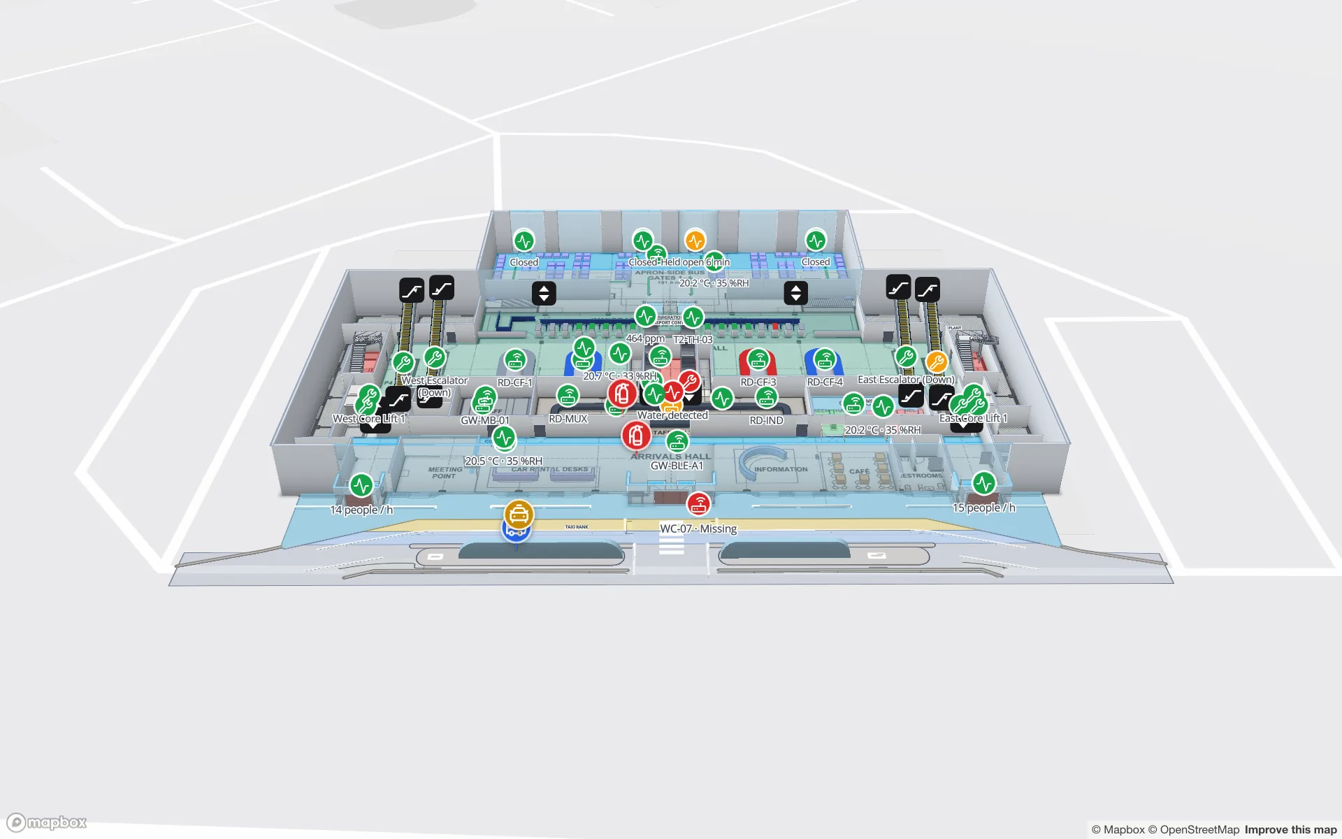
 Use case9 min read
Airport terminal operations on a live map: RFID bag tags, queues and gates
A terminal runs on hand-offs: from check-in to screening, from the gate to the carousel. Each hand-off happens in a place, so each one belongs on a map. Here is how our Silverbay Terminal 2 demo puts bag tags, queues, gates and crowding on one live two-floor view.
airportbaggage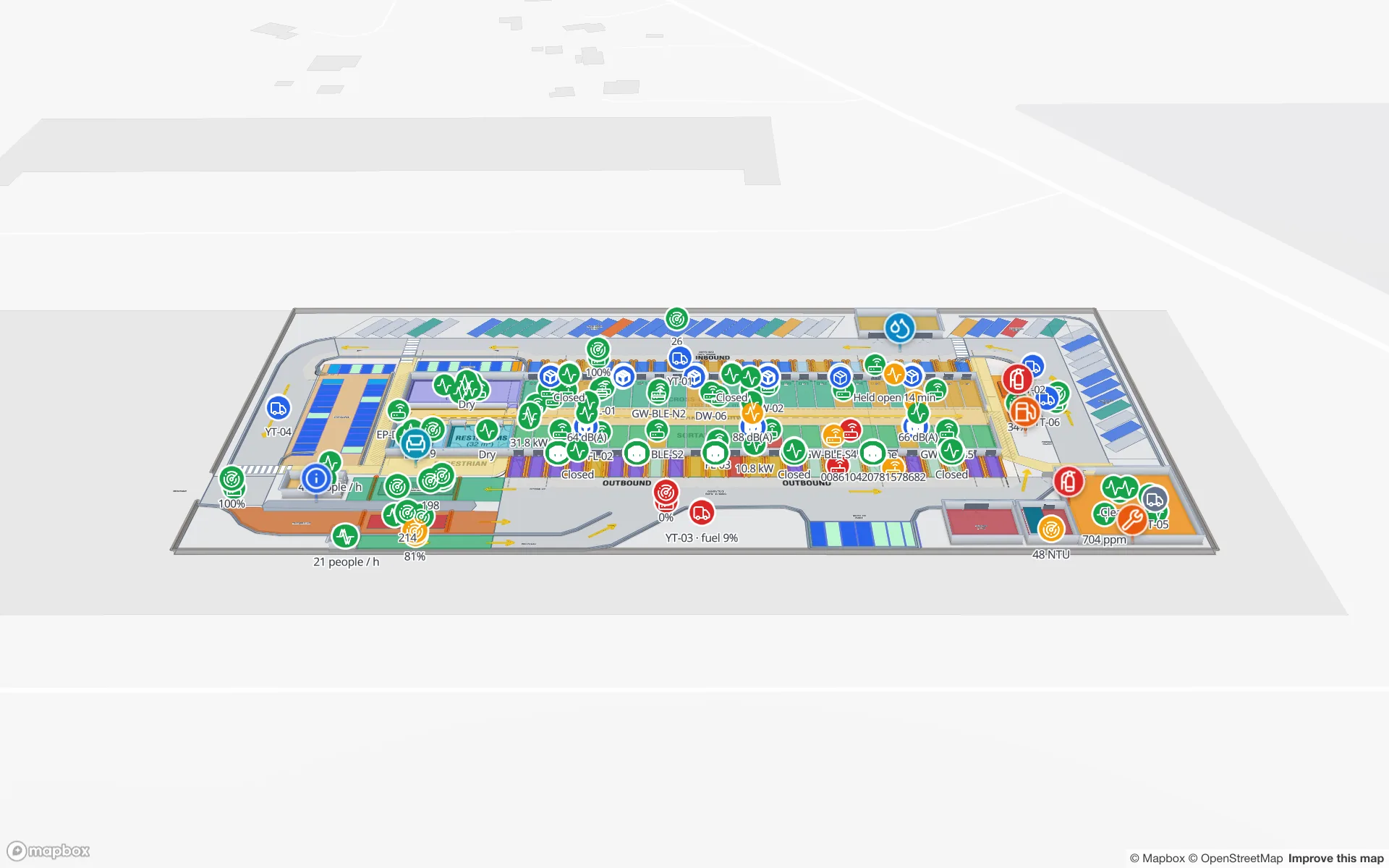
 Use case10 min read
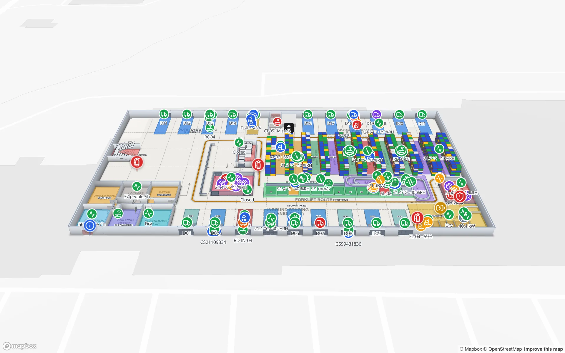
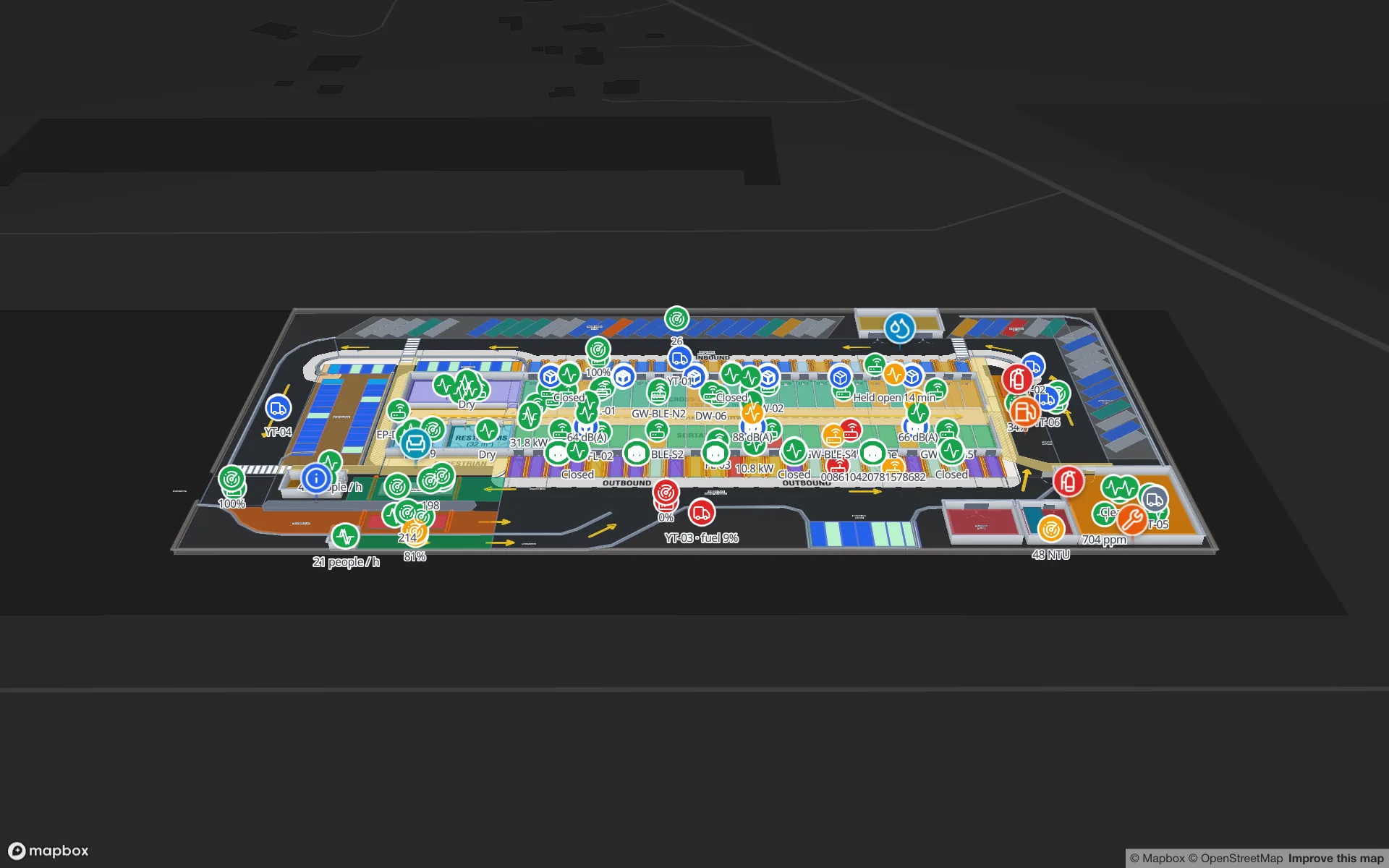
Cross-dock and yard visibility on a live map: dock doors, trailers and gates
A cross-dock runs on timing: which door is turning, which trailer has sat in the yard too long, which gate lane is backing up. Putting the building and the yard on one live map makes those answers visible at a glance. Here is how, using our Eastport Cross-Dock Freight Hub demo.
cross-dockyard management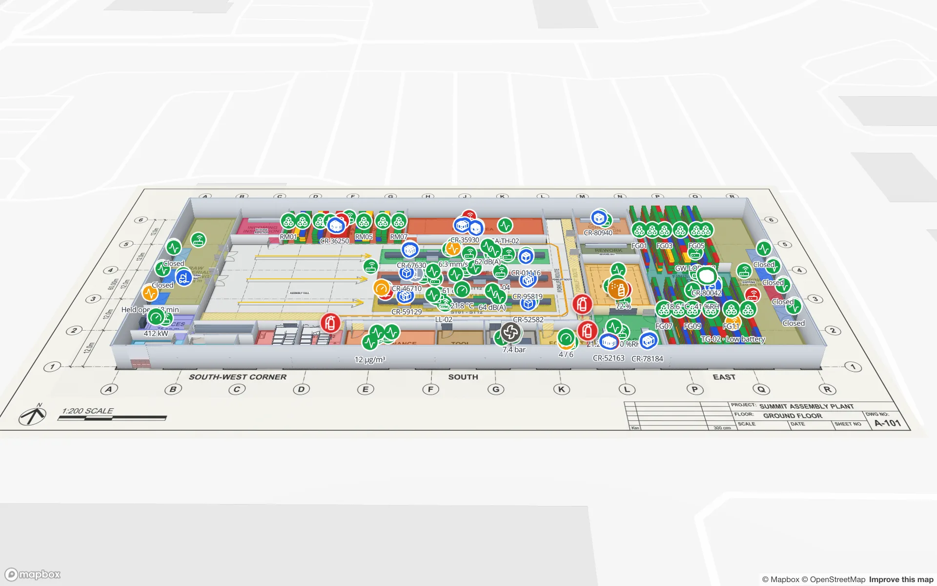
 Industry10 min read
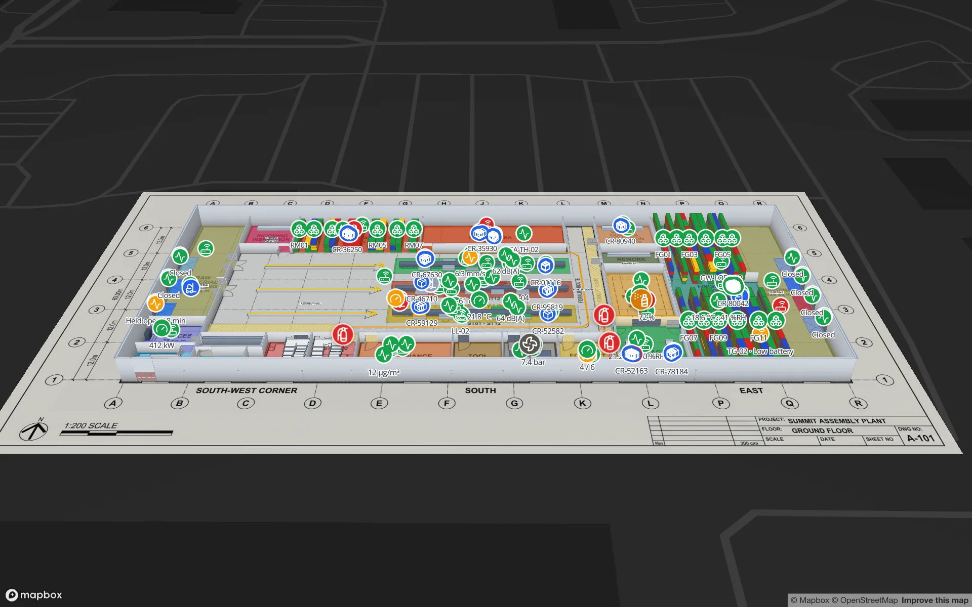
Supply-chain visibility inside the plant: lines, WIP, racks and docks on one live map
Supply-chain dashboards follow the truck to the dock door, then go blind inside the plant. A live indoor map of lines, stations, racks and docks closes that gap. Here is how to build one, using our Summit Assembly Plant demo as the worked example.
manufacturingsupply chain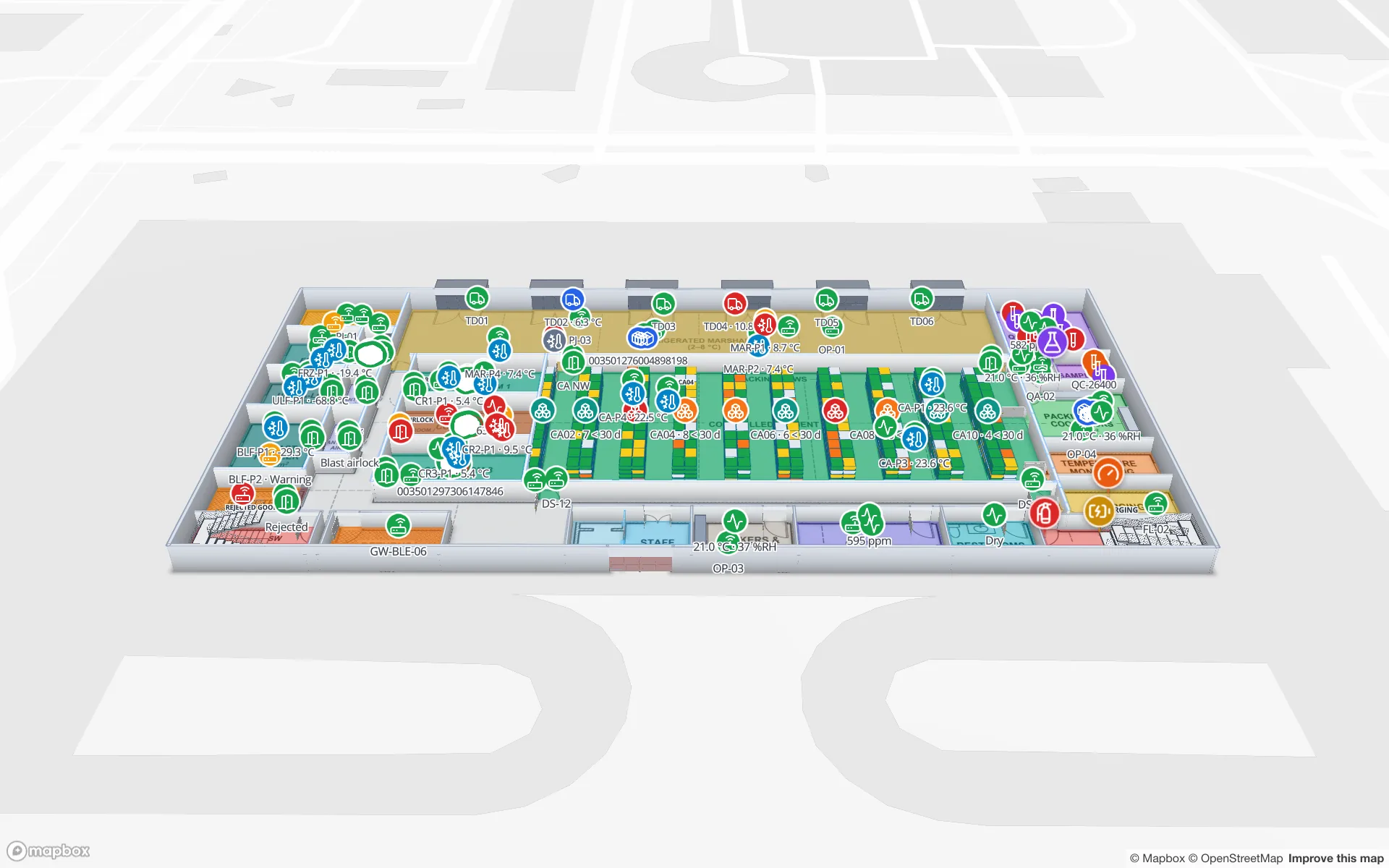
 Use case10 min read
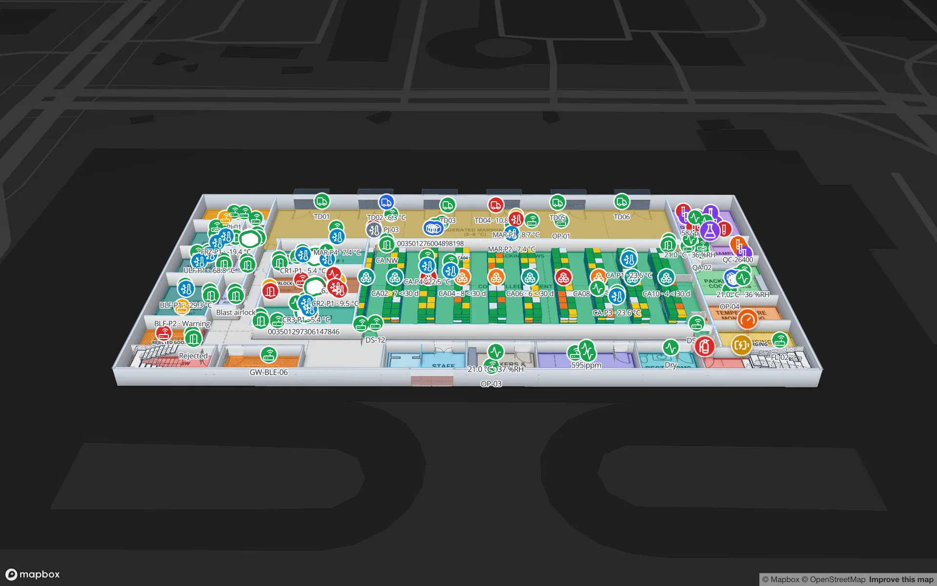
Pharma cold storage and QC on one live map: zones, excursions, holds
A probe ID, a door number and a sample ID only become actionable once you can see which room, dock or rack they belong to. Here is how a pharmaceutical cold store and QC area run on one live map, using our two-floor Polar Pharma demo as the worked example.
cold chainpharmaceutical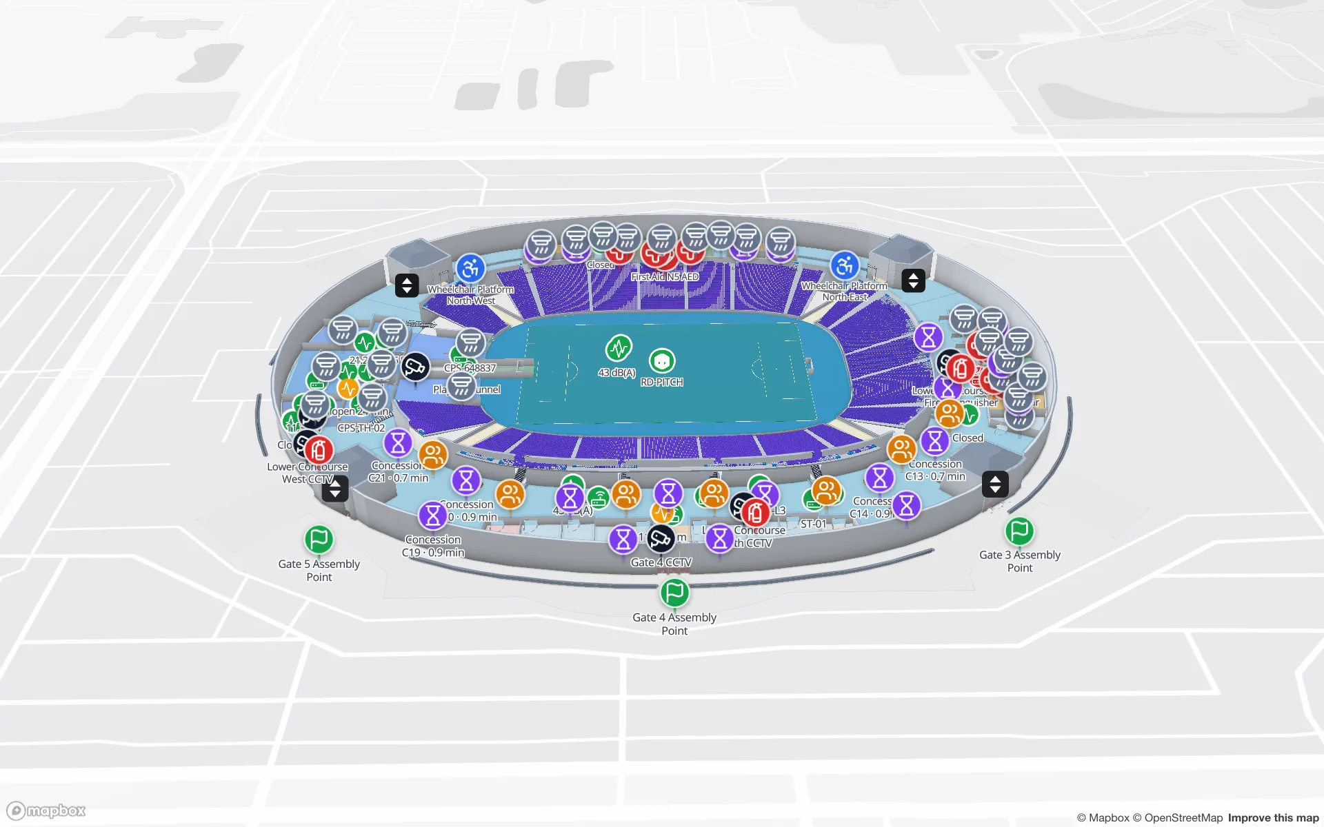
 Industry10 min read
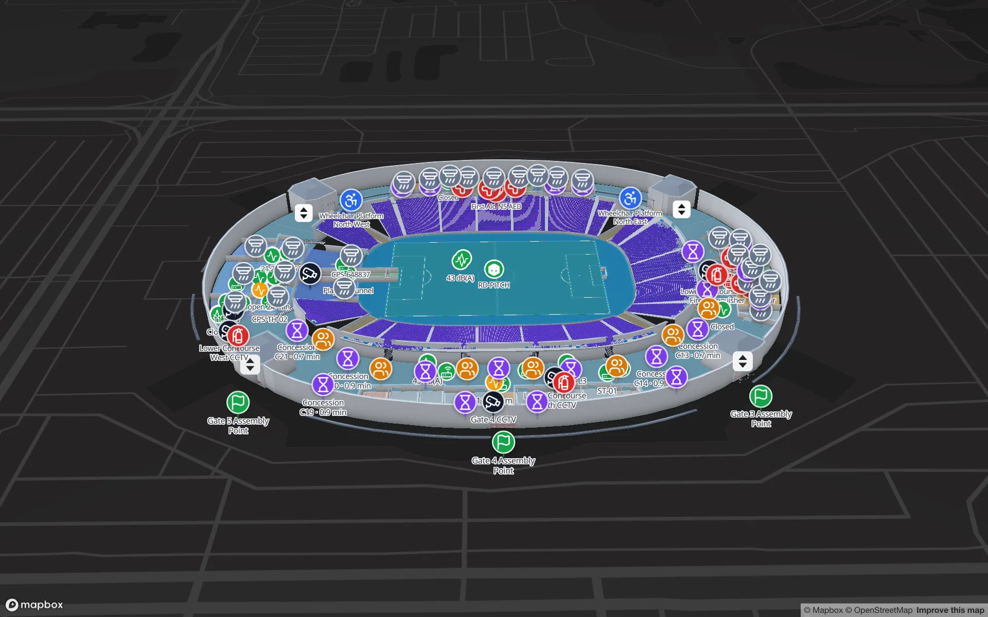
Stadium and venue operations on a live 3D map: gates, seats, concourses and crews
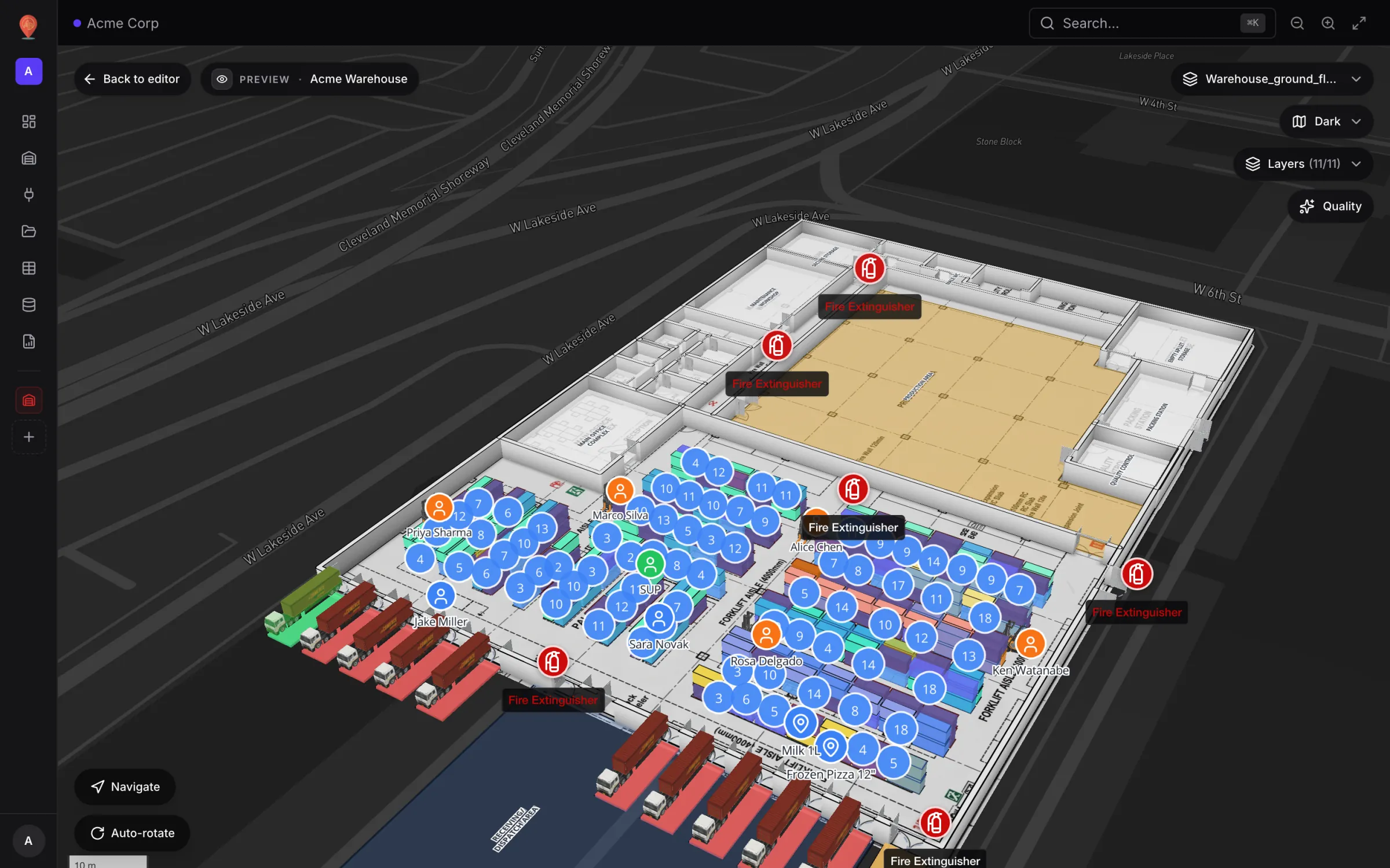
On match day, gates, stewards, concessions and guest services each watch a different screen. A live 3D map of the bowl and concourses is where they agree on location. Here is how our Crown Park Stadium demo is built — 30,513 seats included — and how Lakeside Convention Center uses the same tools for events.
stadiumvenue operations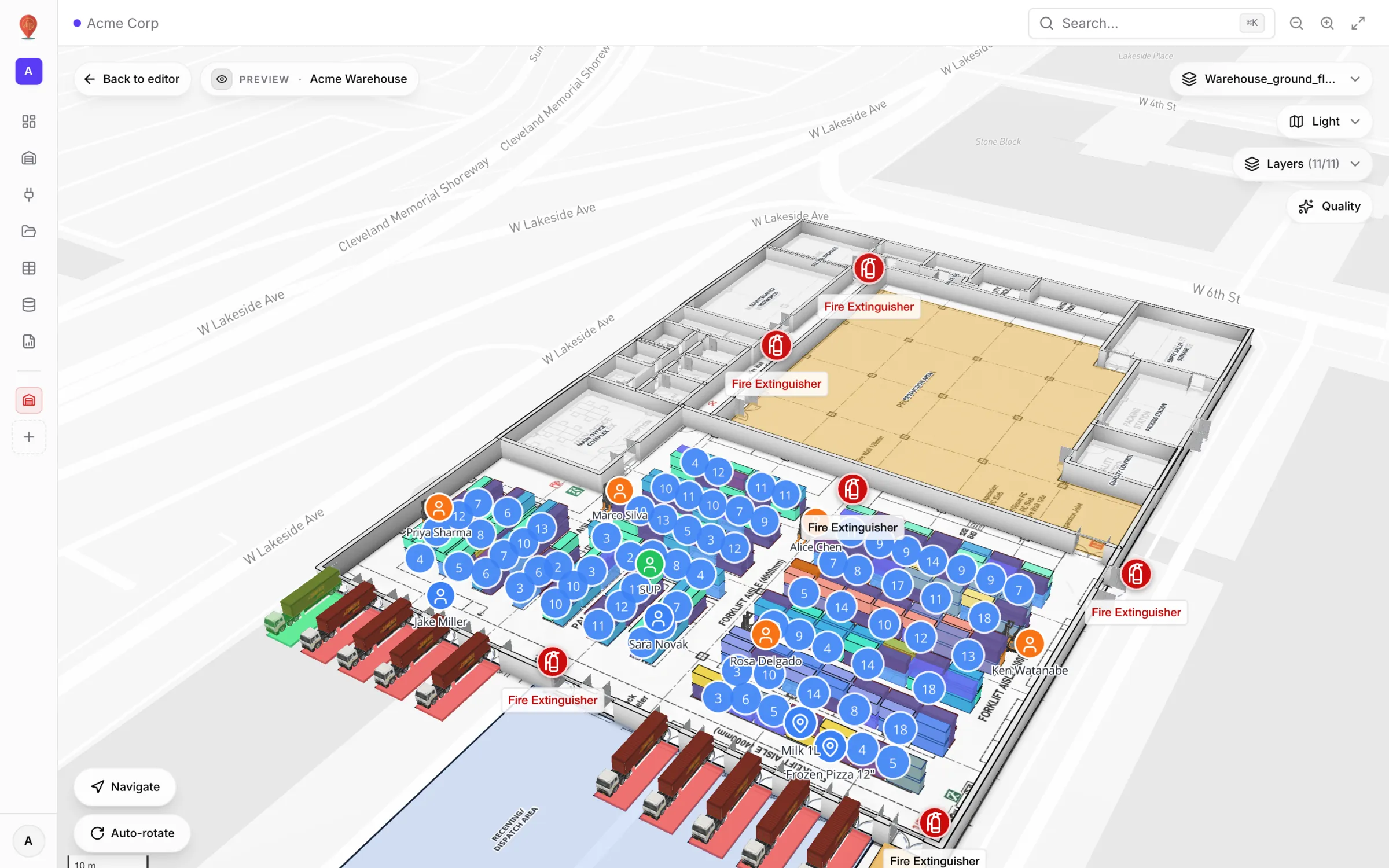
 Comparison12 min read
How to choose digital twin software: a 2026 buyer’s checklist
Every vendor demo looks good on its own sample data. This checklist covers the 15 questions that separate a live operational twin from a pretty floor plan, and how to prove the answers in a two-week pilot.
digital twinbuyer guide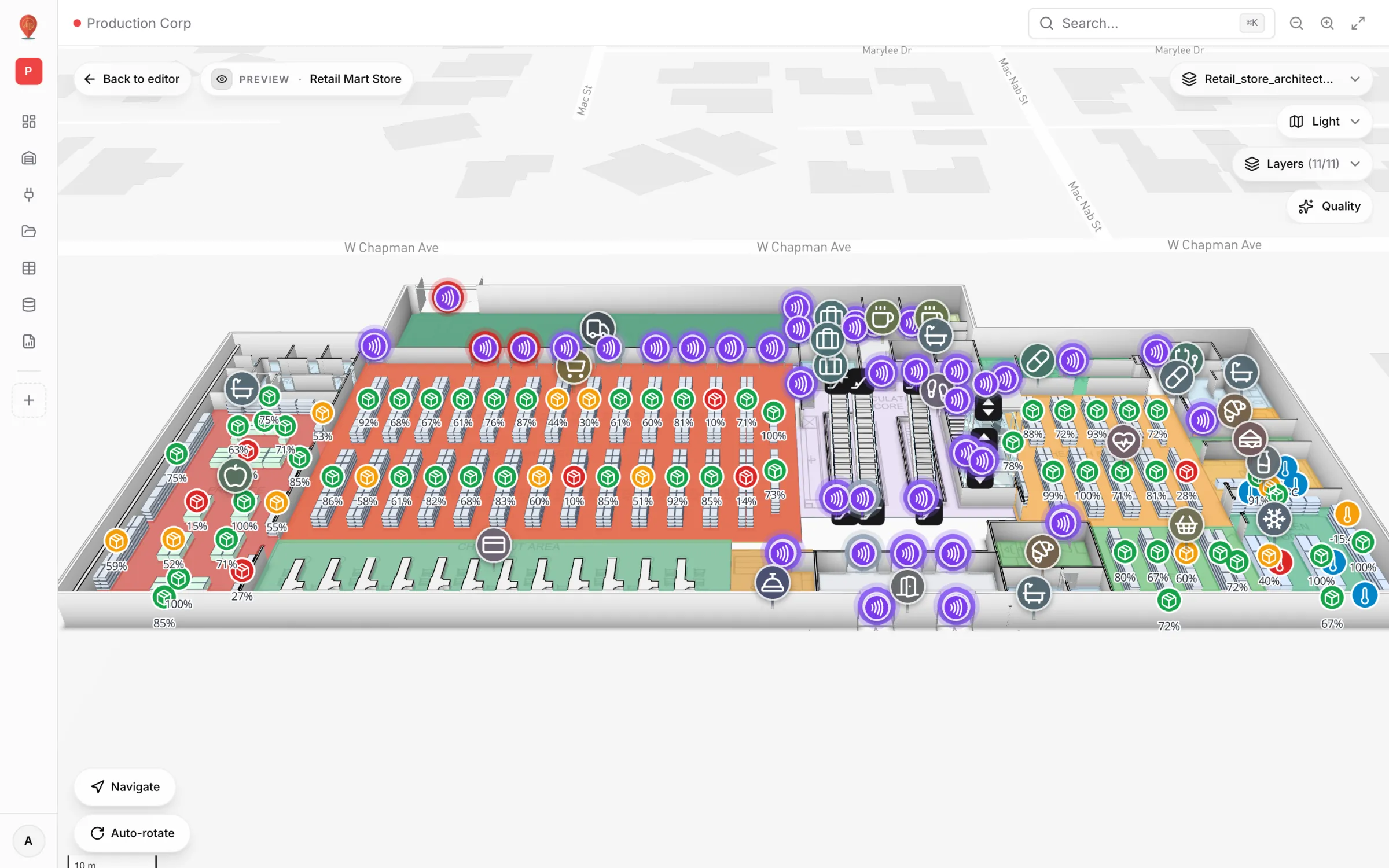
 Use case8 min read
Retail anti-theft on a live map: RFID readers, exits and blind spots
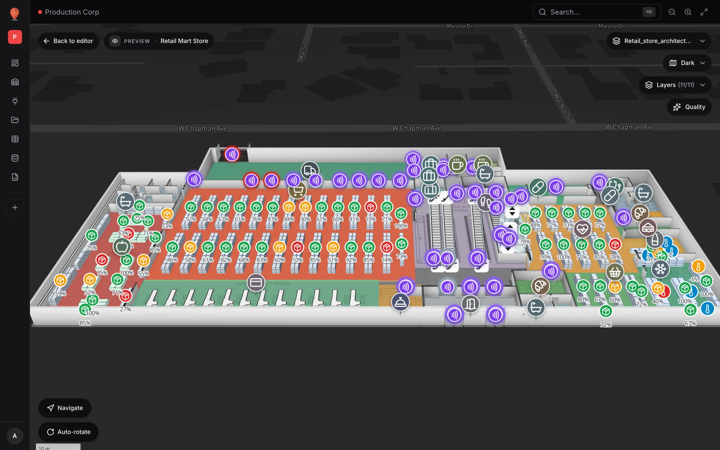
A tag that leaves through a door with a dead reader is invisible. A real walk-through of the Retail Mart demo: 85 readers on three floors, four of them offline — three at the receiving dock.
retailanti-theft- Tutorial10 min read
Warehouse KPI dashboards with a live 3D map: a builder tutorial
A chart says 66% of bins are occupied; a map says where. This tutorial walks through the guided 12–13 step report builder to put both on one warehouse dashboard — using the real Rack Inventory report from our demo warehouse.
warehousereports - Use case10 min read
Retail shelf monitoring on a live store map: stock and cold chain
An out-of-stock is a location problem before it is an inventory problem. Here is how our multi-level Retail Mart demo puts shelf counts, department status, cold-chain probes and RFID readers on one live map — and how to wire your own store the same way.
retailshelf monitoring - Industry9 min read
Mall operations on one live 3D map: floors, units, devices and tenants
Security, cleaning, the loading dock, building systems and leasing each live in a different tool. A live 3D map of every floor is the one place they can agree on location. Here is how to build one, using our multi-floor Retail Mart demo as the worked example.
shopping mallmall operations - Deep-dive9 min read
Indoor wayfinding software: turn-by-turn directions on your floor plan
GPS stops at the front door. Here’s how Spatial Map builds walking routes from the floor plan you already maintain, gives visitors turn-by-turn directions in the viewer, and, honestly, where floors, lifts and accessibility fit in today.
wayfindingindoor navigation 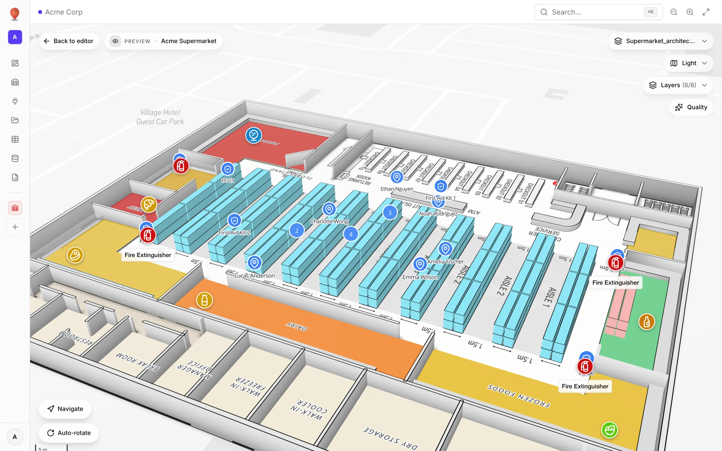
 Industry9 min read
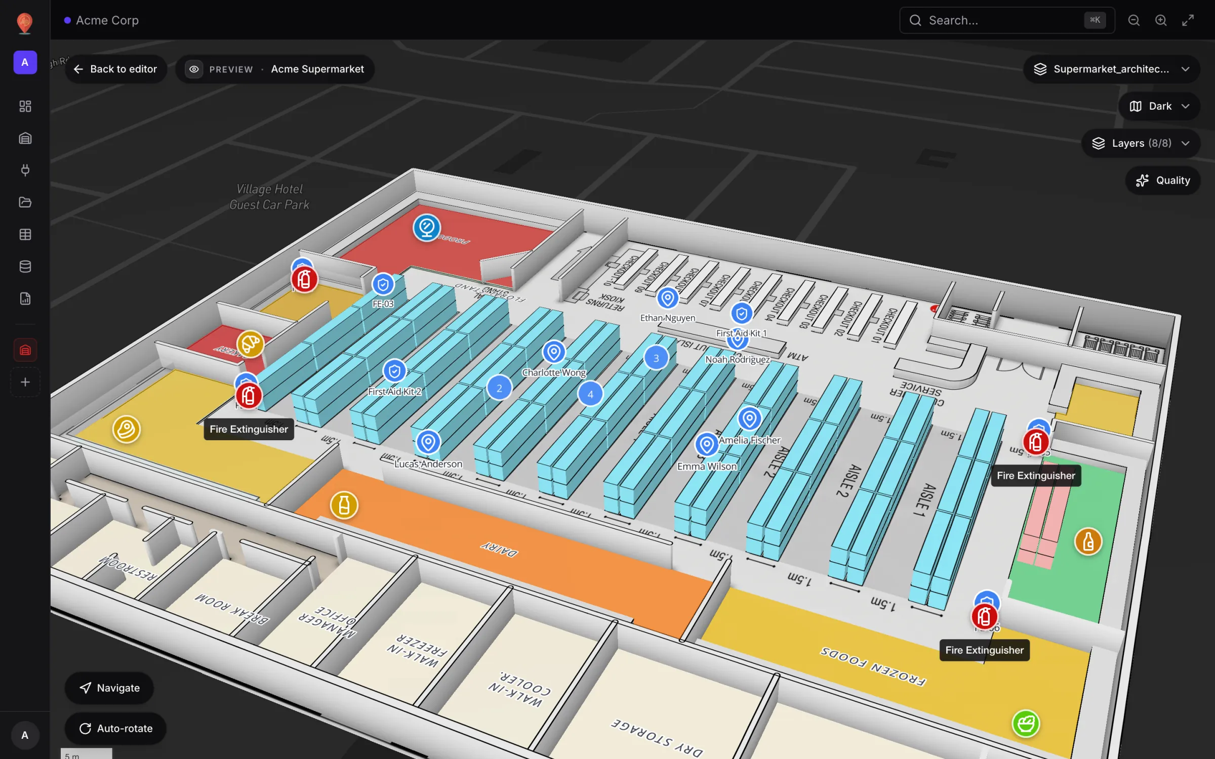
Supermarket digital twin: staff, traffic and safety on one map
The POS knows what sold, the rota knows who is in, the inventory system knows what is low — but none of them can tell a store manager where the problem is right now. A live 3D store map can.
supermarketgrocery- Deep-dive8 min read
AI floor plan to digital twin: what’s coming, and how to do it today
AI that turns a floor plan into rooms and walls is the most requested shortcut in digital-twin projects. Ours, AI Map, is in development and not usable yet. Here is what it is being built to do, and the workflow that gets you the same result today.
floor planai - Tutorial7 min read
From spreadsheet to spatial: turning a bin inventory CSV into a live rack map
A CSV in a shared drive helps no one on the floor. The same CSV painted on your rack layout is a shift meeting.
CSVXLSX - Deep-dive9 min read
Mapbox GL marker occlusion: hiding HTML markers behind 3D floors, walls and racks
Mapbox’s Marker occludedOpacity only reacts to 3D terrain — not to your floor slabs, walls or racks. Here is the analytic depth test we run instead, and the symbol‑layer traps we hit along the way.
mapbox-gl3D - Deep-dive8 min read
Multi‑floor 3D warehouse maps: why stairs, lifts and doors matter more than you think
A pretty 3D model is a screenshot. A useful 3D facility is one where doors open the route, walls block it, lifts know which floors they serve and every visitor lands on the right floor.
multi-floor3D - Tutorial11 min read
WMS integration guide: REST, webhooks and WebSockets for a live warehouse map
Your WMS may speak REST, webhooks or WebSockets. Spatial Map pulls REST endpoints, imports files and receives pushes as table API writes — here is how to pick a path and wire it, with working curl and a small relay.
WMSintegration - Deep-dive9 min read
AMR / AGV navigation and your facility map: what Spatial Map gives a robotics team (and what it doesn’t)
A robot fleet does not need a new drawing. It needs the walls, doors, racks and aisles you already drew — exported as GeoJSON — a route check you can run in the browser, and a map that shows where the robots are. Steering them stays with the fleet manager.
AMRAGV - Industry8 min read
Retail footfall heatmaps: map store and mall traffic zone by zone
Total daily footfall is a vanity number. Entries per zone, per hour, painted on the floor where they happen, is something a store manager can act on. Here is how our demo supermarket does it — and when a true density heatmap is the better fit.
retailfootfall - Use case9 min read
Real‑time indoor asset tracking: from RTLS tag to a live marker on your floor plan
"Pallet jack 03 — last seen 16:28" is a spreadsheet row. A blue dot at dock 2 is an answer. This is the honest pipeline from a tag to a moving marker, built on two generic tables, Staff and Equipment, that you can copy for your own site.
asset trackingRTLS - Tutorial8 min read
From a CAD or PDF floor plan to a 3D browser map, step by step
Pick the sheet or the layers, confirm the scale or units, drop the plan onto the map and line it up. The drawing arrives as a true-size picture; the 3D building is what you trace on top. Here is the whole path, with what it does and doesn’t do.
CADDWG - Comparison8 min read
Warehouse digital twin vs WMS: what a live map adds (and what it leaves to the WMS)
A digital twin does not replace your WMS. It fills the gaps the WMS was never designed to fill — where each bin is, what is happening around it, and a view you can hand to people who will never log into the WMS.
digital twinWMS - Industry8 min read
Cold storage temperature monitoring on a live, colour-coded floor plan
Freezer alarms alone don’t pass an audit. A floor plan where every probe shows its reading — and turns amber or red past your limits — tells the shift lead which case is drifting at a glance, and the row history backs it up.
cold storagecold chain - Tutorial10 min read
Integrating RFID readers with an indoor map: a step-by-step guide
A walkthrough built on a real demo — 85 readers across a three-floor store. Roll reads up per reader, write them to a table in batches, and link that table to the reader markers on the map and to a full-map report.
RFIDIoT
25 posts