South Asia · India, Pakistan, Bangladesh, Sri Lanka, Nepal

Indoor mapping and RFID tracking software for South Asia

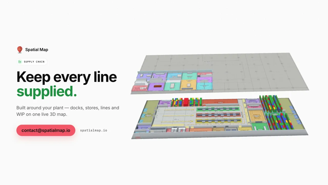
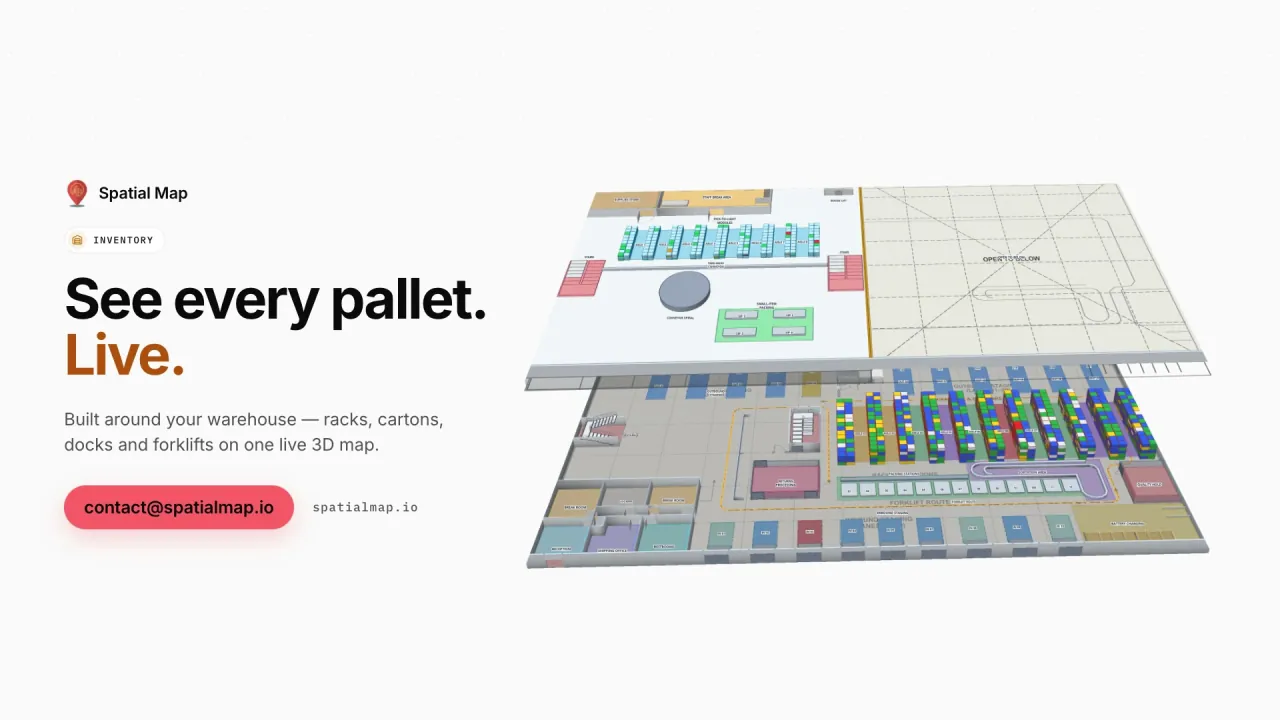
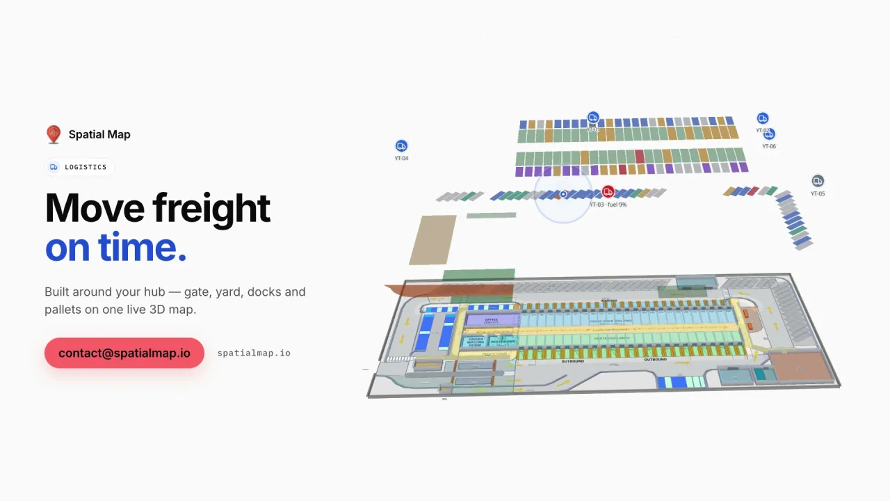
Spatial Map is indoor mapping and RFID tracking software for South Asia: a browser-based platform that puts RFID reads, sensor readings and stock levels on a live 3D map of each building. Across the region that means garment factories in Dhaka and Lahore, fulfilment centres outside Bengaluru and Delhi, port warehouses in Mumbai, Karachi and Chattogram, and the malls and airports of the region’s big cities — all mapped remotely and connected to the systems you already run.

No credit card. Runs in the browser. Pro is $60/month for up to 4 facilities. Book a demo

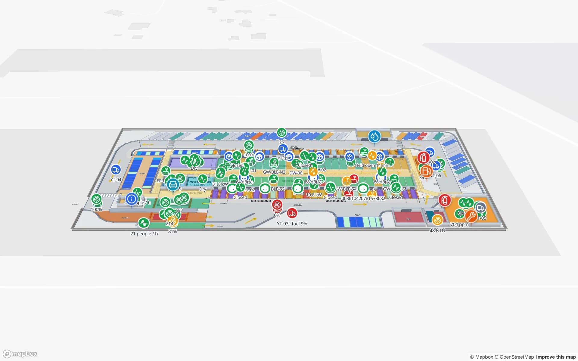
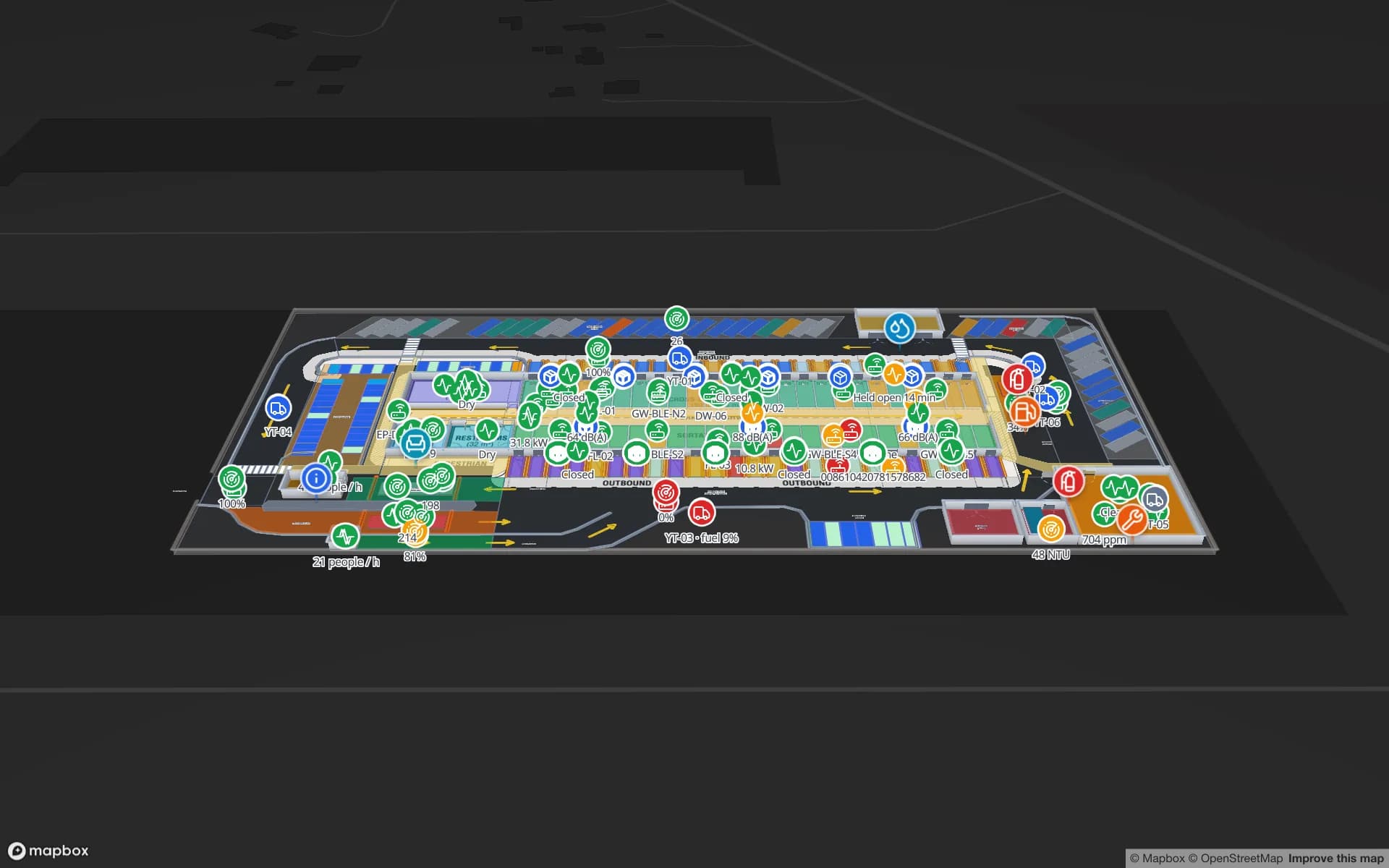
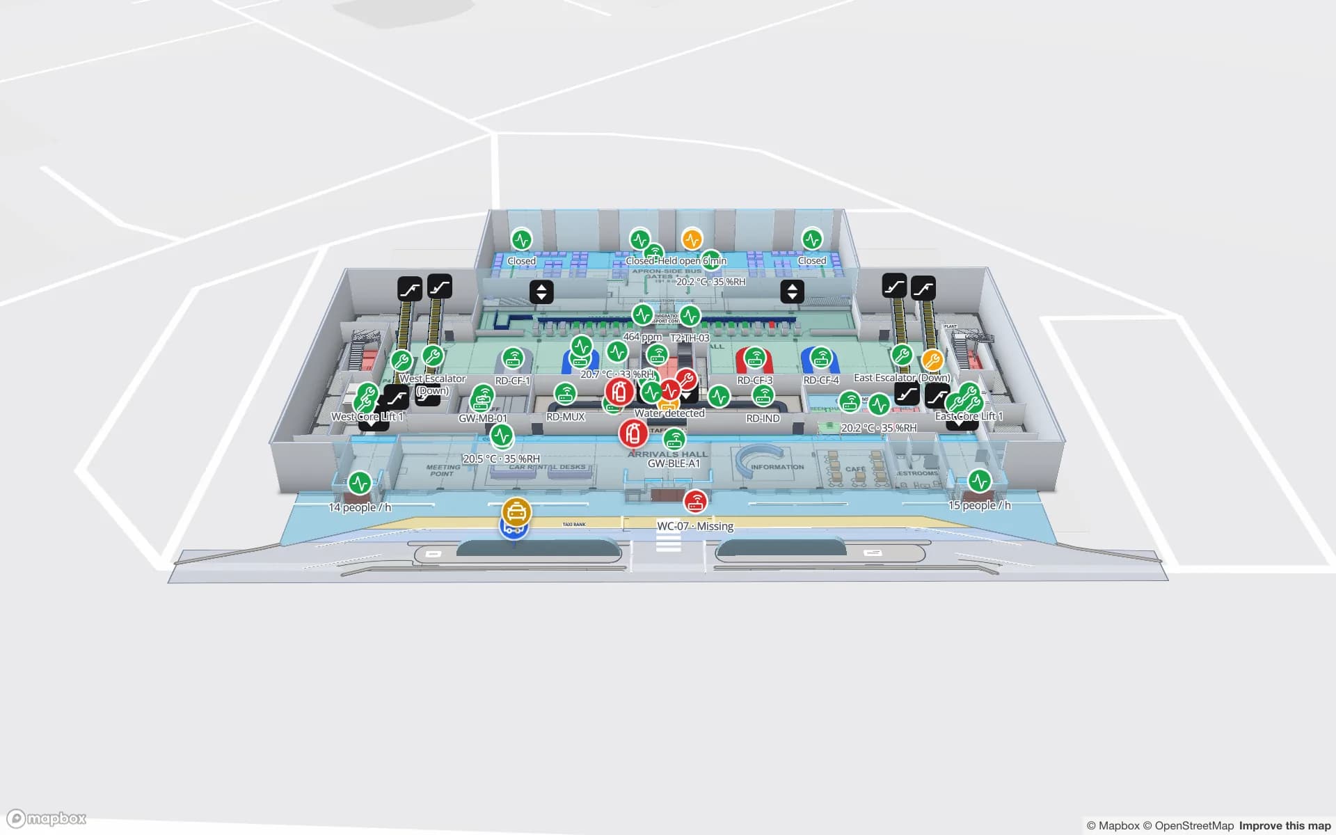
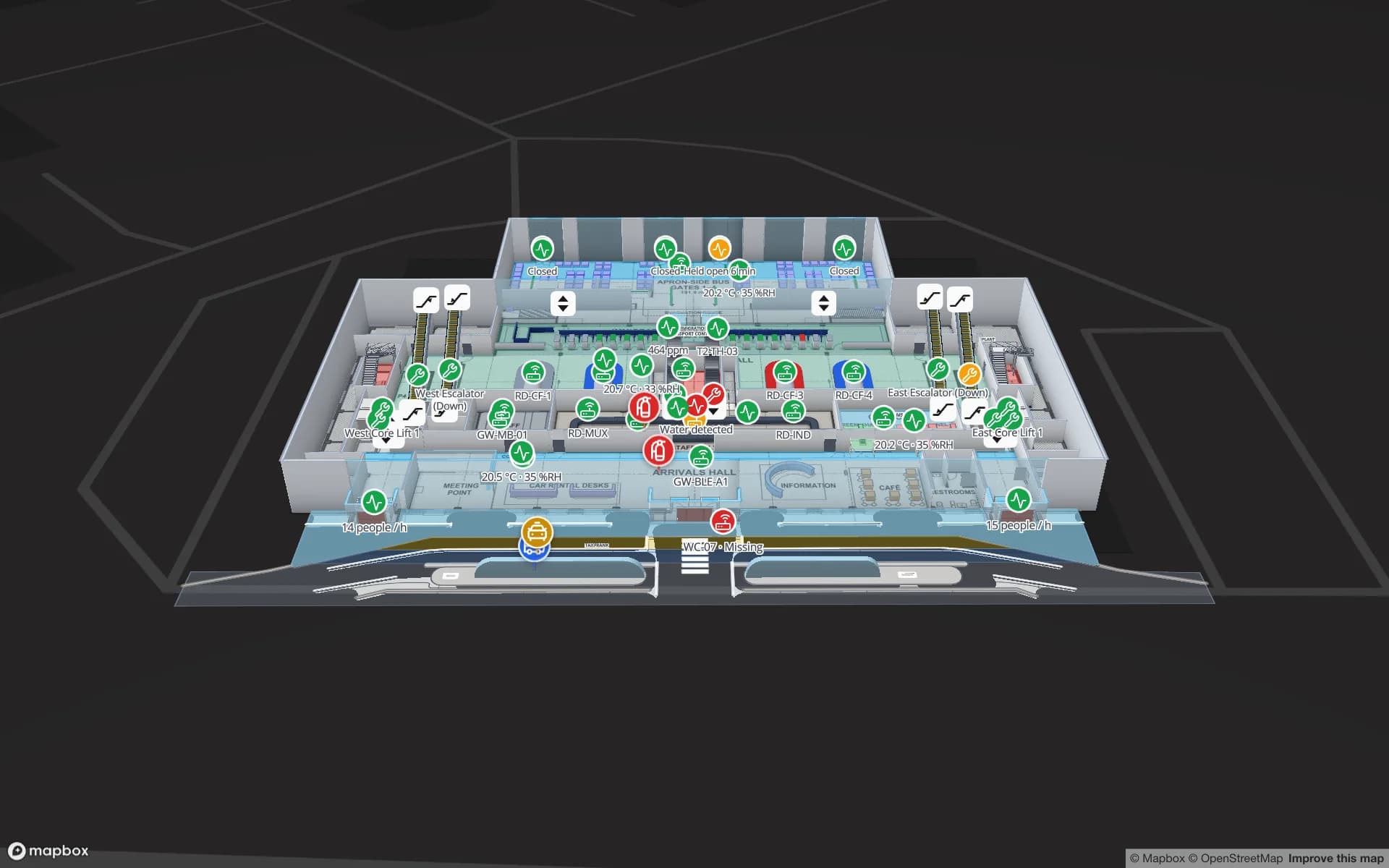
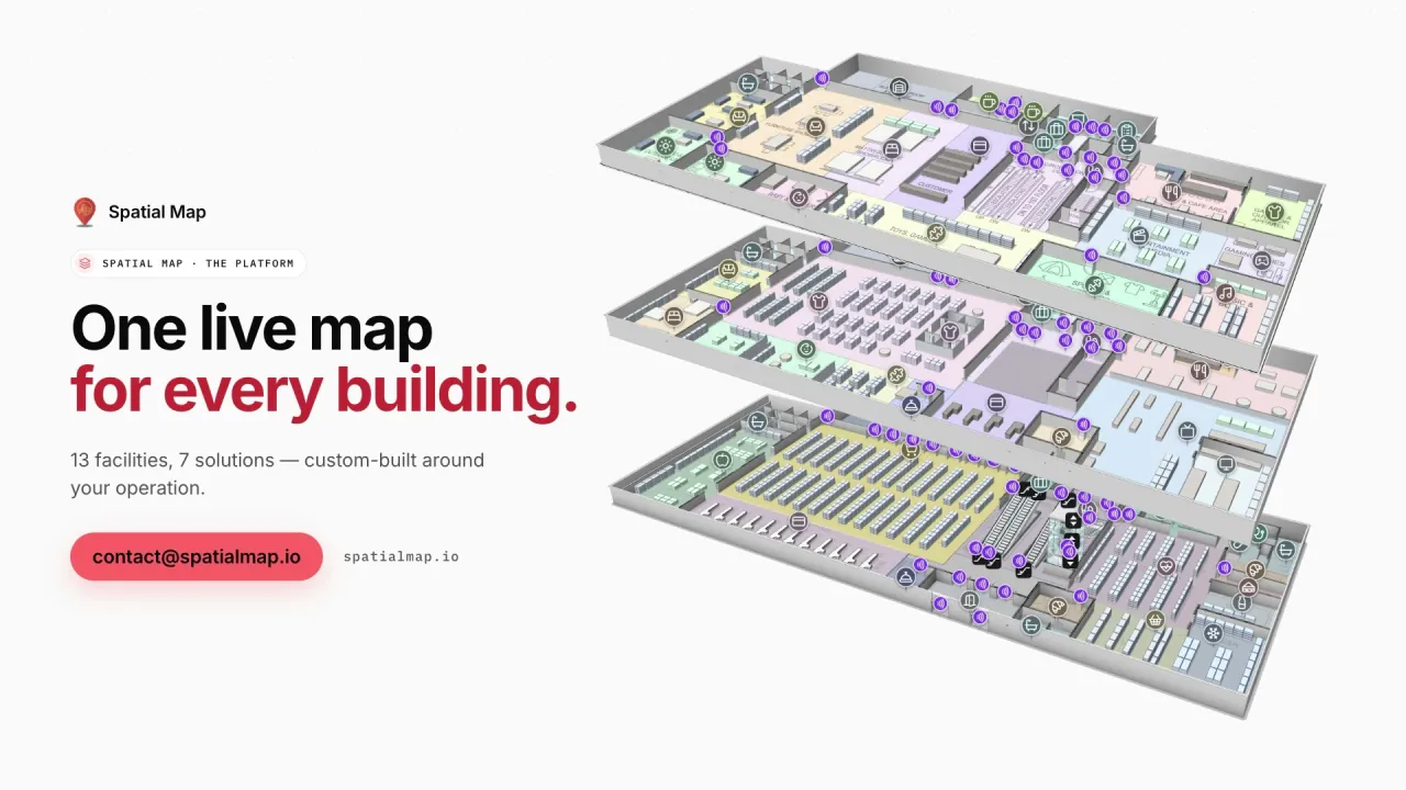
Platform film: “One live map for every building” beside three stacked floors of a demo warehouse in 3D
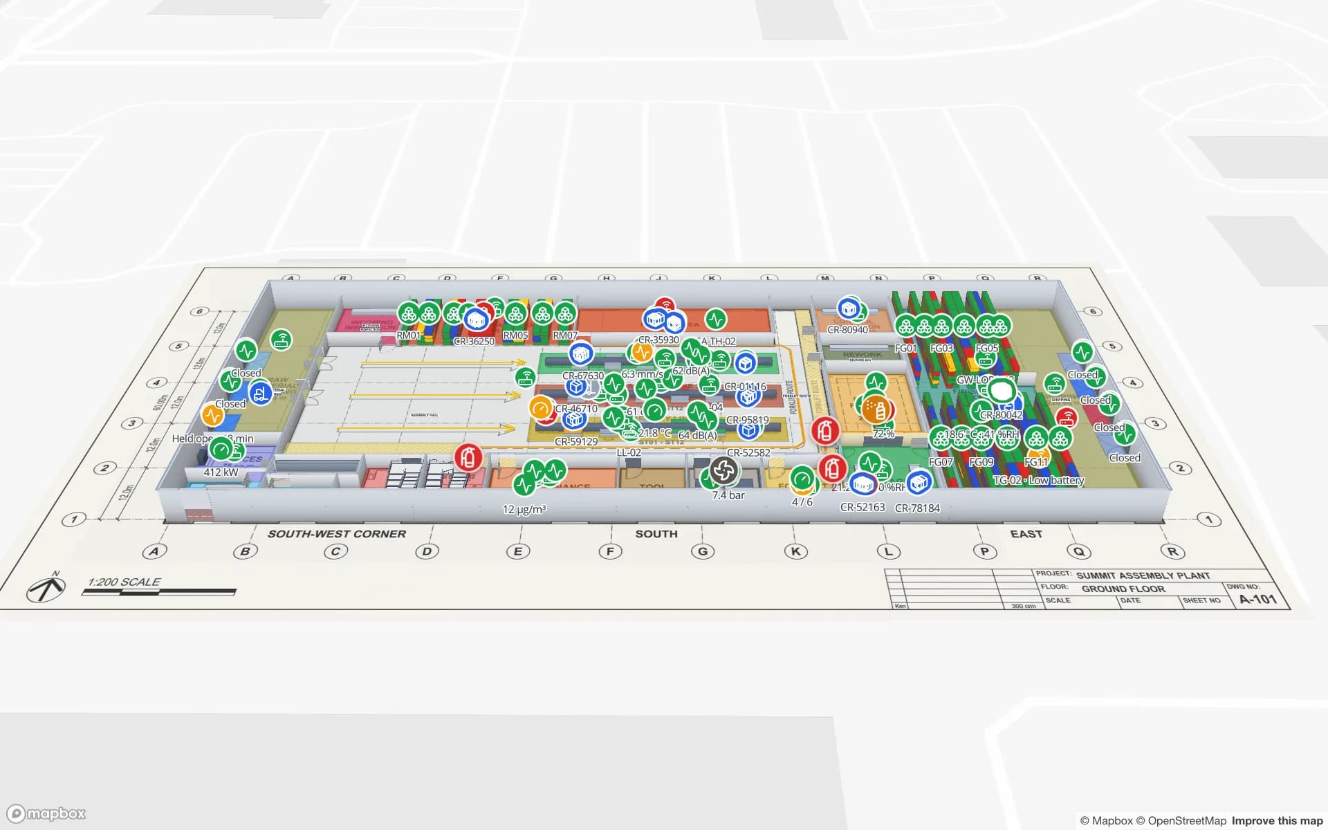
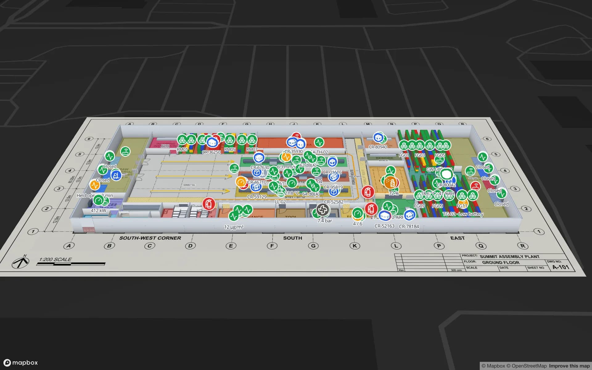
The platform film: the 13 demo facilities, floors modelled to scale and 1,893 devices on one live map.
Demo facilities to open in the browser
13
Devices on the demo workspace map
1,893
Interface languages (no South Asian language yet)
6
Free trial, up to 5 facilities, no card
7 days

One supply chain that crosses borders

A shirt sold in Europe can start as cotton grown in India or Pakistan, become yarn and fabric in a mill in either country, be cut and sewn in Bangladesh, and leave through Chattogram, often transhipped through Colombo in Sri Lanka, a major hub port for the region’s container traffic. Electronics, medicines and packaged food follow similar cross-border routes. Every step happens inside a building whose floor plan, more often than not, sits in a PDF nobody looks at.

Spatial Map gives each of those buildings a live map: the mill shed, the sewing floor, the finishing and packing hall, the bonded warehouse, the container freight station. Facilities sit side by side in one workspace and can be grouped into solutions — by buyer, by country or by product line — so a sourcing or operations team sees the chain building by building instead of in a spreadsheet.
Country pages

Each market has its own page, because the buildings and the questions differ:

  • India: Grade-A warehousing and 3PL parks, organised retail and malls, large airports, electronics and pharma plants, the 865–867 MHz RFID band and the DPDP Act. Deeper pages for RFID tracking in India, indoor mapping in India, and Bengaluru, Mumbai and Delhi NCR.
  • Pakistan: textile mills and garment factories in Faisalabad, Karachi and Lahore, pharma manufacturing, Karachi’s two ports and in-house integration teams.
  • Bangladesh: the garment-export sector, apparel RFID labelling asked for by buyers, Chattogram port and Dhaka warehousing.
  • Sri Lanka and Nepal have no page of their own yet. The product is the same there: browser-based, priced in US dollars and set up remotely.

Plans that are scans, sketches or nothing at all

Many factories and godowns in the region were built and extended in stages, and the best surviving plan may be a scanned blueprint or an architect’s PDF from the first phase. Spatial Map takes a PDF, a DWG (AutoCAD R2004–R2018) or a plain image, placed at real-world size. On an uploaded, aligned plan, AI Map drafts walls, doors, racks, labels, areas, stairs and lifts for the whole floor or one rectangle of it; you review the drafts and add them to the map or discard them. It drafts, a person checks.

Where no plan exists, a measured sketch photographed on a phone is enough to start. Racks, sewing lines and dock doors are drawn on top, and the map can be corrected as the building changes.

Hardware bought locally, software that does not mind

RFID readers, BLE gateways and sensors are usually bought from a local integrator, and the radio rules differ by country — India, for example, uses 865–867 MHz for UHF RFID. Spatial Map has no reader drivers and no preferred vendor. Your middleware, RTLS engine or a small relay posts rows to a table through the table write API, or Spatial Map polls a REST endpoint you already have; data links turn the rows into markers, coloured areas and heatmaps.

Positions come from your own system. Spatial Map does not compute positions from BLE signal strength; it shows the zone or x/y that your RTLS software or gateway reports.

Languages, data protection and how we work

The interface is in English, Arabic, Chinese, French, German and Spanish; there is no Hindi, Bengali, Urdu, Tamil or Sinhala. English is the working language for most operations and IT teams in the region, and your own room names, rack codes and report titles appear in whatever script you type them.

Data-protection law is changing across the region: India has the Digital Personal Data Protection Act, 2023, and Bangladesh issued a Personal Data Protection Ordinance in 2025. Both matter when tracking touches people; your legal advisers decide what applies. Spatial Map is sold online, with no local office or partner, and our team works with customers remotely through the contact form. A data processing agreement is available.

How Spatial Map does it

From a factory or warehouse in the region to a live map

  1. 01

    Send or upload the plan

    A PDF, DWG, scan or measured sketch per floor, placed at real-world size.

  2. 02

    Let AI Map draft, then review

    Walls, doors, racks and areas drafted on the plan; you keep what is right and fix the rest.

  3. 03

    Connect what you already run

    ERP, WMS, RFID middleware or sensor gateways post rows, or Spatial Map polls their REST endpoint.

  4. 04

    Group the chain

    Facilities in several countries grouped by buyer or product line, with reports and read-only links.

What teams in South Asia map first

Garment and textile factories

Cutting, sewing, finishing and packing halls with WIP and cartons in place.

Fulfilment and 3PL warehouses

Rack locations coloured from the WMS and RFID cartons followed to the dock.

Port-side freight stations

Dock doors, yard slots and pallets staged for the right container.

Malls and airports

Multi-floor maps with live crowding, retail and lifts, and routes between levels.

See it on real demo facilities

Fictional names, real floor plans, live sensors, RFID, BLE tags and gateways — open any of them in the browser.

All 13 demo facilities

Questions from teams in South Asia

Any of them: the product runs in a browser and is sold online. India, Pakistan and Bangladesh have their own pages; teams in Sri Lanka, Nepal and elsewhere use exactly the same product and plan.

Yes. Each building is a facility in one workspace, wherever it is, and solutions group facilities, reports and data — for example all the factories that supply one buyer. Roles control who sees which facility.

Usually, yes. A scan or photo is placed at the building’s real size and traced; on paid plans and the trial, AI Map drafts walls, doors, racks and areas from it for you to review. A clean PDF or DWG gives a sharper result, but it is not required.

No. The app is in English, Arabic, Chinese, French, German and Spanish, chosen per user. Content you enter — room names, SKU descriptions, report titles — can be in any script.

In US dollars, the same as everywhere: a 7-day free trial for up to 5 facilities with no card, then Pro at $60 a month or $600 a year for up to 4 facilities. There are no local-currency prices. A free, MIT-licensed open-source edition can also be self-hosted with Docker.

Put one building from your chain on a live map.

Start the free trial, or send a floor plan and a sample of your data through the contact form and we will show you that building live.