Beijing · Daxing, Capital airport, Shunyi and Zhongguancun

Indoor mapping in Beijing, from the airport terminal to the campus lab

Spatial Map turns floor plans into live 3D maps in the browser, with routes between floors, tables of live data and read-only links for visitors and contractors. Indoor mapping in Beijing is mostly about very large buildings and the people who have to find their way through them: two international airports, exhibition halls beside one of them, and a university district whose labs, libraries and tech-park offices fill the northwest. A map of each building, with the lifts and passageways drawn in, is what facilities teams and visitors need.

No credit card. Runs in the browser. Pro is $60/month for up to 4 facilities. Book a demo

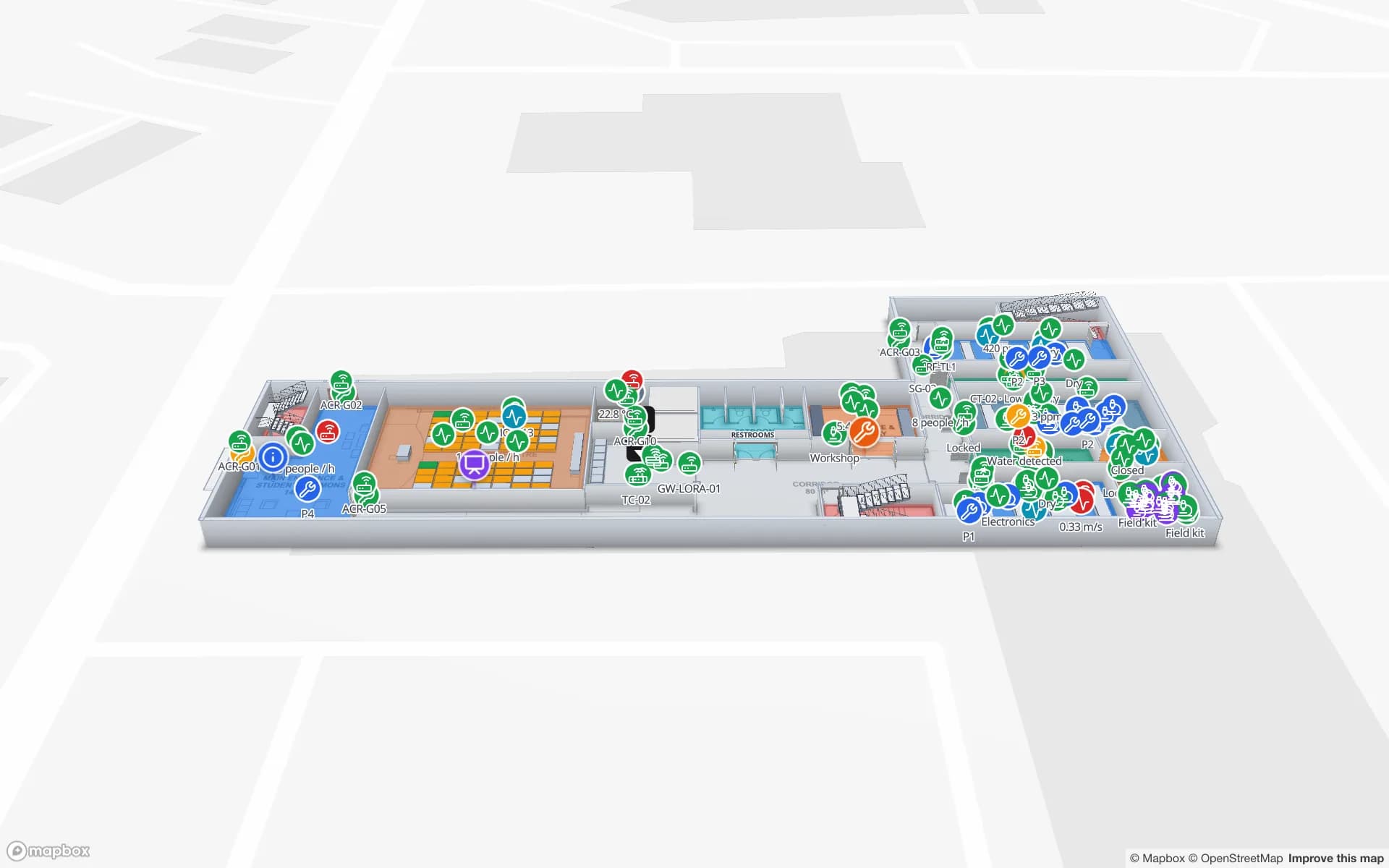
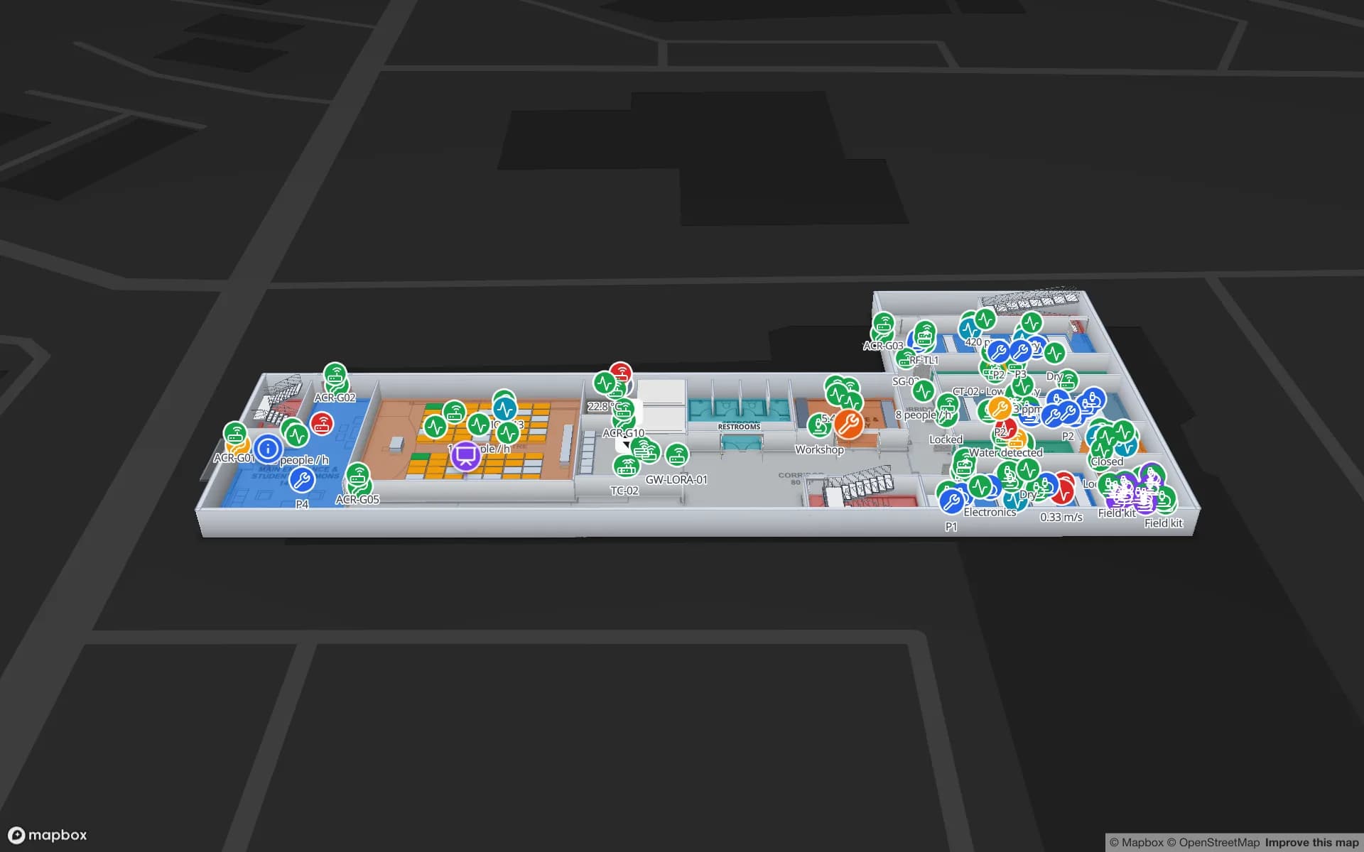
Silverbay International Airport — Terminal 2, a airport terminal demo, in the Spatial Map 3D viewer with live device markers
Silverbay International Airport — Terminal 2
Silverbay Airport, a demo terminal: two floors with check-in, security, gates, lifts and escalators.
Floors in the Silverbay airport and Lakeside convention demos
2
Route types in wayfinding: Fastest, Step-free and Other
3
Interface languages, including Chinese
6
Free trial, up to 5 facilities, no credit card
7 days

Daxing, Capital and the airport free trade zone area

Beijing Daxing International Airport opened on 25 September 2019 as the capital’s second international airport and relieved Beijing Capital International Airport in the north-east, which stays in service. The plan for the Beijing pilot free trade zone called for a world-class aviation hub built on both airports, and China Daily describes a Daxing Airport Area, on the border of Daxing district and Langfang in Hebei, as part of the Hebei pilot zone.

A terminal is a building where getting lost costs money, and trade press describes Capital’s Terminal 3 as about 986,000 square metres of floor area. Draw each level, mark the lifts and escalators, and indoor wayfinding routes across floors with Fastest and Step-free options and walking minutes. Spatial Map does not show a visitor’s own position (no blue dot); the route is from a place you choose. For staff and contractors the useful layers are different: service corridors, baggage rooms, plant rooms and which door needs which badge. The airport page and the post on wayfinding in airports and malls cover what to draw first.


Exhibition halls beside the runway

The China International Exhibition Center’s Shunyi Hall sits next to Capital airport. Beijing’s government gives it an indoor net exhibition area of 106,800 square metres, about 50,000 square metres of outdoor space and eight single-storey, pillar-free halls. Venues like this change shape from one event to the next: booth blocks, registration, session rooms and marshalling areas for freight trucks are re-drawn in days.

Map the halls once, keep each event’s booth layout as its own layer, and publish a share link that locks one floor and one set of layers for an organiser, a contractor or a stand builder, with an expiry date and no account. The Lakeside Convention demo shows two floors of halls, booth blocks, session rooms, registration and freight docks, and the venues page lists the layers that matter. Spatial Map does not run ticketing or registration.

Zhongguancun and the campuses

Zhongguancun, in Haidian in the north-west, grew from an electronics street into a technology zone: the State Council approved its forerunner experimental zone in 1988 (the zone’s official name varies between sources), and China Daily counts almost 40 colleges and universities in the area, among them Peking University and Tsinghua University. Campus buildings are old and new at once, with labs, workshops, libraries, stores and chemical cupboards, and every semester someone cannot find a room.

A campus map works at two levels: a room-level map for students and visitors, with step-free routes, and a facilities map for what is in the rooms. The Westbrook University demo shows teaching labs, classrooms, prep rooms, chemical and hazmat stores and access readers on two floors, with a table for each. Tag shared lab equipment and the same map shows where an instrument is and when it was last read. The campuses and offices page covers the layers.

Office towers and the 2020 zone plan

The plan for a Beijing pilot free trade zone was published on 21 September 2020, with three areas for science and technology innovation, international business services and high-end industry. Whatever the zone’s boundaries, the buildings that occupy them are offices, labs and light-industrial units whose operators share the same needs: a current plan, a register of what is where, a way to guide visitors and a record of meeting rooms and equipment.

The Harborview demo shows that kind of three-floor workplace, with an asset register, equipment checkout, stores, meeting rooms and work orders on one map. Start with the plan you have, even a scan or a CAD file; AI Map drafts walls, doors, stairs and lifts for a person to review, and a first usable floor takes an afternoon rather than a project.

Services for teams in Beijing

Where Beijing teams usually start depends on the building:

  • Airport, venue and campus operators usually begin with indoor maps and wayfinding, because they do not need readers or tags to be useful.
  • Labs and facilities teams tend to add asset tracking for shared equipment, with a checkout table.
  • Logistics at the airports and exhibition halls often starts with inventory tracking at docks, for stand material, freight and spares.
  • RTLS and UWB matters mainly for very large halls and plants where vehicles and equipment must be located continuously; most buildings will not need it first.
  • If you want readers, tags or demo kits, our team can source devices on request, quoted per project, with warranty and device support from the manufacturer: see hardware and demo kits on request. Where you need an app or an integration, our team builds custom software as a client project. The product runs as cloud or on-premises.

Also served nearby

The same approach covers Tianjin and the Langfang logistics area to the south-east, as well as Yizhuang, Changping and Shunyi’s own industrial and logistics buildings. Nothing needs to be installed at any of them: the map opens in a browser. For data-location questions, see the notes on China.

How Spatial Map does it

From a floor plan to a guided building

  1. 01

    Pick one building

    A terminal, a hall, a campus building or an office floor, wherever visitors or contractors get lost.

  2. 02

    Upload and align the plan

    A PDF, DWG (AutoCAD R2004–R2018, placed as a picture) or image; AI Map drafts walls, doors, stairs and lifts for a person to review.

  3. 03

    Add routes and layers

    Mark lifts, escalators and step-free routes, then add layers for events, rooms or equipment.

  4. 04

    Share and keep it current

    Read-only links with expiry for contractors and organisers; live data later if you want it.

What Beijing teams map first

Airport terminals and cargo areas

Check-in, gates, lifts, escalators and routes with step-free options.

Exhibition halls

Halls with booth blocks, freight docks and marshalling areas, re-drawn per event.

Campus labs and stores

Teaching labs, prep rooms and hazmat stores with equipment tracked in place.

Office floors and shared equipment

Asset register, checkout and meeting rooms on one map.

See it on real demo facilities

Fictional names, real floor plans, live sensors, RFID, BLE tags and gateways — open any of them in the browser.

All 13 demo facilities

Indoor mapping in Beijing — questions we get

No. Spatial Map has no blue dot or visitor positioning. Wayfinding routes between places you choose, across floors via stairs, lifts and escalators, with Fastest, Step-free and Other options, turn-by-turn directions and walking minutes.

Yes. Upload a PDF, DWG (AutoCAD R2004–R2018, placed as a picture) or image and align it at real size. AI Map drafts walls, doors, stairs and lifts, and a person corrects what it gets wrong.

Yes. Keep the permanent building as one set of layers and each event’s booths and routes as its own, then publish a read-only share link per event with an expiry date and a floor and layer lock.

Spatial Map maps the building from your own plan. It makes no claim about outdoor map data, coverage or accuracy in China, so check how your site looks in the free trial.

No. Spatial Map is sold online and our team works with customers in China remotely, by video call and through the contact form. There are no local resellers or partners.

In US dollars, the same worldwide: a 7-day free trial for up to 5 facilities with no card, then Pro at $60 a month or $600 a year for up to 4 facilities. Larger estates are quoted as custom services.

Map one Beijing building before the next event.

Start the free trial and open the Silverbay demo, or send us the plan of a terminal, hall or campus building through the contact form.