Ports, free trade zones and the sheds behind them
China’s first pilot free trade zone opened in Shanghai on 29 September 2013, assembled from four existing bonded areas in Pudong, and the programme has since grown to more than twenty zones. Guangdong’s followed in April 2015 with areas at Nansha in Guangzhou, Qianhai–Shekou in Shenzhen and Hengqin in Zhuhai; the Zhejiang zone was expanded in September 2020 to add an area at Ningbo, and plans for a Beijing zone were published the same month. Inside any of them the daily questions are the usual warehouse ones: which pallet is in which bay, in what stock status, waiting for which container.
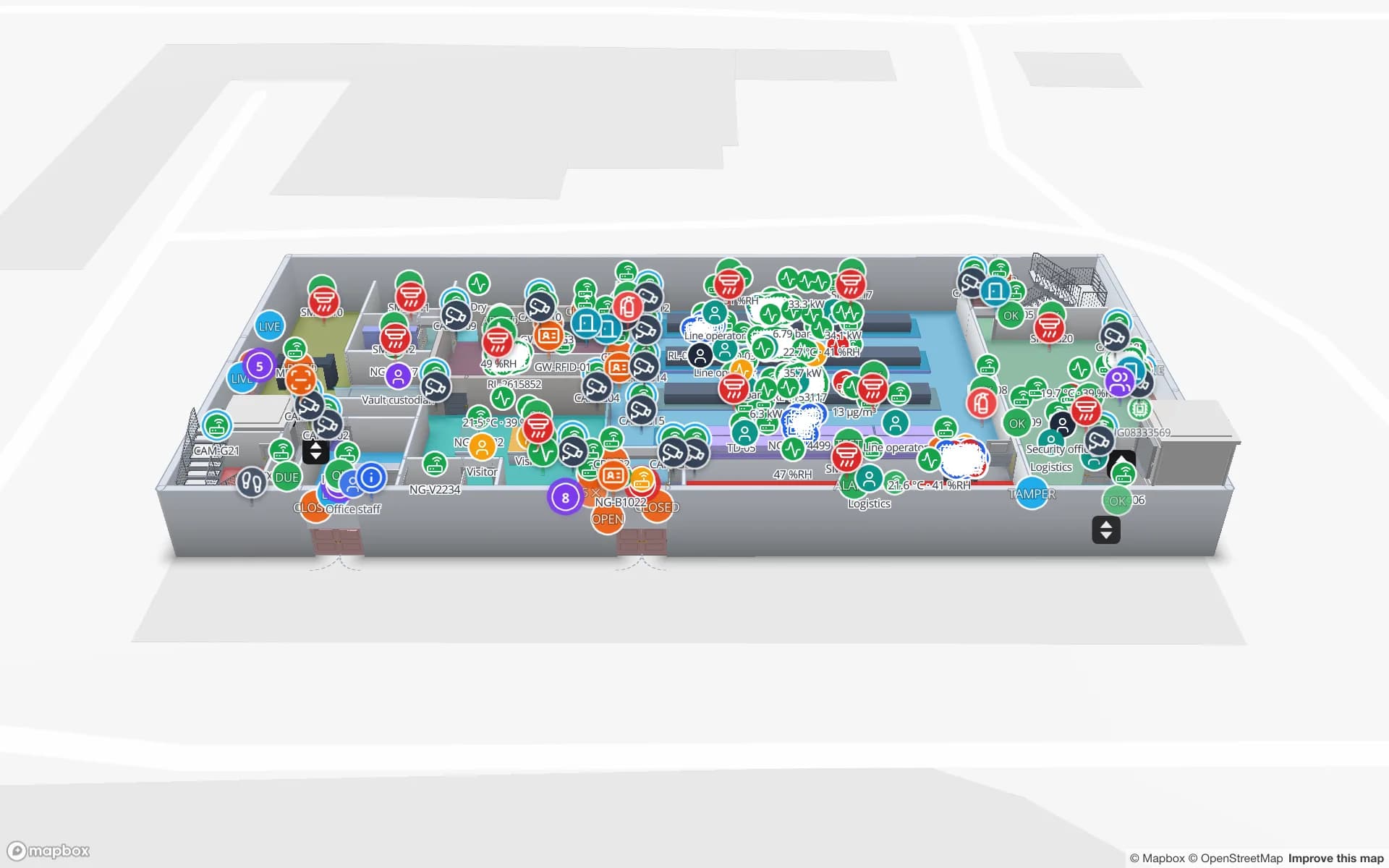
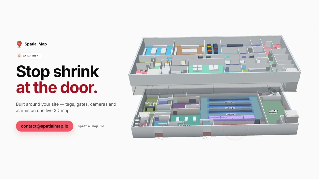
Two ports show how far the sea side has moved. Shanghai’s Yangshan deep-water port stands on islands in Hangzhou Bay and is reached over the Donghai Bridge, which opened on 1 December 2005; its Phase IV terminal, which Xinhua called the world’s biggest automated container terminal, began trial operations on 10 December 2017. At Ningbo-Zhoushan, China Daily reported that container sea-rail intermodal volume passed 2 million TEU in 2025, a national record, over 111 intermodal lines linking 40 dry ports. An automated quay does not tell you where a consignment sits inside a bonded shed after it leaves the yard. That is the building-level question Spatial Map answers: the Eastport demo shows dock doors, trailer yard slots, gate lanes and weighbridges on one map, and the RFID warehouse page explains where readers go. Spatial Map does not connect to customs, port or terminal systems; it shows what your own reads and records say.