Asia-Pacific · Singapore

Indoor mapping and asset tracking software for Singapore

Singapore packs a global logistics hub, a biomedical manufacturing base and a dense cluster of data centres onto a small island, so its buildings go up rather than out. Spatial Map turns data halls, multi-storey warehouses and pharma plants into live 3D maps in the browser, floor by floor, with racks, assets and readings placed where they actually are.

No credit card. Runs in the browser. Pro is $60/month for up to 4 facilities. Book a demo

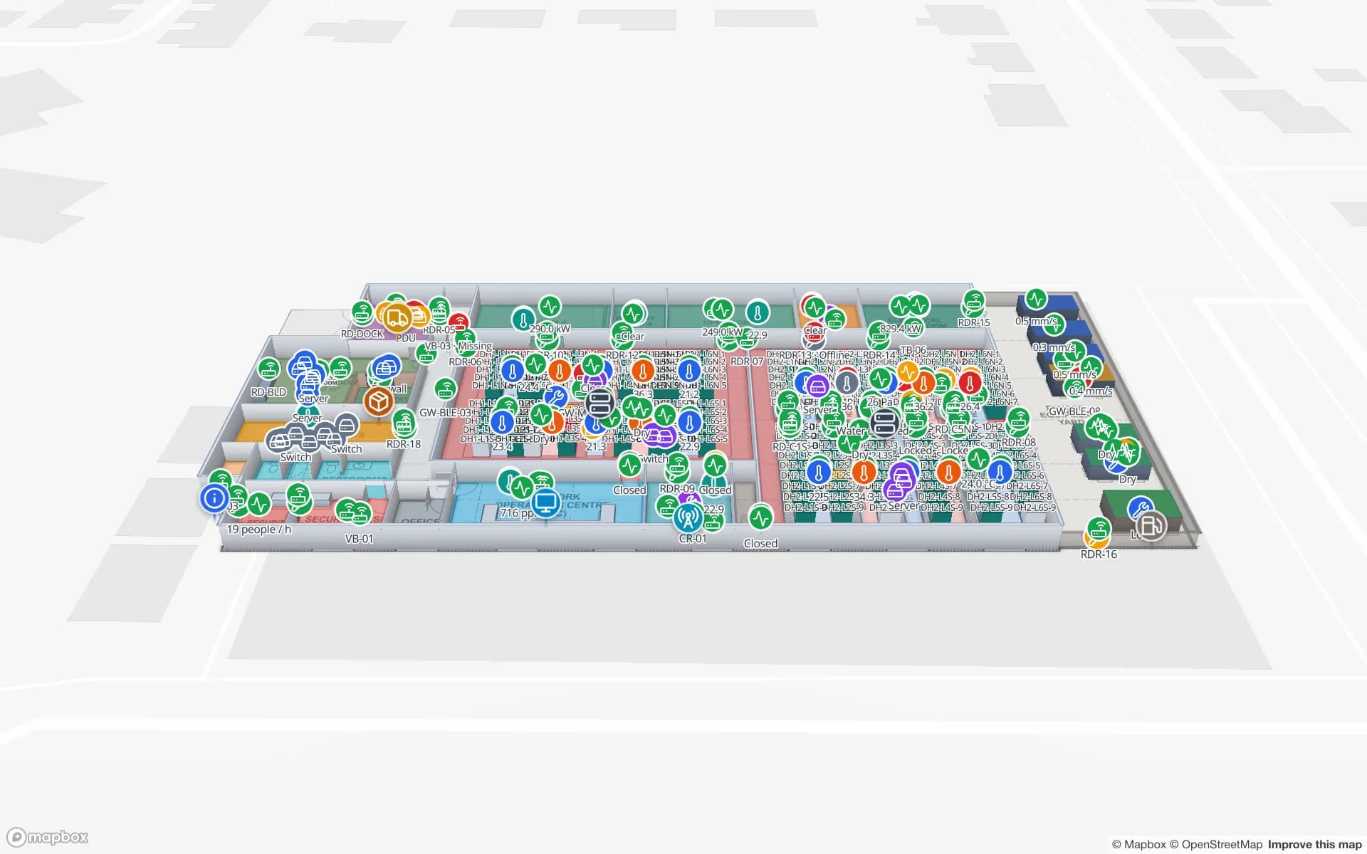
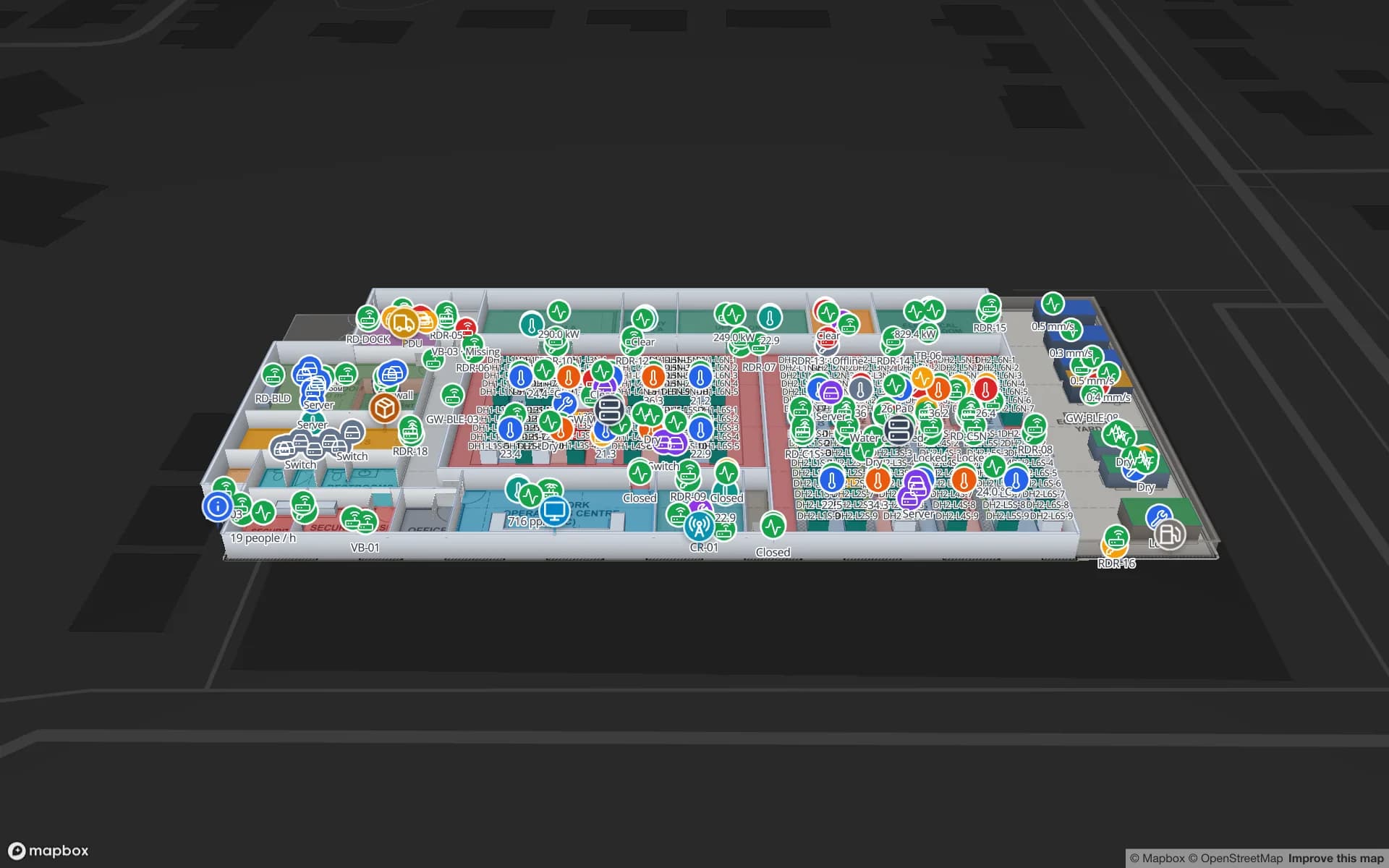
Ridgeline Data Center, a data center demo, in the Spatial Map 3D viewer with live device markers
Ridgeline Data Center
Ridgeline Data Center, a demo data centre: cabinets as rack cells, IT assets and spares tied to where they sit, and live RFID playback at the doors.
English and Chinese interfaces, chosen per user
EN · 中文
Demo facilities to explore online
13
Software to install — runs in any modern browser
0
Free trial, up to 5 facilities, no credit card
7 days

Data centres: cabinets, assets and what leaves the hall

Singapore is one of Asia’s major data-centre locations, and operators there manage halls full of cabinets, cages, spares stores and loading docks, often for many colocation customers at once. Asset registers say what exists; they rarely say where it is today, or whether the server at the loading dock has a removal order.

In Spatial Map every cabinet is a rack cell on the data-hall plan. IT assets and spares are tied to the cabinet or store they sit in, RFID reads at the doors show what is on its way out, and the History player replays the movement. The Ridgeline Data Center demo shows exactly this. A read-only share link can give a colocation customer a view of their own cage only, with an expiry date and no account.
Multi-storey warehouses on scarce land

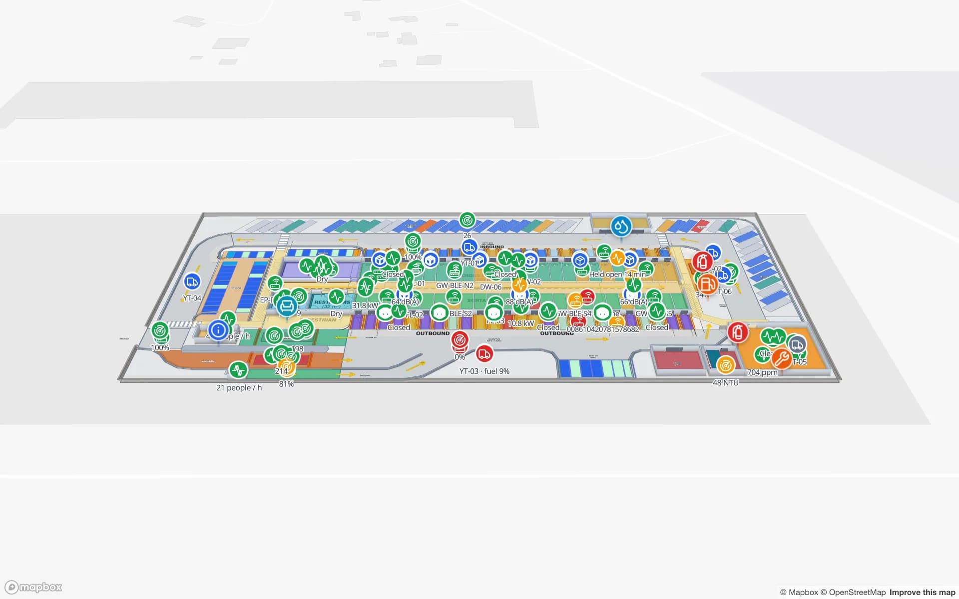
Industrial land is scarce, so many Singapore warehouses are multi-storey ramp-up or cargo-lift buildings, in estates such as Jurong, Tuas and around Changi. A flat floor plan is not enough when the question is which level a pallet is on and which lift it will come down.

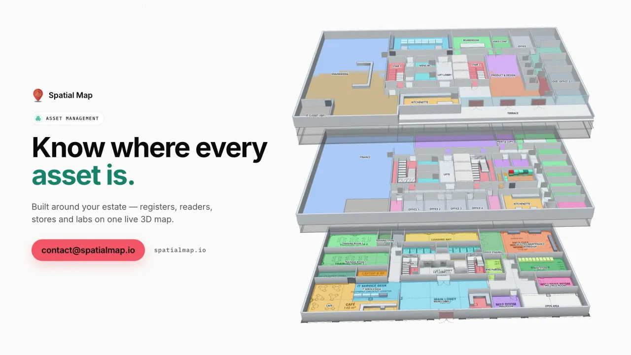
Spatial Map models every floor in 3D with stairs, ramps, lifts and escalators, and data links are scoped per floor, so racks on level 3 are coloured from the WMS rows that belong to level 3. Wayfinding builds walking routes around walls and through doors; routes stay on one floor.

A transhipment hub by sea and air

The Port of Singapore is one of the world’s busiest transhipment hubs, with container operations consolidating over the coming years at the new Tuas Port, and Changi Airport is a major air-cargo hub with its Changi Airfreight Centre. Around both sit distribution centres, bonded warehouses and cross-docks where freight changes hands quickly.

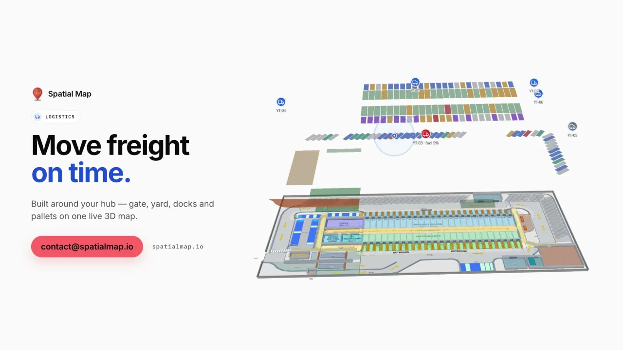
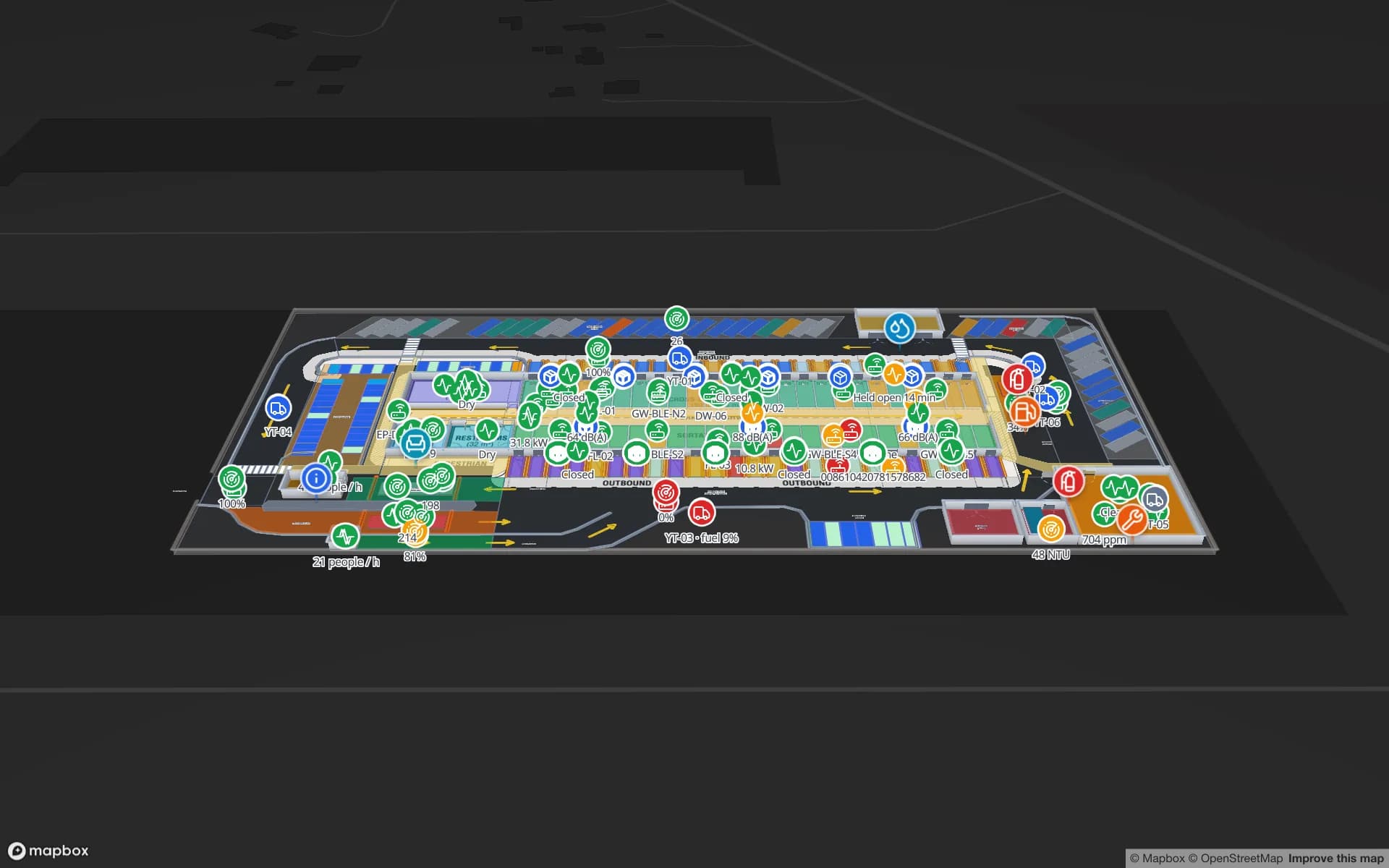
On the map, dock doors, staging lanes and yard slots are coloured by your yard or WMS data, and RFID-tagged pallets are followed door to door. The Eastport Cross-Dock demo shows 50 dock doors, 44 yard slots and 1,180 RFID pallets in one view.

Pharmaceutical and biomedical manufacturing

Singapore has built a large pharmaceutical and biomedical manufacturing base, with plants in areas such as the Tuas Biomedical Park. Cold rooms, freezers, quarantine areas and QC labs all need to be watched, and the people on shift need to see where a held batch physically is.

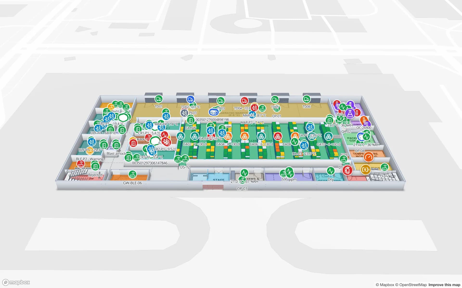
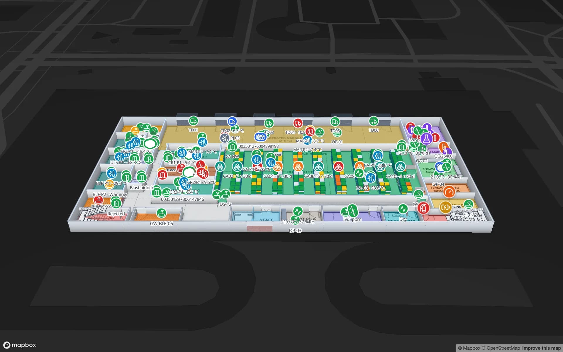
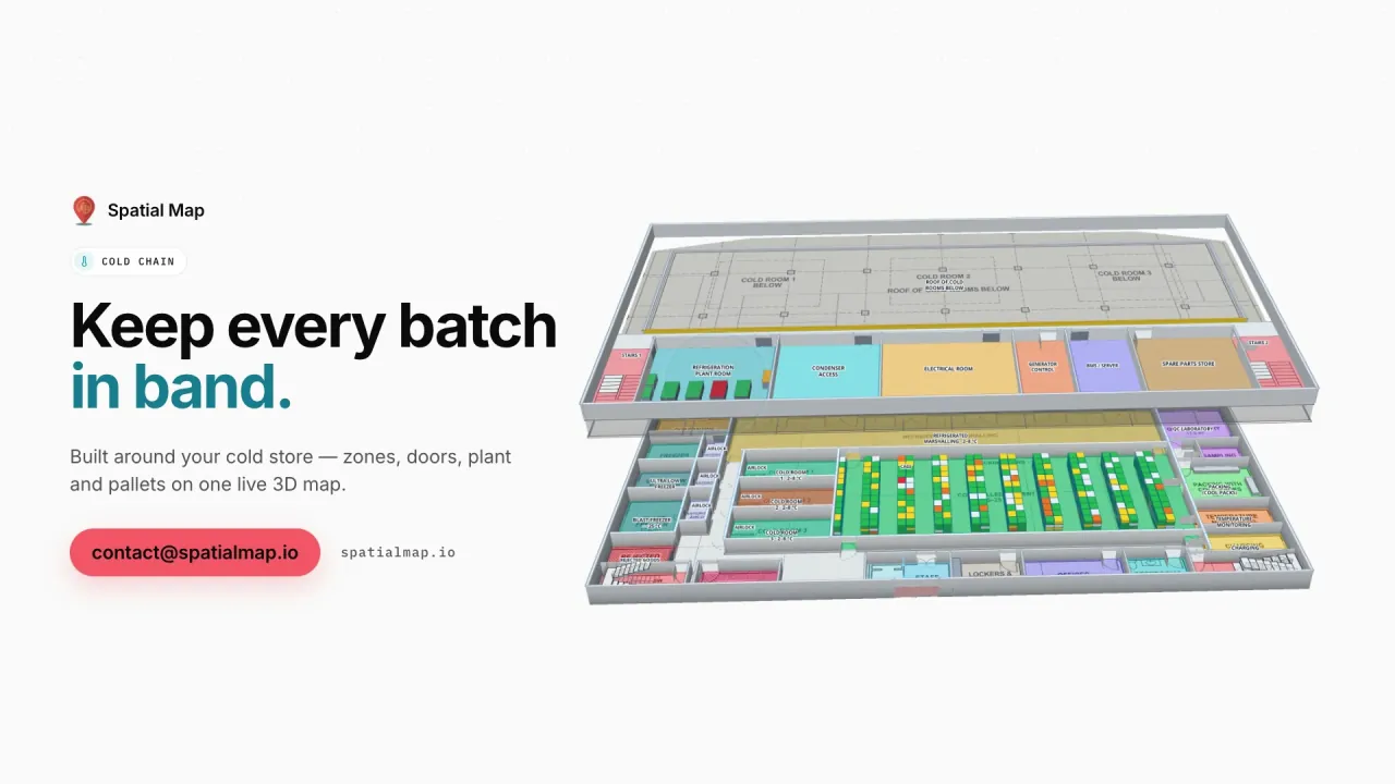
Spatial Map colours each room by the live reading from your sensors, marks pallets on hold and replays recent changes. Your GMP quality system remains the record; the map makes the building’s state visible. The Polar Pharma demo shows cold rooms, a QC lab and 1,140 rack locations.

Smart Nation, PDPA and languages

The government’s Smart Nation initiative has made sensors, digital twins and data-driven buildings familiar ideas in Singapore. Where location data relates to individuals, the Personal Data Protection Act (PDPA) and the PDPC’s guidance are the context; your legal advisers decide what applies. A data processing agreement is available and the security page describes how data is protected.

The interface is available in English and Chinese, among six languages, so Mandarin-speaking supervisors can work in Chinese while the rest of the team uses English. It is not available in Malay or Tamil. Room names, rack codes and report titles appear exactly as you write them, in any script.

How Spatial Map does it

From floor plans to a live multi-storey map

  1. 01

    Upload every floor

    A PDF or DWG (AutoCAD R2004–R2018) per level, placed at real-world scale and stacked in 3D.

  2. 02

    Draw halls, racks and lifts

    Cabinets and racks with their locations, cold rooms, ramps, stairs, lifts and docks.

  3. 03

    Connect assets and sensors

    Your DCIM, WMS or RFID middleware posts rows to a table, or Spatial Map polls its REST endpoint.

  4. 04

    Share with customers

    Read-only links per cage or floor, history playback and reports in PDF or Excel.

What Singapore teams use it for

Data-centre assets and cages

Cabinets, IT assets and spares tied to where they sit, with RFID at the doors.

Multi-storey warehouses

Rack-level stock on every level, with lifts and ramps in 3D.

Transhipment and air-cargo cross-docks

Dock doors, yard slots and pallets staged for the right outbound load.

Pharma cold rooms and QC

Temperature zones, quarantine areas and held batches in place.

Corporate campuses

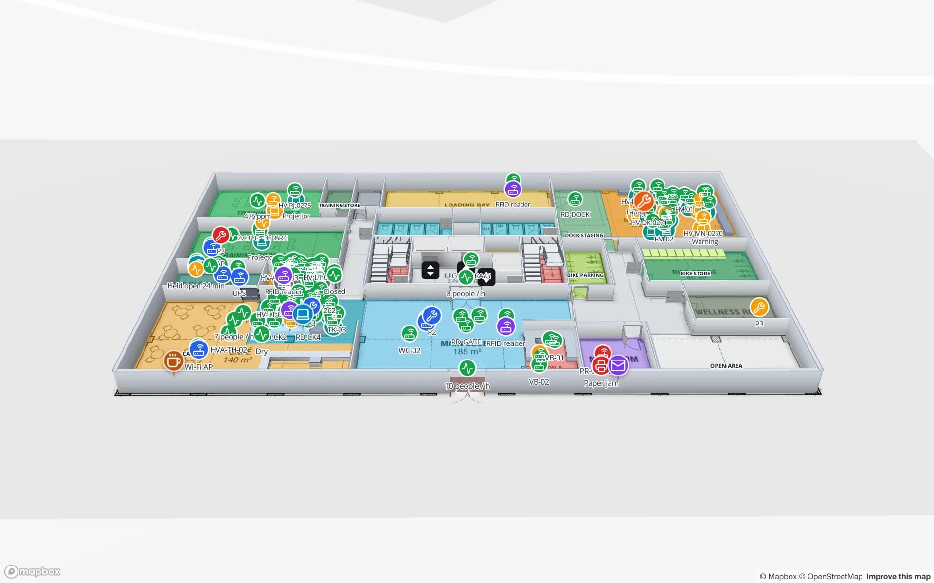
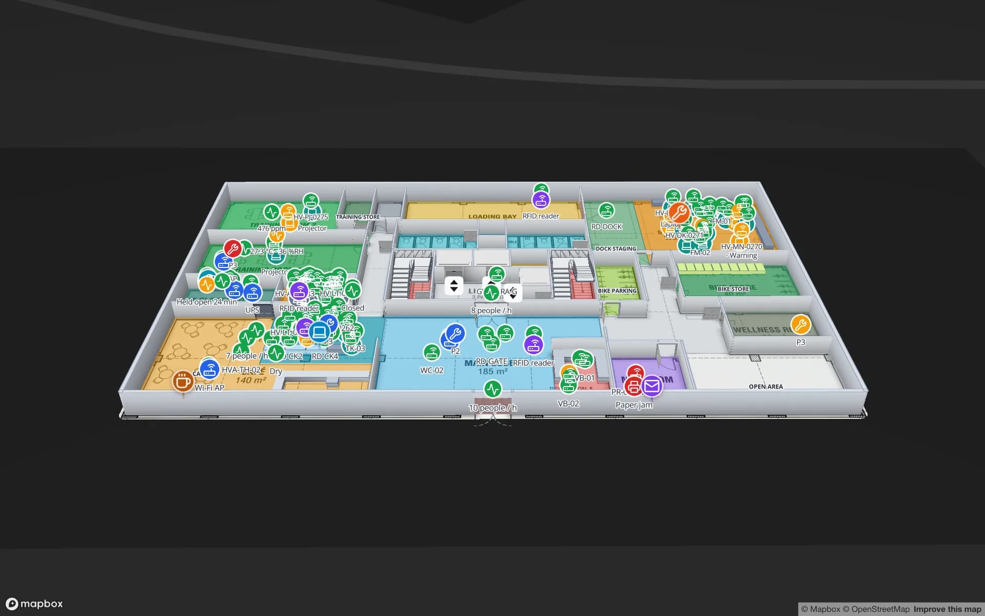
Tagged equipment, meeting rooms and work orders across office floors.

See it on real demo facilities

Fictional names, real floor plans, live sensors, RFID, BLE tags and gateways — open any of them in the browser.

All 13 demo facilities

Questions from Singapore teams

English and Chinese, plus Spanish, French, German and Arabic; each user picks their own. Malay and Tamil are not available. Your own content — room names, rack codes, report titles — can be in any language.

Yes, through read-only share links: you choose the floors and layers, set an expiry and a view cap, and can revoke the link at any time. The viewer does not need an account.

Each level has its own floor plan, stacked in 3D and connected by stairs, ramps, lifts and escalators. Data links are scoped per floor, so each level shows its own rows.

The PDPA is context for your project when data relates to individuals; your legal advisers decide what applies. Spatial Map only shows the data you send it, roles limit who sees each facility, and a data processing agreement is available.

No. Spatial Map is sold online and our team works with customers remotely, by video call and through the contact form, in English or Chinese.

The same worldwide, in US dollars: a 7-day free trial for up to 5 facilities with no credit card, then Pro at $60 a month or $600 a year for up to 4 facilities. Larger estates are quoted as custom services.

Map your first Singapore site this week.

Start the free trial in English or Chinese, or send us your floor plans and a sample of your asset or WMS data through the contact form.