Kocaeli · Gebze, GOSB, İzmit Bay and Derince

Asset tracking in Kocaeli, along 48 km of industrial bay

Spatial Map shows where tagged equipment, instruments, returnable vessels and other assets are on a live 3D map of each building, using the reads and positions your RFID and BLE systems already produce. Asset tracking in Kocaeli is shaped by geography: the province’s industry is strung along the Gulf of İzmit, about 48 km from east to west, with Gebze at one end and İzmit at the other, so the assets that matter move between plants, workshops and port yards. Each building is its own facility, and one workspace can hold them all.

No credit card. Runs in the browser. Pro is $60/month for up to 4 facilities. Book a demo

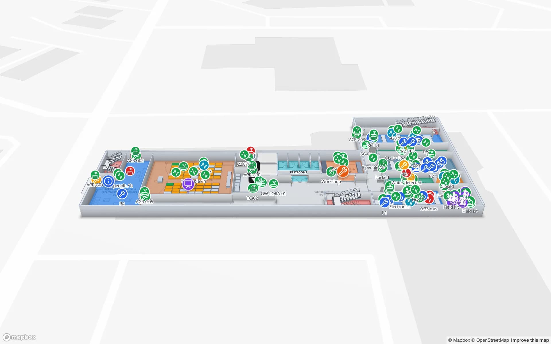
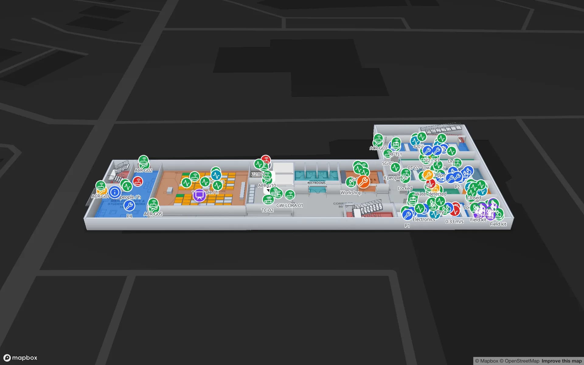
Harborview Corporate Campus — Building A, a corporate office building demo, in the Spatial Map 3D viewer with live device markers
Harborview Corporate Campus — Building A
Harborview Corporate Campus, a demo office building: the asset register, equipment check-out, stores and spares and work orders on three floors.
Floors in the Harborview demo
3
Tables in the Harborview demo workspace
22
How often alert rules are checked, with alerts shown in the app
15 s
Free trial, up to 5 facilities, no card
7 days

A bay lined with industry, close to Istanbul

The Gulf of İzmit runs about 48 km from east to west, 2 to 3 km wide at its narrowest and about 10 km at its widest, and the Osman Gazi Bridge spans it. Gebze, at its western end, is about 65 km south-east of Istanbul. It is the largest district in Kocaeli by population, with 407,019 residents in 2022, and the Marmaray line links it to the European side of Istanbul. The province as a whole had 2,102,907 inhabitants in 2023. Around İzmit, reference works list an oil refinery, paper and cement factories, and vehicle and tyre makers, and the town sits on the main road and rail lines between Istanbul and Ankara.

For asset tracking that geography matters more than any single plant. A calibration set, a test rig, a pump or a trailer is borrowed by a plant 30 km away and comes back late, and the first question is which building it is in. Model each building as a facility, put one register table across all of them with a column for the site, and the map shows every item’s last-seen building and room. The Istanbul page covers the two shores of the city itself; this one starts where the Istanbul belt ends.


GOSB: 518 hectares with a technopark inside

The Gebze Organised Industrial Zone (GOSB) says its establishment was approved in 1985, that its first factory began production in 1990, that it was registered as number 1 under Law No. 4562 in 1994 and that its technopark opened in 2005. It covers 518.34 hectares today, according to the zone’s own history page.

A zone this big has a common register problem: equipment that belongs to one company, sits in another’s workshop and is serviced by a third. Tag the assets that travel, such as portable test instruments, torque and pressure gauges and tool sets, add a calibration-due date to the table, and a style rule colours the ones that are overdue; the date is yours and Spatial Map makes no calibration or quality-system claim. Technopark laboratories add instruments and consumables of their own, mapped as in the Westbrook demo, with lab equipment bookings and chemical stores on two floors.

Returnable vessels, cylinders and containers

Plants that take in and send out liquids, gases and powders live on vessels that go home: intermediate bulk containers, drums, cylinders and returnable cages. They are cheap until they go missing, and each is worth tagging in a different way. A BLE tag or an RFID tag on the cage, read at the plant gate and at the filling station, records where it was last seen; the empties yard is drawn as an area, and a count rule raises an in-app alert if a customer’s pool drops below its minimum.

Here the map shows location and status only. It is not a hazardous-goods system, it makes no compliance claim, and the vessel’s contents and safety records stay in your own systems. The post on RFID tags for metal, liquids and apparel lists what to test on steel and wet surfaces before you buy, and asset tracking explains how tags, gateways and zones fit together.

Derince and the yards where vehicles wait

Derince is a seaport on the bay run by the state railways. It is widely used for finished vehicles, has one of the largest storage areas in the region and has a rail network inside the port. A port yard has its own assets: yard tractors and trailers, forklifts, car-transporter wagons, lashing gear and the pallets and cages that come with them.

The Eastport demo has exactly that layer, with yard tractors, trailer slots, a gate and a weighbridge; see the cross-dock and yard post. A BLE tag on a trailer or a gateway on a tractor puts it in a yard area, and the History player replays where it went. Spatial Map does not connect to the port’s or the railways’ systems, so wagon and vessel data arrive only if your own system posts them.

A register that outlasts a bad day

On 17 August 1999 an earthquake of magnitude 7.6 struck this coast, and Kocaeli Province recorded more deaths than any other. Anyone who runs a plant here knows recovery planning. A map is not an emergency system and cannot predict anything, and your safety procedures remain the formal record.

What a register does offer is a plain answer to “which room holds which equipment, and what else is in that room?”: a dated list per building that you can export to PDF or Excel and keep outside the plant. Row history keeps each change, so the position at any past date can be shown.

Services for teams in Kocaeli

Kocaeli teams tend to follow this order:

Also served nearby

The same approach covers İzmit, Gebze, Darıca, Çayırova, Dilovası, Körfez, Gölcük and Derince. Nothing needs to be installed at any of them: the map opens in a browser.

How Spatial Map does it

Building a Kocaeli asset map

  1. 01

    Load the asset register

    Upload a CSV or Excel list with tag IDs, owner, home site and calibration or return dates as a table.

  2. 02

    Map each building

    Import every plan, align it, and draw stores, workshops and yards as areas named like your gateways and readers.

  3. 03

    Connect reads and positions

    RFID middleware, BLE gateways and your ERP post rows via the write API or a polled REST endpoint.

  4. 04

    Add overdue and silence rules

    In-app alerts for instruments overdue at a borrower, vessel pools below their minimum and tags that stop reporting.

Where Kocaeli teams track assets

Shared instruments and tool sets

Last-seen building and room, with overdue calibration dates coloured on the plan.

Returnable vessels and cages

Pools at the plant, the empties yard and the customer, with a count against each.

Port yard equipment

Tractors, trailers and forklifts in yard areas, replayed with the History player.

Technopark and lab equipment

Instruments, bookings and stores by room across a lab floor.

See it on real demo facilities

Fictional names, real floor plans, live sensors, RFID, BLE tags and gateways — open any of them in the browser.

All 13 demo facilities

Asset tracking in Kocaeli — questions we get

Yes. Each building is a facility in one workspace and a single table can hold the whole register, with a column for the site. Roles decide who in your team sees which facility, and a read-only share link can give a contractor one site with an expiry date.

Often RFID at the plant gate and the workshop door, where an item leaves and returns, and BLE for the few high-value items you want to find between reads. Spatial Map shows either, as long as your system sends a tag ID with a read point, zone or position.

No. It shows where each item is and can colour overdue dates from a column you maintain. Your quality or maintenance system stays the record, and Spatial Map makes no calibration, safety or compliance claim.

Yes. Put the customer in a column, filter by it, and give the customer a read-only share link limited to the floors and layers you choose, with an expiry date and a view cap. Personal data is not needed for this; most projects tag equipment rather than staff.

Not yet. The app is available in English, Arabic, Chinese, French, German and Spanish, and each user picks their own. Tool names, plant areas and report titles you write can be in Turkish.

No. Spatial Map is sold online and our team works with customers in Türkiye remotely, by video call and through the contact form. There are no local resellers or partners.

In US dollars, the same worldwide: a 7-day free trial for up to 5 facilities with no card, then Pro at $60 a month or $600 a year for up to 4 facilities. Larger estates are quoted as custom services.

Track one shared-equipment pool first.

Start the free trial and open the Harborview demo, or send us your instrument or vessel list and the plan of a plant through the contact form.