Türkiye · Istanbul, on both sides of the Bosphorus

Indoor mapping and RFID tracking in Istanbul

Spatial Map does indoor mapping and RFID tracking in Istanbul on one live 3D map per building: stock by bin from your WMS, RFID reads at the dock doors and sensors in the cold rooms. Istanbul is a logistics city split by the Bosphorus — warehouse districts on the European side around Hadımköy and Esenyurt, others on the Asian side around Tuzla and towards Gebze, and two airports, one on each side. A single workspace holds the sheds on both banks, so the planner in one sees what the shift lead sees in the other.

No credit card. Runs in the browser. Pro is $60/month for up to 4 facilities. Book a demo

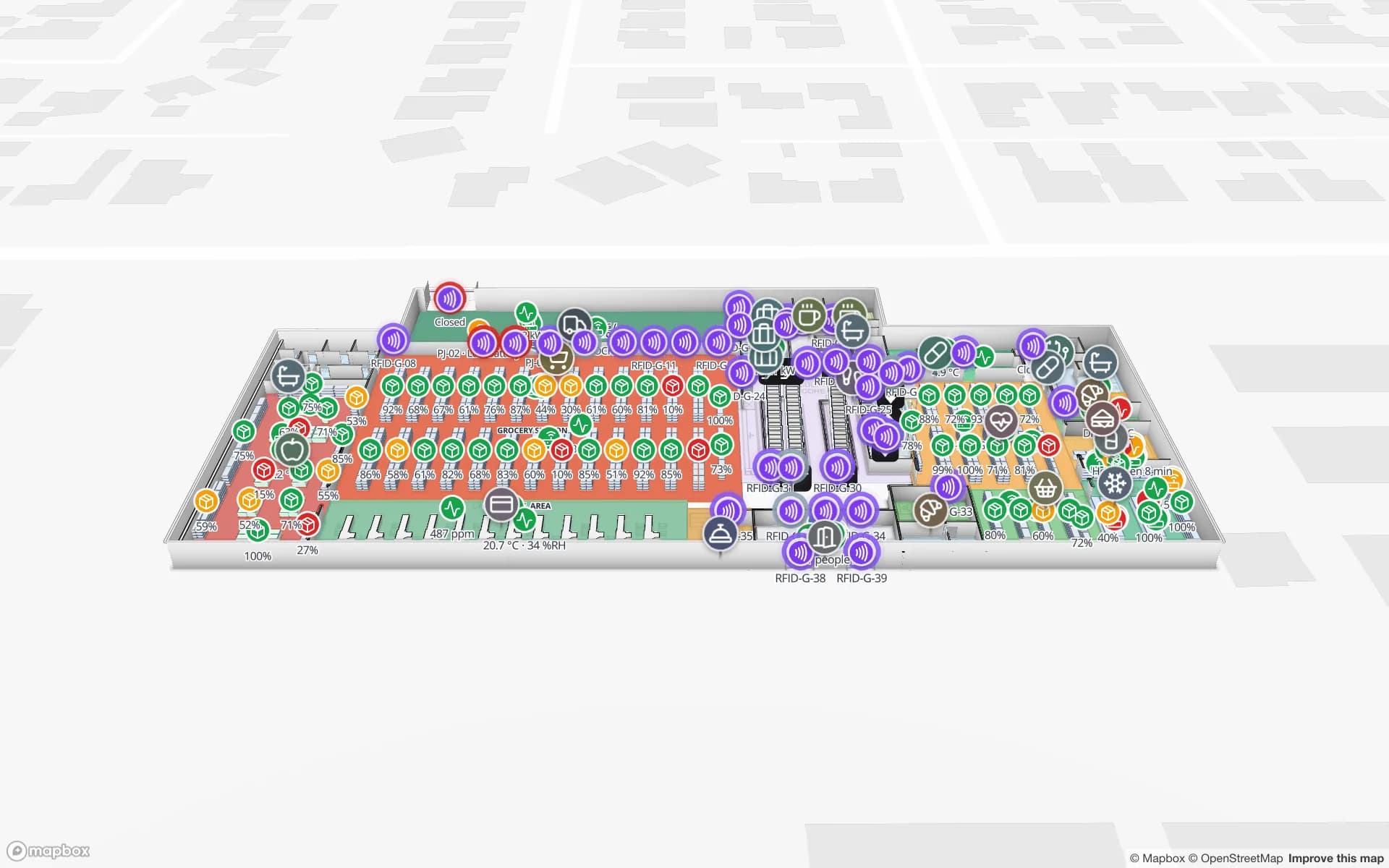
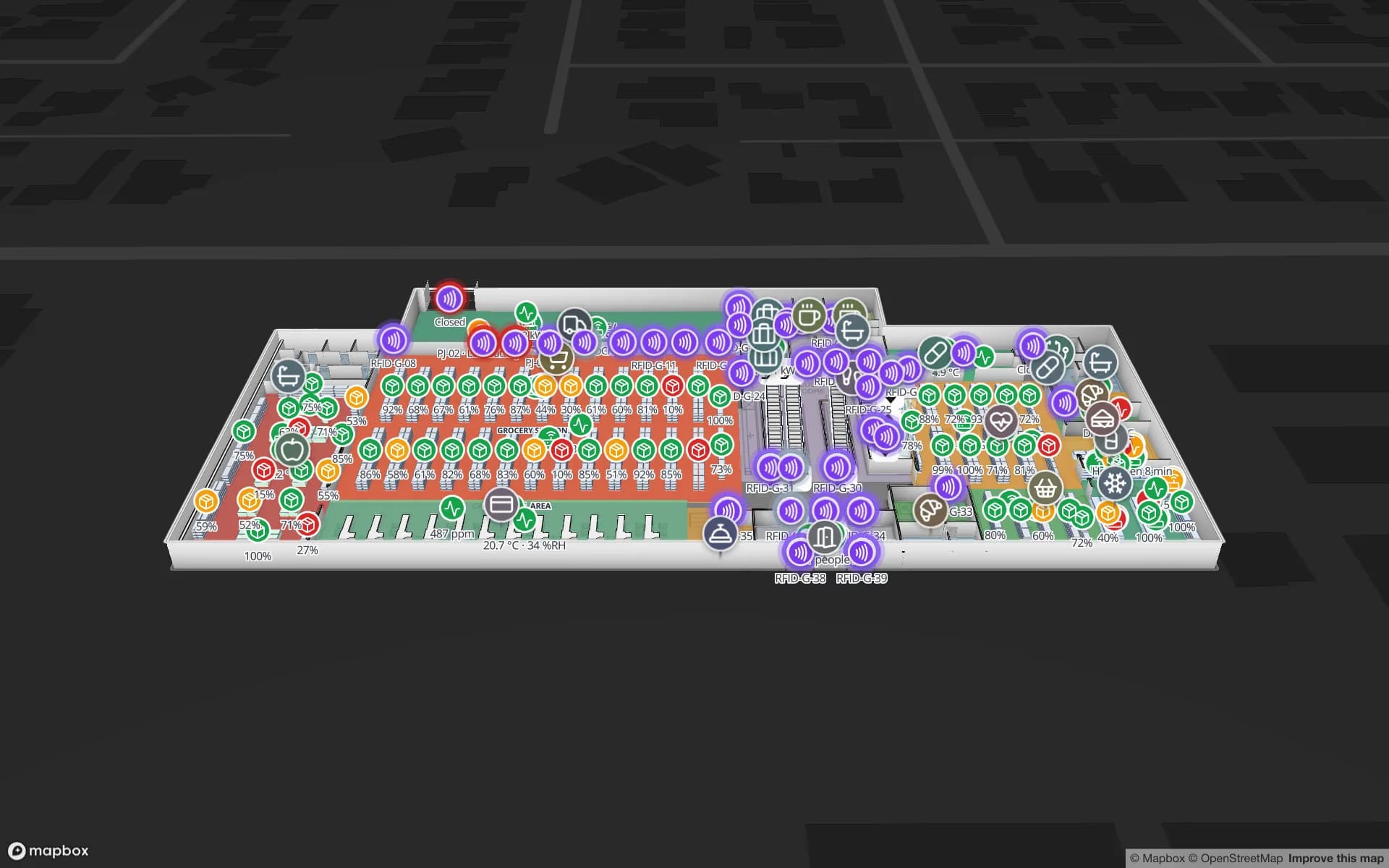
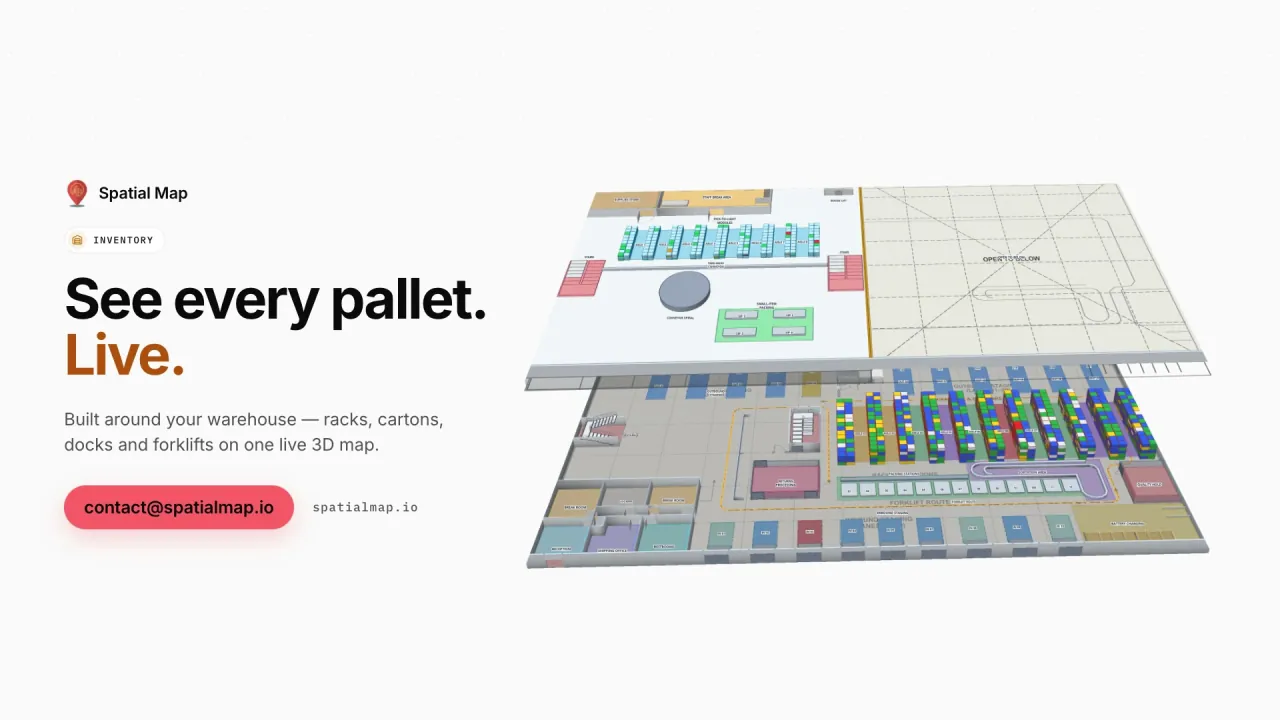
Inventory film: “See every pallet. Live.” beside the two floors of Crestline Fulfillment Center in 3D
The Inventory film: Crestline Fulfillment Center in 3D with RFID cartons moving live, then every rack location coloured full, OK, low, empty or blocked.
Rack locations in the Crestline fulfilment demo
2,204
Demo facilities to explore in the browser
13
Interface languages (no Turkish yet)
6
Free trial, up to 5 facilities, no credit card
7 days

Two shores, two warehouse belts

On the European side, warehouse demand is concentrated in districts such as Hadımköy, Esenyurt and the area around Ambarlı, close to the TEM motorway and the road to Edirne and the European border. On the Asian side, Tuzla and the industrial zones running into Gebze in Kocaeli host logistics centres serving chemicals, FMCG and automotive industries. Many operators run sheds on both sides and move freight between them across the Bosphorus bridges.

Spatial Map keeps each shed as a facility in one workspace, with racks coloured from your WMS stock by bin, RFID-tagged pallets and cartons at the dock doors and forklifts as live markers. Group a client’s sheds on both shores into a solution and give it a read-only link — useful when the client’s team sits in Germany or the Gulf and works in German or Arabic.


Istanbul Airport cargo and Sabiha Gökçen

Istanbul Airport, north of the city on the European side, replaced Atatürk Airport and is home to one of the world’s largest air-cargo hubs, run by the national carrier. Sabiha Gökçen serves the Asian side. Forwarders’ sheds and bonded stores around both handle e-commerce parcels, pharmaceuticals and perishables in transit between continents.

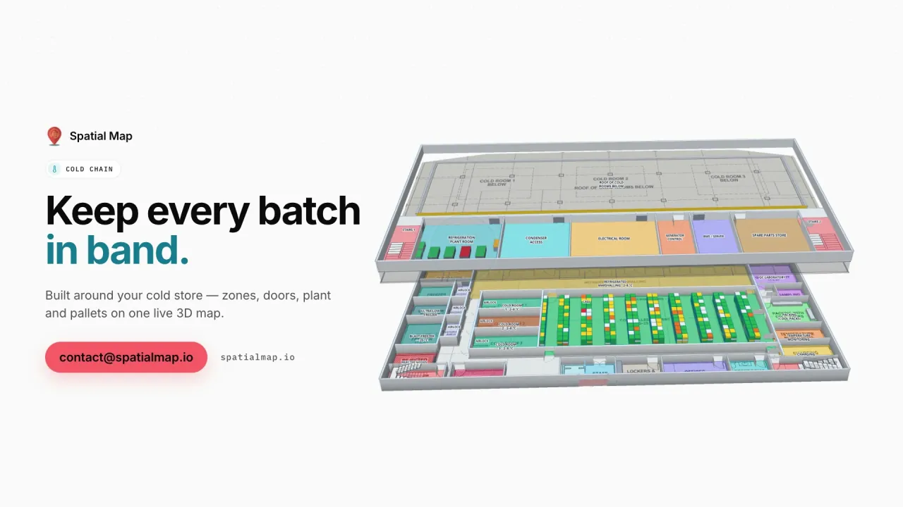
In a forwarder’s shed, build-up areas, cool rooms and secure cages are drawn on the plan and carry their status; temperature-sensitive shipments sit in the room that holds them, coloured by the latest reading, and an in-app alert fires when a room stays out of range. The Polar Pharma demo shows the cold-room pattern.

Bonded warehouses and export trucks

Much of Istanbul’s trade with Europe leaves by truck, and goods often wait in a bonded warehouse (antrepo) under customs control before they are cleared or re-exported. Since the Yavuz Sultan Selim Bridge opened in the north, heavy goods vehicles crossing between the two sides have been routed over it and the Northern Marmara Motorway rather than through the city.

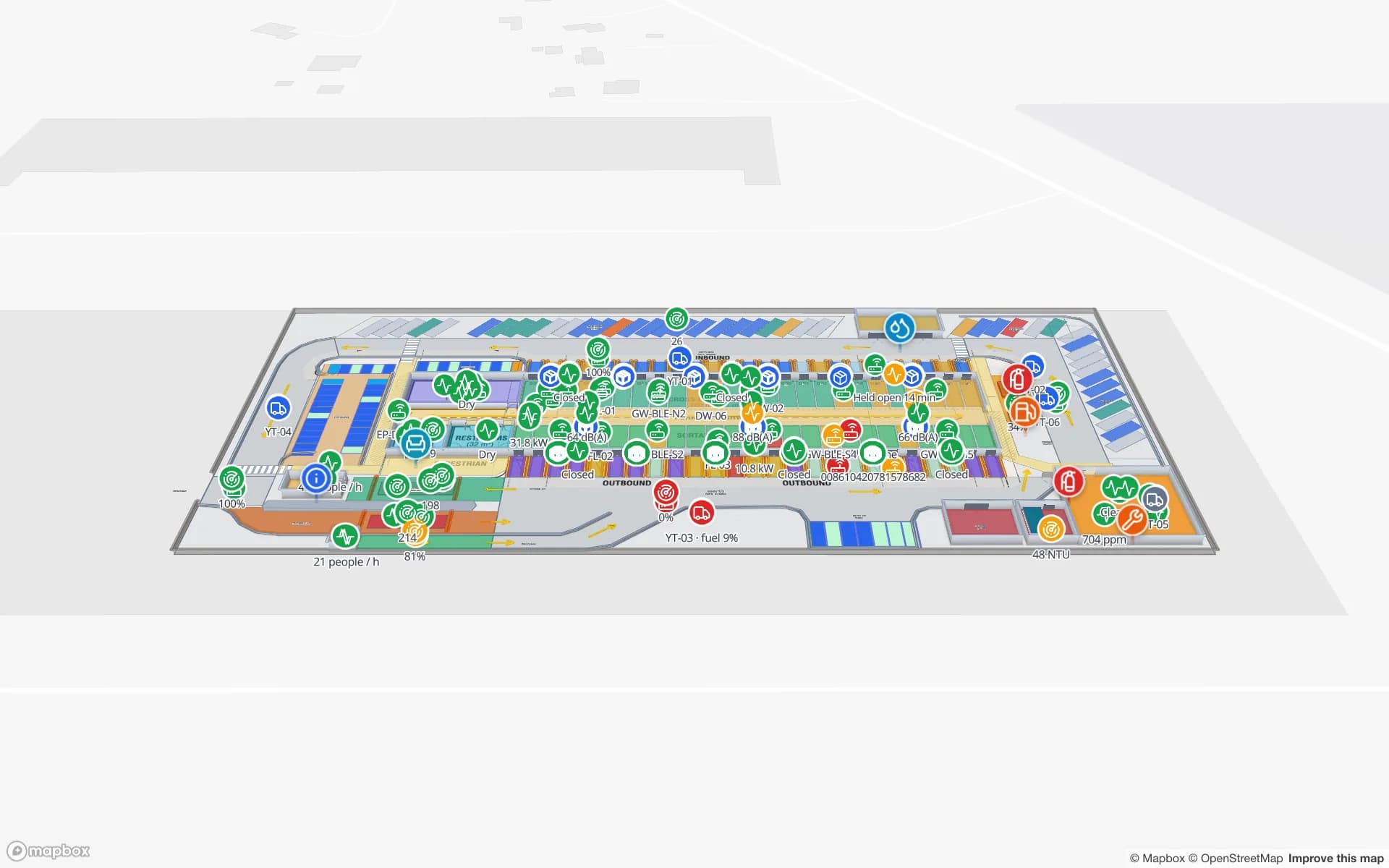
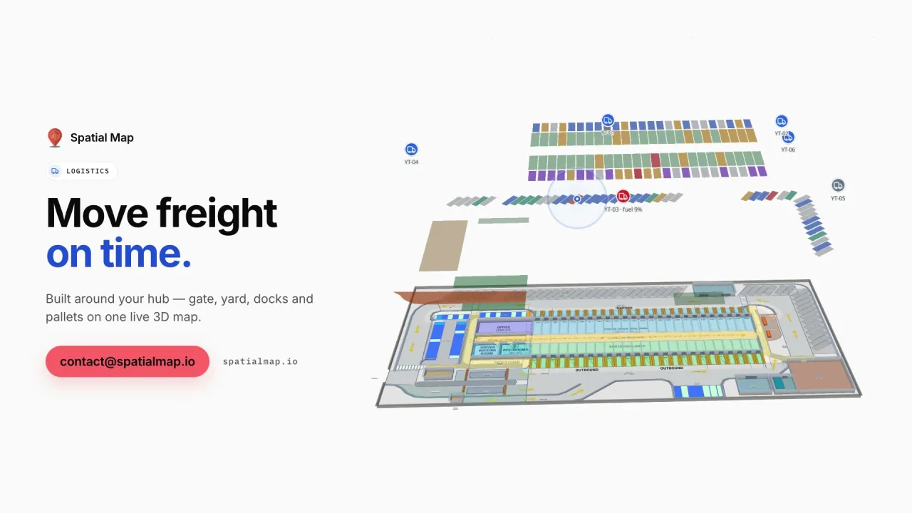
Spatial Map does not hold customs records or connect to customs systems. What it can show is where held goods physically are: a bonded zone drawn on the plan, coloured by the status your WMS keeps, with RFID pallets read in and out and every movement kept in row history, as in the Eastport Cross-Dock demo.

E-commerce fulfilment for a city of millions

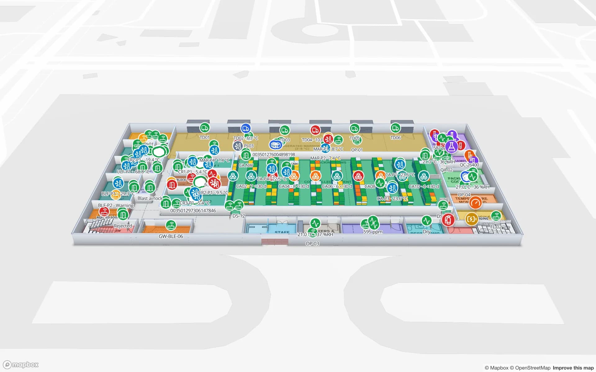
Istanbul is one of Europe’s largest cities, and fast delivery has filled its edges with fulfilment centres and urban hubs. Pick faces, packing stations, staging lanes and dispatch doors change with every campaign. In Spatial Map the rack grid keeps its locations while zones are redrawn in minutes, and the Crestline Fulfillment demo shows 2,204 rack locations, pick-to-light and packing output on one map. A heatmap of picks weighted by a number field shows where the floor is busiest, one floor at a time.

Malls with metro stations and deep car parks

Istanbul has many large malls, several connected to metro stations and built over multi-level car parks. Visitors want the right exit, the lift to their parking level and a step-free way between them; centre teams want footfall by entrance and service corridors. Wayfinding builds routes across floors through stairs, lifts and escalators with Fastest, Step-free and Other route options, and footfall from your counters shows as a heatmap that stops at walls.

KVKK, VERBIS and transfers abroad

Where location data relates to people, KVKK is the context, and data controllers in Türkiye may need to register with VERBIS, the data controllers’ registry. Rules on transferring personal data abroad were revised in 2024. Your legal advisers decide what applies; most warehouse projects tag pallets, cartons and equipment rather than staff, which keeps personal data out of the map. A data processing agreement is available and the security page explains how data is protected. The interface is not available in Turkish; your own names and labels can be.

How Spatial Map does it

Mapping sheds on both shores

  1. 01

    One facility per shed

    Upload each plan as PDF or DWG and draw racks, docks, bonded zones and cool rooms.

  2. 02

    Connect WMS and readers

    Your WMS and RFID middleware post rows to a table, or Spatial Map polls a REST endpoint.

  3. 03

    Group by client

    Put a client’s European- and Asian-side sheds in one solution with a read-only link.

  4. 04

    Watch and report

    In-app alerts on rules, pick heatmaps and reports in PDF, Excel, CSV or JSON.

What Istanbul teams map

Fulfilment centres

Rack-level stock, pick-to-light, packing and dispatch doors.

Bonded warehouses

Held goods by zone, RFID pallets in and out, full history.

Airport cargo cool rooms

Temperature-sensitive shipments by room, with in-app alerts.

Malls over car parks

Step-free routes between parking levels, exits and shops.

See it on real demo facilities

Fictional names, real floor plans, live sensors, RFID, BLE tags and gateways — open any of them in the browser.

All 13 demo facilities

Istanbul — frequently asked questions

Yes. Each shed is a facility in the same workspace. Group them into a solution per client or business line, and switch between them in the viewer; read-only links can cover one shed each.

No. Customs records and declarations stay in your customs and WMS systems. Spatial Map shows where held goods physically are — a bonded zone on the plan coloured by the status your WMS keeps — and the history of RFID reads in and out.

Tags on pallets, cartons and equipment do not identify anyone. KVKK becomes relevant when reads are linked to a person, for example a staff badge, and VERBIS registration may then matter. Your legal advisers decide; a data processing agreement is available.

Yes. Wayfinding routes across floors through lifts, escalators and stairs, with a Step-free option, turn-by-turn steps and walking minutes, on read-only share links. There is no live blue dot for the visitor.

Not yet. It is available in English, German, French, Spanish, Arabic and Chinese. Room names, rack codes and report titles can be written in Turkish, with Turkish characters.

No. Spatial Map is sold online at the same USD price worldwide — Pro at $60 a month or $600 a year for up to 4 facilities, after a 7-day free trial — and our team works with customers remotely through the contact form.

Map your Istanbul sheds, on both shores.

Start a free trial and open the Crestline and Eastport demos, or send us a floor plan and a sample of your WMS or RFID data through the contact form.