
BLE vs UWB vs Wi-Fi for RTLS: accuracy, cost and infrastructure
BLE vs UWB vs Wi-Fi for real-time location: typical accuracy, tag battery and cost, infrastructure and installation effort, and how to choose for your site.
BLE vs UWB vs Wi-Fi: the short answer
BLE vs UWB is mostly a trade between cost and precision. BLE (Bluetooth Low Energy) is cheap, low-power and widely supported, and typically locates tags to a room, a zone or a few metres. UWB (ultra-wideband) uses precise timing to locate tags to tens of centimetres in published tests, but needs denser, carefully installed anchors and costs more. Wi-Fi positioning can reuse your existing access points, at the coarsest accuracy of the three.
None of them is "best". The right choice depends on what decision the position supports. Finding a cart on the right floor needs far less precision than keeping a forklift in its lane. This guide compares the three for real-time location systems (RTLS).
How each technology finds a tag
- BLE. Tags broadcast short messages. Gateways or locators measure how strong each message is (RSSI), or, with Bluetooth direction finding, the angle it arrives from (angle of arrival, AoA). Software turns that into a zone or a position.
- UWB. Tags and anchors exchange very short pulses and measure their travel time precisely. Because distance comes from time rather than signal strength, UWB is far less affected by fading, which is where its accuracy comes from.
- Wi-Fi. Access points or devices measure signal strength, or on newer hardware the round-trip time of a message (Wi-Fi RTT, also called fine timing measurement). Many deployments use the access points that already provide network coverage.
BLE vs UWB vs Wi-Fi at a glance
| BLE | UWB | Wi-Fi | |
|---|---|---|---|
| Typical accuracy (published, hedged) | Room or zone; about 1–5 m with RSSI; sub-metre claims with AoA | About 10–30 cm | About 5–15 m with RSSI; 1–2 m claims with RTT |
| Tag battery life | Long: months to years | Shorter at high update rates | Shortest; Wi-Fi radios draw more power |
| Tag cost | Low | Higher | Moderate; may reuse phones or laptops |
| Infrastructure | Gateways or locators; sparse for zones, denser for coordinates | Dense anchors, precisely surveyed and synchronised | Existing access points, sometimes with extra ones |
| Installation effort | Low to moderate | High | Low if the Wi-Fi already fits |
| Update rate | Seconds is common | Many times a second possible | Seconds to tens of seconds |
| Phone support | All modern phones | Some recent phones | All phones, but RTT is not universal |
| Best for | Room-level asset finding, presence, large tag counts | Precise tracking of vehicles, tools, robots | Coarse location using existing network |
When BLE is enough
BLE is the default for most indoor asset tracking because tags are cheap and last a long time. If the question is "which room is the pallet jack in" or "which floor are the loan scanners on", a gateway per room or zone answers it, and the system can scale to thousands of tags. With a denser grid and an RTLS engine, BLE reaches a few metres, which is enough to say which aisle or bay.
The Bluetooth beacon tracking page explains gateway counts and zone versus coordinate setups. For how the accuracy methods differ, see how accurate are BLE beacons.
When UWB earns its cost
- Position decides an action. A tool must be at the right station, a vehicle in the right lane, a pallet in the right bay.
- Movement is fast. High update rates follow vehicles and robots without lag.
- The area is bounded. A production hall or yard section where dense anchors are practical.
- Tags are few and valuable. UWB tags cost more and need charging or battery changes more often.
UWB anchors need line of sight to the tags where possible, accurate positions in the survey and time synchronisation. Budget for the installation, not just the hardware. Many sites run UWB in a few precise zones and BLE everywhere else.
When Wi-Fi makes sense
Wi-Fi positioning is attractive because the infrastructure may already exist. It suits coarse questions, such as which building or wing a laptop or phone is in, and devices that already have Wi-Fi. Signal-strength methods are affected by the same fading and reflection that limit BLE, and access points are placed for network coverage rather than positioning, so accuracy is usually lower. Wi-Fi RTT improves this on supported access points and devices.
Dedicated Wi-Fi tags exist, but Wi-Fi radios draw more power than BLE, so batteries do not last as long.
Common mistakes when choosing RTLS technology
- Buying precision you will not use. Centimetre positions are wasted if the screen only ever shows which room an asset is in.
- Ignoring update rate. A tag that reports every 30 seconds to save battery cannot follow a moving forklift, whatever the technology.
- Forgetting floors. On multi-storey sites, the first test is whether tags are placed on the right floor. Signals leak through ceilings, stairwells and atria.
- Testing in an empty room. Results from an office or a demo stand rarely survive full racks, metal machines and busy shifts.
- Underestimating change. Moving racks or walls changes the radio environment. Fingerprinted BLE and UWB anchor layouts may need re-surveying.
How to choose
- 1Write down the decision
What will someone do with the position? Find, count, route, alert? The decision sets the accuracy you need.
- 2Set the accuracy as a percentile
For example, "the right room 95% of the time" or "within 1 m for 90% of readings". Averages hide bad cases.
- 3Count tags and battery effort
Thousands of tags push you towards BLE. A few dozen vehicles can justify UWB.
- 4Price the infrastructure
Anchors or gateways, cabling, power, network, survey and recalibration when the layout changes.
- 5Pilot in the hardest area
Metal racks, cold rooms and busy corridors show the real accuracy.
Positions from any of them on one map
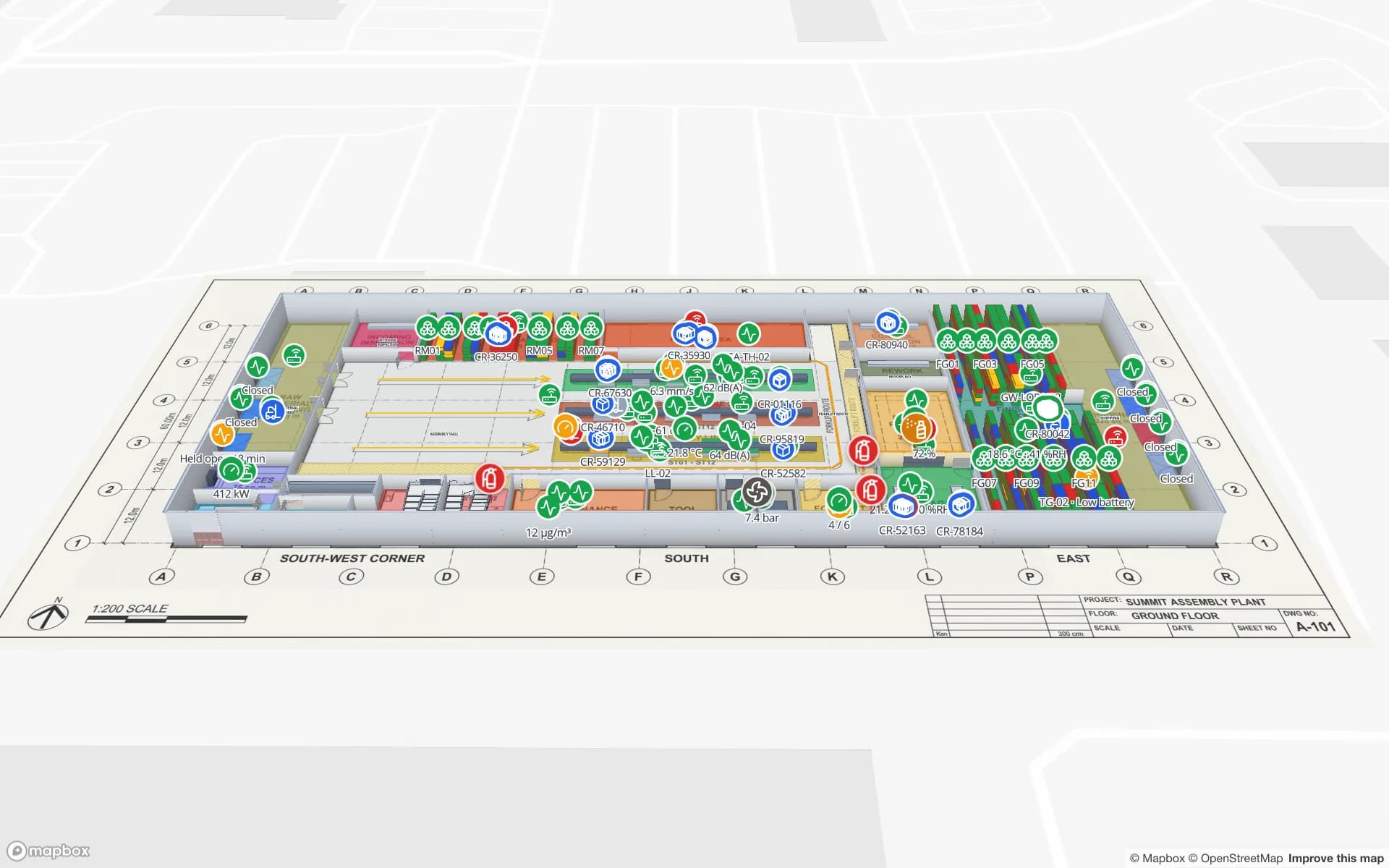
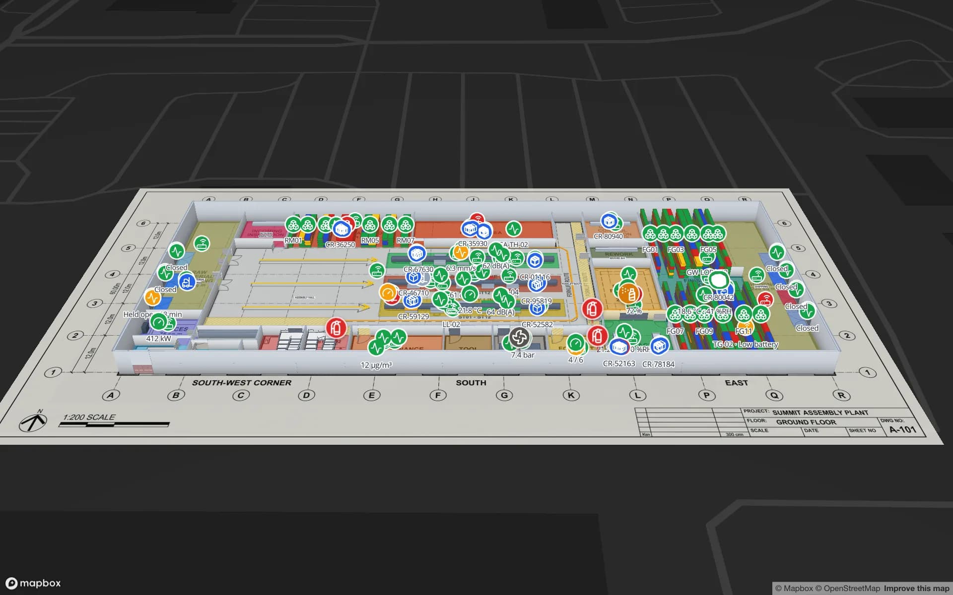
Spatial Map shows positions from any of these technologies on a live 3D floor plan. It does not compute positions itself. Your RTLS engine, gateway software or middleware writes each tag’s coordinates or zone to a Spatial Map table through the table write API, and a data link places it on the right floor. That means you can run BLE in one hall and UWB in another and still look at one map. Point layers can also be shown as indoor heatmaps to see where assets spend their time. The RTLS software page covers the full picture.
Quick answers
Is UWB better than BLE? UWB is more precise; BLE is cheaper, longer-lasting and easier to deploy. UWB is better only when the extra precision changes a decision.
Can BLE and UWB be used together? Yes. Some tags carry both radios, and many sites use BLE for broad coverage and UWB in a few zones that need precision.
Does Wi-Fi positioning need new hardware? Not always. Signal-strength methods can use existing access points; better accuracy usually needs RTT-capable access points or extra ones placed for positioning.
Try the platform your data belongs on.
Spatial Map turns spreadsheets, sensor streams, and CAD drawings into one live 3D facility view — nothing to install, seven-day free trial.
Keep reading
- ComparisonEAS vs RFID anti-theft gates: what each one tells youAn EAS gate knows something left; an RFID gate knows what left. How AM, RF and RFID gates compare, the trade-offs, and a step-by-step path from EAS to RFID.
- ComparisonRFID vs barcode for warehouse inventory: speed, cost and accuracyBarcodes are almost free but scan one at a time. RFID costs more but reads whole shelves at once. Where each one pays back, and how warehouses use both.
- ComparisonRFID vs BLE for asset tracking: how they differ and when to use bothPassive RFID is cheap and event-based; BLE is battery-powered and continuous. A side-by-side comparison, when each wins, and why many sites use both.