Asia-Pacific · Taiwan

Indoor mapping & RFID tracking in Taiwan, from port sheds to tech-park sites

Spatial Map is browser-based software for indoor mapping & RFID tracking in Taiwan: it turns warehouses, air cargo sheds, factories and offices into live 3D maps, with RFID reads, sensor readings and stock shown where they happen. Taiwan trades through a few gateways, the state-run ports with Kaohsiung the largest, the free trade zones beside them and Taoyuan airport, and it builds hardware in science parks from Hsinchu to Tainan. Each of those buildings can have its own map, and one workspace can hold all of them.

No credit card. Runs in the browser. Pro is $60/month for up to 4 facilities. Book a demo

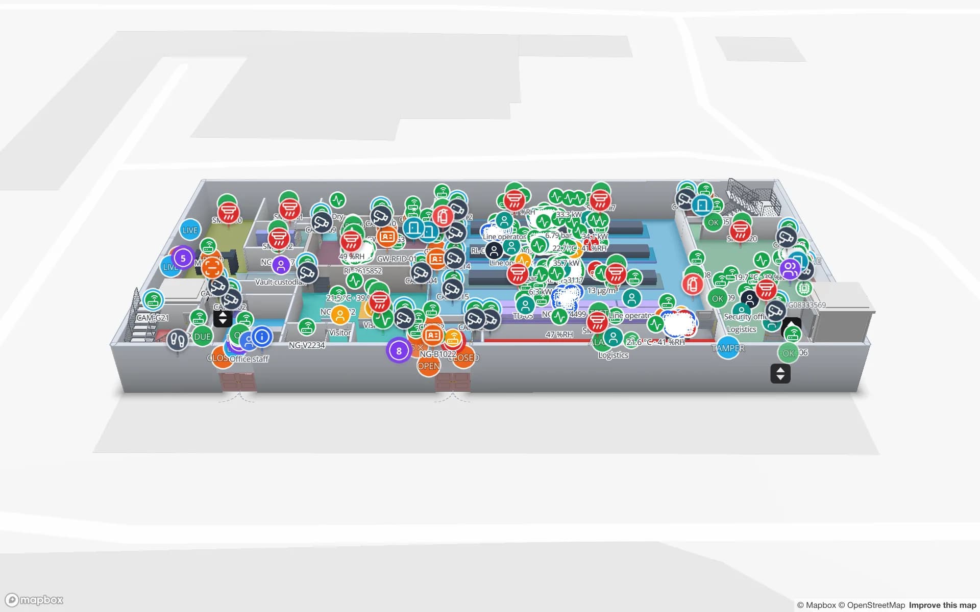
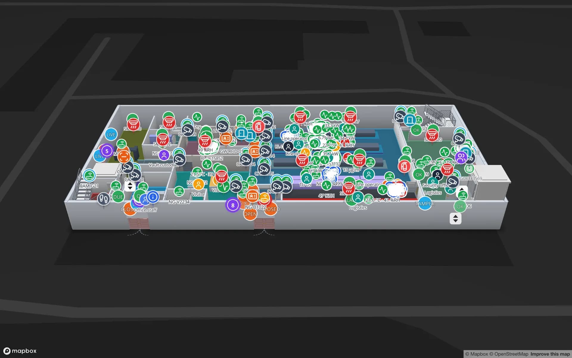
Eastport Cross-Dock Freight Hub, a cross-dock & trailer yard demo, in the Spatial Map 3D viewer with live device markers
Eastport Cross-Dock Freight Hub
Eastport Cross-Dock, a demo freight hub: 50 dock doors, 44 yard slots and 1,180 RFID pallets, with the gate and weighbridge.
Free trade zones in Taiwan: six at seaports and one at Taoyuan airport
7
RFID pallets moving through the Eastport cross-dock demo
1,180
Interface languages, including Chinese
6
Free trial, up to 5 facilities, no credit card
7 days

Gateways: state-run ports, free trade zones and Taoyuan

Taiwan International Ports Corporation, the state-owned harbour management company, runs the island’s international ports, and Kaohsiung is the largest of them. Trade press reported that the port’s seventh container terminal began commercial operations in May 2023. Behind those quays sit the buildings where cargo is actually handled: container freight stations, bonded sheds and distribution centres, each with its own docks, lanes and racks.

Under the Act for the Establishment and Management of Free Trade Zones, Taiwan counts seven free trade zones: six at seaports (Keelung, Suao, Taipei, Taichung, Anping and Kaohsiung) and one at Taoyuan airport. Customs gives the Taoyuan Aviation Free Trade Port Zone as 34.85 hectares on the airport’s north side, with roadway links to the aircraft aprons. The airport itself, about 40 km west of Taipei, opened in 1979, added its second terminal in 2000 and handled about 2.5 million tonnes of airfreight in 2025.

Inside a zone building the daily question is what stands where and in what status. Draw the bays as areas, post a row for each pallet or consignment from your WMS or RFID readers, and the map colours each bay by status. The Eastport demo shows 50 dock doors, 44 yard slots and 1,180 RFID pallets on one map. Spatial Map does not connect to customs, port or terminal systems; it shows what your own reads and records say, and the RFID warehouse page explains where readers go.


Science parks: the plant is context, the corridors are the work

Taiwan’s three science parks sit under the national science council. Hsinchu opened in December 1980 and is run by a Science Park Administration; the Southern Taiwan Science Park, with campuses in Tainan and Kaohsiung, dates from 1996; a third park lies in the Taichung area. They are the context for a lot of the island’s electronics and component manufacturing, and the buildings inside them keep growing.

Spatial Map does not connect to production equipment, and it is not a tool-automation or fab system. What it maps is the part around the machines: stores and cages for high-value parts, carriers and trolleys between stations, spare-parts rooms, contractor tool cribs and loading docks. The Summit Assembly demo follows 351 RFID work-in-progress carriers between stations with 867 rack locations and seven docks, and the Northgate Electronics demo tracks 863 RFID-tagged units through a secure store with a shrink report. Your MES or RFID middleware posts the rows; the map shows them in place.

Typhoon season and a habit of preparing

Taiwan’s Central Weather Administration normally issues a sea warning first, for hazardous conditions in the surrounding waters within about 24 hours, and then a land warning naming the localities in the storm’s outer rim, about 18 hours ahead. Facilities in ports and industrial areas have a routine for that window: stock lifted off low bays, dock doors closed, outdoor yards cleared, trailers moved.

Spatial Map does not read weather warnings. What it can hold is the routine: a table with one row per bay or yard slot and a status your team updates, coloured on the map so a supervisor sees at a glance what is still open. Door sensors show which dock doors are open, and an alert rule set to “not updated for N minutes” notices a sensor that has gone quiet. Alerts appear in the app only, not by email, SMS or push. The Polar Pharma demo shows door states and temperature zones together, and the guide to warehouse sensor alert rules covers the setup.

Language, scripts, hardware and personal data

The app’s interface is available in English, Spanish, French, German, Arabic and Chinese, and each user picks their own; check in the trial that the Chinese script fits your team. Your own content, such as bay names, rack codes, table columns and report titles, appears exactly as you type it, in any script. Users in one workspace can each use a different interface language.

Spatial Map does not drive readers itself. Your RFID middleware, RTLS engine or BLE gateways post rows through the table write API or expose a REST endpoint that Spatial Map polls, so the readers and the frequency band approved for Taiwan are chosen with your hardware supplier. Taiwan has its own personal data law, which is context for your project and for your legal advisers to assess; most projects tag stock, carriers and tools rather than people. A data processing agreement is available and the security page describes how data is protected.

Services for teams in Taiwan

Where teams usually start depends on the building:

  • Forwarders and logistics operators in port and airport zones usually begin with inventory tracking at dock doors, because a pallet in the wrong bay is a missed cut-off.
  • Plants and tech-park sites tend to begin with asset tracking for carriers, tools, fixtures and spare parts.
  • RTLS and UWB matters mainly for large yards and halls where vehicles and equipment must be located continuously; most buildings will not need it first.
  • Indoor maps of offices, campuses and exhibition halls are a good first project when no readers exist yet.
  • If you have no readers or tags, our team can source RFID, BLE and UWB hardware on request, quoted per project, with warranty and device support from the manufacturer: see hardware and demo kits on request. Where you need an Android RFID handheld app, an ERP or WMS integration or other custom software, our team builds it as a client project. The product itself runs as cloud or on-premises.

Also served

The same approach covers Taipei (see indoor mapping in Taipei), Kaohsiung, Taichung, Hsinchu, Tainan, Taoyuan and Keelung. Nothing needs to be installed at any of them: the map opens in a browser.

How Spatial Map does it

From port shed to live map

  1. 01

    Pick one building

    A bonded shed, an air cargo station, a plant store or an exhibition hall, wherever a missing item costs most.

  2. 02

    Upload and align the plan

    A PDF, DWG (AutoCAD R2004–R2018, placed as a picture) or image, placed at real scale; AI Map drafts walls, doors and racks for a person to review.

  3. 03

    Connect reads and records

    RFID middleware, WMS or MES rows arrive through the write API, REST polling or CSV, Excel and JSON uploads.

  4. 04

    Run it day to day

    Live status by bay, history playback, in-app alerts and reports exported to PDF, Excel or CSV.

What teams in Taiwan map first

Port and zone warehouses

Dock doors, yard slots and pallets staged for the right container, by bay status.

Plant stores and WIP carriers

Carriers between stations, raw-material racks and held lots.

High-value parts stores

Reels, trays and finished units read zone by zone, with a shrink report.

Exhibition halls and terminals

Halls with booth blocks, freight docks and step-free routes between them.

See it on real demo facilities

Fictional names, real floor plans, live sensors, RFID, BLE tags and gateways — open any of them in the browser.

All 13 demo facilities

Questions from teams in Taiwan

Yes. The app is available in English, Spanish, French, German, Arabic and Chinese, and each user picks their own. Check in the free trial that the Chinese script fits your team. Your own content, such as bay names, rack codes and report titles, can be written in any script.

No. It has no link to customs, port or terminal systems. It shows what happens inside your own building, from your own RFID reads, WMS or ERP and sensors, so it complements those systems rather than replacing them.

No. Spatial Map is not an equipment-automation system. It maps the stores, carriers, tools and docks around production, fed by the RFID, MES or WMS rows your own systems post to a table or expose over REST.

Keep a table with one row per bay or yard slot and a status your team updates, then colour the map by it. Door sensors show which dock doors are open, and an alert rule notices a sensor that stops reporting. Alerts appear in the app only, and Spatial Map does not read weather warnings.

No. Spatial Map is sold online and our team works with customers remotely, by video call and through the contact form. There are no local resellers or partners.

In US dollars, the same worldwide: a 7-day free trial for up to 5 facilities with no credit card, then Pro at $60 a month or $600 a year for up to 4 facilities. Larger estates are quoted as custom services; RFID hardware, if you ask us to source it, is quoted per project.

Put one Taiwan building on a live map this week.

Start the free trial and open the Eastport demo, or send us a plan of a shed, plant store or hall and a sample of your reads through the contact form.