Atlanta · The airport, convention halls and the I-75 and I-85 logistics belt

Indoor mapping in Atlanta: the airport, the convention halls and the distribution belt

Spatial Map is browser-based indoor mapping software: it turns a floor plan into a 3D map of every floor, with rooms, doors, lifts, escalators and stairs, and puts live data on top. Indoor mapping in Atlanta runs from the passenger airport that is the busiest in the world to convention halls the size of small towns and a ring of logistics buildings along the interstates, and each of them is mapped the same way.

No credit card. Runs in the browser. Pro is $60/month for up to 4 facilities. Book a demo

Silverbay International Airport — Terminal 2, a airport terminal demo, in the Spatial Map 3D viewer with live device markers
Silverbay International Airport — Terminal 2
Silverbay Airport, a demo terminal: check-in, security screening, gates, baggage reclaim and retail on two floors, with routes that cross floors by lift, escalator or stairs.
Floors in the Silverbay terminal demo
2
Floors in the Lakeside convention demo
2
App interface languages, including Spanish and French
6
Free trial, up to 5 facilities, no card
7 days

A terminal built around an underground train

Hartsfield-Jackson Atlanta International Airport has two terminals and seven concourses, T and A through F, joined by an underground automated people mover called the Plane Train. The airport has been the world’s busiest by passenger count since 1998, apart from 2020. Its fifth runway bridges Interstate 285, and the rental-car roadway spans Interstate 85, so the airport is part of the interstate network as much as the other way round.

Indoors, that layout is a wayfinding problem: a passenger, an agent or a contractor changes levels, rides the train and walks long concourses. Spatial Map draws every level in 3D and builds walking routes across floors through stairs, lifts and escalators, with a Fastest route, a Step-free route and an Other route, turn-by-turn and with walking minutes. The map does not show a live blue dot for a visitor. The Silverbay demo shows a terminal with check-in, security lanes, gates, lifts and escalators; airport indoor mapping and airport baggage RFID tracking cover what teams do with it.


Convention halls: a campus of rooms on the west side

The Georgia World Congress Center opened in 1976 with about 350,000 square feet of exhibit space, was extended with Building C in 2002 and sits on Atlanta’s west side near downtown and several interstates, according to the center’s own site. The authority that runs it describes more than a million square feet of exhibit space today. A building like that hosts several events in a month, each with its own booth layout, freight, sessions and crowds.

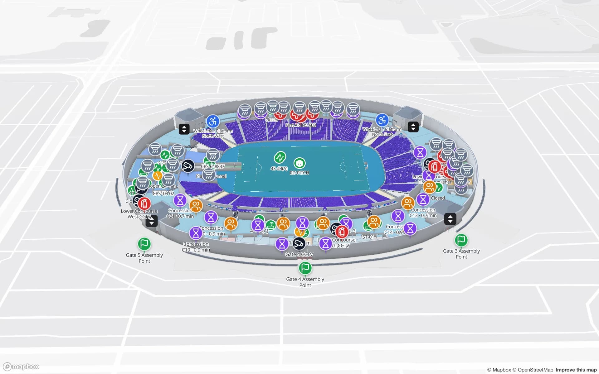
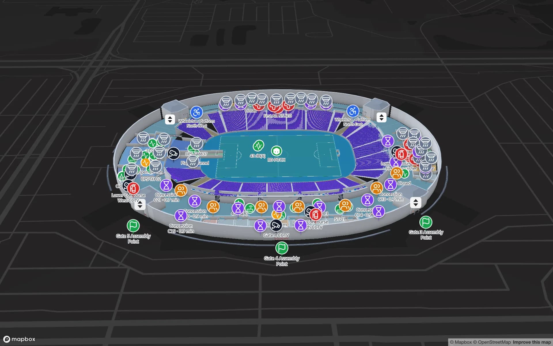
The Lakeside demo shows how: exhibition halls with booth blocks, session rooms and a plenary auditorium, registration and food outlets, loading docks and marshalling areas, each carrying live occupancy or bookings. Crate tags read from dock to booth show which exhibitor’s freight has arrived. Exhibitors and contractors can be sent a read-only share link that shows only the floors and layers you choose, with an expiry date and a view cap. See indoor maps for stadiums and venues.

The I-75 and I-85 logistics belt

The Atlanta Regional Commission describes a region served by two Class I railroads and three intermodal terminals, with about 25 percent of the US population within a one-day truck drive and more than 80 percent of US commercial and consumer markets within two days. Its freight plan projects freight traffic to rise by 69 to 118 percent between 2019 and 2050, depending on the growth scenario, and it has had a regional truck route plan since 2010.

The buildings that absorb that growth are mostly plain boxes with a lot of stock in them, which is why a map of racks, dock doors and staging lanes is valuable there. The Crestline demo shows a 2,204-location building colored from its WMS, and the indoor mapping for warehouses page covers the workflow. Spatial Map does not read rail or terminal systems; the map is the building behind your gate.

Plans from every source, scaled in feet

Large Atlanta buildings arrive with plans in many forms: architect PDFs, CAD files from the airport’s consultants, survey drawings, and the PDF scan someone finds in a facilities office. Spatial Map imports a PDF, a DWG (AutoCAD R2004 to R2018, placed as a picture) or an image. Confirm feet or pick the sheet’s architectural scale, align the plan at real size and draw the building floor by floor, or let AI Map draft walls, doors, racks, areas, stairs, lifts and escalators from the placed plan for a person to review. AI Map is available on paid plans and during the trial, with a monthly limit.

Once the building is drawn, data goes on top: sensors, queue counters, turnstile scans, occupancy and tagged equipment, all through tables with the write API, REST polling or file uploads. Read the CAD and PDF import guide and how to create an indoor map for the steps.

Services for teams in Atlanta

Atlanta teams usually start from the building that is hardest to explain on paper:

  • Venue and convention operators start with the indoor map and occupancy, then add crate or equipment tracking.
  • Airport tenants and contractors start with the map and routes, then add equipment with asset tracking.
  • Distribution operators start with inventory tracking in one building, then repeat the setup site by site.
  • If you need tags or readers for a pilot, our team can source RFID, BLE and UWB hardware and demo kits on request, quoted per project, with warranty and device support from the manufacturer: see hardware and demo kits on request.
  • Where a system integration is missing, our team builds custom software, including booking systems, as client projects. The product runs as cloud or on-premises.

Also served nearby

The same page covers Fairburn, Union City, Forest Park and College Park near the airport, Marietta and Kennesaw to the northwest, and Norcross and Duluth in the northeast.

How Spatial Map does it

From a plan set to a live building

  1. 01

    Import the plan

    Upload a PDF sheet with its architectural scale, a DWG in feet or inches, or an image, and place it at real size.

  2. 02

    Draw or draft the building

    Trace rooms, racks, walls, doors, stairs, lifts and escalators, or let AI Map draft them for a person to review.

  3. 03

    Connect your data

    Sensors, counters, scans, tags and your WMS post rows through the write API, REST polling or file uploads.

  4. 04

    Share and report

    History playback, reports in PDF, Excel, CSV or JSON, and read-only share links for contractors and exhibitors.

What Atlanta teams map

Airport terminals and concourses

Check-in, security lanes, gates, lifts and escalators with queues and routes.

Convention halls and exhibitor freight

Halls, room capacity, registration and crates from the dock to the booth.

Arenas and stadiums

Seating sections, gates, turnstiles and concessions across concourses.

Distribution buildings

Rack locations, dock doors, staging lanes and the trailer yard.

See it on real demo facilities

Fictional names, real floor plans, live sensors, RFID, BLE tags and gateways — open any of them in the browser.

All 13 demo facilities

Indoor mapping in Atlanta: questions we get

No. Wayfinding builds walking routes across floors with turn-by-turn directions, walking minutes and Fastest, Step-free and Other route choices, but there is no visitor positioning or blue dot.

Yes, within limits. Spatial Map reads DWG from AutoCAD R2004 to R2018 and places the drawing as a picture at real scale (confirm feet or inches). Older and newer DWG, and DXF, need saving as a supported DWG or plotting to PDF first.

Yes. A read-only share link shows the floors and layers you choose, can expire and have a view cap, and can be revoked at any time. Wayfinding also works on share links.

Yes. A large building is more floors, rooms and rows, not a different workflow; the Lakeside demo shows halls, session rooms, registration and docks on two floors. For multi-building campuses, each building is a facility inside one workspace.

No. Spatial Map is sold online and our team works with customers in the United States remotely, by video call and through the contact form. There are no local resellers or partners.

In US dollars, the same worldwide: a 7-day free trial for up to 5 facilities with no card, then Pro at $60 a month or $600 a year for up to 4 facilities. Larger networks are quoted as custom services.

Map one Atlanta building this week.

Start the free trial and import a plan yourself, or send us the plan of a terminal, hall or distribution building and we will show you your own building live.