Edinburgh · Festival venues, listed buildings and the university

Indoor mapping in Edinburgh, from the August venue to the listed Old Town building

Spatial Map is browser-based indoor mapping software: it turns a floor plan into a 3D map of every floor, with rooms, doors, lifts and stairs, and puts live data on top. Indoor mapping in Edinburgh has an unusual brief. The centre is a World Heritage Site where most buildings are protected, every August hundreds of venues open in rooms that do another job the rest of the year, and the university’s estate runs from an eighteenth-century quadrangle to modern laboratories. All of it begins the same way, with whatever drawing someone can find.

No credit card. Runs in the browser. Pro is $60/month for up to 4 facilities. Book a demo

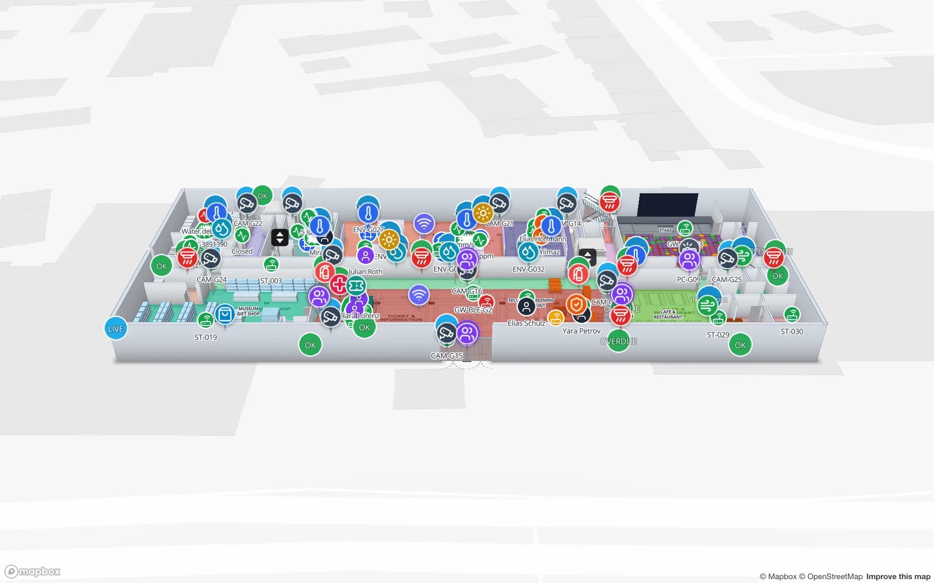
Production Museum, a three-floor museum demo, in the Spatial Map 3D viewer with live device markers
Production Museum
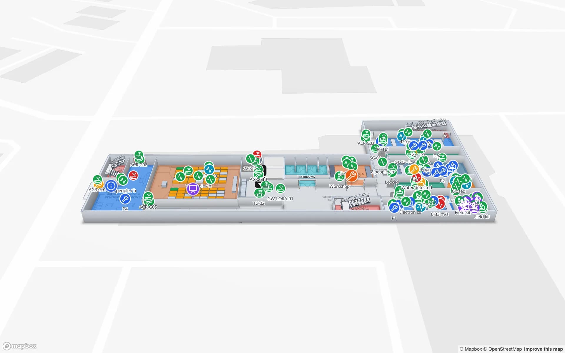
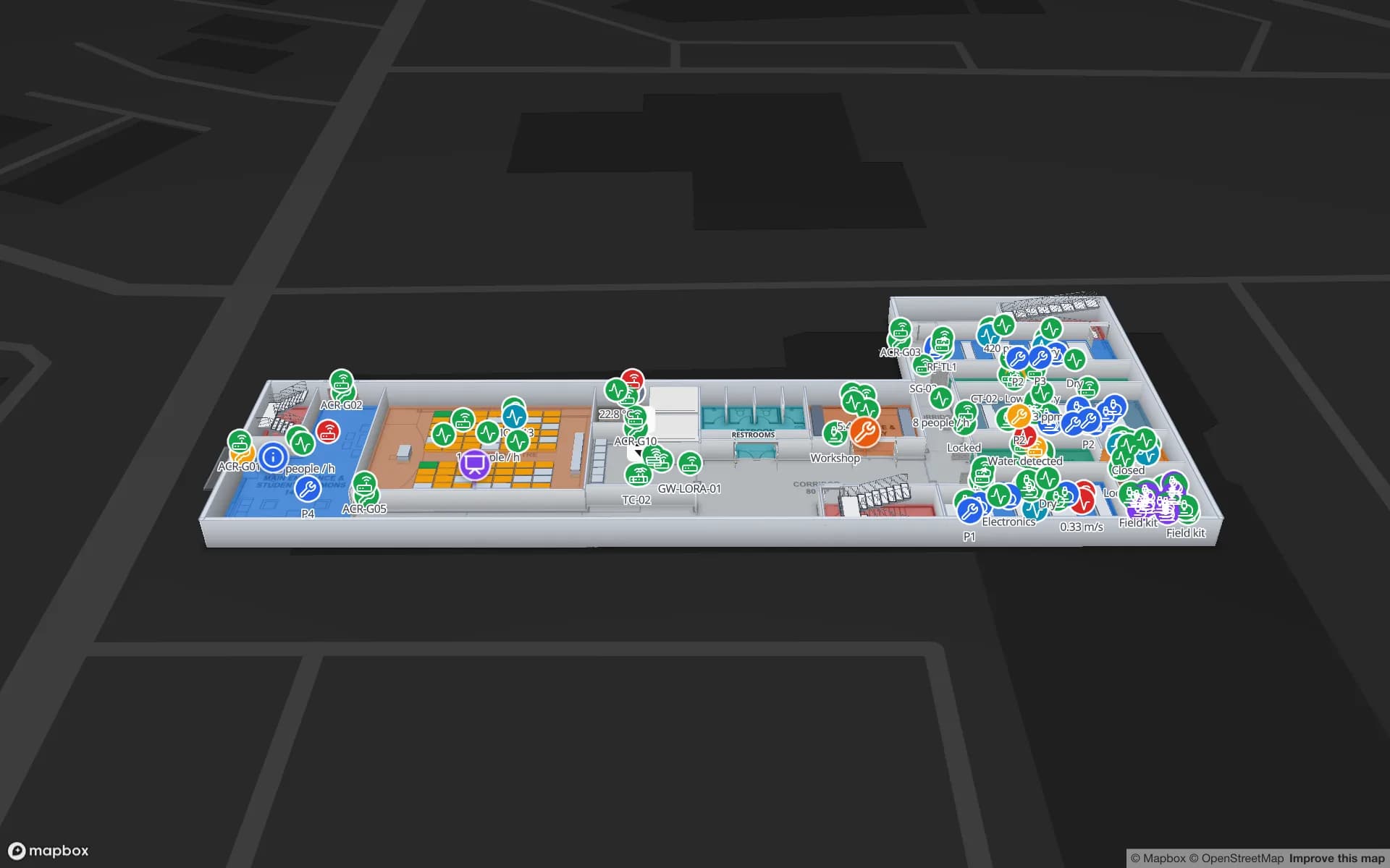
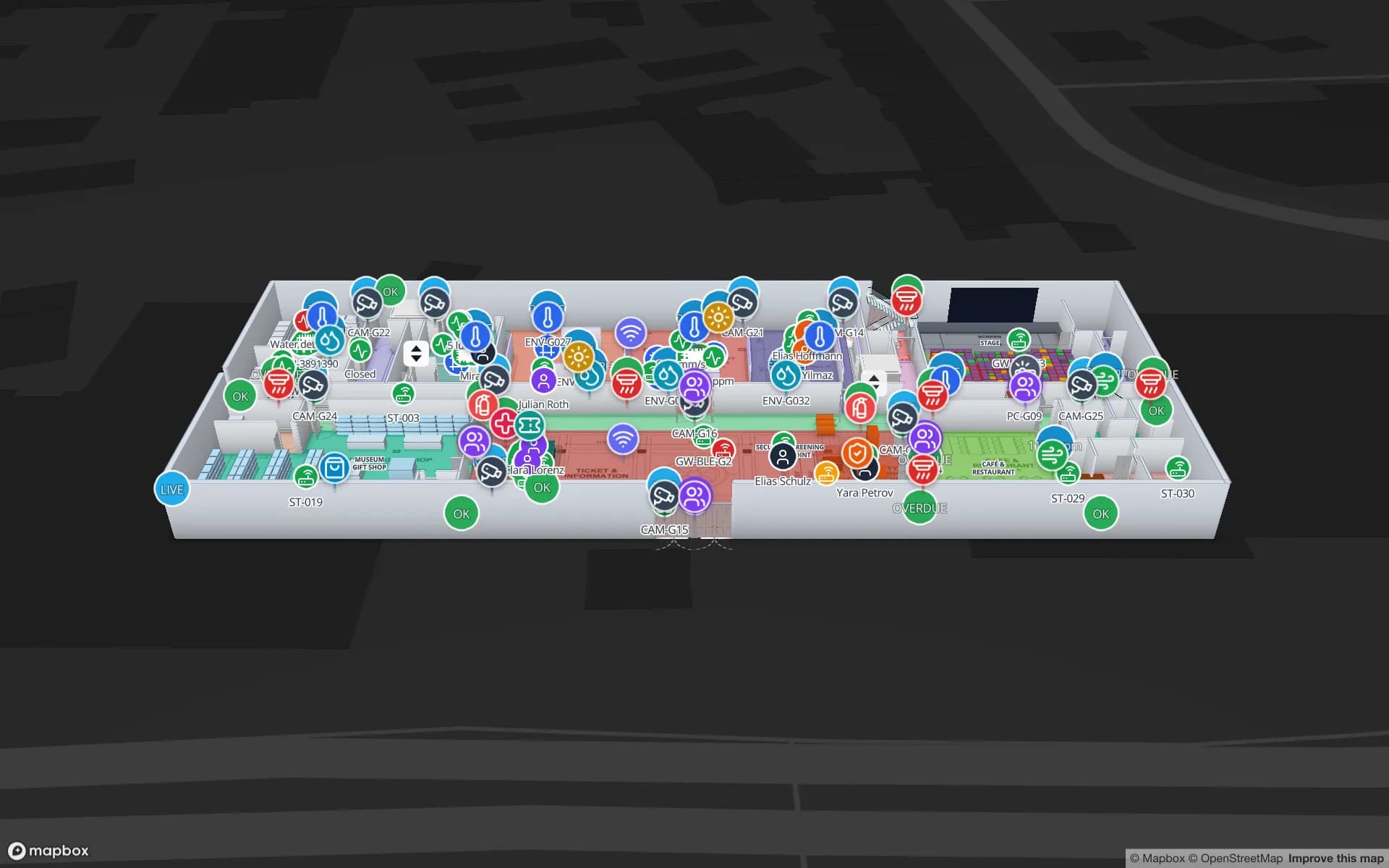
Production Museum, a demo three-floor museum: galleries with live occupancy and climate, tagged objects, visitor counters, cameras and safety equipment.
Floors in the Production Museum demo
3
Assets on the Production Museum map
187
Floors in the Lakeside convention demo
2
Free trial, up to 5 facilities, no card
7 days

A World Heritage centre where most buildings are listed

The Old and New Towns of Edinburgh were inscribed as a UNESCO World Heritage Site in 1995, and Historic Environment Scotland says more than 75 % of all the buildings within the site are listed for their architectural or historic importance. For anyone who runs a building there, that shapes everything that touches the fabric: what can be drilled, what can be fixed to a wall, what has to be asked of the council first.

A map is the part of the job that does not touch the fabric. Spatial Map is software drawn over a plan, so it needs no work in the building. If you later add sensors, counters or BLE beacons, treat each as its own question, and ask the conservation officer before fixing anything to a protected wall; battery-powered devices on a shelf or a stand are often the gentler route. The map itself shows the old rooms, stairs and half-levels the way the occupants actually use them.


August: hundreds of temporary venues in rooms with another job

The Edinburgh Festival Fringe Society’s closing report for 2025 counted 3,893 shows in 301 venues, 53,942 performances and an estimated 2,604,404 tickets issued. Many of those venues are rooms in buildings that serve other purposes for the other eleven months: halls, basements and other rooms turned into theatres and comedy clubs for a few weeks.

For the host building and for the company running a venue in it, the problem is one of wayfinding and capacity at short notice. Draw each room once, label the performance spaces, bar, box office, toilets and step-free entrances, and publish a read-only share link with the floors and layers each audience needs: one for performers and crew, one for ticket holders, one for contractors, each with an expiry date. The Lakeside demo keeps halls and loading bays as permanent shapes and redraws the booth blocks for each show, which is the same idea. Spatial Map does not replace your fire-safety plan or licence conditions; it is the picture people open on a phone.

Old College and an estate built over centuries

Historic Environment Scotland lists the University of Edinburgh’s Old College on South Bridge at Category A. Work began in 1789 to designs by Robert Adam, stopped in 1793, and the quadrangle was completed by William Henry Playfair between 1818 and 1834. A building made in stages like that rarely has floors that line up, and a university estate built over centuries holds many such buildings next to modern ones.

Each building is its own facility in one workspace. Upload the best drawing the estates team has, align it at real scale, draw rooms, doors, stairs and lifts floor by floor, and tag the shared kit, then put the room-booking or equipment-booking tables on top, as the Westbrook demo does for a science building. Routes follow only what you draw: the Step-free option uses lifts, so draw the half-landings and steps that matter and a visitor is not sent up a flight of stairs. Spatial Map does not certify a building as accessible and does not run timetabling or access control.

The city has been scanned in 3D. What does that mean for a plan?

The Scottish Ten project scanned most of Edinburgh Castle, the Royal Mile, Charlotte Square and other key buildings in 3D, with fieldwork between 2012 and 2014 and the City of Edinburgh Council as a partner, and created animations of some streetscapes and buildings to help assess planning applications and support conservation. A survey like that is a rich record of a façade or a street, but it is not the same thing as a floor plan someone can draw rooms over.

Spatial Map takes plans: a PDF sheet, a DWG from AutoCAD R2004 to R2018 (placed as a picture) or an image of a drawing. It does not read scan or point-cloud files. If an estate already holds surveys, ask for a floor-plan sheet per level as a PDF, align it, and draw over it, or let AI Map draft walls, doors and areas for a person to review (paid plans and the trial, with a monthly limit). The post on digitising a paper floor plan covers the photograph route for buildings with nothing better.

Services for teams in Edinburgh

Where Edinburgh teams usually start depends on the building:

  • Venue hosts and festival companies start with indoor maps and indoor wayfinding, then add an occupancy count or a list of kit.
  • Estates teams with listed buildings begin by mapping one building from the drawings they have, then use the same workspace for the rest of the estate; see museum and heritage indoor mapping.
  • Asset tracking is the natural second step for sound, lighting and AV kit that moves between rooms, and inventory tracking for stores and workshops; RTLS and UWB is for the few buildings where people and equipment must be located continuously.
  • If you have no counters, beacons or tags yet, our team can source BLE and RFID hardware on request, quoted per project, with warranty and device support from the manufacturer: see hardware and demo kits on request.
  • Booking systems for rooms, hire desks or festival programmes are built as client projects, including a booking system; the product runs as cloud or on-premises.

Also served nearby

The same approach covers Leith, Portobello, Musselburgh, Dalkeith, South Queensferry and Livingston, and the estates and business parks on the city’s edge. Nothing needs to be installed at any of them: the map opens in a browser.

How Spatial Map does it

From a drawing to a venue map for the festival

  1. 01

    Find the best drawing

    A CAD file, a PDF, a scan of a paper plan or a photograph; upload whatever the estates office or the owner holds.

  2. 02

    Align and draw

    Place it at real scale, draw rooms, doors, lifts and the steps that matter, or let AI Map draft them for review.

  3. 03

    Add the data you have

    Bookings, headcounts, sensors or an equipment list arrive through the write API, a polled REST endpoint or CSV and Excel uploads.

  4. 04

    Publish one link per audience

    Read-only views for crew, audience and contractors, each with its own layers and an expiry date, and a full view for operations.

What Edinburgh teams map

Festival and event venues

Rooms, bars, box offices and step-free routes, redrawn per season and shared by link.

Listed and historic buildings

Galleries and halls with occupancy and climate readings, tagged objects and visitor counters.

University buildings

Teaching rooms, shared equipment and stores across buildings of different centuries.

Offices and shared kit

Meeting rooms, an asset register and equipment check-out across three floors.

See it on real demo facilities

Fictional names, real floor plans, live sensors, RFID, BLE tags and gateways — open any of them in the browser.

All 13 demo facilities

Indoor mapping in Edinburgh — questions we get

The map is software drawn over a plan, so it needs nothing fixed to the building. Sensors, counters or beacons are a separate decision: if you add them, ask your conservation officer before fixing anything to protected fabric. Spatial Map makes no claim about what consents a building needs.

Yes. Draw the room once, publish read-only links with the layers each audience needs and an expiry date, and reuse the same plan next season. Spatial Map is not a ticketing system and does not replace your fire-safety plan or licence conditions.

Not as scan or point-cloud data. Spatial Map takes plans: PDF, DWG from AutoCAD R2004 to R2018 (placed as a picture) or an image. Ask for a floor-plan sheet per level from the survey and upload those.

No. There is no live visitor positioning and no mobile app. A visitor picks where they are, or opens a share link placed at a known spot, and the route is built around walls and through doors, with a Step-free option.

No. Spatial Map is sold online and our team works with customers in the UK remotely, by video call and through the contact form. There are no local resellers or partners, and nothing is installed on site.

In US dollars, the same worldwide: a 7-day free trial for up to 5 facilities with no card, then Pro at $60 a month or $600 a year for up to 4 facilities. Hardware such as BLE beacons, if you ask us to source it, is quoted per project and is not part of the subscription.

Map one Edinburgh building before the next season.

Start the free trial and open the Production Museum demo, or send us the best drawing of a building you look after through the contact form.