United Kingdom · UK

Indoor mapping and RFID tracking software for the UK

Most of Britain’s goods pass through a few very busy places: container ports on the east and south coasts, and the band of national distribution centres in the Midlands that the industry calls the golden triangle. From there they reach shops that increasingly count stock by RFID tag. Spatial Map turns those buildings — distribution centres, port warehouses, multi-floor shops, stadiums and conference venues — into live 3D maps in the browser, fed by the readers and systems you already run.

No credit card. Runs in the browser. Pro is $60/month for up to 4 facilities. Book a demo

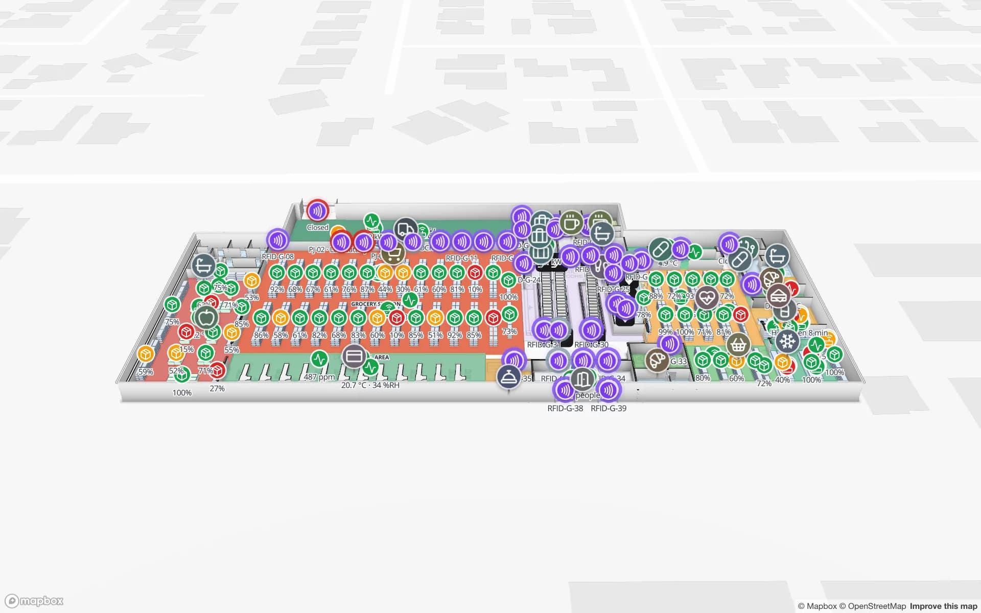
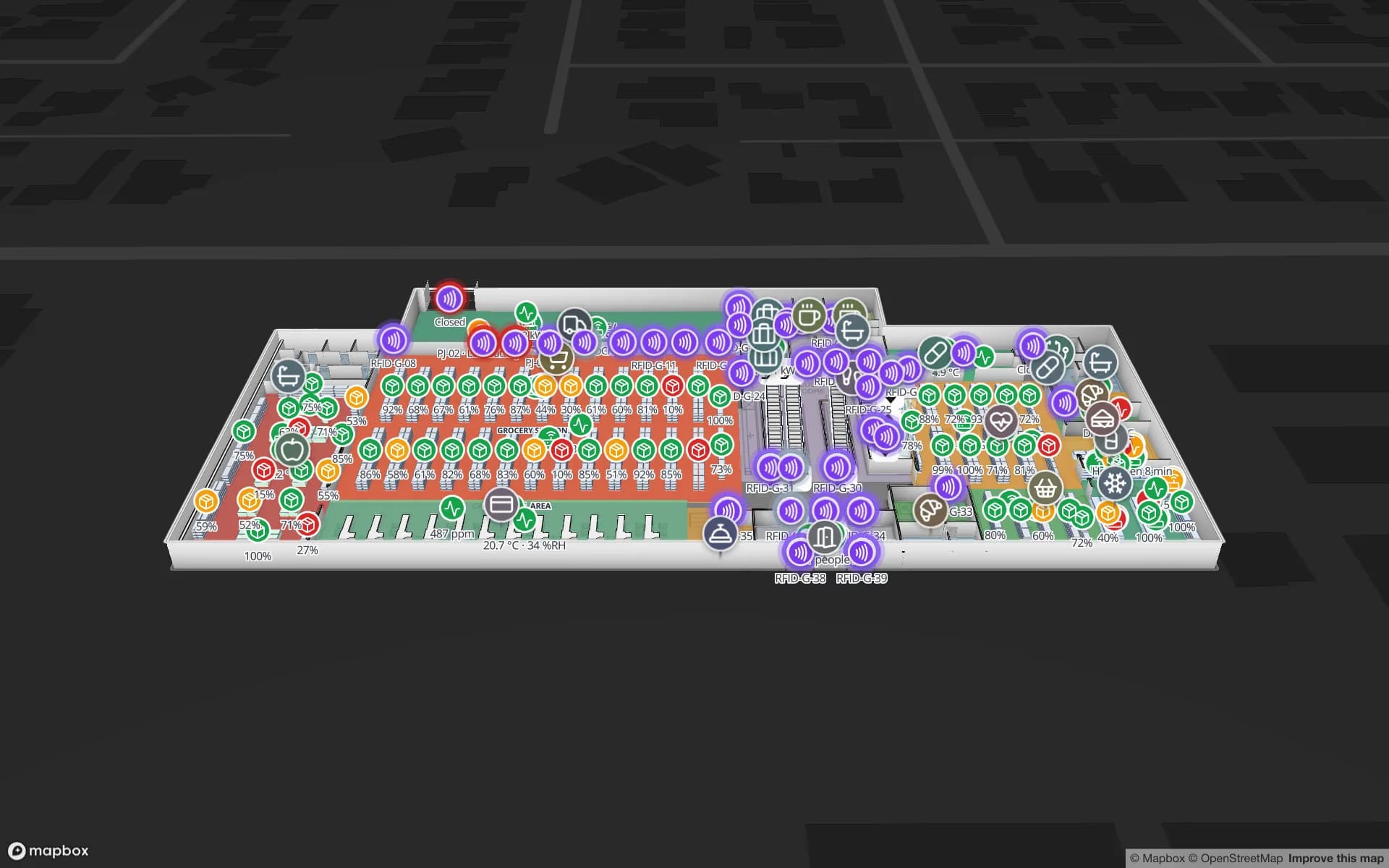
Retail Mart Store, a three-floor retail store demo, in the Spatial Map 3D viewer with live device markers
Retail Mart Store
Retail Mart, a demo three-floor shop: 85 RFID readers at doors, escalators and lifts, shelf and department stock, fridge sensors and BLE trolleys.
RFID readers in the Retail Mart demo shop
85
Floors joined by escalators and lifts in the same demo
3
Demo facilities to explore in the browser
13
Free trial, up to 5 facilities, no credit card
7 days

The golden triangle and national distribution centres

Retailers, grocers and 3PLs place their national distribution centres in the Midlands, along the M1 and M6, because most of the population is within a few hours’ drive. The buildings are large, often multi-client, and run around the clock: inbound containers from the ports, rack and pick faces, value-added services, and outbound trailers to stores and parcel hubs.

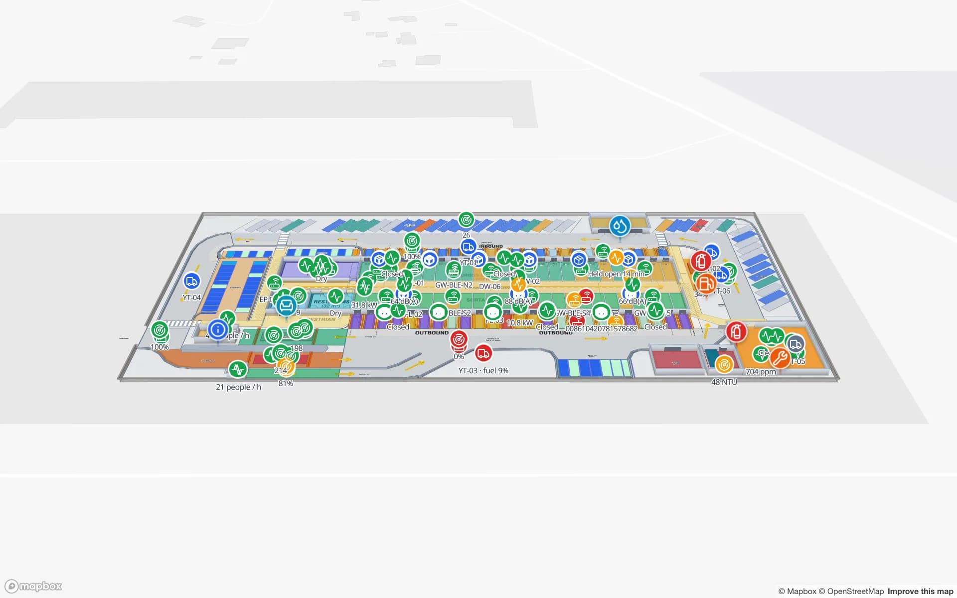
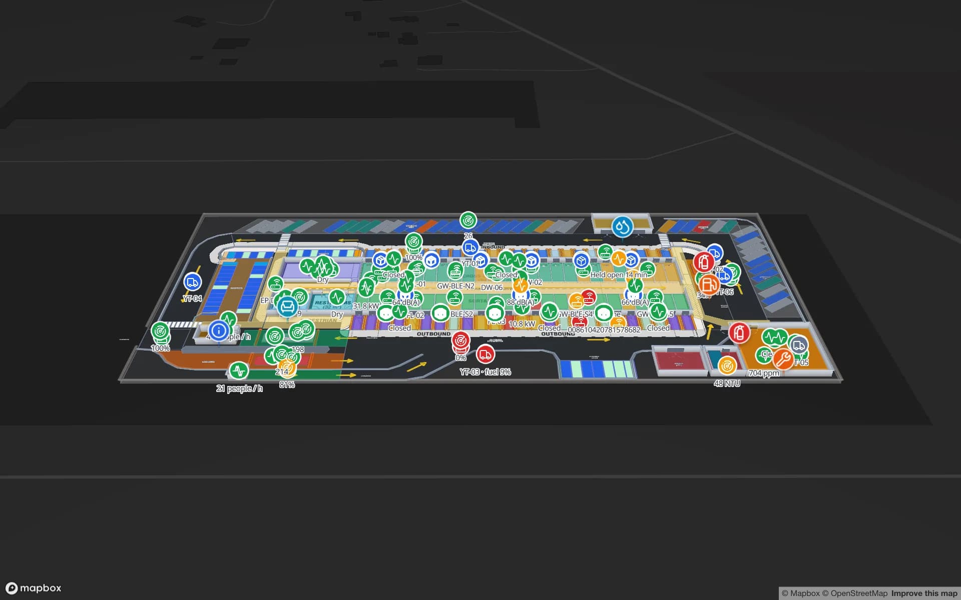
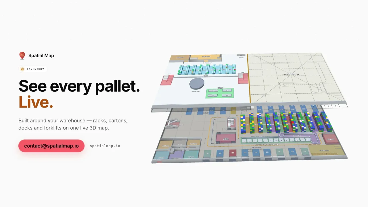
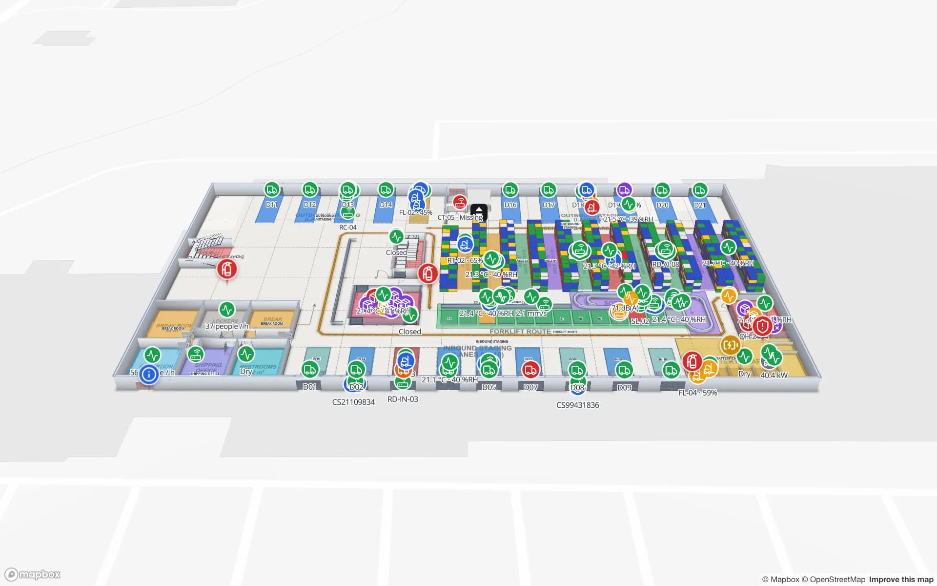
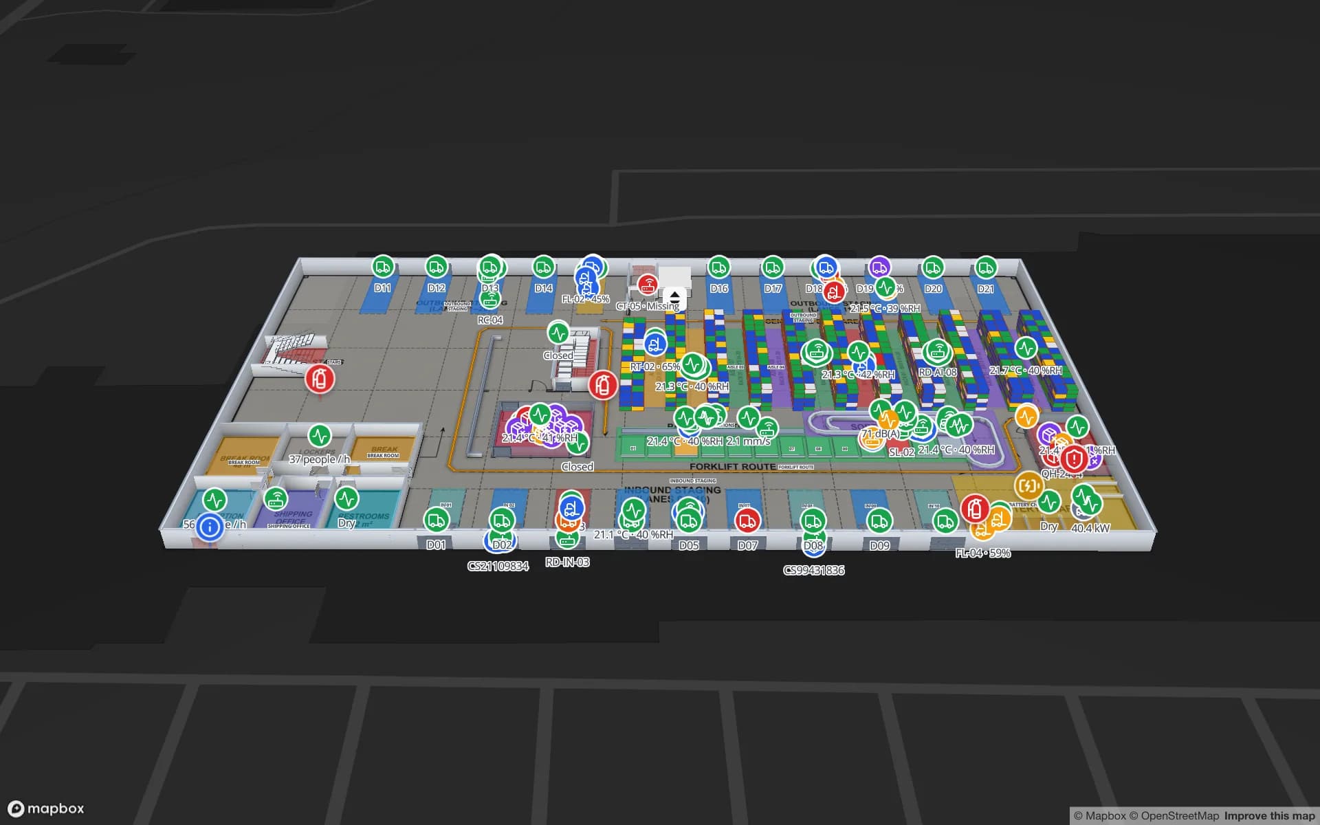
Spatial Map gives each of them one live map: rack locations coloured by stock or status from your WMS, RFID-tagged pallets and cartons read at the dock doors, forklifts as live markers and the trailer yard in view. The Crestline Fulfillment demo shows 2,204 rack locations, pick-to-light, packing, staging lanes and the yard. Read-only share links let a client see only their own floors and layers, with an expiry and no account needed.
Felixstowe, Southampton and port-centric warehousing

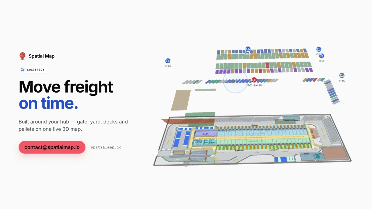
Felixstowe is the UK’s busiest container port, and Southampton is a major port for containers, vehicles and cruise ships. Port-centric warehouses and cross-docks around them deconsolidate containers and turn freight around quickly, with dock doors, yard slots, the gate and weighbridge working to tight slots.

Since the UK left the EU customs union, goods moving between Great Britain and the EU need customs declarations, and some warehouses keep goods in customs-controlled or bonded areas until they are cleared. Spatial Map does not make declarations, hold customs records or connect to customs systems. What it can do is show where held goods physically are: a zone drawn on the plan, coloured by the status column your WMS already keeps. The Eastport Cross-Dock demo shows 50 dock doors, 44 yard slots and 1,180 RFID pallets.

Item-level RFID in retail, and the roll-cage problem

UK retailers, especially in clothing, were among the early adopters of item-level RFID to keep stock records accurate, and readers now sit at shop doors, stockrooms and fitting rooms as well as in distribution centres. The reads are only useful in context: which tagged items passed which door, what moved from the stockroom to the sales floor, which department is short. The Retail Mart demo places 85 readers at doors, escalators and lifts across three floors; see RFID gate readers on a retail floor for the set-up.

Behind the shops sit returnable assets: roll cages, dollies, trays and pallets that travel from depot to store and are meant to come back. Tagged cages read at depot and store doors become live markers with a row history, so a site holding more than its share is visible on the map and in reports. Spatial Map does not sound door alarms or send notifications; it shows what happened.

Stadiums and conference venues

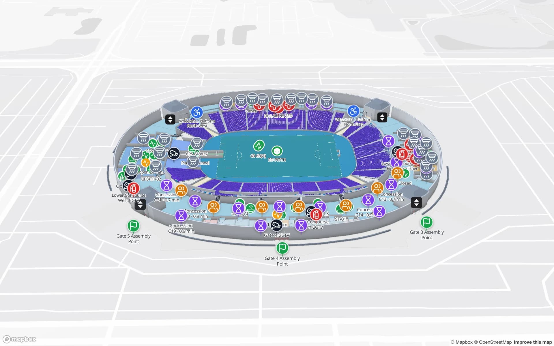
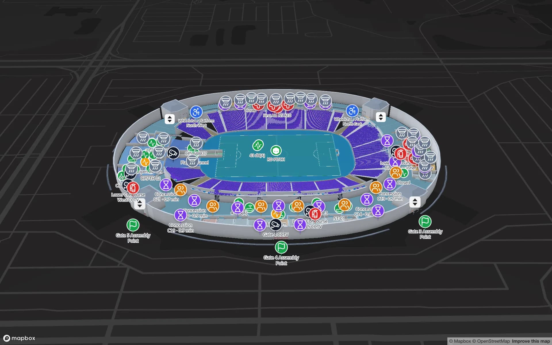
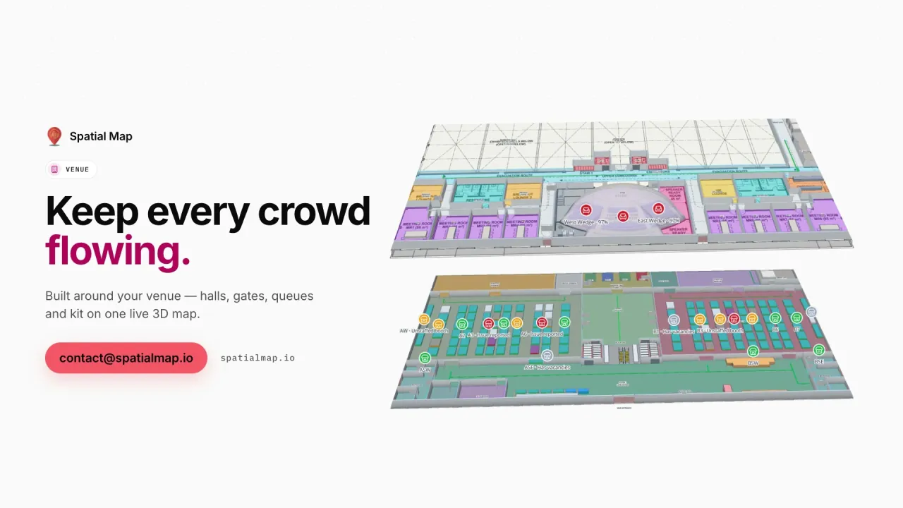
British football, rugby and cricket grounds, arenas and exhibition centres run large events most weeks. Operations and safety teams want turnstiles, concourses, stewards and catering on one screen, and a record for the debrief. The Crown Park Stadium demo shows turnstile scans, crowd counters, row allocations, food and beverage sales and crews; Lakeside Convention Center shows halls, rooms over capacity and crates from dock to stand. Wayfinding builds walking routes around walls and through doors, also on share links for exhibitors and contractors.

UK GDPR, the Data Protection Act 2018 and monitoring workers

In the UK, personal data is governed by the UK GDPR and the Data Protection Act 2018, and the Information Commissioner’s Office (ICO) has published guidance on monitoring workers that stresses a clear purpose, transparency with staff and, often, a data protection impact assessment. Location data that can be linked to an employee falls squarely within it. Your legal advisers decide what a particular project needs; most UK warehouse and retail projects start by tagging stock, cages and equipment rather than people.

Spatial Map only shows the data you send it. The four roles (Owner, Admin, Editor, Viewer) limit who sees a facility, share links expose only the layers and floors you choose, and every workspace is isolated. A data processing agreement is available, and the security page explains how data is protected.

Working with Spatial Map in the UK

Spatial Map is sold online at the same price worldwide, in US dollars, and our team works with UK customers remotely, by video call and through the contact form. The interface is in English, with German, French, Spanish, Arabic and Chinese available for colleagues who prefer them. For multi-site rollouts, floor-plan digitisation and RFID, BLE or WMS integration are quoted as a fixed-price custom service, with a proposal within 3 business days.

How Spatial Map does it

From floor plan to live map

  1. 01

    Import the floor plan

    Upload a PDF (scale read from standard sheet sizes) or a DWG from AutoCAD R2004–R2018.

  2. 02

    Draw the building

    Trace racks with their locations, dock doors, shop departments, escalators, lifts, stairs and walls.

  3. 03

    Connect RFID and the WMS

    Your RFID middleware or WMS posts rows to a table in batches, or Spatial Map polls its REST endpoint.

  4. 04

    Operate, report, share

    Live map, history playback, reports in PDF, Excel, CSV or JSON, and read-only links for clients.

What UK teams use it for

Item-level RFID in shops

Reads at doors, stockrooms, escalators and lifts across a multi-floor shop.

Roll cages and returnable assets

Tagged cages and dollies followed between depot and store, with history.

Midlands distribution centres

Rack-level stock, RFID pallets and the trailer yard for multi-client sites.

Port warehouses and held goods

Dock doors, yard slots and the zone where goods wait for clearance.

Stadiums and arenas

Turnstiles, crowd counters, concourses and crews on match day.

High-value stock and shrink

Security zones and RFID-tagged units read at every choke point.

See it on real demo facilities

Fictional names, real floor plans, live sensors, RFID, BLE tags and gateways — open any of them in the browser.

All 13 demo facilities

Questions from UK teams

No. It does not make declarations, keep customs records or connect to customs systems. It can show where held goods physically are — a zone on the warehouse plan coloured by the status your WMS already records — but your customs procedures and systems remain the record.

Yes. Spatial Map processes the data you send it, a data processing agreement is available, and the security page explains how data is protected. Whether a particular use — especially monitoring workers — is lawful and proportionate is for you and your legal advisers to assess, with the ICO’s guidance as context.

No. Your readers and RFID middleware read the tags; the middleware posts reads (tag, reader, time) to a table with the write API — 60 requests per minute per key, so reads are sent in batches — or exposes a REST endpoint that Spatial Map polls. Reader names in the data match the door names on the map.

Yes, if cages are tagged and read somewhere. Each read updates the cage’s location on the map and adds to its row history, and reports show counts by site or area. Spatial Map does not send notifications about missing cages; it shows the picture.

No. Spatial Map is sold online and our team works with UK customers remotely, by video call and through the contact form. Nothing is installed on site.

No. Pricing is the same worldwide and in US dollars: a 7-day free trial for up to 5 facilities with no credit card, then Pro at $60 a month or $600 a year for up to 4 facilities. Larger estates are quoted as custom services.

Map your first UK site this week.

Start the free trial, or send us a floor plan and a sample of your RFID or WMS data through the contact form and we will show you your own building live.