Bristol · Filton, Avonmouth and Royal Portbury

Asset tracking in Bristol, from the Filton tool store to the Avonmouth yard

Spatial Map shows where tagged equipment, tooling and vehicles are on a live 3D map of each building and yard, using the reads and positions your RFID and BLE systems already produce. Asset tracking in Bristol has two centres of gravity. In the north, around Filton, are engineering and aerospace sites full of tooling, jigs, test equipment and shared kit that must be found, calibrated and booked. In the north-west, at Avonmouth and Royal Portbury, are the port and the sheds around it, where handling equipment, trailers, cages and returnable assets move all day.

No credit card. Runs in the browser. Pro is $60/month for up to 4 facilities. Book a demo

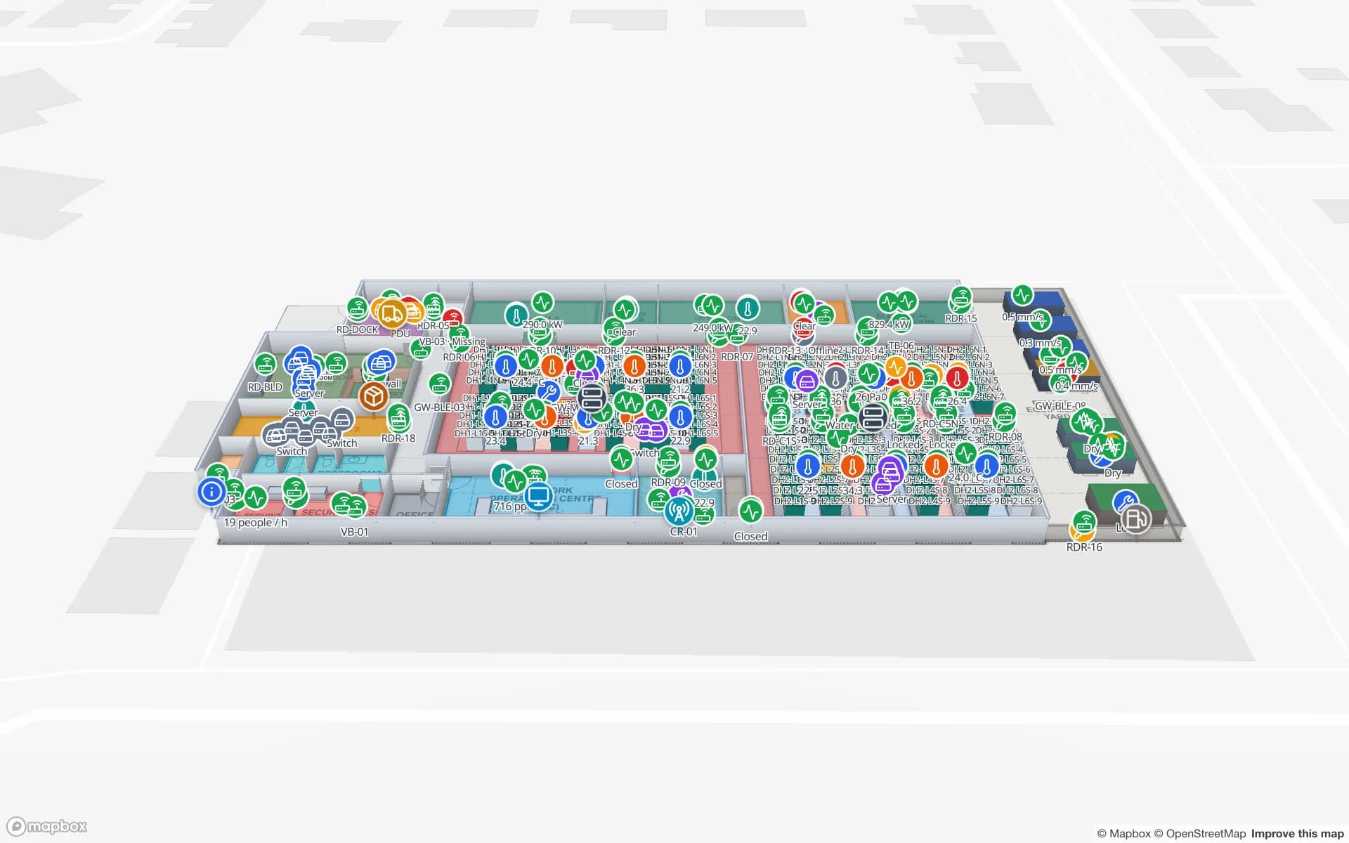
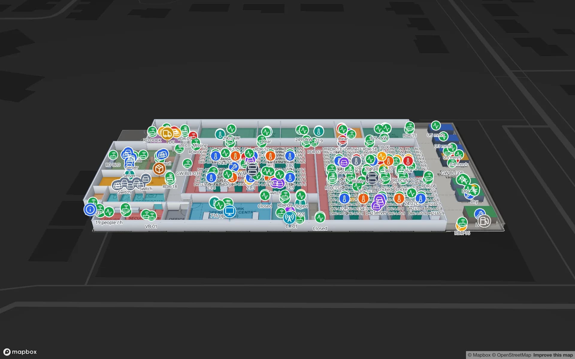
Harborview Corporate Campus — Building A, a corporate office building demo, in the Spatial Map 3D viewer with live device markers
Harborview Corporate Campus — Building A
Harborview Corporate Campus, a demo office building: the asset register, equipment check-out, stores and spares, work orders and meeting rooms on three floors.
Floors in the Harborview asset-register demo
3
Rack locations in the Summit assembly-plant demo
867
How often alert rules are checked, with alerts shown in the app
15 s
Free trial, up to 5 facilities, no card
7 days

Filton: tooling and test kit in an aerospace cluster

South Gloucestershire Council describes the Filton Enterprise Area as having Brabazon at its heart, with a strategic allocation of 50 hectares of employment land, and Bristol City Council’s economic strategy refers to the extensive and high-value aerospace and defence cluster at Filton and its supply chain. Filton Airfield itself is closed to flying, and Historic England lists a hangar there as Grade II, an early standard-type hangar dating from around 1917 to 1918 that was listed on 1 December 2005. Modern engineering sits among old buildings.

What those sites share with every engineering plant is the problem of the thing that is not stock: a torque wrench that must be calibrated, a fixture that belongs to one programme, a test rig on loan from another department. Tag each item, name the stores, bays and test areas on the plan, and the map shows where the item was last seen, who has it and whether it is overdue. RFID tool tracking covers the tool-crib pattern. Spatial Map does not hold calibration certificates or approve a tool for use; it can show a due-date column on the plan, and your quality system stays the record.


Avonmouth and Royal Portbury: equipment in a port estate

The port’s operator describes the port, which comprises Avonmouth and Royal Portbury Docks, as the UK’s most centrally located deep-sea port, with direct access to the M4, M5 and M49 and rail connections from both docks, and says Royal Portbury Dock has a 600-metre quay with three gantry cranes. That is the operator’s own description. The port estate and the sheds around it use equipment of every kind: forklifts and reach trucks, shuttle trailers, mobile handling machines, roll cages, pallet frames and reefer plugs.

Mark the yard areas, stacks, bays and workshops as areas, tag the equipment with BLE or RFID, and the map shows where each item is now, which are idle, which are in the workshop and which have not been seen for a day. A “not updated” rule raises an in-app alert. The Eastport demo shows 50 dock doors, 44 yard slots and yard tractors on one map. Spatial Map does not connect to port community or terminal systems and does not control equipment; it shows your tags’ positions.

Avonmouth Severnside: sheds beside the M5

Bristol City Council’s economic strategy for 2025 to 2035 describes Avonmouth as the hub of the wider Portbury, Avonmouth and Severnside area, dominated by logistics and distribution, energy generation, and waste and water management, and notes that the Avonmouth and Severnside Enterprise Area was designated in 2012. The council’s employment-land review describes it as a large industrial and distribution area alongside the M5.

The assets in a shed are the unglamorous ones: pallet trucks, battery chargers, roll cages, returnable totes, racking inspection tags, waste containers. They are cheap individually and costly in aggregate, and a map that shows where they are last seen and how many are in each area saves the weekly hunt. Tags on the returnable ones, read at the dock doors, are usually the most useful start; see RFID warehouse management for the dock-door pattern, and real-time indoor asset tracking for a longer treatment.

Shared kit, audits and the data room

Engineering firms and the offices around them also hold the IT equipment, test laptops and meeting-room kit that make an asset register. Walk the building with an RFID handheld, update the register room by room, and read the store door to catch what leaves; the RFID IT asset audit page explains it. The Harborview demo shows an asset register, equipment check-out, stores and spares and work orders on three floors, and the Ridgeline demo maps a data hall cabinet by cabinet, with 24 rows of cabinets.

Services for teams in Bristol

Where Bristol teams usually start depends on the site:

  • Engineering and aerospace teams usually begin with asset tracking for tooling and test equipment, often with an RFID handheld audit before any fixed readers.
  • Port-side and Avonmouth operators begin with asset tracking for equipment and returnable assets, then add inventory tracking for goods in the shed.
  • RTLS and UWB fits large yards and plants where vehicles and people must be located continuously; a BlueIOT server connects directly and other engines through the write API.
  • If you have no readers, tags or gateways yet, our team can source RFID and BLE hardware on request, quoted per project, with warranty and device support from the manufacturer: see hardware and demo kits on request.
  • Asset back offices, handheld apps and integrations are built as client projects, for example an asset management system; the product runs as cloud or on-premises.

Also served nearby

The same page covers Filton, Patchway and Almondsbury, Avonmouth, Portbury and Severnside, Bath, Weston-super-Mare and Newport across the Severn crossings. Nothing needs to be installed at any of them: the map opens in a browser.

How Spatial Map does it

Building a Bristol asset map

  1. 01

    Load the asset register

    Upload a CSV or Excel list of assets with tag IDs, owners, due dates and home locations as a table.

  2. 02

    Map stores, bays and yards

    Import the building or yard plan, align it, and draw stores, bays and areas named like your gateways and readers.

  3. 03

    Connect reads and positions

    RFID middleware, BLE gateways and your ERP post rows via the write API or a polled REST endpoint.

  4. 04

    Add overdue and silence rules

    In-app alerts for assets overdue at a borrower, equipment not seen for a set time and tags that stop reporting.

Where Bristol teams track assets

Tooling, jigs and test equipment

Tool-crib check-out, last-seen store and overdue items coloured on the plan.

Port and yard equipment

Yard tractors, trailers and handlers by area, idle or in the workshop.

Returnable cages and totes

Where each cage was last read, and how many sit in each area.

IT and data-room equipment

Cabinets, spares and checked-out kit tied to the room or rack.

See it on real demo facilities

Fictional names, real floor plans, live sensors, RFID, BLE tags and gateways — open any of them in the browser.

All 13 demo facilities

Asset tracking in Bristol — questions we get

No. It can show a due date from your own register on the plan and flag overdue items with an in-app alert, but calibration records and approvals stay in your quality system. Spatial Map does not make a compliance claim.

Often RFID at the tool-crib or workshop door, where an item is checked out and back in, and BLE for the few high-value items you want to find between reads. Spatial Map shows either, as long as your system sends a tag ID with a read point, zone or position.

No. It has no link to port, terminal or customs systems and does not control equipment. It shows where your own tags say your own assets are.

Yes. Upload the scan or photograph, align it at real size and draw over it, or let AI Map draft from the picture and correct what it gets wrong. Our services team can also do the mapping remotely for a fixed price.

No. Spatial Map is sold online and our team works with customers in the UK remotely, by video call and through the contact form. There are no local resellers or partners.

In US dollars, the same worldwide: a 7-day free trial for up to 5 facilities with no card, then Pro at $60 a month or $600 a year for up to 4 facilities. Larger estates are quoted as custom services.

Track one shared-equipment pool first.

Start the free trial and open the Harborview demo, or send us your asset list and the plan of a site through the contact form.