Glasgow · Conference venues, campuses and the Clyde

Indoor mapping in Glasgow: event halls, campuses and old Clydeside buildings

Spatial Map is browser-based indoor mapping software: it turns a floor plan into a 3D map of every floor, with rooms, doors, lifts and stairs, and puts live data on top. Indoor mapping in Glasgow has three kinds of customer building. There are venues that host conferences for visitors who have never been inside; there are university campuses with buildings from several centuries; and there are the Clydeside works, depots and halls whose only drawings are paper. All three begin the same way, with whatever plan the estates team can find.

No credit card. Runs in the browser. Pro is $60/month for up to 4 facilities. Book a demo

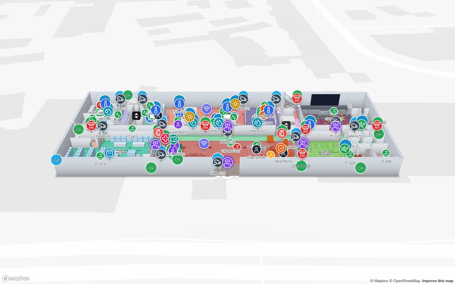
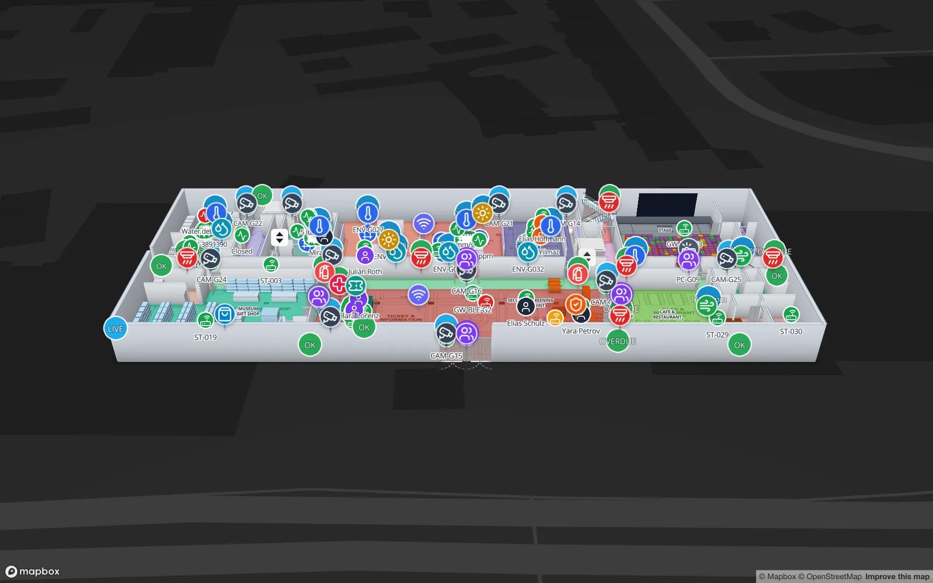
Lakeside Convention Center, a convention center demo, in the Spatial Map 3D viewer with live device markers
Lakeside Convention Center
Lakeside Convention Center, a demo two-floor venue: halls with live occupancy, booths and session rooms, registration and freight docks.
Floors in the Lakeside convention demo
2
Floors in the Production Museum demo
3
Interface languages, Gaelic not among them
6
Free trial, up to 5 facilities, no card
7 days

A conference city, and what delegates need from a map

Glasgow Life, the city’s culture and sport body, reported that between April 2024 and March 2025 Glasgow hosted over 430 conferences, welcoming more than 140,000 delegates, and described the city as hosting more international delegates than any other UK city outside London. Delegates arrive once, carry a phone, and need to find a registration desk, a session room and the nearest step-free route between them.

Draw the venue floor by floor, label halls, rooms and booths, and publish a read-only share link that opens a plan with routes across floors through lifts, stairs and escalators, with Fastest and Step-free options and walking minutes. There is no live blue dot and no mobile app: the link opens in a browser. For the organiser, the same map colours halls by occupancy and shows crews and freight at the loading docks, as in the Lakeside demo. See stadium and venue indoor mapping and the wayfinding docs.
Old buildings on the Clyde, and drawings that are not CAD

Glasgow’s river was an industrial one, and some of its buildings are protected. Historic Environment Scotland lists the Finnieston (Stobcross) Crane at Category A: a 175-ton cantilever quayside crane completed in 1931 for the Clyde Navigation Trust, one of 27 built in Britain, of which 15 survive. It also lists the Glasgow Harbour Tunnel shaft and rotunda at Govan Road, built in 1890 to 1895 over a shaft that gave access to two vehicle tunnels and a pedestrian one, at Category B.

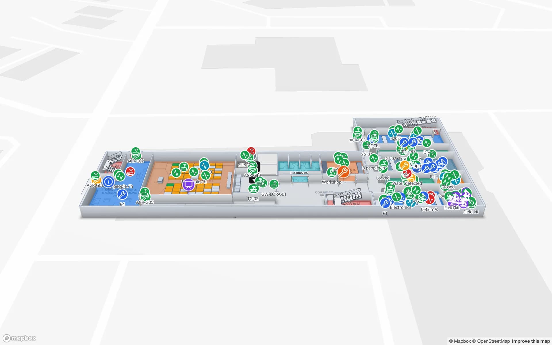
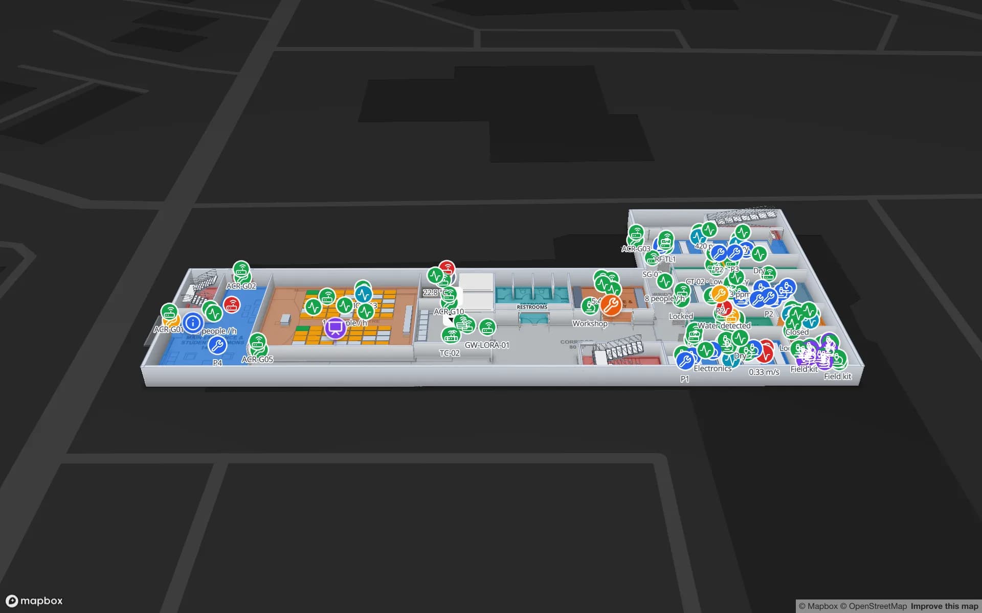
A building of that age rarely has a clean CAD plan. The usual starting point is a paper drawing, a scan or a photograph. Upload it, align it at real scale against the basemap, and draw over it, or let AI Map draft walls, doors and areas for someone to review (paid plans and the trial, with a monthly limit). The post on digitising a paper floor plan walks through the photograph route. A converted works, a museum or an arts venue can then carry an object register, visitor counters and climate sensors, like the Production Museum demo: three floors with 187 assets. For the general case see museum indoor mapping.

Campuses that span four centuries

The University of Glasgow dates itself to 1451 and moved to Gilmorehill in the west end in 1870, into the Gothic Revival building designed by George Gilbert Scott. A campus like that is several generations of building in one estate: a Victorian main block, post-war towers, new laboratories. Estates teams deal with timetables, shared rooms, lab equipment and visitors who cannot find the building.

Each building is its own facility, and all of them can sit in one workspace. Draw rooms as areas that a table colours by timetable slot, tag shared kit such as AV carts and lab instruments, and publish a step-free route for visitors. The Westbrook demo shows a two-floor science building with lab equipment bookings, lab environment readings and chemical stores; campus and office indoor mapping covers the general case. Spatial Map does not run timetabling, access control or the university’s own systems; it shows the data they send.

Accessibility: what the routes do and do not do

A Step-free route avoids stairs and escalators and uses lifts, based on how you drew the building. It is only as good as the plan: if a lift is out of service or a door is heavy, the map does not know unless a table says so. Wiring a lift-status column into a style rule turns that lift red on the plan, and a read-only link shows the current picture to visitors. Spatial Map does not certify a building as accessible and makes no accessibility-law claim; your own audit stays the record.

Services for teams in Glasgow

Where Glasgow teams usually start depends on the building:

  • Venues and conference organisers start with indoor maps and indoor wayfinding, then add occupancy counters and an asset list.
  • Estates teams with heritage buildings start by digitising the drawings they have and mapping one building, then use the same workspace for the rest of the estate.
  • Asset tracking is the natural second step for shared equipment, and inventory tracking for stores, labs and workshops; RTLS and UWB is for the few buildings where people and equipment must be located continuously.
  • If you have no sensors, counters or tags yet, our team can source BLE and RFID hardware on request, quoted per project, with warranty and device support from the manufacturer: see hardware and demo kits on request.
  • Booking systems for rooms or events, asset registers and integrations are built as client projects, including a booking system; the product runs as cloud or on-premises.

Also served nearby

The same approach covers Paisley, Clydebank, Renfrew, Motherwell, Hamilton, Coatbridge and East Kilbride around Glasgow, and the Clyde-side industrial estates. Nothing needs to be installed at any of them: the map opens in a browser.

How Spatial Map does it

From a paper drawing to a Glasgow venue map

  1. 01

    Find the best drawing

    A CAD file, a PDF, a scan of a paper plan or a photograph — upload what the estates office has.

  2. 02

    Align and draw

    Place it at real scale and draw rooms, doors, lifts and stairs floor by floor, or let AI Map draft them for review.

  3. 03

    Add data

    Occupancy counters, bookings, sensors or asset lists arrive through the write API, a polled REST endpoint or CSV and Excel uploads.

  4. 04

    Publish routes and links

    A read-only link with step-free routes for visitors, and an admin view for the operations team.

What Glasgow teams map

Conference and event venues

Halls by live occupancy, booths and rooms by booking, and routes for delegates.

University buildings

Rooms by timetable, shared equipment and chemical stores on a campus map.

Heritage and museum buildings

Galleries with live occupancy and climate, tagged objects and visitor counters.

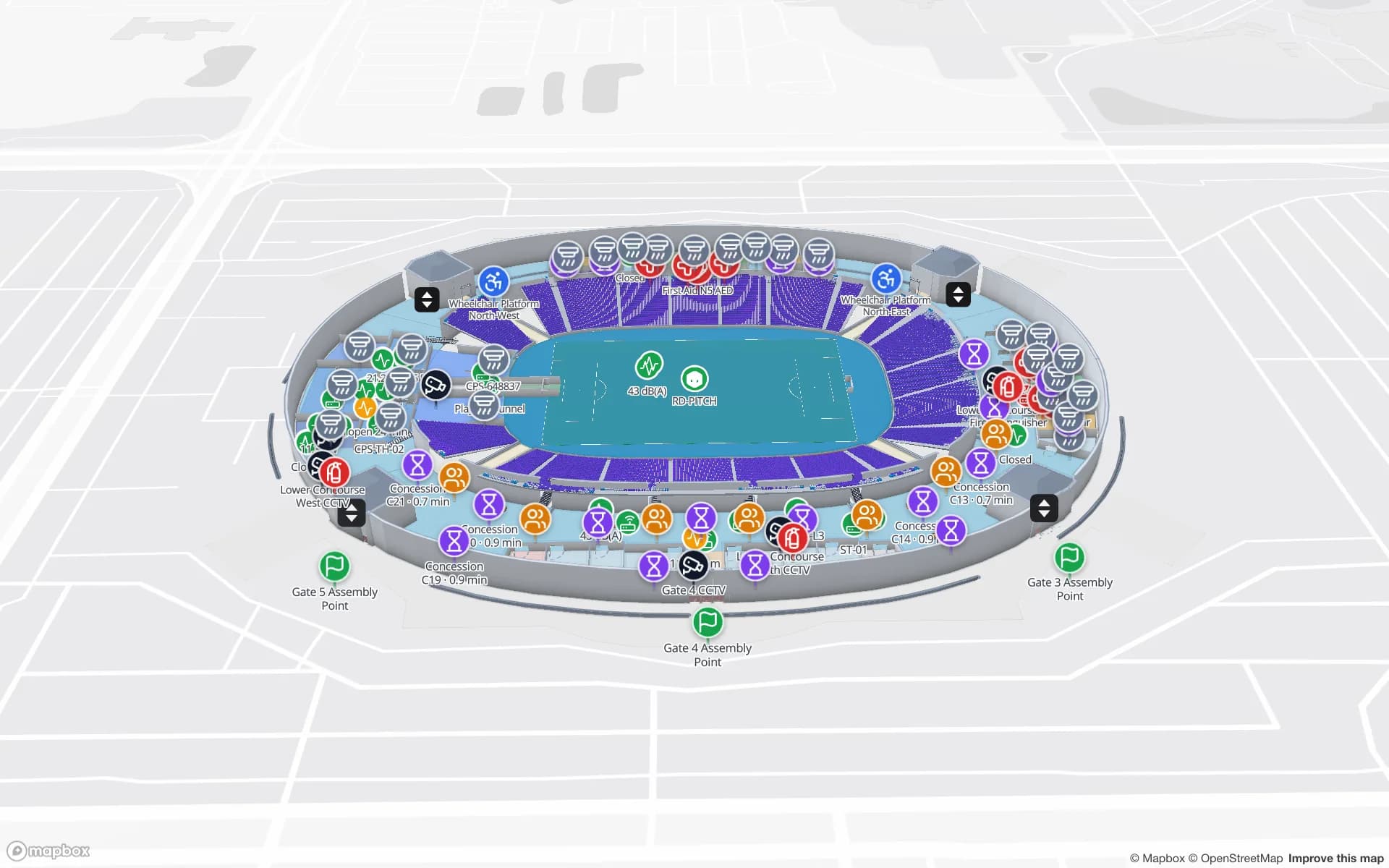
Match-day and large crowds

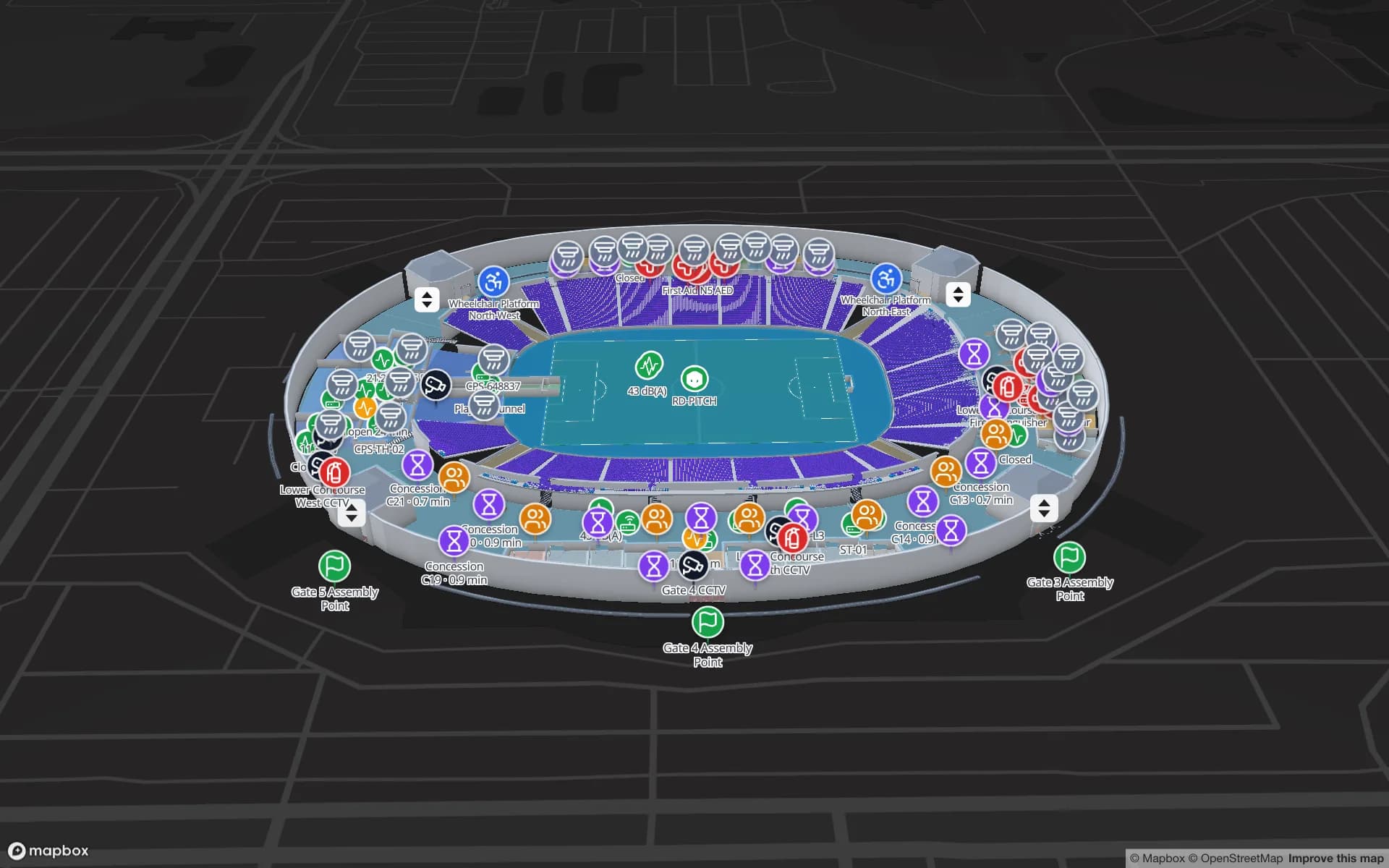
Turnstile counts, concourse flow and crews on one plan.

See it on real demo facilities

Fictional names, real floor plans, live sensors, RFID, BLE tags and gateways — open any of them in the browser.

All 13 demo facilities

Indoor mapping in Glasgow — questions we get

Yes. Scan or photograph it, upload the image, align it at real size against the basemap and draw over it. AI Map can draft from the picture, and you correct what it gets wrong. Our services team can also do the mapping remotely for a fixed price.

They can open a read-only share link in a mobile browser and plan a route across floors, with a Step-free option and walking minutes. There is no live blue dot (the map does not know where the visitor is) and no mobile app.

No. Bookings and timetables stay in your own systems. Spatial Map shows them: rooms are coloured from a table that your system writes to, or that Spatial Map polls over REST.

No. It is available in English, Spanish, French, German, Arabic and Chinese. Your own room names, labels and report titles can be in any language, including Gaelic.

No. Spatial Map is sold online and our team works with customers in the UK remotely, by video call and through the contact form. Maps are built from your drawings, so no site visit is needed.

In US dollars, the same worldwide: a 7-day free trial for up to 5 facilities with no card, then Pro at $60 a month or $600 a year for up to 4 facilities. Larger estates are quoted as custom services.

Map one Glasgow building from the plan you have.

Start the free trial and open the Lakeside demo, or send us a scan or photograph of a plan through the contact form and we will show you your own building live.