UK · London and the M25

RTLS and warehouse tracking in London

Spatial Map provides RTLS and warehouse tracking in London without new hardware: it puts the positions and reads your systems already produce — BLE gateways, UWB or RFID — on a live 3D map of the building in the browser. Here that building is usually tight: a last-mile shed in Park Royal, a forwarder’s warehouse on the Heathrow perimeter, a distribution centre on the Thames in Essex or a data hall in the west. Spatial Map does not compute positions itself; it shows where your RTLS says things are, next to stock, doors and sensors.

No credit card. Runs in the browser. Pro is $60/month for up to 4 facilities. Book a demo

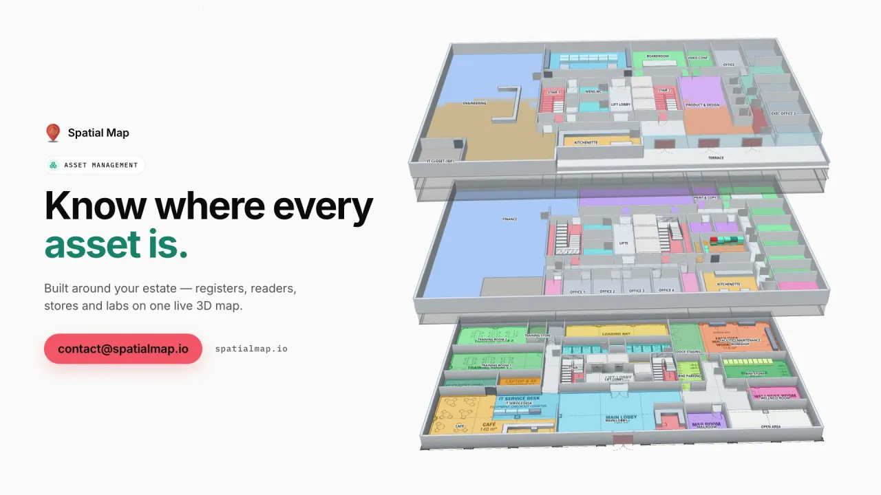
Asset Management film: “Know where every asset is” beside three floors of Harborview Corporate Campus in 3D
The Asset Management film: live RFID playback in the Ridgeline data centre, then a missing laptop found on the second floor of the Harborview campus.
Cabinet rows in the Ridgeline data-centre demo
24
Rack locations in the Crestline fulfilment demo
2,204
How often alert rules are checked
15 s
Free trial, no credit card
7 days

Park Royal and last-mile sheds inside the M25

Park Royal, in west London, is the capital’s largest industrial estate and one of its busiest last-mile logistics locations, next to the Old Oak Common interchange being built for HS2 and the Elizabeth line. Sheds there and elsewhere inside the M25 are small by national standards, yards are cramped and every van slot counts. Since 2023 the Ultra Low Emission Zone has covered every London borough, so many fleets have moved to electric vans that need charging bays in the yard.

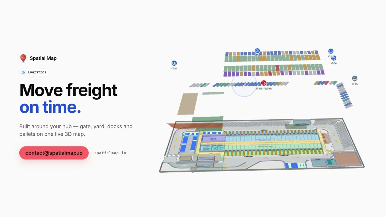
In Spatial Map, roll cages, pallets and vans tagged with BLE or RFID appear on the shed and yard plan where your gateways or readers put them, beside racks coloured from the WMS and charging bays coloured by status. A rule such as “number of matching items” over a threshold — too many cages in the marshalling area, say — raises an in-app alert with Show on map. See RTLS software for how positions come in.


Heathrow cargo and the airport perimeter

Heathrow is the UK’s most valuable port by trade value: it reports that more than a quarter of the UK’s trade by value passed through it in 2025, much of it carried in the holds of passenger aircraft. Forwarders, handlers and bonded warehouses line the airport perimeter, from the cargo area on the south side to Colnbrook and Poyle.

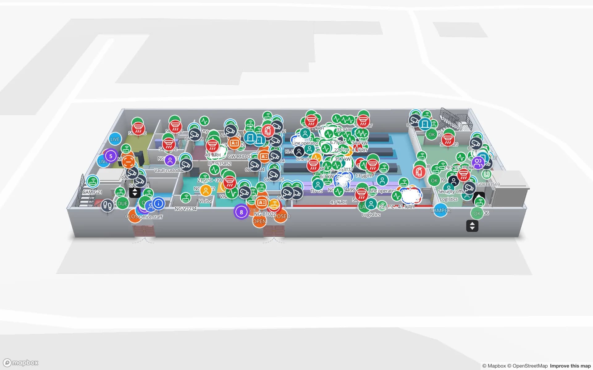
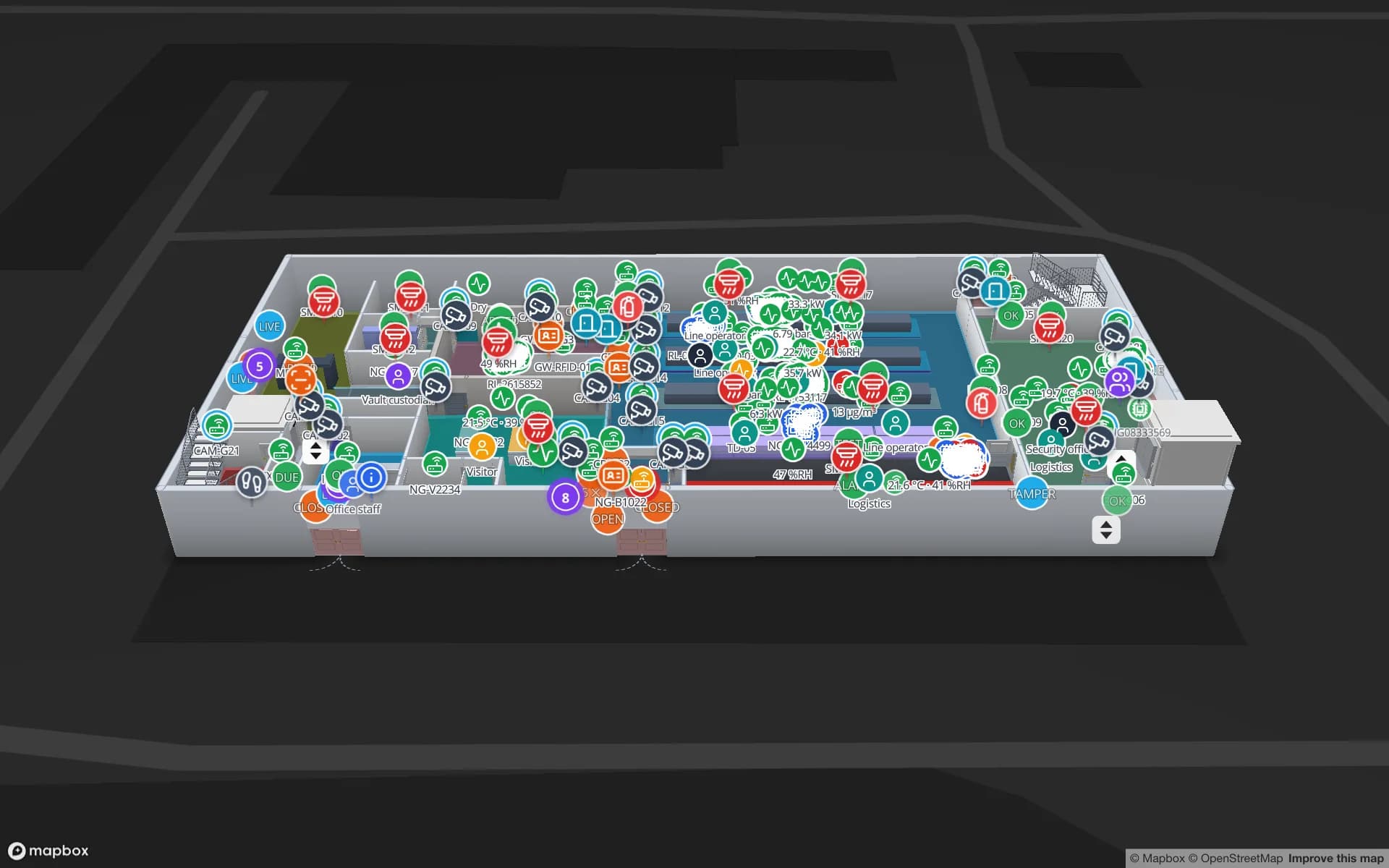
In a forwarder’s shed, ULD build-up areas, cool rooms and secure cages are drawn on the plan; high-value consignments are followed through the cage gate by RFID, and temperature-sensitive ones sit in the room that holds them, coloured by the latest reading. The Northgate demo follows 863 tagged units through a cage and vault, and the History player replays a unit’s path for an investigation.

Thames ports and the M25 distribution belt

East of the city, London Gateway and Tilbury on the Thames in Essex handle containers and other cargo for the South East, and large distribution centres line the M25 and the approaches to the Dartford Crossing. These buildings are bigger and run around the clock: forklifts, reach trucks and order pickers tagged with BLE or UWB show as live markers, pallets are read at the dock doors and the trailer yard is in view, as in the Crestline Fulfillment demo with 2,204 rack locations.

Data centres from Slough to Docklands

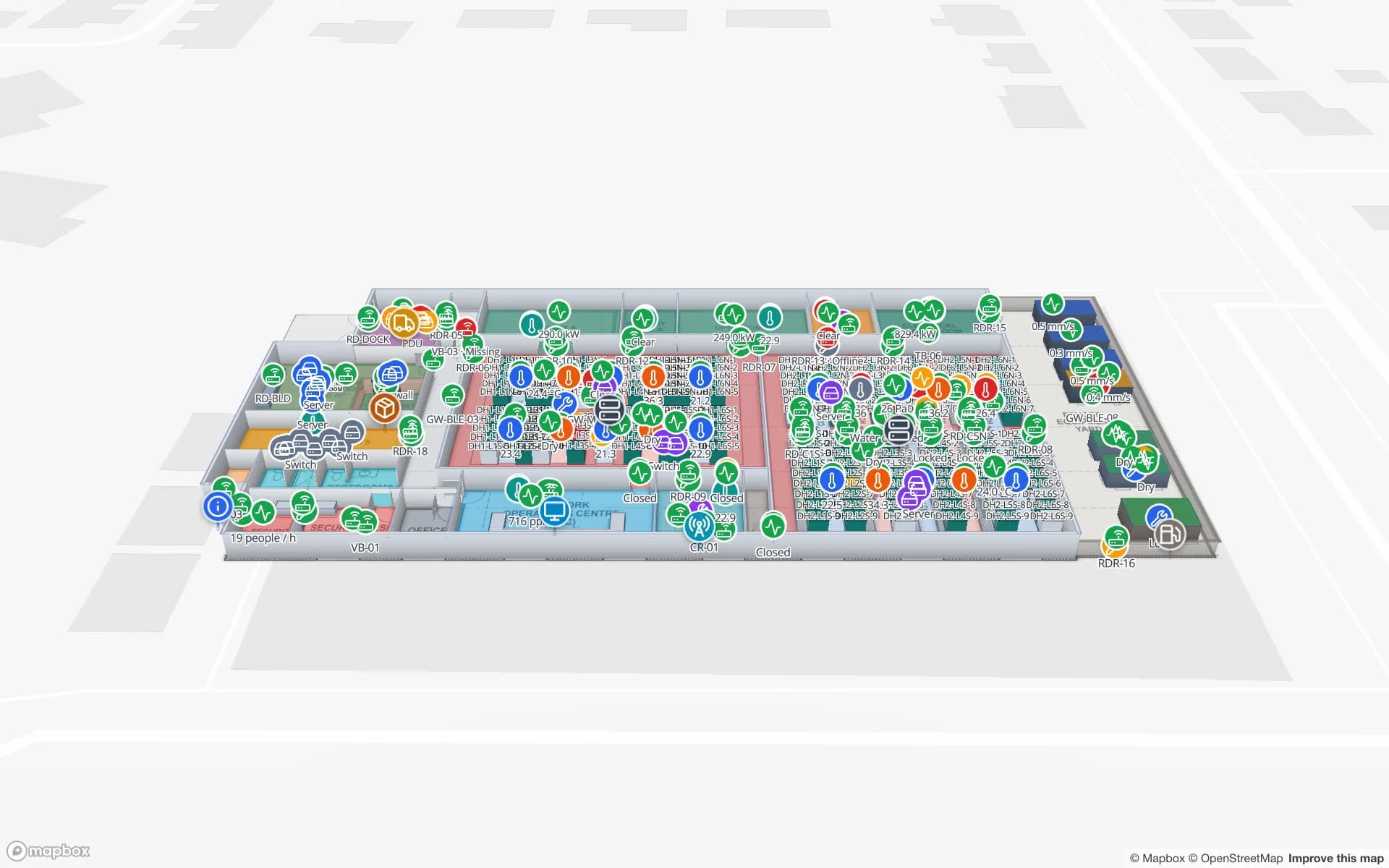
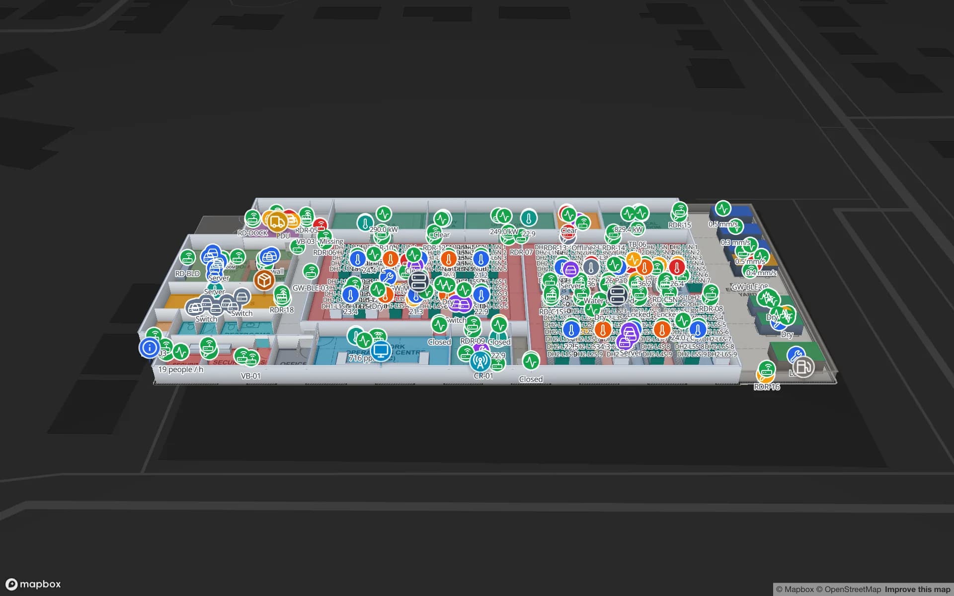
Greater London has one of Europe’s largest concentrations of data centres, clustered west of the city around Slough and east in Docklands. Their teams track servers, spares and loan equipment cabinet by cabinet. The Ridgeline Data Center demo maps 24 cabinet rows with aisle sensors, IT assets and spares; an RFID audit or BLE tags show which cabinet an asset is in, and Ask AI (beta) answers questions such as which spares are in which hall.

The same equipment-tracking pattern is used by NHS trusts and other large estates for shared equipment; Spatial Map can show such positions, but we have no hospital demo and make no clinical claims.

Arenas, stadiums and exhibition halls

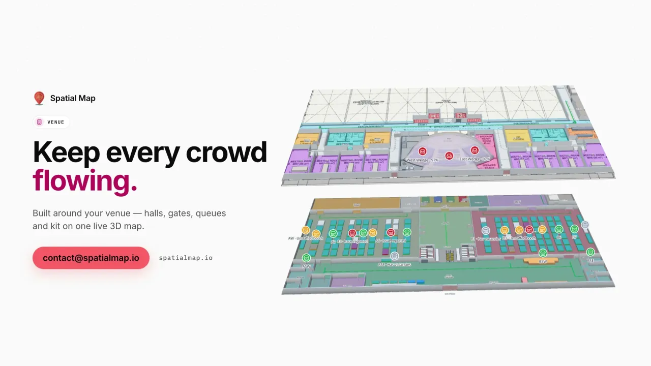
From Wembley in the north-west to the exhibition halls and arenas of the Docklands and the Greenwich peninsula, London runs large events most weeks. Crews move staging, catering carts and loan equipment between docks and halls; BLE tags show where they are now. Stewards, contractors and visitors get read-only links with routes across floors and a Step-free option, as in the Crown Park Stadium and Lakeside Convention Center demos.

How Spatial Map does it

From RTLS positions to a London site map

  1. 01

    Map the shed or hall

    Upload a PDF or DWG and draw racks, docks, cages, charging bays and doors — or let AI Map draft them.

  2. 02

    Match the anchors

    Name zones and read points as your RTLS or middleware names them, so positions land in the right place.

  3. 03

    Stream positions as rows

    Your RTLS engine posts x/y or zone positions to a table in batches, or Spatial Map polls its REST endpoint.

  4. 04

    Set rules and share

    In-app alerts on counts or quiet tags, history playback and read-only links for clients.

What London teams track

Last-mile sheds

Roll cages, vans and charging bays on a cramped shed and yard plan.

Airport cargo cages

High-value consignments through the cage gate, with a read trail.

Data-centre assets

Servers, spares and loan kit by cabinet, with audits on the map.

Event venues

Crews and equipment by hall, step-free routes for visitors.

See it on real demo facilities

Fictional names, real floor plans, live sensors, RFID, BLE tags and gateways — open any of them in the browser.

All 13 demo facilities

London — frequently asked questions

No. Positions come from your RTLS, gateway software or middleware — BLE, UWB or RFID — and are written to a table. Spatial Map draws them on the map, keeps their history and runs alert rules on them.

No. Zones, marshalling areas and charging bays are shapes you move or redraw in minutes; racks keep their locations. Changes save with undo and redo, and the live data follows the new shapes.

Yes. A read-only share link shows only the floors and layers you choose, with an expiry date and a view cap, and can be revoked at any time. The client needs no account.

Technically yes, if your RTLS reports badge positions. Under UK GDPR that is monitoring workers, so check the ICO’s guidance and talk to your legal advisers first; many London sites track cages, vans and equipment instead.

No. Spatial Map is sold online and our team works with London customers remotely, by video call and through the contact form. Maps are built from your drawings, so no site visit is needed.

The same worldwide, in US dollars: a 7-day free trial for up to 5 facilities with no credit card, then Pro at $60 a month or $600 a year for up to 4 facilities. Multi-site estates are quoted as custom services.

Put your RTLS positions on a London site map.

Start a free trial and open the Crestline and Ridgeline demos, or send us a floor plan and a sample of your position data through the contact form.