Belfast · The harbour estate, Irish Sea freight and cross-border stock

Inventory tracking in Belfast, for stock that may take one of two routes

Spatial Map puts stock on a live 3D map of the warehouse or shop where it sits, so a pallet in a bay, a carton at a door or a shelf in a stockroom each appear where they are, coloured by the status your own systems keep. Inventory tracking in Belfast has a feature few UK cities share: goods arrive across the Irish Sea through one busy harbour, and some of what a depot holds stays in Northern Ireland while some may go on to Ireland. Your readers and WMS supply the data; Spatial Map shows each item in place, and which route it is on.

No credit card. Runs in the browser. Pro is $60/month for up to 4 facilities. Book a demo

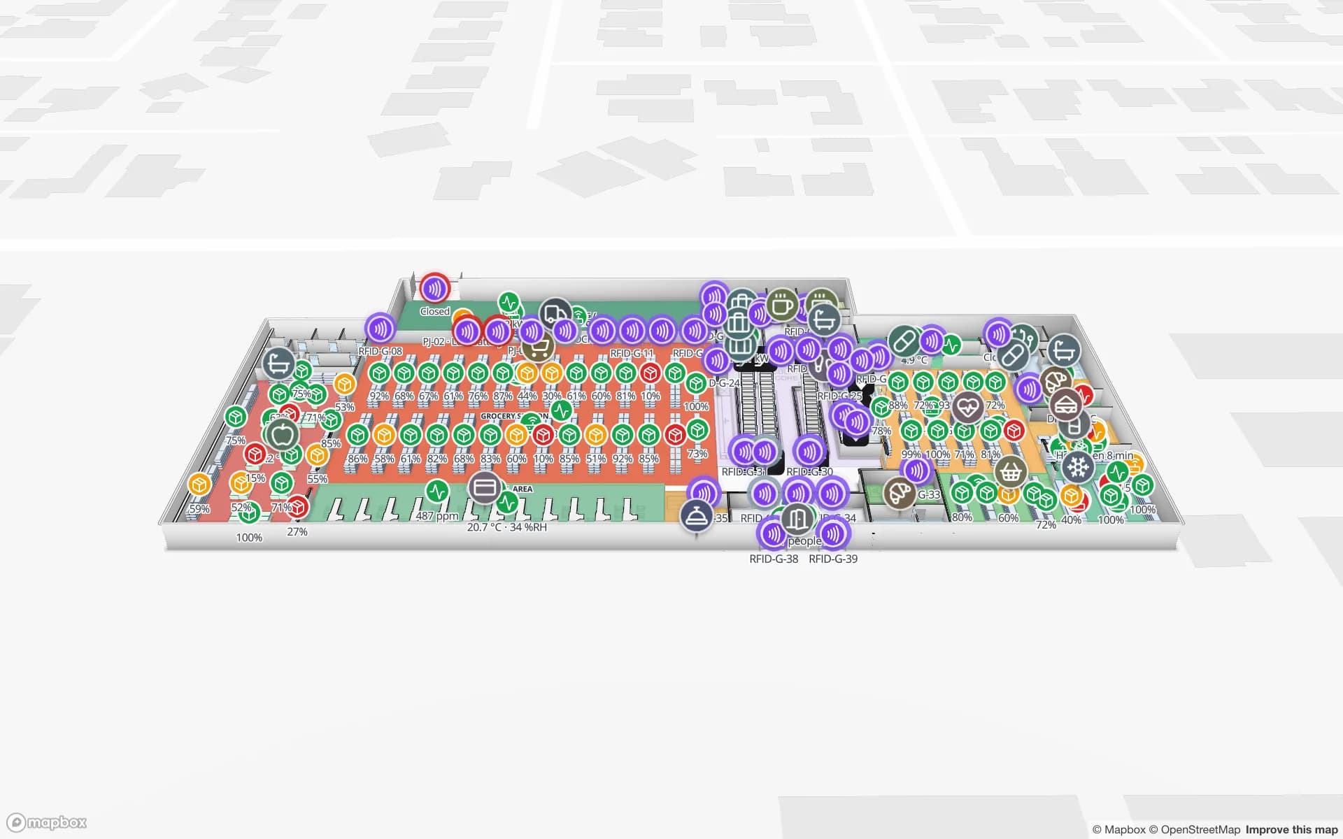
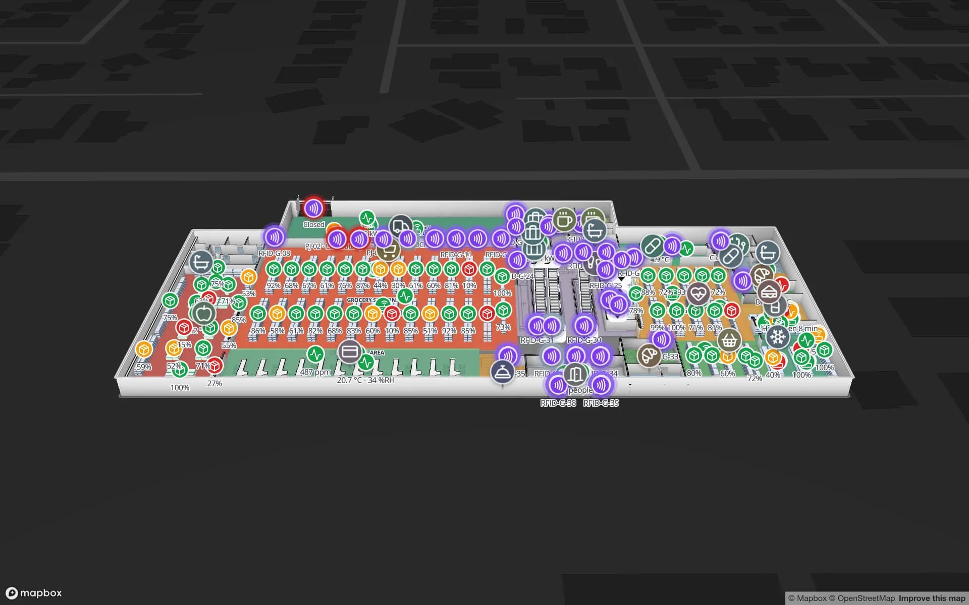
Retail Mart Store, a three-floor retail store demo, in the Spatial Map 3D viewer with live device markers
Retail Mart Store
Retail Mart, a demo three-floor shop: 85 RFID readers at doors, escalators and lifts, shelf and department stock, fridge sensors and BLE trolleys.
RFID readers in the Retail Mart demo shop
85
Rack locations in the Crestline fulfilment demo
2,204
RFID pallets moving through the Eastport demo
1,180
Free trial, up to 5 facilities, no card
7 days

Belfast Harbour: a trust port with room to grow

A report on the harbour’s May 2026 plan describes Belfast Harbour as a Trust Port and the second-busiest port on the island of Ireland, after Dublin Port. The estate covers about 2,000 acres of land and 1,000 acres of water, and the 25-year, £1.3 billion plan the harbour announced includes a new logistics park, a berth extension at the container terminal and a clean-energy hub. Those are proposals, not buildings.

What exists today is a ring of depots, cold stores and distribution units around the estate that receive trailers and containers and turn them into pallets in racks. In a depot like that an inventory record that is out by a pallet matters more, because the next delivery is tied to a ferry or sailing timetable. Tag pallets or cartons at goods-in, read them at the door and the rack, and the map shows what arrived, where it went and what is missing. The Crestline demo shows 2,204 rack locations coloured by stock status, with dock doors and staging lanes.


One depot, two sets of rules

The Windsor Framework was announced on 27 February 2023 and changed how goods move between Great Britain and Northern Ireland. The government’s guidance says traders with a UK Internal Market Scheme authorisation can move goods that are “not at risk”, brought in for sale or final use by end consumers, using a simplified dataset called Internal Market Movement Information. A cross-border trade body’s guide adds that goods bound for the EU, including Ireland, use the red lane with full EU customs checks, and that a Duty Reimbursement Scheme exists for goods that never enter the EU.

For a wholesaler or distributor that can mean the same building holds stock that will stay in Northern Ireland and stock that may go on to Ireland. Keep them apart in the building and in the data: draw separate areas, give every pallet a status or route column in your WMS and colour the map by it, so a picker or a manager sees at a glance which route a pallet is on. Spatial Map is not a customs system. It does not make declarations, classify goods or hold authorisations, and the rules and dates have changed more than once, so confirm the current position with the government’s guidance.

From the depot to the shop floor

For agri-food goods sold through shops there is a separate retail movement scheme, the Northern Ireland Retail Movement Scheme, in the government’s guidance. Whatever the paperwork, the physical problem at the other end is the same: the shop’s stock record has to match the stockroom and the shelf. Item-level RFID tags, read at shop doors, stockrooms and fitting areas, let the record catch up with the shelf in minutes rather than at the next count.

The Retail Mart demo places 85 readers at doors, escalators and lifts across three floors, and colours departments by stock level. For a retailer with several shops, each shop is its own facility in one workspace, and the depot’s outbound lanes sit on the same map as the stockrooms they supply. See RFID for retail and the docs example on RFID gate readers on a retail floor.

What a count can and cannot prove

A tag read proves that a tag was in a reader’s field, not that the carton under it holds what the label says. A good count reconciles three things: reads at the doors, reads at the rack and the figure in the WMS, and flags a pallet that was read in and never read out, or read out and still in the rack. The post on how RFID stock counting works explains read rate versus count accuracy, and RFID read rates and missed tags lists why reads are missed.

A “count of matching items” rule can raise an in-app alert when too many pallets sit in a receiving lane, or when a status such as “held” appears on more pallets than usual; rules are checked every 15 seconds and shown in the bell, toast and Alerts page, with no email or SMS. Spatial Map does not decide what is in a box or reconcile with your accounts; it shows what your reads and systems say.

Services for teams in Belfast

Where Belfast teams usually start depends on the building:

  • Wholesalers and depots near the harbour usually begin with inventory tracking at the dock doors and racks, then add a route or status column.
  • Retailers start with item-level reads at shop doors and stockrooms, then connect the depot; see RFID stock counting.
  • RTLS and UWB matters mainly for big yards and sheds where trucks and forklifts must be located continuously; most buildings will not need it first.
  • If you have no readers or tags yet, our team can source RFID readers, antennas and tags on request, quoted per project, with warranty and device support from the manufacturer: see hardware and demo kits on request.
  • WMS integrations and handheld stock-take apps are built as client projects, including an RFID inventory system; the product runs as cloud or on-premises.

Also served nearby

The same approach covers Newtownabbey, Carrickfergus, Lisburn, Dundonald, Newtownards, Antrim, Craigavon and Larne, and the depots along the M1, M2 and A8. Nothing needs to be installed at any of them: the map opens in a browser.

How Spatial Map does it

From the receiving door to a shop shelf

  1. 01

    Pick one depot or shop

    The building where a stock record that is out by a pallet or a box costs most.

  2. 02

    Map doors, racks and areas

    Upload the plan, photo or sketch, let AI Map draft the floor, and draw a separate area for each route or status.

  3. 03

    Connect reads and stock

    RFID middleware and your WMS post rows through the table write API, a polled REST endpoint or CSV and Excel uploads.

  4. 04

    Add count and silence rules

    In-app alerts for pallets held too long, receiving lanes that fill up and readers that stopped reporting.

What Belfast teams track

Harbour-side depots

Dock doors, yard slots and pallets staged against each trailer.

Stock by route and status

Rack locations coloured by the route and status column your WMS keeps.

Shops and stockrooms

Item-level reads at doors, stockrooms and floors across a multi-level shop.

Chilled and food stock

Cold rooms and pallets on one map, with readings from your own sensors.

See it on real demo facilities

Fictional names, real floor plans, live sensors, RFID, BLE tags and gateways — open any of them in the browser.

All 13 demo facilities

Inventory tracking in Belfast — questions we get

No. It does not make declarations, classify goods, hold authorisations or connect to customs systems. It shows where stock physically is and the route or status column your WMS keeps. Your own procedures and the government’s current guidance remain the record.

Yes, as a matter of layout and data. Draw separate areas, add a route or status column to your WMS rows, and colour the map by it. Spatial Map does not decide which route a pallet belongs to; it shows what your system says.

No. There is no link to port, ferry or terminal systems and no prediction of arrivals. It shows what happens inside your own building once a trailer or container has arrived.

Often, if the items suit tags and you read them well. The result depends on the tag, the item and the reader set-up, so pilot one department first. The map shows reads against the WMS figure and flags differences; it does not replace a check of what the tags are on.

No. Spatial Map is sold online and our team works with customers in the UK remotely, by video call and through the contact form. There are no local resellers or partners, and nothing is installed on site.

No. Pricing is the same worldwide and in US dollars: a 7-day free trial for up to 5 facilities with no card, then Pro at $60 a month or $600 a year for up to 4 facilities. RFID hardware, if you ask us to source it, is quoted per project and is not part of the subscription.

Map one Belfast depot before the next sailing.

Start the free trial and open the Crestline demo, or send us the plan of a depot or shop and a sample of your stock data through the contact form.






