Berlin · Trade-fair grounds, Tempelhof, BER, Tegel

Indoor mapping in Berlin, for buildings the size of small towns

Spatial Map turns a floor plan into a multi-floor 3D map that runs in a browser, with live data from your sensors, readers and tables on top. Indoor mapping in Berlin means buildings that are big, old or brand new: exhibition halls built in the 1930s, an airport terminal from 1941 that is now a venue, an airport that opened in 2020, and a former airport site that is becoming a technology park. Upload the plan you have, in PDF, DWG or as an image, and draw the rest on top.

No credit card. Runs in the browser. Pro is $60/month for up to 4 facilities. Book a demo

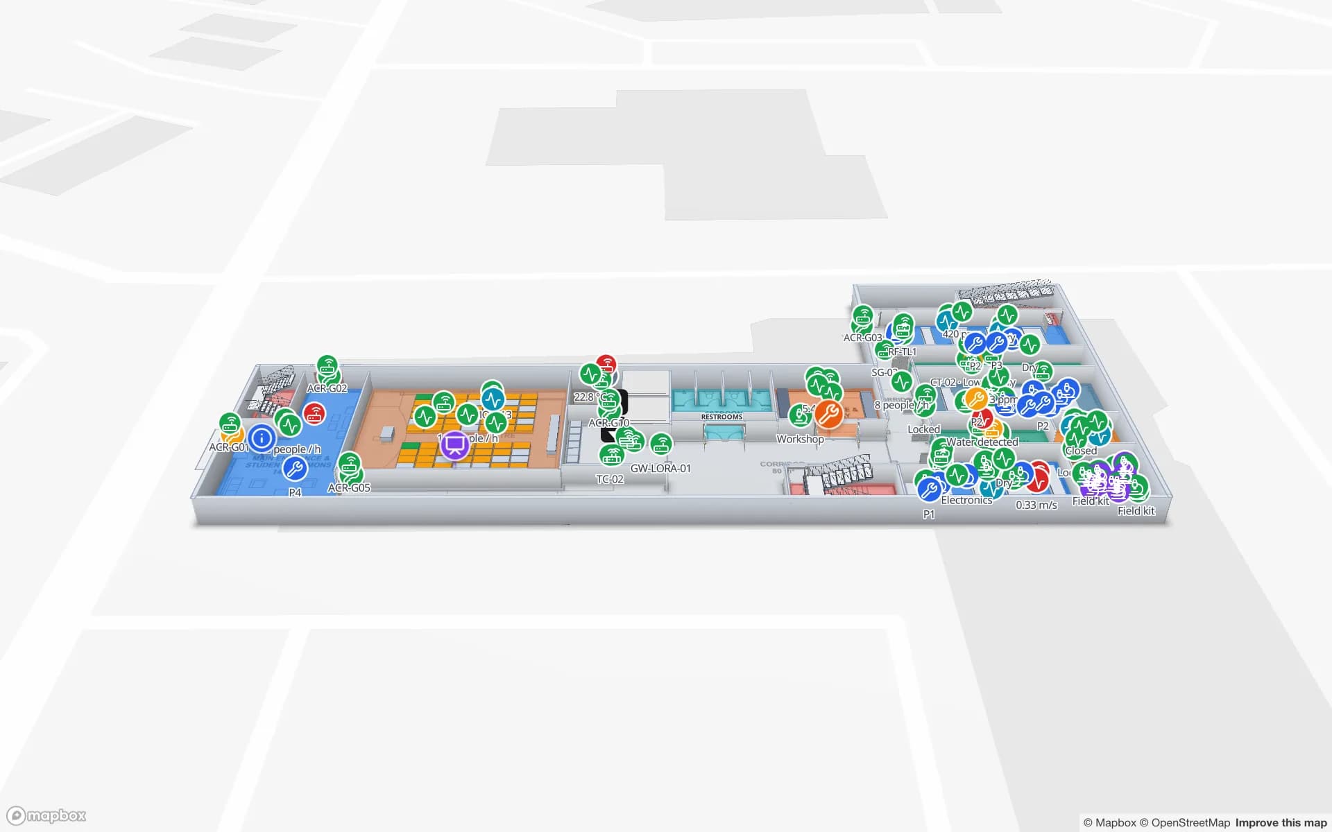
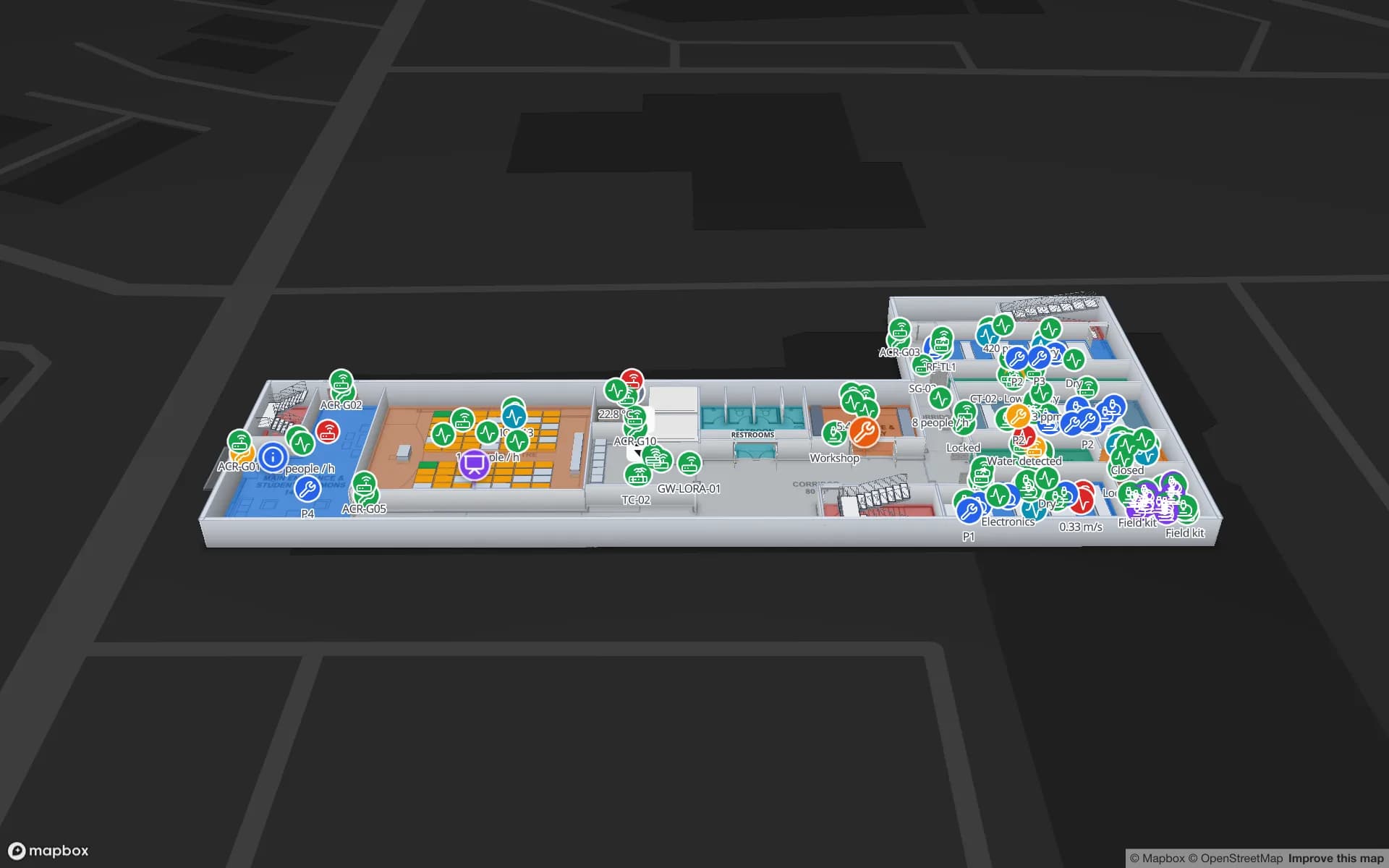
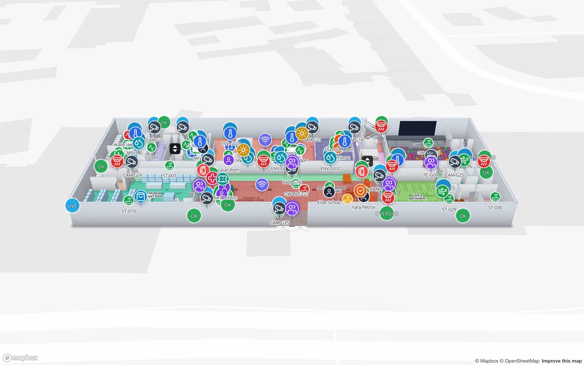
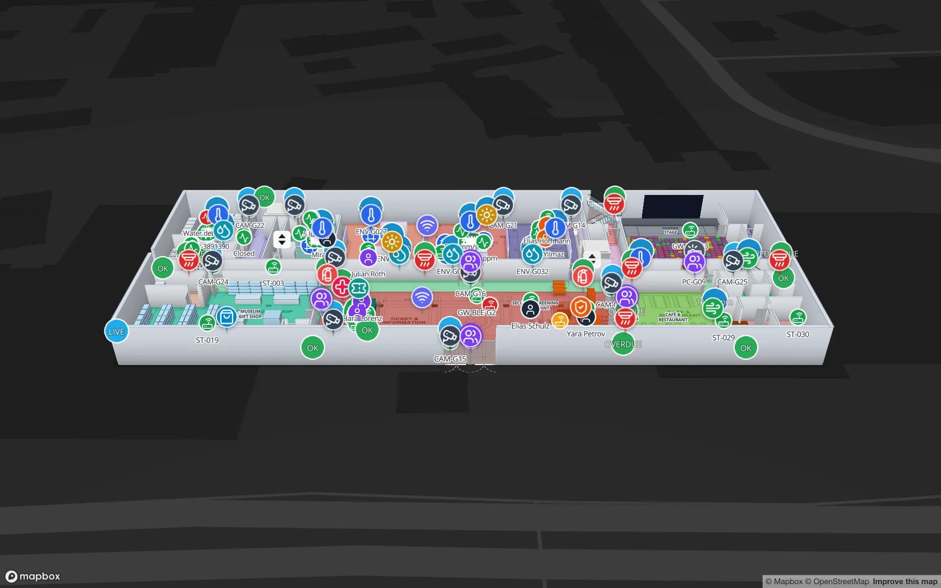
Lakeside Convention Center, a convention center demo, in the Spatial Map 3D viewer with live device markers
Lakeside Convention Center
Lakeside Convention Center, a two-floor demo venue: exhibition halls with booth blocks, session rooms, registration and loading docks with live occupancy.
Demo facilities, from a convention center to an airport
13
AutoCAD R2004–R2018, placed as a picture
DWG
German interface, one of six languages
Deutsch
Free trial, up to 5 facilities, no card
7 days

The fairgrounds: halls, a tower and a lot of temporary walls

Trade fairs have been held on the Messe Berlin grounds under the Funkturm since 1924. A tourism page for the site gives 170,000 m² of exhibition halls and 100,000 m² of outdoor exhibition area, and says the CityCube has room for 11,000 delegates. For an organiser, an exhibitor or a freight team the problem is the same each time: the building is fixed, but every event rebuilds it with stands, aisles, loading routes and storage.

Draw the halls once, then keep one layer for each event: booth blocks, meeting rooms, first-aid points, exits and the freight marshalling area. Crates tagged with RFID can be followed from the dock to the stand, and occupancy sensors colour each hall. The Lakeside Convention demo shows exactly that pattern: booth blocks, session rooms, registration and loading docks on two floors. See also indoor mapping for stadiums and venues and the post on live 3D venue operations.


Tempelhof and the problem of the very large old building

The Tempelhof airport building was built between 1936 and 1941 to plans by Ernst Sagebiel, and the company that develops it calls it the largest architectural monument in Europe. It now offers event rentals, offices, locations for film sets, tours and an exhibition. Floor-area figures differ between sources, so none is quoted here; what matters for a map is that the building is huge, listed and full of different tenants.

Large heritage buildings are where an indoor map earns its keep. Facility staff need to know which room is which, event teams need step-free routes and exits, and tenants need to find their own space. Spatial Map draws walls, doors, stairs and lifts on every floor, and the wayfinding tool computes routes with Fastest and Step-free options and walking minutes; see indoor wayfinding. It does not offer a blue dot for visitors. Historic buildings often have only paper drawings, and the guide on digitising a paper floor plan shows how to start from a scan.

BER and the former Tegel site

BER opened on 31 October 2020, the south runway opened on 4 November and Tegel closed on 8 November, according to the federal government. BER has its own railway station with six tracks and three platforms directly below Terminal 1. An airport is a stack of layers: terminal floors, a station underneath, baggage halls, cargo sheds and offices. The Silverbay Airport demo shows gates, queues and RFID bag tags on a terminal map, and indoor mapping for airports explains how the layers fit together.

The former Tegel site is being developed as Berlin TXL and the Urban Tech Republic, a research and industrial park for urban technologies, and Adlershof is described as Germany’s largest science and technology park. New buildings arrive with design drawings from architects and engineers. Spatial Map imports PDF sheets, DWG files (AutoCAD R2004–R2018, placed as a picture) and images, not BIM models; export the sheets you need from your design software and import those. The post on indoor map vs floor plan vs BIM explains where each fits.

Services for teams in Berlin

Where Berlin teams usually start depends on the building:

  • Venue and fair organisers usually start with indoor maps of the halls and an occupancy layer, then add freight and crate tracking.
  • Campus and office operators tend to begin with asset tracking for shared equipment and room status, using BLE tags and sensors.
  • Airport and logistics teams start with inventory tracking at cargo sheds and baggage halls; RTLS and UWB is for places where people or vehicles must be located continuously.
  • If you need readers, beacons or tags, our team can source devices on request, quoted per project, with warranty and device support from the manufacturer: see hardware and demo kits on request.
  • Berlin has a large software community; where you would rather not build an integration, our team builds ERP and WMS connections and other custom software such as POS or booking systems as client projects. The product runs as cloud or on-premises.

Also served nearby

The same approach covers Potsdam, Schönefeld and the logistics parks of Brandenburg around the city ring. Nothing needs to be installed: the map opens in a browser.

How Spatial Map does it

From an old drawing to a map of the whole building

  1. 01

    Collect what exists

    Scans of old drawings, PDF sheets from architects or a DWG from facility management: one file per building or floor is enough.

  2. 02

    Align and draw

    Place each plan at real size, let AI Map draft walls, doors, stairs and lifts for a person to review, and name rooms the way your teams do.

  3. 03

    Add live data

    Occupancy sensors, door counters, RFID reads and room bookings arrive as rows through the write API, a polled REST endpoint or uploaded files.

  4. 04

    Share the map

    Read-only share links with expiry and a floor lock for contractors, exhibitors and tenants; roles for your own staff.

What Berlin teams map

Trade-fair halls and event layers

Booth blocks, aisles, loading routes and live hall occupancy for each event.

Airport terminals and cargo sheds

Terminal floors, gates and RFID bag reads on one map.

Campuses and research buildings

Rooms, shared lab equipment and room-by-room sensor readings.

Large listed buildings

Walls and floors drawn from old plans, with step-free routes and exits.

See it on real demo facilities

Fictional names, real floor plans, live sensors, RFID, BLE tags and gateways — open any of them in the browser.

All 13 demo facilities

Indoor mapping in Berlin: questions we get

No. Spatial Map is an operations map for your own teams and shared read-only links. It computes routes between rooms and floors, but it does not locate visitors with a blue dot and it does not export to Apple Maps or IMDF.

Scan or photograph the sheets, upload them as images, align each to real size and let AI Map draft the walls, doors, stairs and lifts for a person to review. Our services team can also map the building remotely for a fixed price.

No, there is no BIM or IFC import. Export the sheets you need as PDF or as DWG (AutoCAD R2004–R2018, placed as a picture) and import those; you draw the operational layer on top.

Yes. The app has a German interface alongside English, French, Spanish, Arabic and Chinese, and each person picks their own. Names you type, such as halls and rooms, stay as written.

No. Spatial Map is sold online and our team works with customers in Germany remotely, by video call and through the contact form. There are no local resellers or partners.

In US dollars, the same worldwide: a 7-day free trial for up to 5 facilities with no card, then Pro at $60 a month or $600 a year for up to 4 facilities. Larger estates are quoted as custom services.

Map one Berlin hall before the next event.

Start the free trial and open the Lakeside Convention demo, or send us a PDF or DWG of a hall, a terminal or a campus building through the contact form.