Behind the Haussmann façade, the drawing is often a scan
Napoleon III named Georges-Eugène Haussmann prefect of the Seine in June 1853, and he held the post until January 1870. Along the boulevards that were cut in those years, buildings had to share a similar height and basic façade design, which is why so many Paris blocks look alike from the street. Behind the façade they do not: courtyards, mezzanines, attic floors and a century of conversions make every building different, and the drawing you hold may be a photographed print, a scan of a permit set or a CAD file made for a refurbishment.
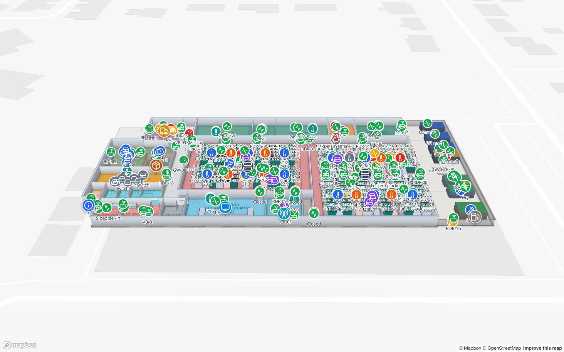
Spatial Map takes the plan as it is. Upload a PDF, a DWG (AutoCAD R2004–R2018, placed as a picture) or an image, align it to the street at real scale, and draw the floors with walls, doors, lifts and stairs. AI Map can draft walls, doors, rooms and labels from the placed plan for a person to review; it is available on paid plans and the trial, with a monthly limit, and you correct what it gets wrong. The post on digitising a paper floor plan walks through a scan that needs straightening first. For an old building the useful result is usually simple: one map per floor, rooms named the way the occupants name them, and an asset or occupancy table coloured on top.