Distribution from the Seine axis to Marseille-Fos
Île-de-France is the country’s largest logistics market, with warehouses ringed around Paris and its airports. The Seine axis links the capital with the ports of Rouen and Le Havre — now run together with the Paris river ports as HAROPA — and Le Havre is France’s largest container port. River barges, rail and trucks carry imports inland to distribution centres that serve stores and e-commerce customers across the north of the country. In the south, Marseille-Fos is France’s main Mediterranean gateway, and the Rhône corridor carries goods north towards Lyon, another major logistics hub.
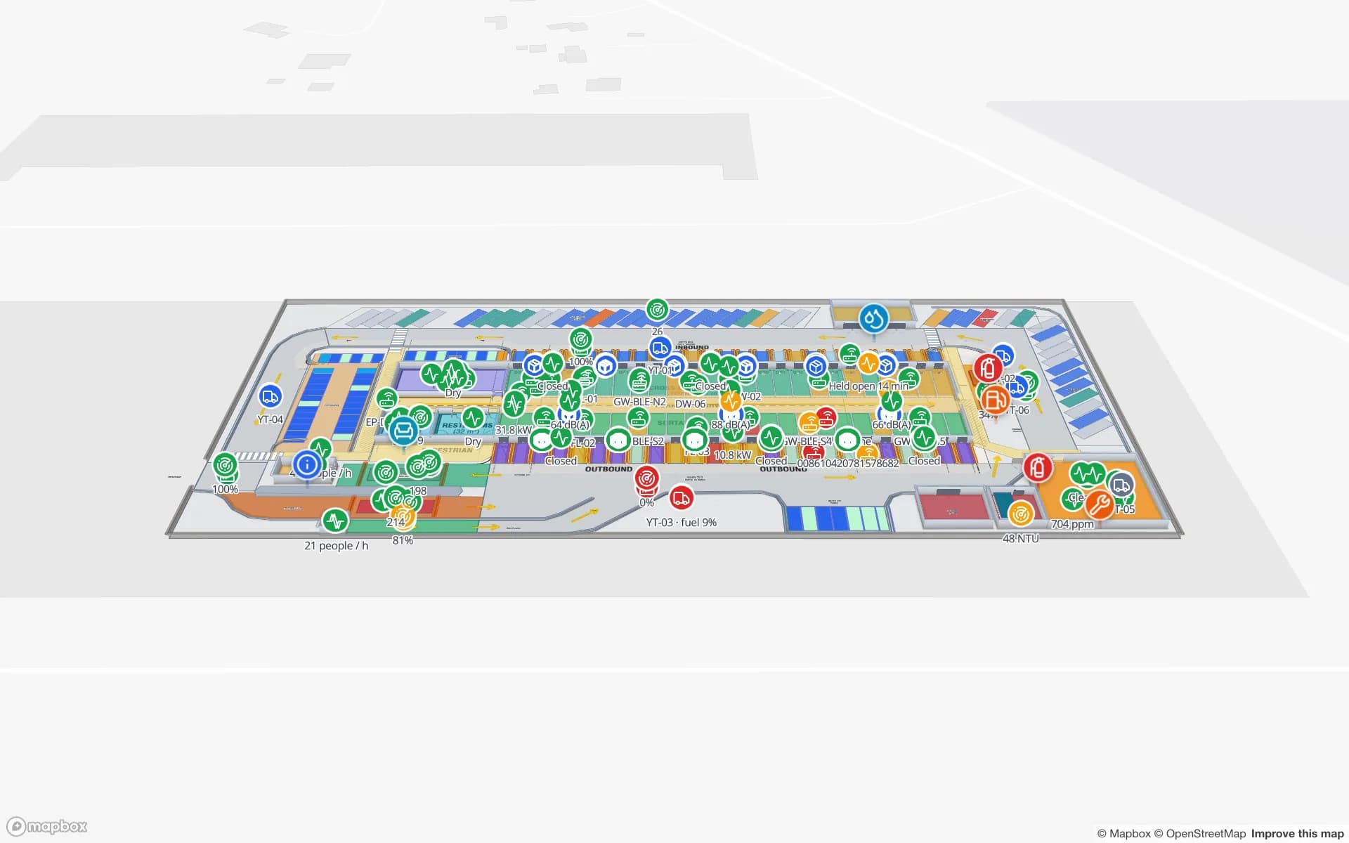
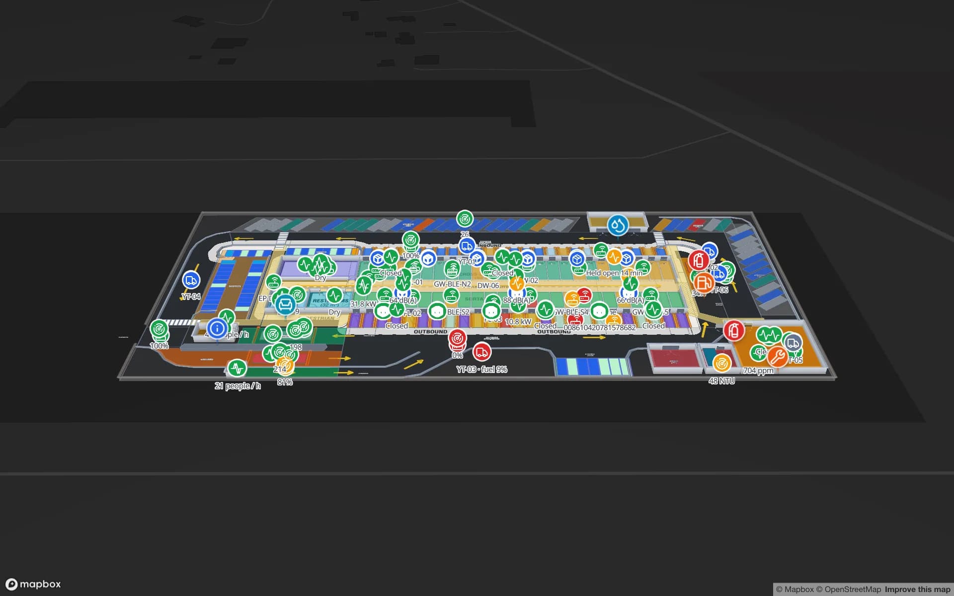
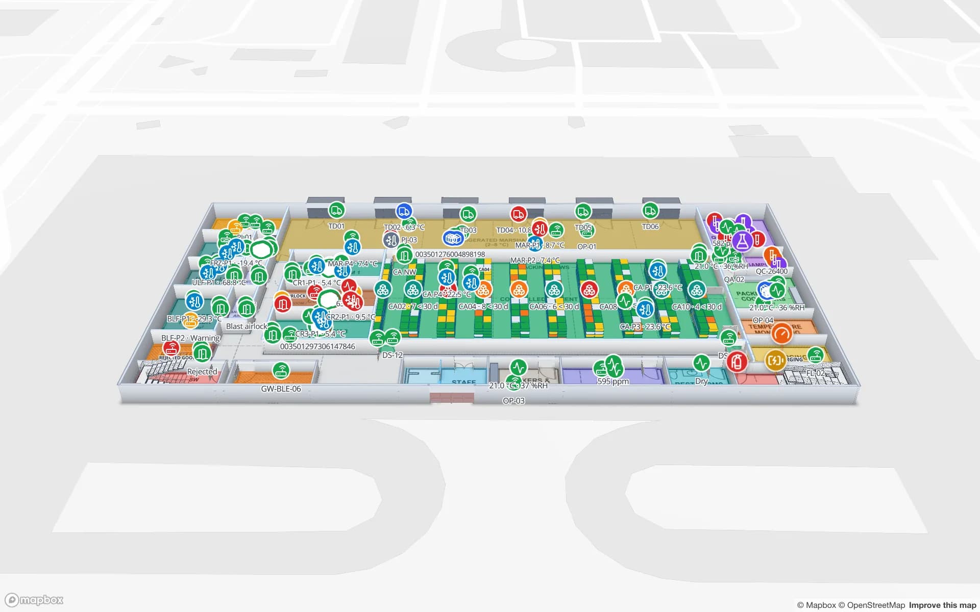
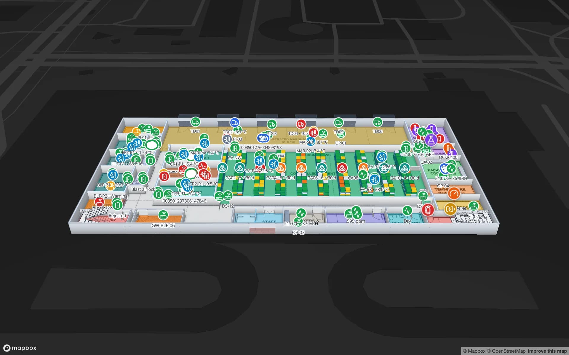
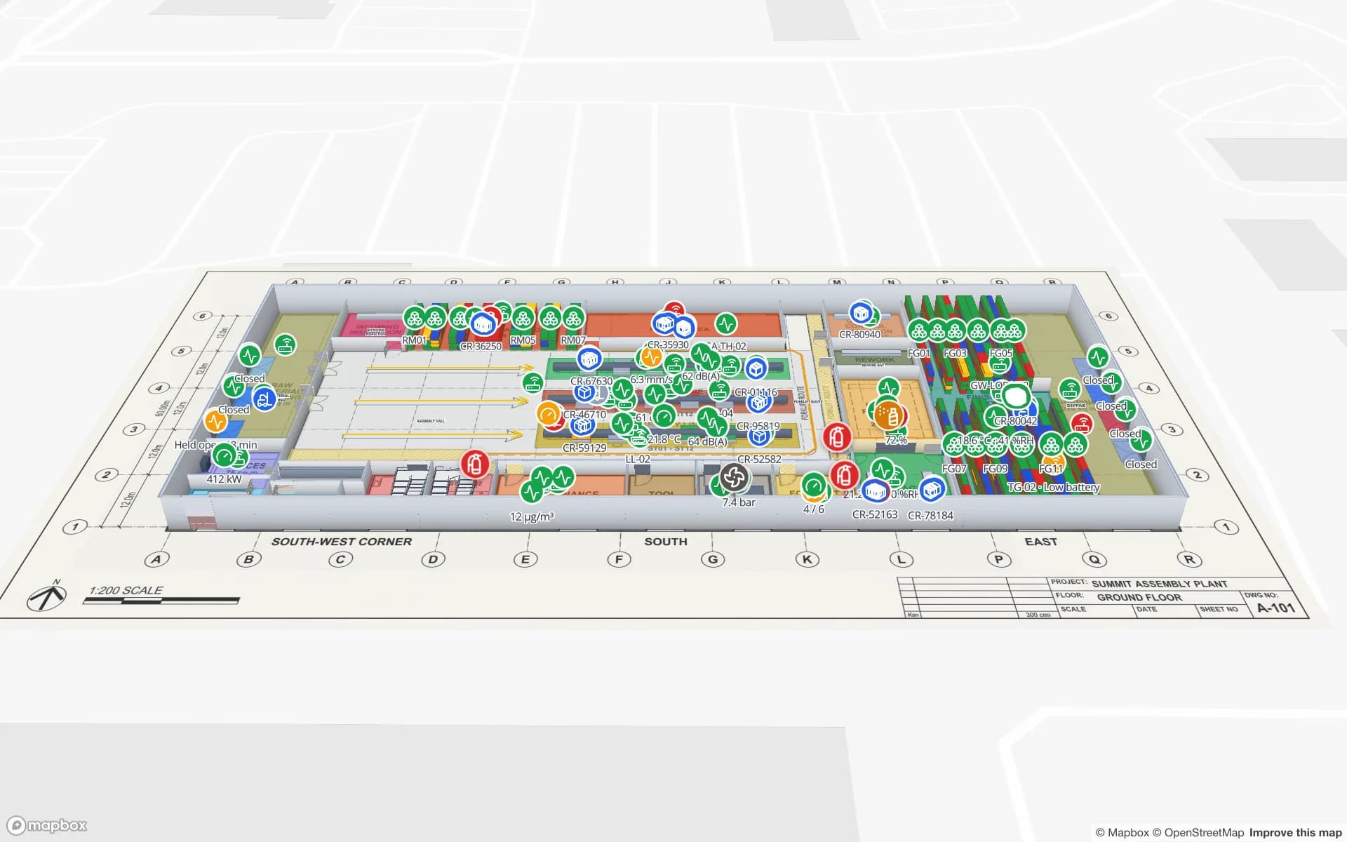
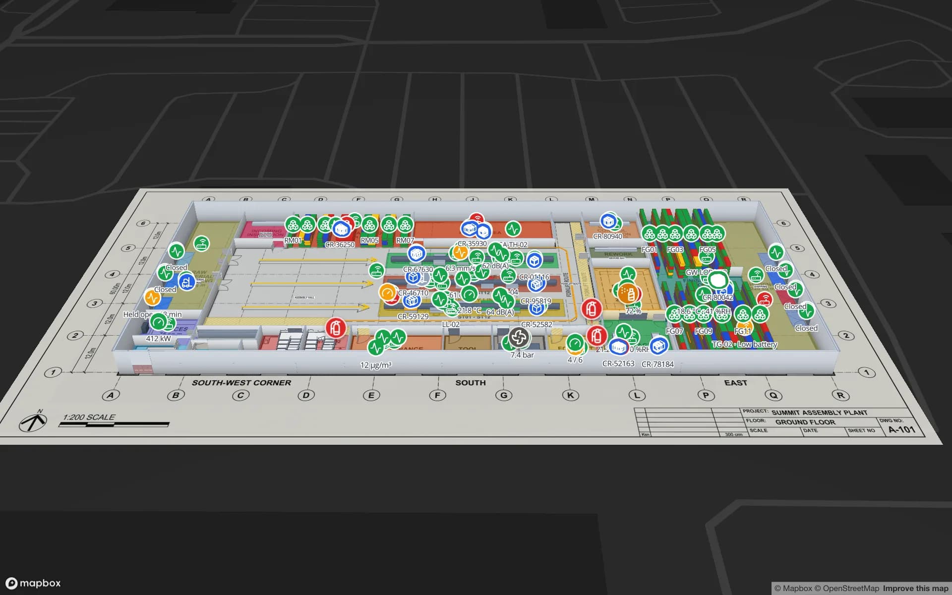
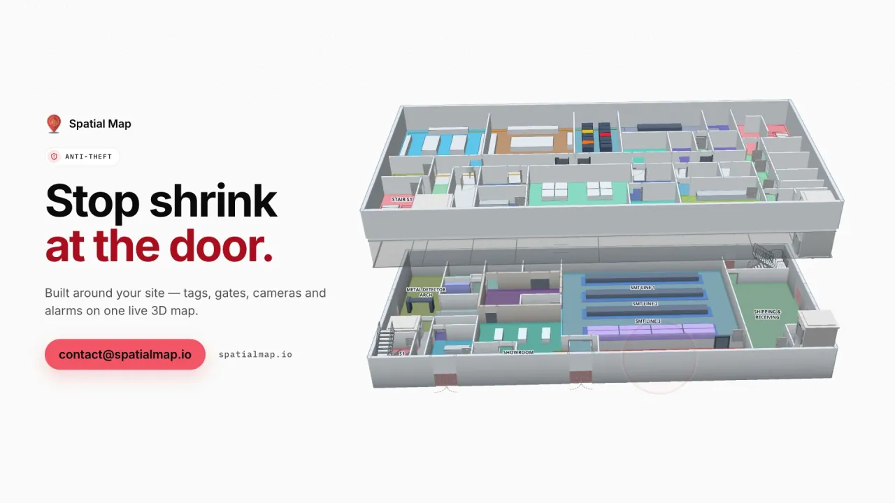
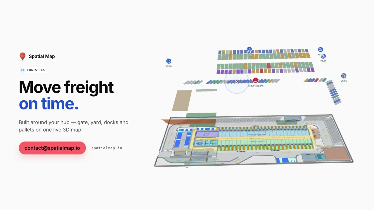
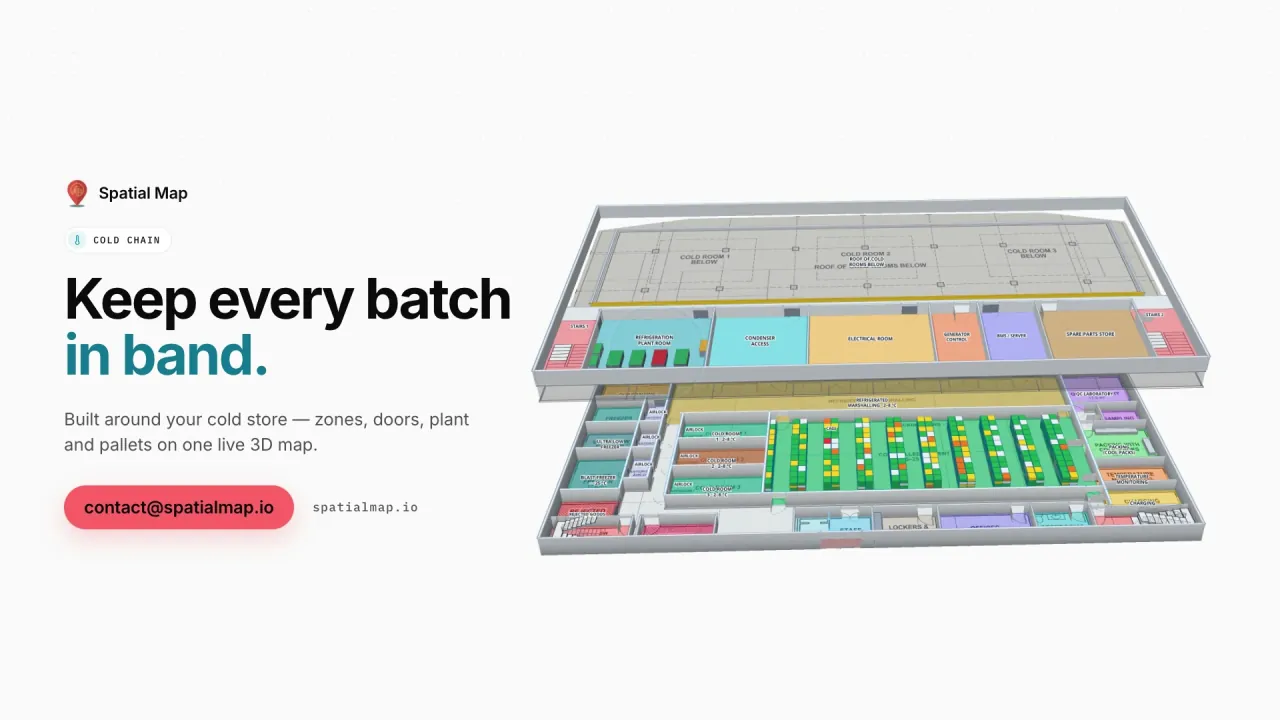
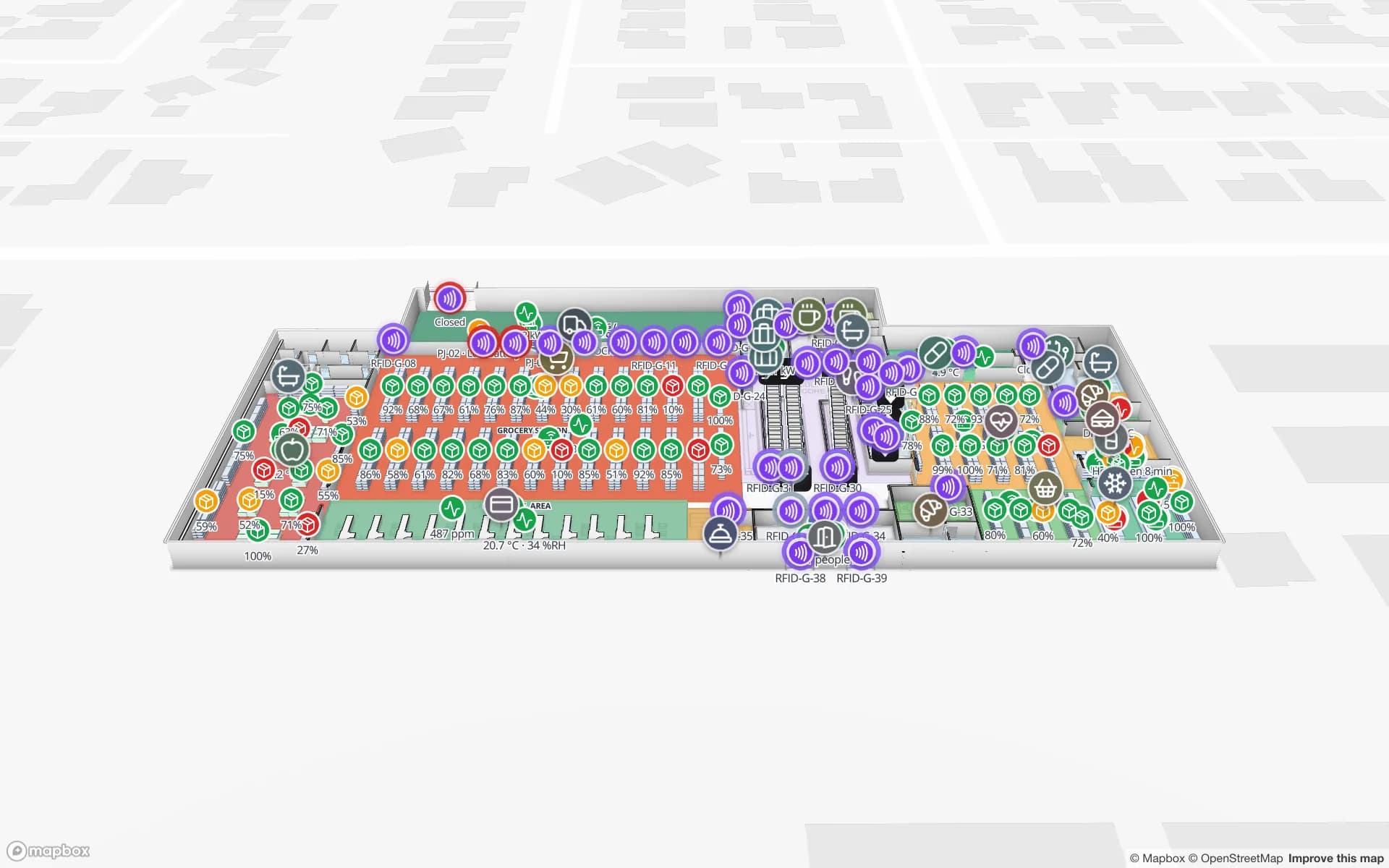
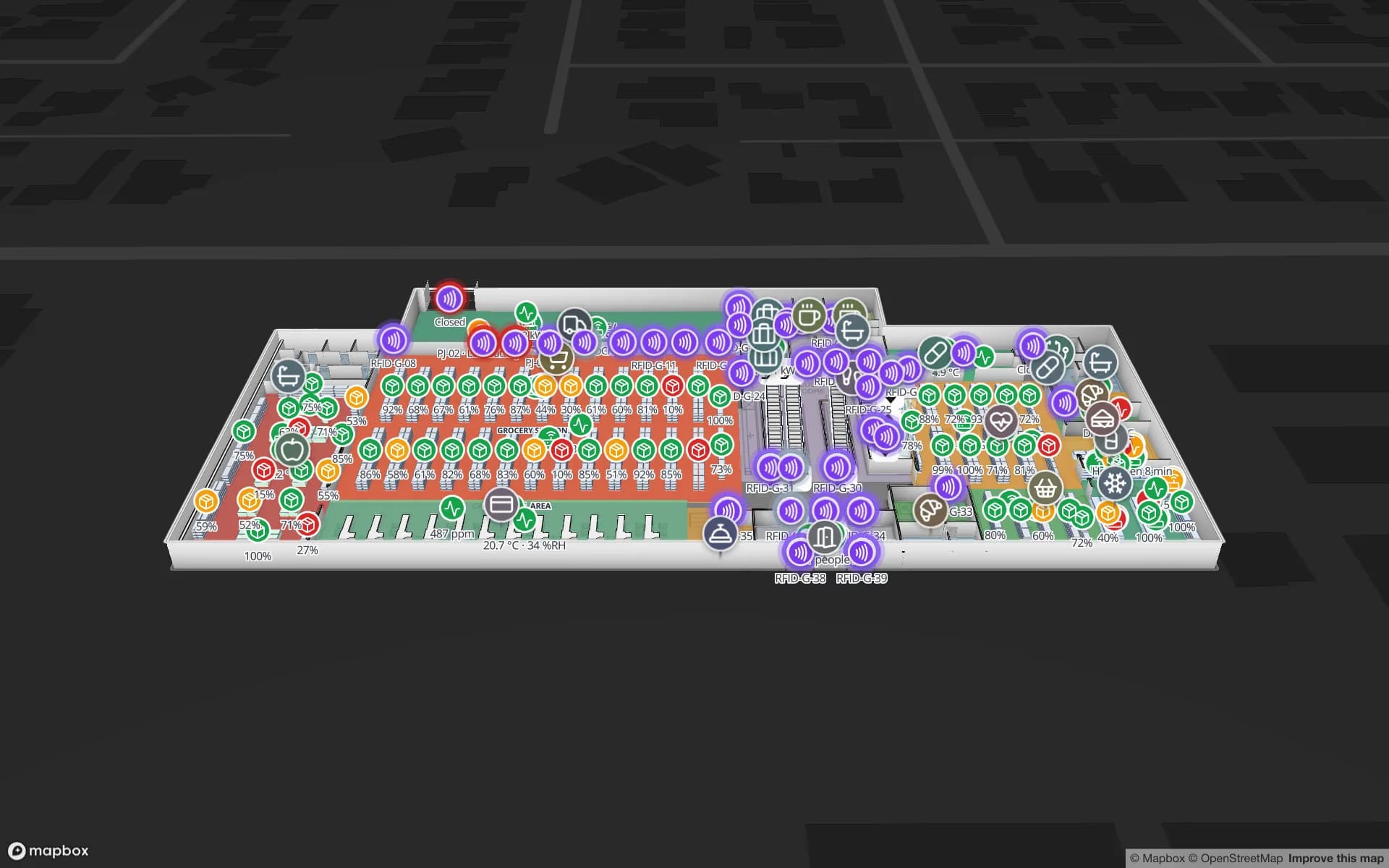
For a distribution centre on either axis the questions are concrete: which dock door the container from the port is at, what is still in the yard before the evening departures, which rack locations are blocked or empty. Spatial Map draws dock doors, yard slots, staging lanes and racks on your site plan and colours them from your WMS and RFID data. The Eastport Cross-Dock demo shows 50 dock doors, 44 yard slots and 1,180 RFID pallets on one live map.