Islamabad · Blue Area, the airport and the twin city

Indoor mapping in Islamabad and Rawalpindi: towers, terminal and tech parks

Spatial Map is browser-based indoor mapping software: it turns a floor plan into a 3D map of every floor, with rooms, doors, lifts and stairs, and puts live data on top. Indoor mapping in Islamabad has a distinctive setting — a planned capital with its own zoning code, a new international airport west of the city, high-rise towers coming to the Blue Area, technology parks and a twin city, Rawalpindi, next door — and the buildings in all of them are mapped the same way.

No credit card. Runs in the browser. Pro is $60/month for up to 4 facilities. Book a demo

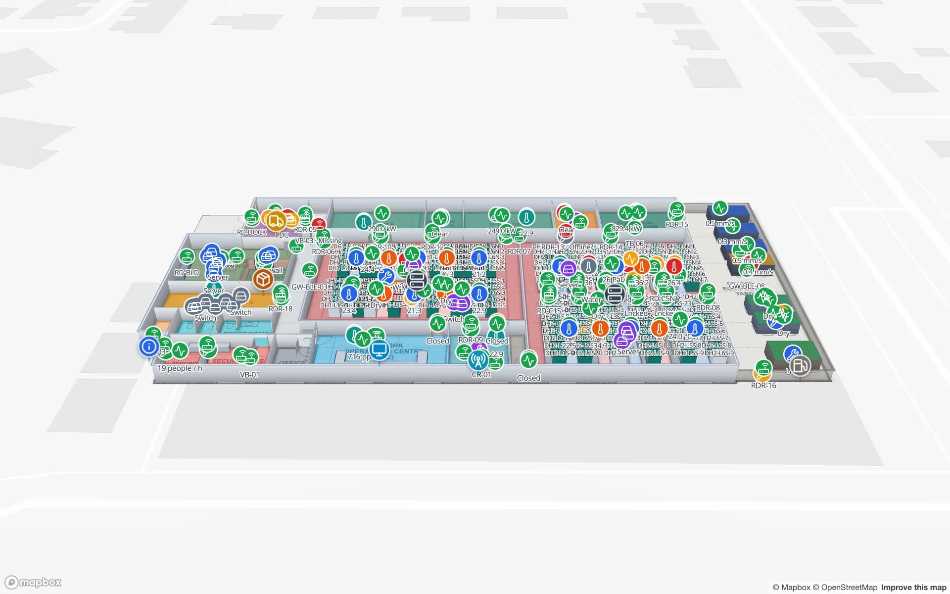
Silverbay International Airport — Terminal 2, a airport terminal demo, in the Spatial Map 3D viewer with live device markers
Silverbay International Airport — Terminal 2
Silverbay Airport, a demo terminal: check-in, security screening, gates, baggage reclaim and retail on two floors, with routes that cross floors by lift, escalator or stairs.
Floors in the Silverbay airport demo
2
Cabinet rows in the Ridgeline data-hall demo
24
Interface languages, none of them Urdu
6
Free trial, up to 5 facilities, no card
7 days

A planned capital, a zoning code and a Blue Area going vertical

Islamabad emerged as Pakistan’s capital in 1963, and the Capital Development Authority (CDA) runs it under the Islamabad Capital Territory zoning regulations of 1992 and its building by-laws. In October 2022 Dawn reported a study by the Civil Aviation Authority, with the Pakistan Air Force, recommending towers of up to 1,000 feet along the core stretch of the Blue Area (from G-6/F-6 to F-10/E-10) and up to 450 feet beyond it, with obstacle lighting and no-objection certificates from other agencies, such as the Air Force near Nur Khan Air Base.

Tall new towers mean multi-floor, multi-tenant buildings that open with a fresh set of drawings. Upload the architect’s PDF or DWG, align it and draw each floor, with its lifts, stairs and tenant suites as areas that a table colours by lease status or fit-out stage. For a visitor’s route the wayfinding tool plans across floors through lifts, stairs and escalators, with Fastest and Step-free options and walking minutes, and shows it on a read-only share link; there is no live blue dot and no mobile app. The Retail Mart demo shows a three-floor building with an escalator core and lifts. For the general case see shopping mall indoor mapping and office and campus maps.
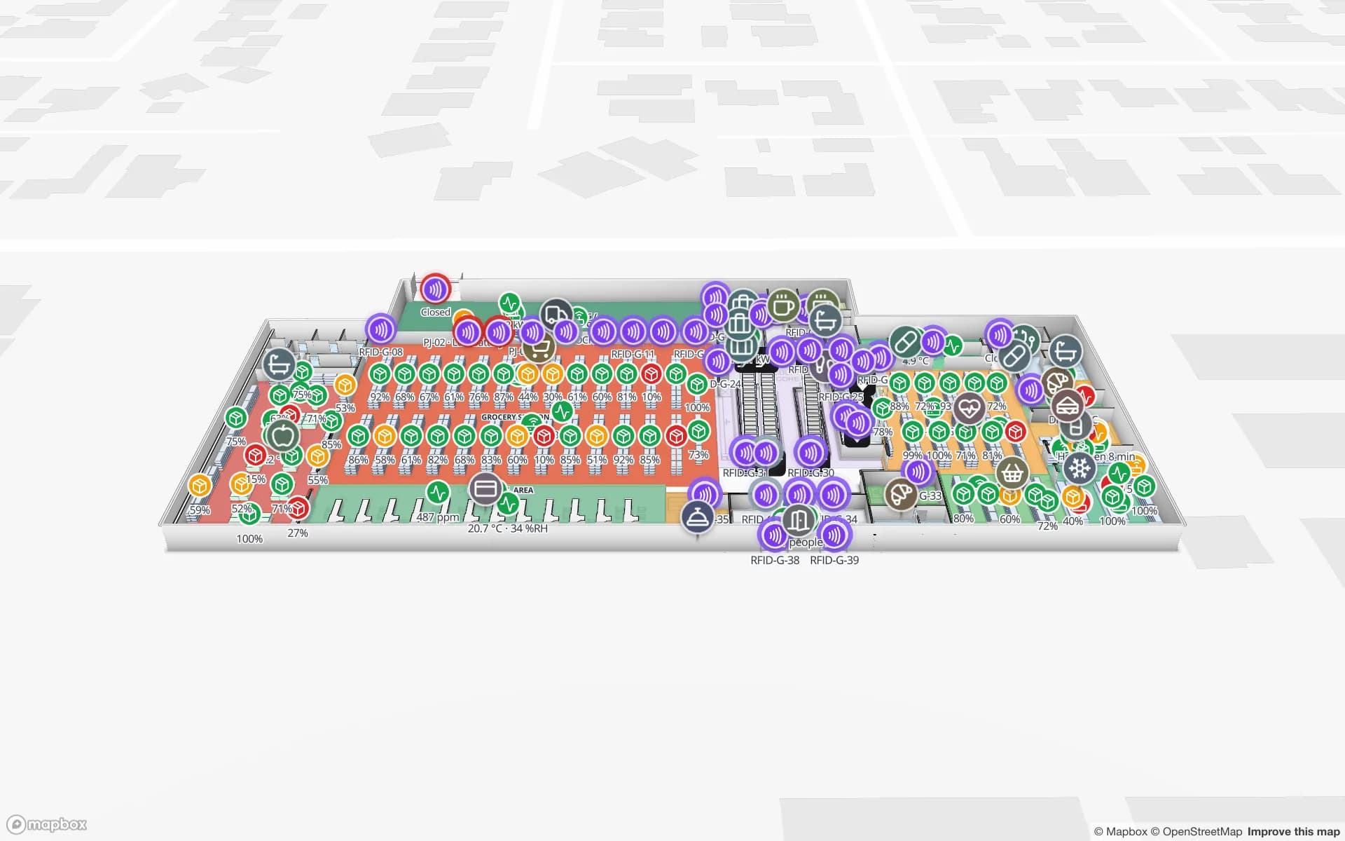
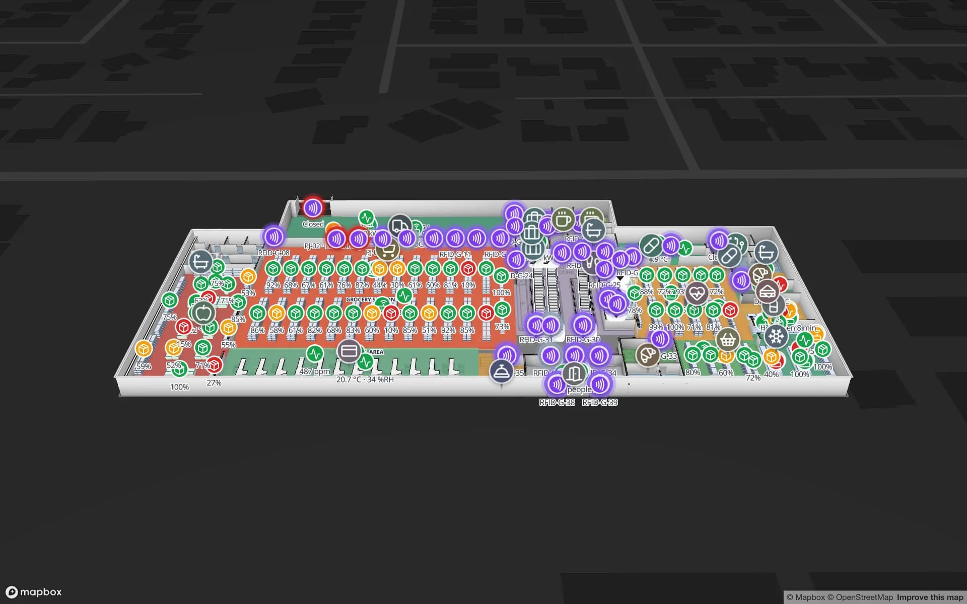
Islamabad International Airport

Islamabad International Airport, near Fateh Jang, was inaugurated on 1 May 2018, and all commercial flights moved there from the old airport at Chaklala on 3 May. It stands about 20 km from the centre of the capital and 23 km from Rawalpindi, and was designed with two runways and for the Airbus A380.

A terminal on that scale is the pattern the Silverbay demo shows: check-in islands, security lanes, gates with jet-bridges and baggage reclaim, with each zone coloured by crowding from your counters. The operations team uses it, not passengers: it shows which lift is out, how long the queue at a counter has been over its limit and where a stand-by team should go. Spatial Map is independent of the airport authority and its systems, and it reads only the data your own team sends. Airport indoor mapping covers the general case.

IT parks, technology zones and data halls

The Special Technology Zones Authority, created by an Act of 2021, licenses ring-fenced technology zones, and its list shows more notified zones for Islamabad and Rawalpindi than for any other region. Two stand out in the capital: Islamabad Technopolis, a 140-acre zone listed as under construction, and IT Park Islamabad, a 12-storey building of about 720,000 sq ft on 14.9 acres on National Park Road at Chak Shahzad, licensed as a Special Technology Zone and described as including a data centre. The authority also lists universities among its zone developers.

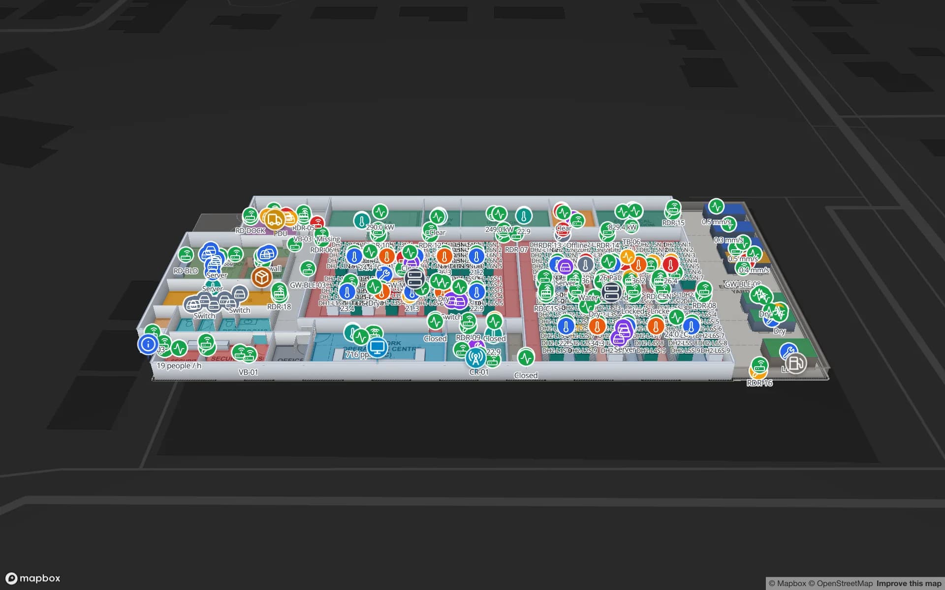
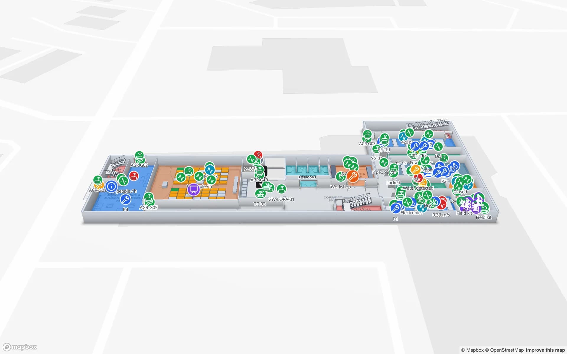
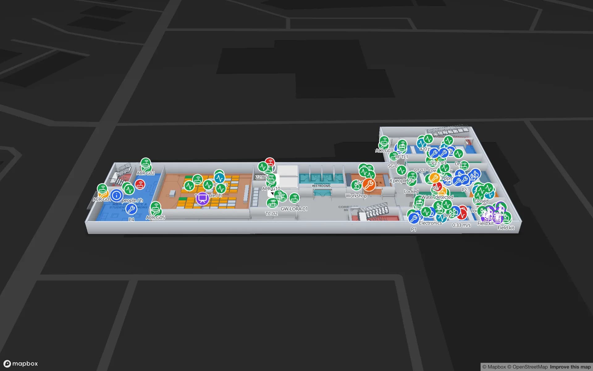
A building like that has two layers to map. The office floors need rooms, meeting rooms and tenant suites; the data hall needs cabinets, cages and sensors. The Ridgeline demo draws a hall cabinet by cabinet, with 24 rows, environment sensors in the aisles and spares tied to the cabinet they belong to, and indoor mapping for data centers explains how the rack map works. For a campus, the Westbrook demo shows teaching spaces, lab bookings and stores on two floors.

Sensitive buildings: who sees the plan

Islamabad holds the offices of government and the diplomatic missions, and floor plans of such buildings are sensitive. Spatial Map names no government buildings and makes no claim about any government or security standard; check your own rules. What it gives you is control over who sees a plan: access is limited to named members with four built-in roles (Owner, Admin, Editor, Viewer) plus custom roles, and a read-only share link can carry an expiry date, a view cap, a floor lock and a choice of layers, so a contractor sees only the floor they work on. The security page describes how data is protected.

Where a policy says the data must stay on your own network, the open-source edition is a self-hosted copy of the same app under the MIT licence, run with Docker Compose and a free Mapbox token, with no plans or limits; cloud, self-hosted or hybrid explains the three ways to run it. A hybrid setup keeps the app in the cloud and puts a small on-site agent beside your devices.

Services for teams in Islamabad

Islamabad teams usually begin with the map, not the sensors:

  • Property managers, airport and campus operators begin with indoor maps: floors, rooms, lifts, routes and tenant areas, from a plan they already hold.
  • Technology parks and data halls add asset tracking for IT equipment, with RTLS and UWB only where people or vehicles must be located continuously.
  • Warehouses and logistics yards on the Rawalpindi side are better served by inventory tracking.
  • If you want to test with real devices, our team can source RFID, BLE and UWB hardware and demo kits on request, quoted per project: see hardware and demo kits on request.
  • Room, hall and desk booking is a common request in towers and campuses; our team builds booking systems and other custom software as client projects, next to the map.

Also served nearby

The same approach covers Rawalpindi (Saddar and Chaklala), Chak Shahzad, Taxila and Rawat, and Haripur, where the authority also lists technology zones. Rawalpindi’s own warehouses and workshops are covered by the same plan and the same price.

How Spatial Map does it

Mapping an Islamabad building

  1. 01

    Start from the drawings you hold

    Upload the PDF, DWG (AutoCAD R2004–R2018, placed as a picture) or image, and align it at real scale. No BIM model is needed.

  2. 02

    Let AI Map draft, then check

    Walls, doors, labels, stairs, lifts and escalators are drafted for a person to review and add on the map.

  3. 03

    Colour areas from your tables

    Tenant suites, rooms and cabinets take their colour from rows you upload or post through the write API.

  4. 04

    Share only what each person needs

    Read-only links with expiry, view caps, floor lock and layer choice; or a self-hosted copy where data must stay inside.

Where Islamabad teams start

New commercial towers

Tenant floors, lifts and stairs from the architect’s drawings, with routes across floors.

Airport operations

Zones coloured by crowding, gates and baggage reclaim, with lifts and escalators in place.

IT parks and data halls

Cabinet rows, spares and environment sensors in the hall, rooms and suites above it.

University campuses

Teaching spaces, lab equipment bookings and chemical stores on one campus map.

See it on real demo facilities

Fictional names, real floor plans, live sensors, RFID, BLE tags and gateways — open any of them in the browser.

All 13 demo facilities

Indoor mapping in Islamabad — questions we get

Yes. A DWG (AutoCAD R2004–R2018) is placed as a picture at real-world units, and AI Map reads that picture to draft walls, doors, labels, stairs, lifts and escalators. A person reviews the drafts and adds them; you finish details with the drawing tools. A PDF or image works the same way.

Not a live position. Spatial Map plans routes across floors — Fastest, Step-free and Other route, with turn-by-turn steps and walking minutes — and shows them in the browser, for example on a share link, but it has no blue-dot visitor positioning and no mobile app.

No BIM model is needed, and Spatial Map does not export IMDF; you import a plan and draw the floors. The post on indoor map vs floor plan vs BIM explains the difference.

Yes, by self-hosting the MIT-licensed open-source edition with Docker Compose, or by a hybrid setup with an on-site agent beside your devices. In the cloud, access is limited to named members with roles, and share links can expire and be locked to chosen floors and layers. We make no certification claim; check your own requirements.

No. Spatial Map is sold online and our team works with customers in Pakistan remotely, by video call and through the contact form. The app has no Urdu interface; room names and labels you write can be in Urdu.

In US dollars, the same worldwide: a 7-day free trial for up to 5 facilities with no card, then Pro at $60 a month or $600 a year for up to 4 facilities. Larger estates are quoted as custom services.

Map one Islamabad floor from the plan you already have.

Start the free trial and let AI Map draft a floor of a tower, terminal or tech park, or send us the drawings through the contact form.