Schiphol: a drained polder and a very large indoor map
Schiphol began as a military airfield on the drained Haarlemmermeer polder: the first military aircraft landed there in 1916, and scheduled civil flying started in 1920. A century later it is a terminal complex with cargo areas around it, and most of what happens inside is indoor logistics — passengers and bags through lanes and gates, freight through sheds, ground equipment between them.
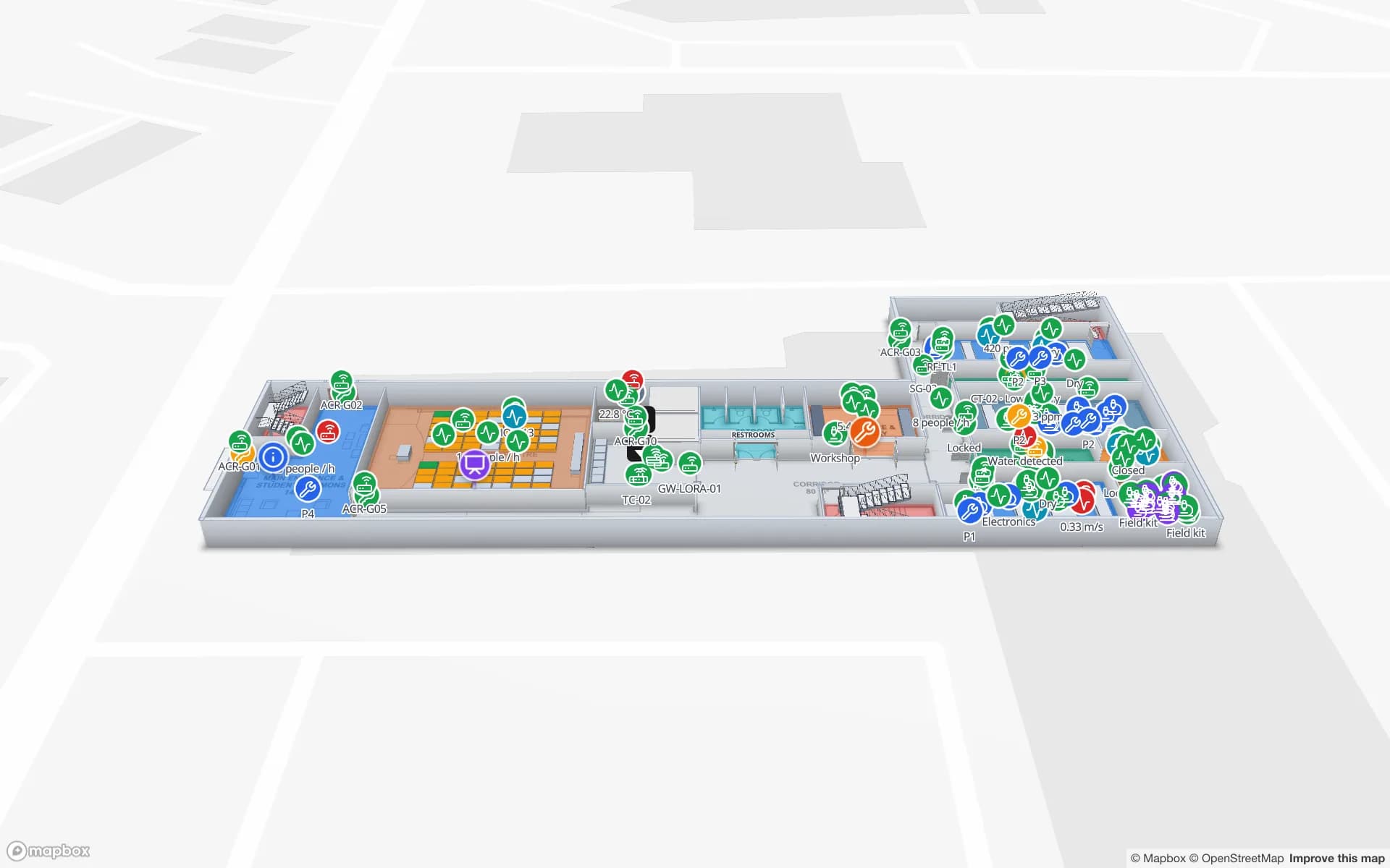
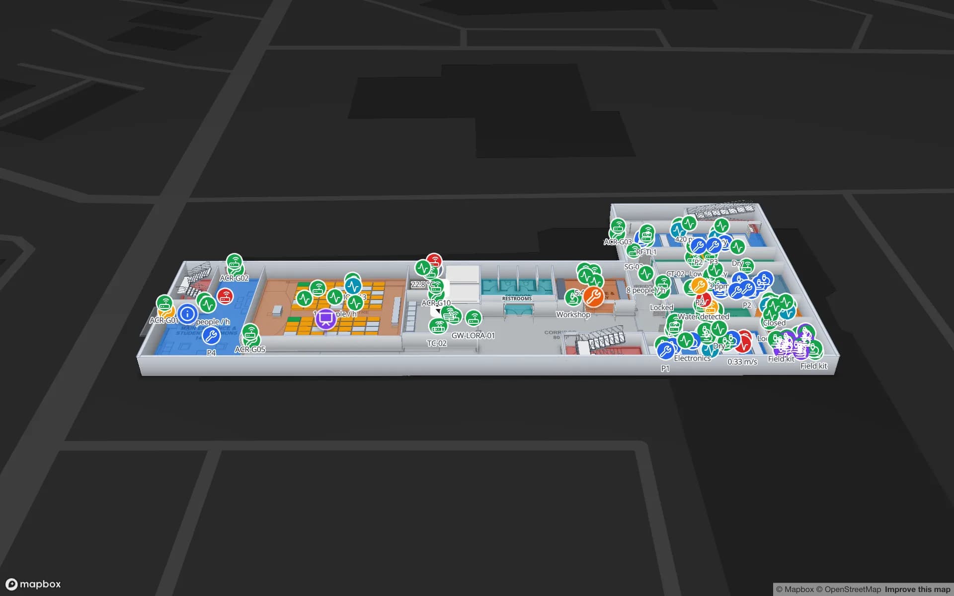
Spatial Map does not connect to the airport’s systems and has no live blue dot or mobile app. What it does is map a building you work in. For the terminal side the Silverbay demo shows check-in islands, security lanes, immigration booths, gates and baggage reclaim, with bag-tag reads from drop-off to carousel and routes across floors that avoid stairs; the airport indoor mapping page and the post on baggage RFID on an indoor map go further. A cargo shed or ground-handling building is mapped like a warehouse: build-up areas, cool rooms, docks and staging lanes, with tagged shipments and dollies as live markers.