10th of Ramadan: a city built to move industry out of Cairo
The 10th of Ramadan City was established by Presidential Decree No. 249 in 1977 as one of the first new cities meant to draw people and industry away from Cairo and the Nile valley’s farmland. It lies about 46 km from Cairo on the Cairo–Ismailia desert highway in Sharqia. Its industrial areas are divided into numbered blocks (A1 to A6, B1 to B4 and C1 to C8), and electronics, food processing, textiles, steel and pharmaceuticals are among the industries that work there. Sources differ on how many factories there are, so we do not quote a number.
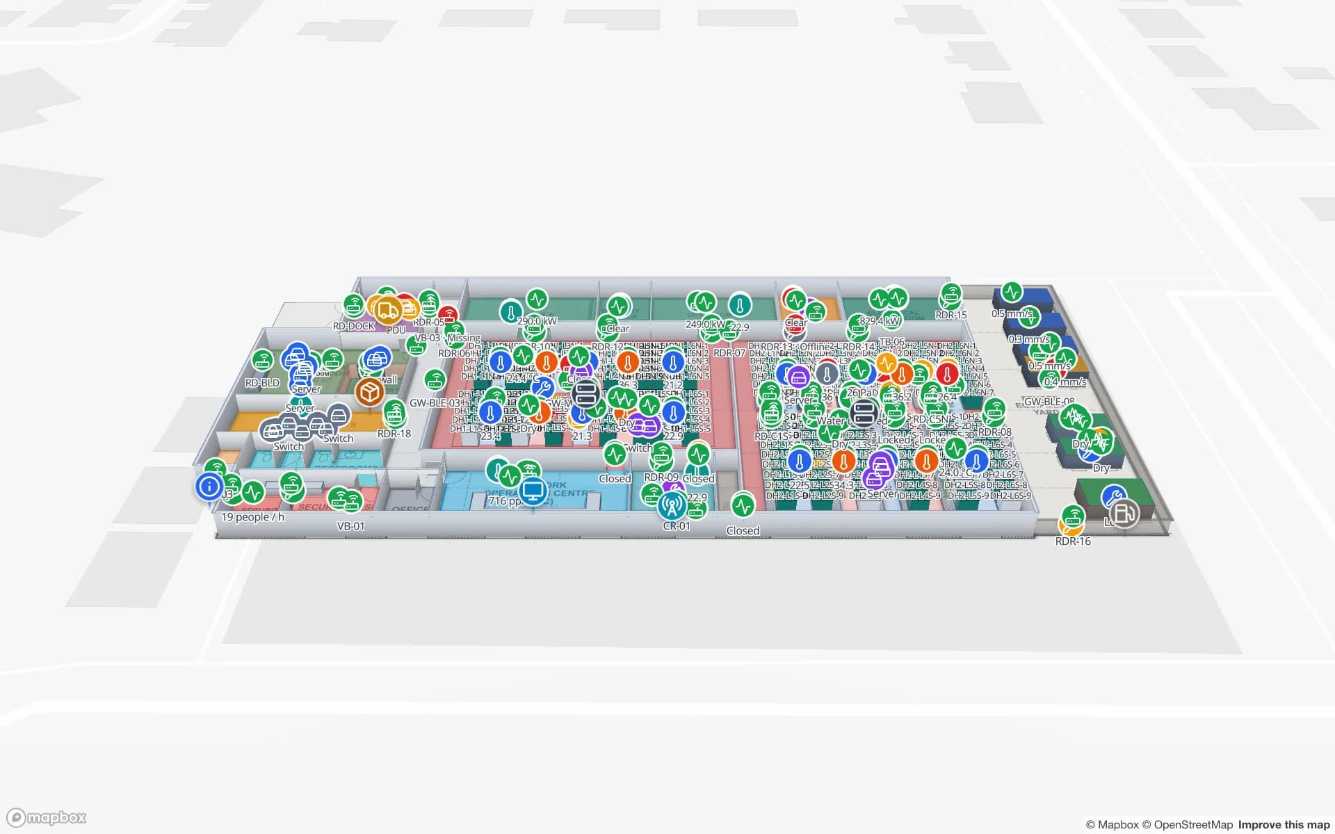
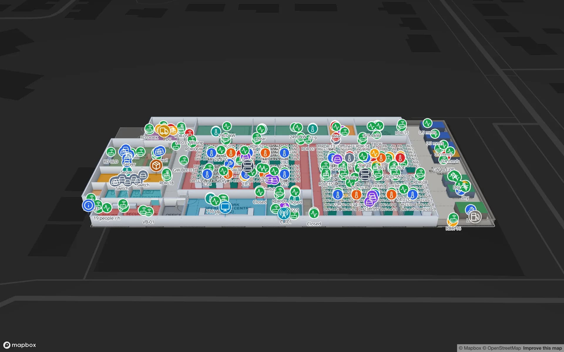
In a plant like that the assets that go missing are the shared ones: moulds, dies, test gauges, spare motors, pallet trucks and returnable crates, moving between machine, store, workshop and an outside repairer. Spatial Map keeps the asset register as a table (tag ID, owner, home store, status), draws each store and line as an area, and shows each tagged item at its last-seen area, with a style rule that colours items overdue for return and the History player to replay where one has been. RFID tool tracking covers the crib pattern and the Summit demo shows lines, workstations and 867 rack locations on a plant map.