Ho Chi Minh City · Cat Lai, Cai Mep–Thi Vai and the industrial zones

Warehouse tracking in Ho Chi Minh City, from Cat Lai to the industrial parks

Spatial Map is browser-based indoor mapping software that turns warehouses, container depots and distribution centres into live 3D maps, with stock, RFID reads and dock activity shown where they happen. Warehouse tracking in Ho Chi Minh City is a problem of two ports and a very large hinterland: a city that now includes the former Binh Duong and Ba Ria–Vung Tau sends boxes through Cat Lai in town and Cai Mep–Thi Vai down the coast, and every warehouse in between has to know what is staged for which. Your WMS and readers supply the data; Spatial Map shows it in place.

No credit card. Runs in the browser. Pro is $60/month for up to 4 facilities. Book a demo

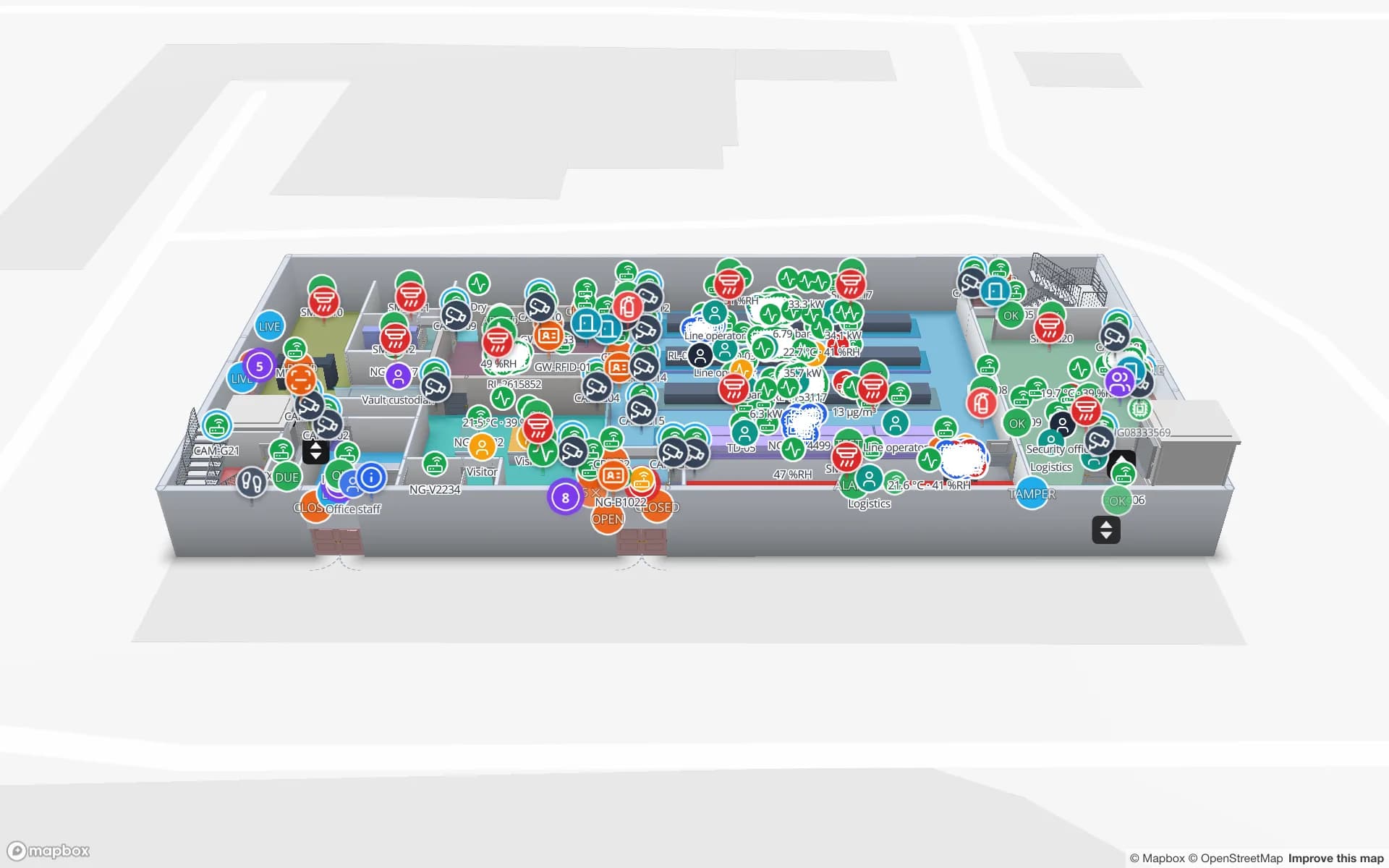
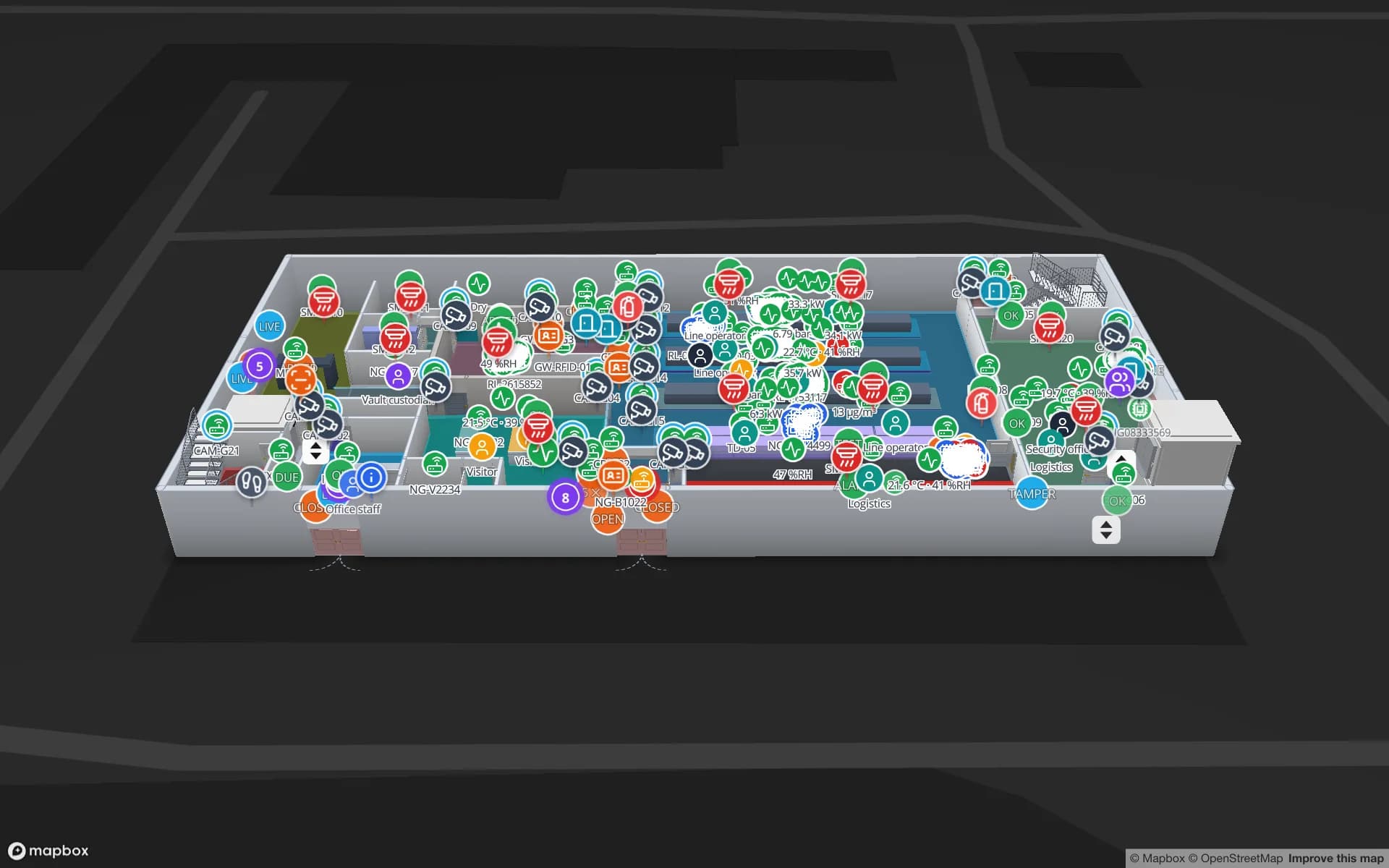
Crestline Fulfillment Center, a fulfillment center demo, in the Spatial Map 3D viewer with live device markers
Crestline Fulfillment Center
Crestline Fulfillment Center, a demo warehouse: 20 racks with 2,204 locations coloured by stock status, pick modules, staging lanes and the trailer yard.
Rack locations in the Crestline fulfilment demo
2,204
Racks coloured by stock status in Crestline
20
Dock doors in the Eastport Cross-Dock demo
50
Free trial, up to 5 facilities, no card
7 days

Cat Lai: the trucks queue outside your dock

A 2022 report on a USAID and Viet Nam Customs action plan for Cat Lai said the port handles over 92 percent of Ho Chi Minh City’s container volume and roughly half of the country’s, with more than 8,000 trucks a day moving through the area; the plan has 21 recommendations to improve capacity. Those figures are from 2022 and are quoted as the report gave them.

For a depot or warehouse near the port, the effect is a queue: a trailer arrives, waits for a door, and every minute it waits is a minute of a driver and a slot. Spatial Map draws the yard slots, gate lanes, weighbridge and dock doors, and shows each trailer and tractor at its last read; the Eastport Cross-Dock demo has 50 dock doors and 44 yard slots with live dock turns and gate transactions. The post on dock doors and trailer yards explains the data you need. Spatial Map does not connect to the port’s or customs’ systems.


Cai Mep–Thi Vai: the boxes with a vessel date

VietnamNet reports that the Cai Mep–Thi Vai cluster operates 48 international container routes a week, with direct mainline services to Europe and the east and west coasts of the US, and that depths of 14 to 15.5 metres let it receive container ships above 200,000 DWT. For a warehouse that stuffs export boxes, a direct service means a vessel cut-off, and a cut-off means a deadline for every pallet.

The practical question on the warehouse floor is which lots are staged, complete and ready for which vessel. Colour staging lanes by order or by vessel from your WMS, read tagged cartons at the despatch door, and a count rule raises an in-app alert when a lane holds fewer cartons than its plan close to cut-off. The Crestline demo shows staging lanes in front of the docks, rack locations coloured from the inventory, and a quality-hold area.

A larger city, one zones authority

In July 2025 Binh Duong and Ba Ria–Vung Tau joined Ho Chi Minh City, which is now described as having more than 14 million people. A Prime Ministerial decision dated 28 July 2025 created a single Ho Chi Minh City Export Processing and Industrial Zones Authority from the Ba Ria–Vung Tau and Binh Duong industrial zones authorities and the former city authority.

For a company with warehouses in three former localities, the administrative change is also a data one: three sets of site names, three WMS instances, perhaps three spreadsheets. Spatial Map keeps each building as its own facility in one workspace, groups them into named solutions such as “Cai Mep exports” or “Returns”, and lets a manager at head office open every site on the same live map. Owners, admins, editors and viewers have separate roles, so a site team sees its own floor and head office sees all of them.

Inside the warehouse: from a spreadsheet to a rack map

Many warehouses already have the data: bin stock in a WMS or an Excel sheet, receipts and despatches in an ERP. You do not need new hardware to start. Upload a CSV or Excel export of bin stock, draw the racks, and each location is coloured by quantity or status; our post on turning a CSV of bins into a live rack map shows the steps. When the WMS can call a REST endpoint or post rows, the map updates itself.

Add RFID where it pays back first, usually the despatch door and the returns bay. A tagged carton read at the door tells you what has actually left, which is the number the shipping team trusts. Spatial Map does not encode or print tags and does not write back to your WMS; it shows what your reads and rows say, with row history and reports for each shift.

Services for teams in Ho Chi Minh City

Where Ho Chi Minh City teams usually start depends on the building:

  • Depots and freight stations near the ports usually begin with inventory tracking at the dock doors and yard, because a missed cut-off is expensive.
  • Distribution centres in the industrial parks tend to begin with warehouse indoor maps coloured from the WMS, then add asset tracking for forklifts, pallets and returnable crates.
  • RTLS and UWB matters mainly for large, busy buildings where vehicles and people must be located continuously; most warehouses will not need it first.
  • If you have no readers or tags yet, our team can source RFID readers, antennas and tags on request, quoted per project, with warranty from the manufacturer: see hardware and demo kits on request.
  • Where your IT team has no time, we build WMS and ERP integrations, Android RFID handheld apps and an RFID inventory system as client projects. The product itself runs as cloud or on-premises.

Also served nearby

The same approach covers Thu Duc, Binh Chanh and Hoc Mon, the former Binh Duong towns of Thuan An and Di An, and Bien Hoa, Nhon Trach and Long Thanh in neighbouring Dong Nai. Nothing needs to be installed at any of them: the map opens in a browser.

How Spatial Map does it

From the WMS export to a live warehouse map

  1. 01

    Pick one warehouse

    The depot near the port, or the distribution centre where stock is hardest to find.

  2. 02

    Draw racks, lanes and docks

    Upload the plan, let AI Map draft the floor, and name locations the way your WMS does.

  3. 03

    Connect stock and reads

    A CSV or Excel upload to start, then the write API or a polled REST endpoint from your WMS and RFID middleware.

  4. 04

    Add cut-off rules

    In-app alerts for lanes short before cut-off, trailers waiting too long and readers that went quiet.

What Ho Chi Minh City teams track

Container depots and yards

Trailer slots, gate lanes, weighbridge and dock turns beside the port.

Export staging by vessel

Lanes coloured by order, cartons read at the despatch door.

Industrial-park assembly plants

Raw-material and finished-goods racks and WIP carriers between stations.

Electronics secure stores

High-value stock read zone by zone, with a shrink report.

See it on real demo facilities

Fictional names, real floor plans, live sensors, RFID, BLE tags and gateways — open any of them in the browser.

All 13 demo facilities

Warehouse tracking in Ho Chi Minh City — questions we get

No. It has no link to terminal, port community or customs systems. It shows what happens inside your own building, from your own WMS, RFID reads and sensors, so it complements the port-level systems rather than replacing them.

Yes. Upload the bin export as CSV or Excel, draw the racks and each location is coloured by quantity or status. Later your WMS can post rows through the write API, or Spatial Map can poll a REST endpoint. RFID can be added at the doors afterwards.

Yes. Each building is its own facility, and a workspace can hold many, grouped into named solutions. Roles control who sees which site: Owner, Admin, Editor and Viewer, plus custom roles.

No. Spatial Map reads rows from your systems and shows them; it does not write back to a WMS or ERP. If you need that, our team can build the integration as a client project.

Not yet. The app is available in English, Chinese, Spanish, French, German and Arabic, and each user picks their own. Your own content — rack codes, zone names, report titles — can be written in Vietnamese, diacritics included.

No. Spatial Map is sold online and our team works with customers in Vietnam remotely, by video call and through the contact form. There are no local resellers or partners.

In US dollars, the same worldwide: a 7-day free trial for up to 5 facilities with no card, then Pro at $60 a month or $600 a year for up to 4 facilities. Larger estates are quoted as custom services.

Put one Ho Chi Minh City warehouse on a live map this week.

Start the free trial and open the Crestline demo, or send us a warehouse plan and a bin-stock export through the contact form.