Two ports, one bay
The Port of Los Angeles describes itself as 7,500 acres of land and water with 43 miles of waterfront, and says it has been the number one container port in the United States every year since 2000. Next door, the Port of Long Beach is a separate department of the City of Long Beach and says it connects 175 shipping lines to 217 seaports. A Pepperdine and NAIOP study of Southern California industrial space quotes the Port of Los Angeles for the complex’s share: about 31 percent of all US containerized waterborne international trade in 2025.
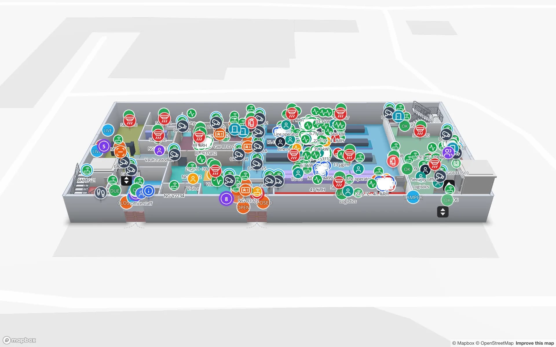
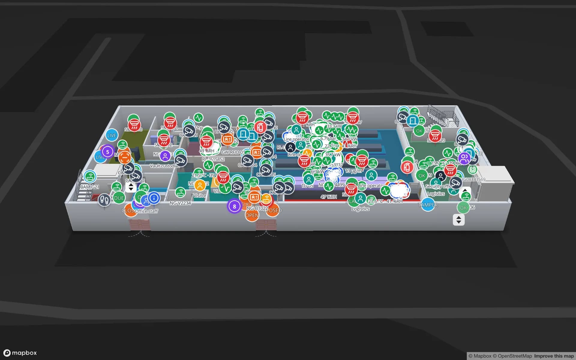
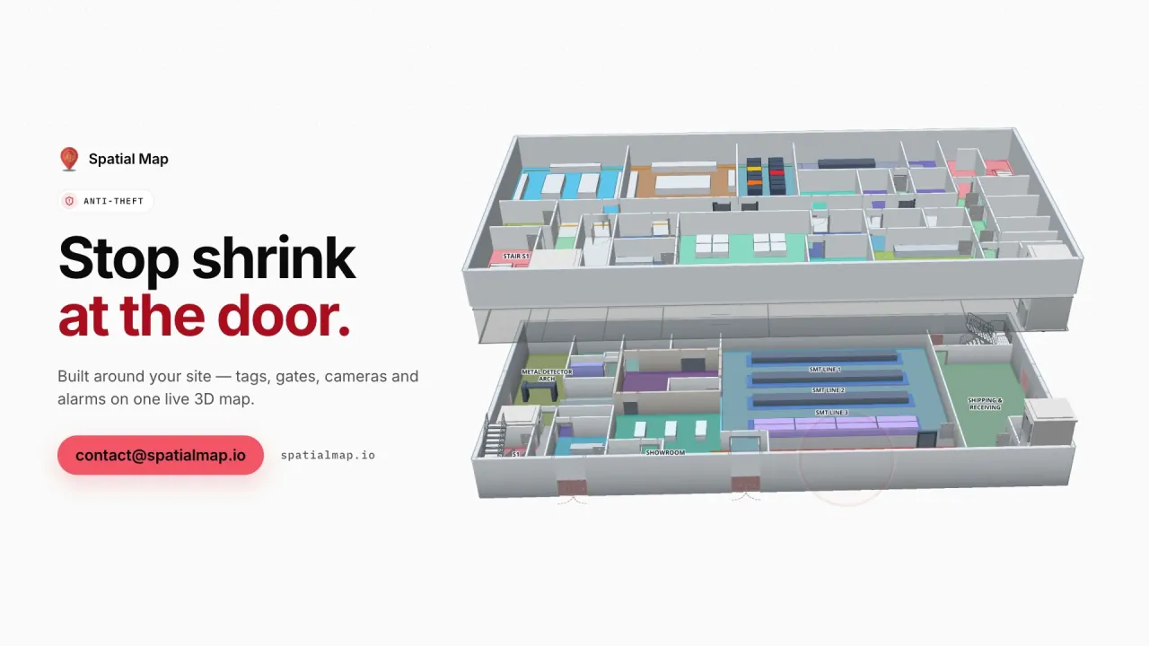
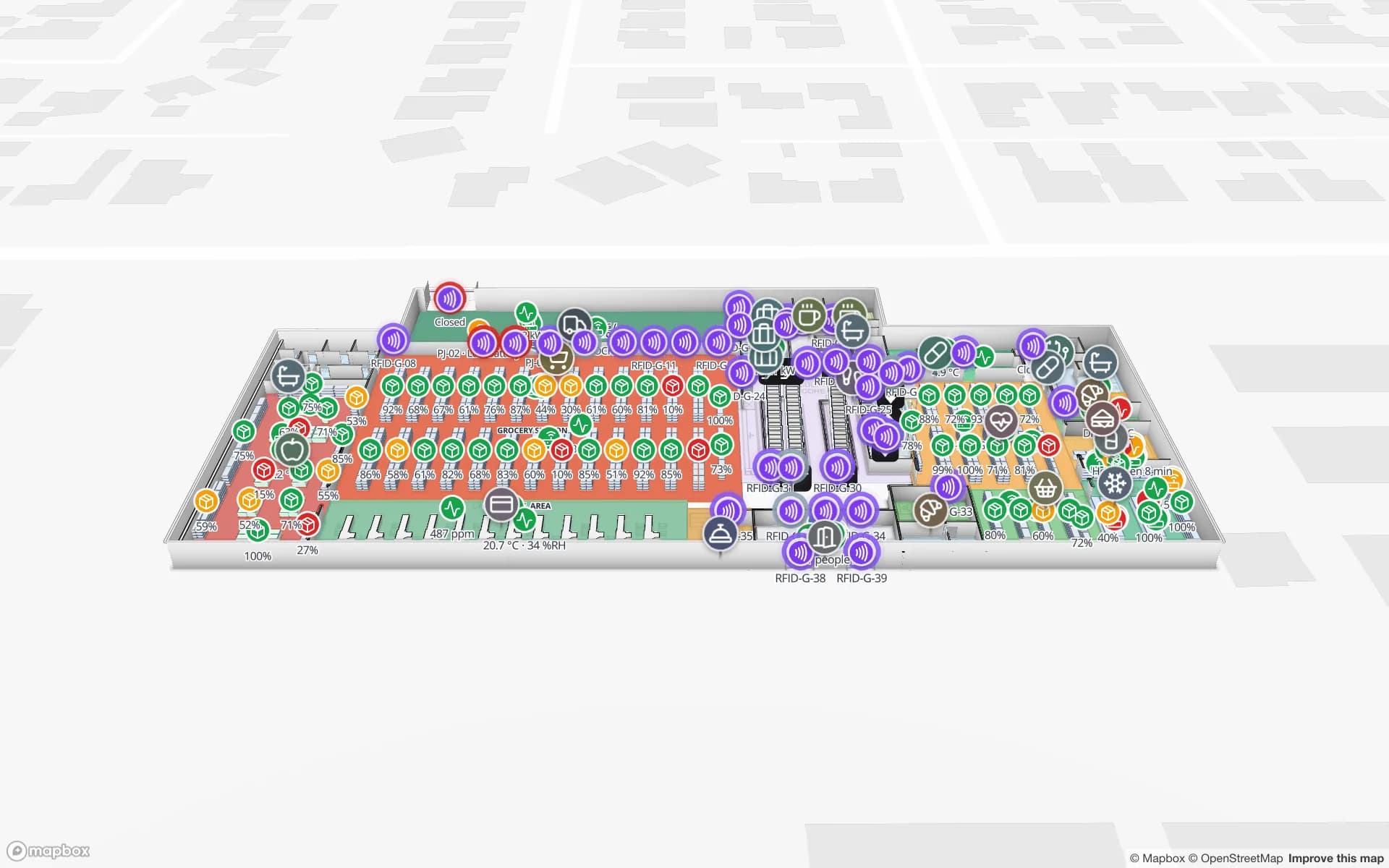
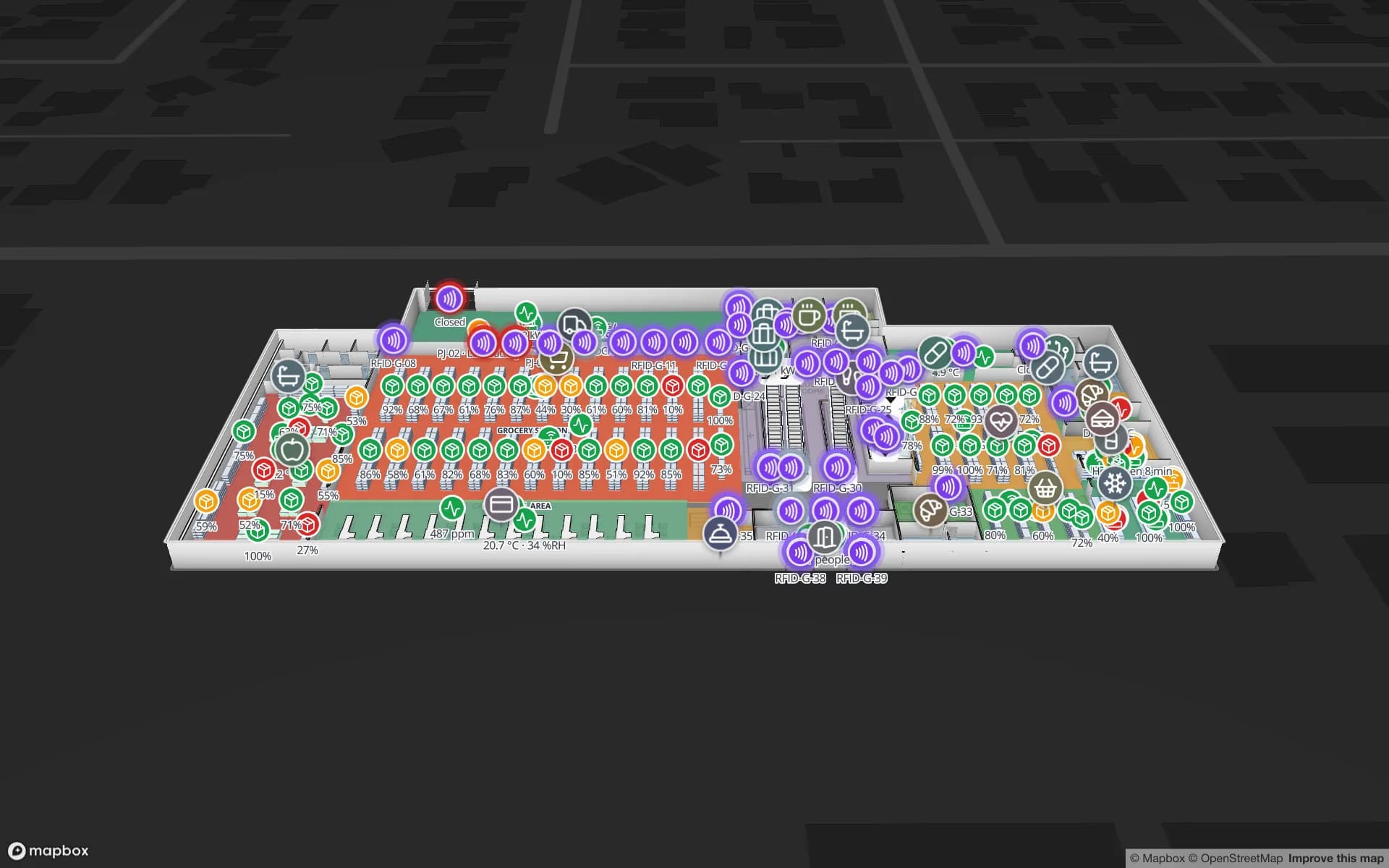
A share like that lands on buildings, not on a quay. Each box that leaves the terminals ends up in a warehouse that has to unload it, sort it and ship it again, and most of those buildings run their own WMS with, at best, RFID at the dock doors. Spatial Map does not connect to terminal or port systems. It draws your building and shows what your WMS and readers say about it, which is where a mislaid pallet is actually found.