Bangkok · Suvarnabhumi, exhibition halls and rail-linked buildings

Indoor mapping in Bangkok, from the airport free zone to the exhibition hall

Spatial Map is browser-based indoor mapping software that turns terminals, exhibition halls, warehouses and multi-level buildings into live 3D maps, with RFID reads, sensor readings and crowd counts shown where they happen. Indoor mapping in Bangkok has an unusual brief: many of the city’s largest buildings sit on a rail line, with a train from the airport, a new central rail terminal and MRT stations that open straight into the building above. A map there has to work as a route between floors and between modes, not just as a picture of one floor.

No credit card. Runs in the browser. Pro is $60/month for up to 4 facilities. Book a demo

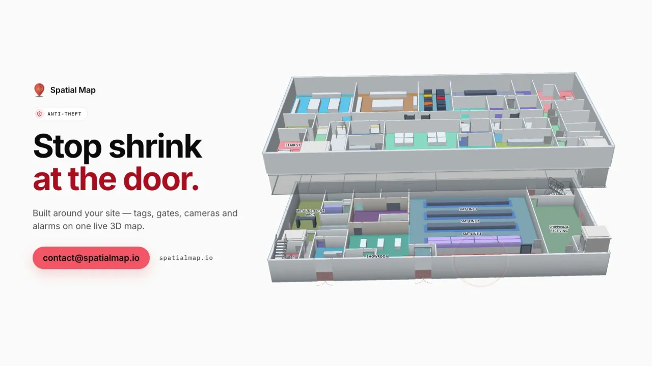
Lakeside Convention Center, a convention center demo, in the Spatial Map 3D viewer with live device markers
Lakeside Convention Center
Lakeside Convention Center, a demo venue: two floors of exhibition halls with booth blocks, session rooms, a plenary auditorium, registration and loading docks.
Floors in the Lakeside convention demo
2
Tables behind the Lakeside demo’s live layers
26
How often alert rules are checked, with alerts shown in the app
15 s
Free trial, up to 5 facilities, no card
7 days

Suvarnabhumi: the satellite terminal and the free zone

Airports of Thailand’s own strategy pages give a sense of the scale of what has to be mapped. Suvarnabhumi’s Satellite 1 has 28 contact aircraft stands and is linked to the main terminal by an automated people mover, and air cargo handling capacity at the airport is listed at 1.7 million tons a year. Cargo buildings and their neighbours sit inside a regulated Free Zone, where self-service kiosks issue temporary 24-hour entry-exit permits for people and vehicles.

Two kinds of building follow from that. A terminal is a venue: check-in islands, security lanes, immigration booths, gates and the lifts and escalators between them, and the Silverbay Airport demo shows each of these as a layer with its own throughput. A free-zone cargo building is a warehouse with a gate: dock doors, staging lanes, cages and a count of what is where. Spatial Map draws both from the plans you already have and shows your own readers and counters on them. It does not connect to airport operator or customs systems.


Exhibition halls: a different building every week

Bangkok’s exhibition venues are big and rail-connected. The Queen Sirikit National Convention Centre has eight exhibition halls and 50 further meeting rooms, with a walkway to the MRT and its own Blue Line station under Ratchadaphisek Road. A large exhibition complex at Muang Thong Thani, in Nonthaburi just north of the city, describes itself as having more than 140,000 square metres of flexible event space and a direct connection to the MRT Pink Line.

For the people who run a venue like this, the building is re-laid for each show: booths, registration, catering, freight and marshalling all move. Draw the halls once, then change booth blocks and session rooms as areas for each event; occupancy from your door counters appears as a heatmap on one floor at a time, and freight bookings and crate reads at the docks sit on the same plan. The Lakeside Convention Center demo has halls with booth blocks, session rooms, a plenary auditorium, registration and loading docks. A read-only share link with an expiry date gives a contractor or an exhibitor one floor without an account.

Buildings that start at the station

The Airport Rail Link, which opened on 23 August 2010, runs between Suvarnabhumi and Phaya Thai, where it meets the BTS Sukhumvit Line. Krung Thep Aphiwat Central Terminal, formerly Bang Sue Grand Station, has 26 platforms and was opened for the SRT Red Lines on 2 August 2021, with intercity services from 19 January 2023; an underground walkway links it to Bang Sue MRT station. A station, a walkway, a concourse and the floors above it are one journey for a passenger and four different drawings for an operator.

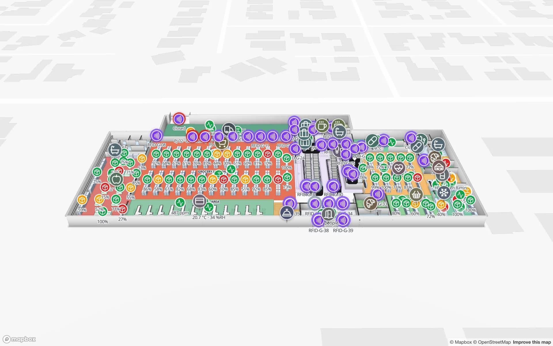
Spatial Map joins them as floors of one facility, with stairs, lifts and escalators placed where they are. Wayfinding then builds routes across floors with Fastest, Step-free and Other route options, turn-by-turn steps and walking minutes. It routes inside the buildings you map; it does not plan train trips and there is no live blue dot for the visitor. The Retail Mart demo shows three floors joined by an escalator core and lifts.

Getting a big building onto the map

Large Bangkok buildings often have plans in several formats: a PDF from the architect, a DWG from the facilities team, a scan of an older floor. Upload them as they are, align each at real scale, and let AI Map draft walls, doors, racks, labels, areas, stairs, lifts and escalators for a person to review; you can add every draft or keep and discard them by kind. AI Map is available on paid plans and the trial, with a monthly limit.

The app is not available in Thai; it ships in English, Chinese, Spanish, French, German and Arabic and each user picks their own. Hall names, shop names and report titles can be written in Thai and appear exactly as typed, so a mixed Thai and international team can share one map.

Services for teams in Bangkok

Where Bangkok teams usually start depends on the building:

  • Venue and building operators usually begin with indoor maps and wayfinding: the floors, the routes and the occupancy heatmaps, before any hardware.
  • Cargo and logistics buildings near the airport tend to begin with inventory tracking at the dock doors, then add asset tracking for ULDs, trolleys and handling equipment.
  • RTLS and UWB is for places where people and vehicles must be located continuously; most venues will not need it first.
  • If you have no readers, beacons or tags yet, our team can source devices on request, quoted per project, with manufacturer warranty: see hardware and demo kits on request.
  • Where your IT team is stretched, we build custom software such as ticketing, booking or POS systems and integrations as client projects. The product runs as cloud or on-premises.

Also served nearby

The same approach covers Nonthaburi, Pathum Thani, Samut Prakan and Samut Sakhon, which ring the capital and hold many of its warehouses and exhibition buildings. Nothing needs to be installed at any of them: the map opens in a browser.

How Spatial Map does it

From a station concourse to a live map

  1. 01

    Pick one building

    A terminal, an exhibition hall or a cargo shed — wherever a wrong turn or a lost crate costs most.

  2. 02

    Upload and join the floors

    PDF, DWG (AutoCAD R2004–R2018, placed as a picture) or image per floor, with stairs, lifts, escalators and the walkway to the station.

  3. 03

    Connect what you already count

    Door counters, RFID readers and booking data post rows through the write API, or Spatial Map polls a REST endpoint.

  4. 04

    Share and watch

    Heatmaps by floor, in-app alerts and read-only share links for contractors and exhibitors.

What Bangkok teams map

Exhibition and convention halls

Booth blocks, session rooms, occupancy and freight docks, re-laid for each show.

Terminal and gate operations

Check-in, security, immigration and gates as live layers, with step-free routes.

Rail-linked retail floors

Multi-level floors with escalator cores, entrance readers and footfall by floor.

Free-zone cargo sheds

Dock doors, staging lanes and tagged pallets from gate to cage.

See it on real demo facilities

Fictional names, real floor plans, live sensors, RFID, BLE tags and gateways — open any of them in the browser.

All 13 demo facilities

Indoor mapping in Bangkok — questions we get

Inside the maps you draw, yes. Draw the concourse, the walkway and each floor as one facility, with the stairs, lifts and escalators between them, and wayfinding builds Fastest, Step-free and Other route options with turn-by-turn steps and walking minutes. It does not plan train journeys and does not show the visitor’s live position.

No. It has no link to airport, terminal or customs systems. It shows what happens inside the building you map, from your own readers, counters and booking or WMS data.

No. Draw the hall once, then move and re-label booth blocks and session rooms as areas for each event. If a new plan arrives, upload it and run AI Map on just that part; the drafts appear for review before you add them.

Yes, through a read-only share link with an expiry date, a view cap, a floor lock and a choice of layers. You decide what is on it, and you can revoke it.

Not yet. The app is available in English, Chinese, Spanish, French, German and Arabic, and each user picks their own. Your own content — hall names, zone names, report titles — can be written in Thai.

No. Spatial Map is sold online and our team works with customers in Thailand remotely, by video call and through the contact form. There are no local resellers or partners.

In US dollars, the same worldwide: a 7-day free trial for up to 5 facilities with no card, then Pro at $60 a month or $600 a year for up to 4 facilities. Larger estates are quoted as custom services.

Map one Bangkok building before the next event.

Start the free trial and open the Lakeside demo, or send us a floor plan and a sample of your counter or RFID data through the contact form.