Kuala Lumpur · KLIA, the convention centre and the Klang Valley

Indoor mapping in Kuala Lumpur, from the airport terminals to the halls and malls

Spatial Map is browser-based indoor mapping software: it turns a floor plan into a 3D map of every floor, with rooms, doors, lifts, stairs and escalators, and puts live data on top. Indoor mapping in Kuala Lumpur is mostly about big buildings that many people pass through, such as an international airport 45 km south of the city, a convention centre with a row of exhibition halls, multi-level malls and the campuses of the Klang Valley. Each is its own facility, and all of them can sit in one workspace.

No credit card. Runs in the browser. Pro is $60/month for up to 4 facilities. Book a demo

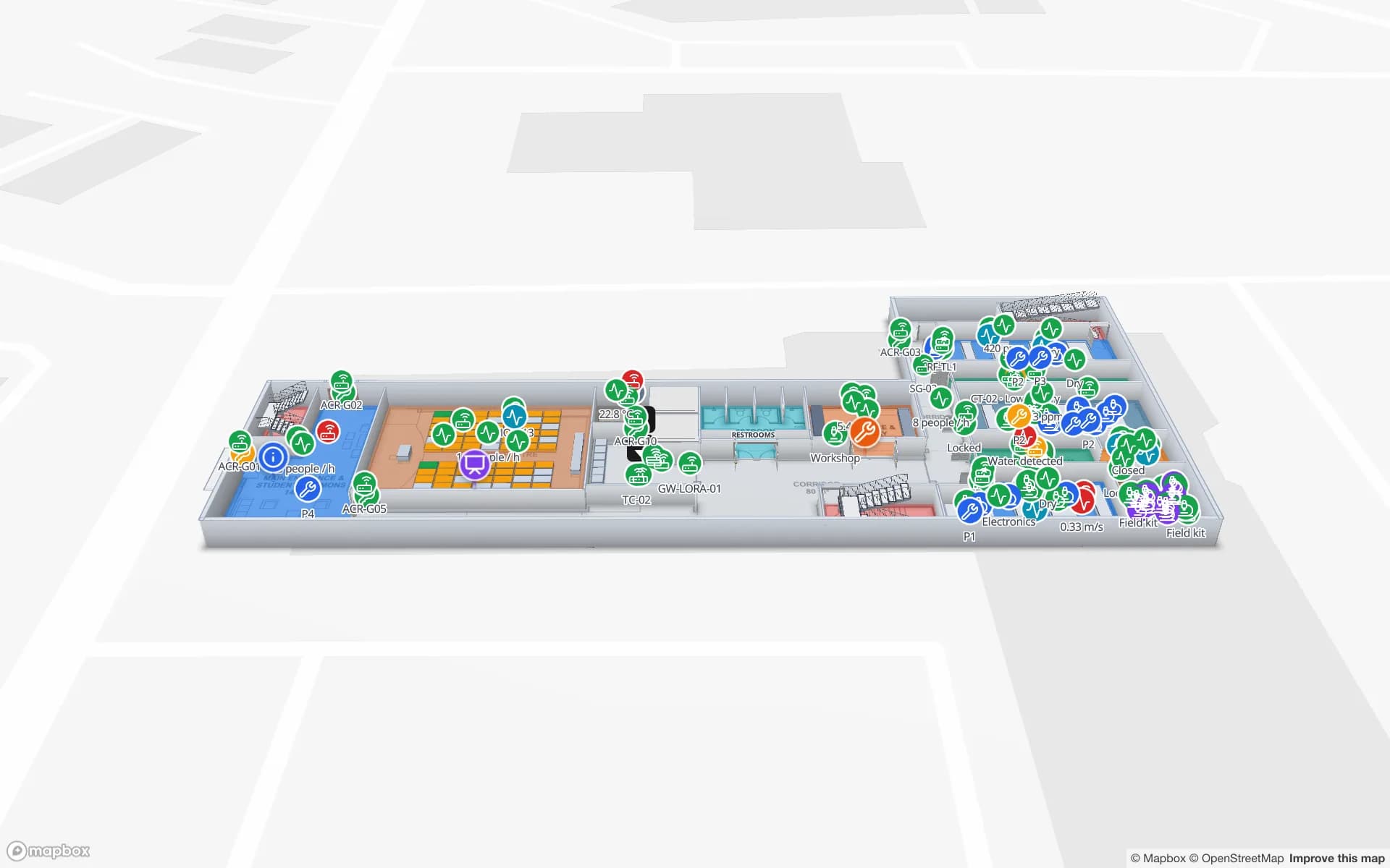
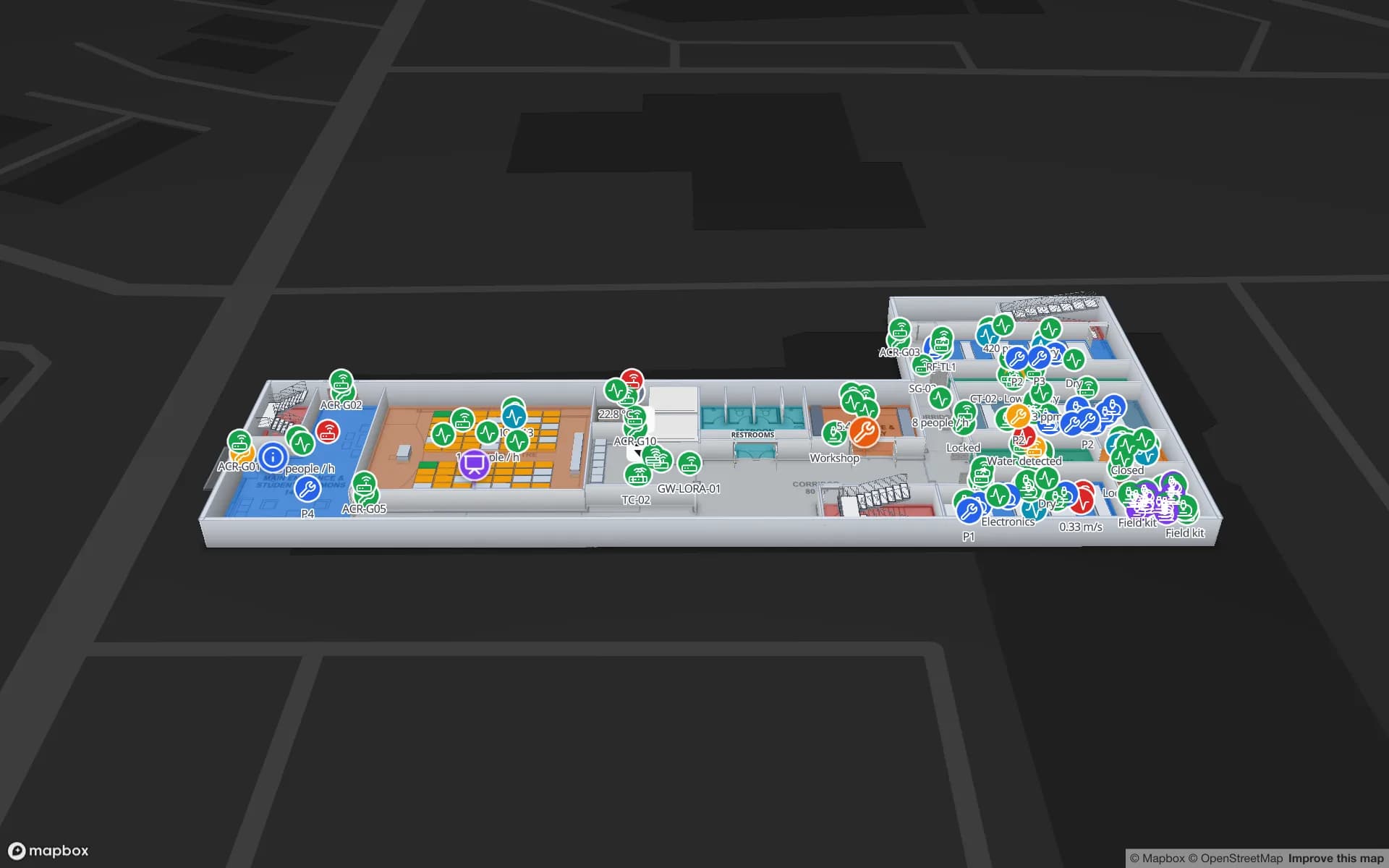
Lakeside Convention Center, a convention center demo, in the Spatial Map 3D viewer with live device markers
Lakeside Convention Center
Lakeside Convention Center, a demo venue: exhibition halls with booth blocks, session rooms, a plenary auditorium, registration and loading docks on two floors.
Floors in the Lakeside convention-centre demo
2
Floors in the Silverbay airport-terminal demo
2
How often alert rules are checked, with alerts shown in the app
15 s
Free trial, up to 5 facilities, no card
7 days

KLIA: two terminals, three runways and a cargo centre

Kuala Lumpur International Airport was officially inaugurated on 27 June 1998. It lies in Sepang District in Selangor, about 45 km south of the city, and has three parallel runways. Terminal 2, built for low-cost carriers and known as KLIA2 until the rename announced on 9 February 2023, opened in 2014, so the airport is really two terminal buildings with their own check-in halls, security lanes and gates. Beside them the Advanced Cargo Centre covers 44 hectares and is designed as a transshipment hub inside a Free Commercial Zone.

Inside a terminal the daily questions are about space: which lift is out, which security lane has been over its queue limit for twenty minutes, which gate is changing. The Silverbay demo shows that pattern on two floors, with check-in islands, security lanes, immigration booths and gates coloured by live crowding and routes that cross floors by lift, escalator or stairs. It is a tool for the operations team, not a passenger app: there is no live blue dot, and Spatial Map does not connect to any airport or airline system, only to the data your own team sends. Airport indoor mapping covers the general case; the cargo side is a warehouse like any other and is mapped with dock doors and lanes, as in the Eastport demo.


The convention centre: eight halls and a new floor plan every show

The Kuala Lumpur Convention Centre’s own technical page lists exhibition halls 1 to 8. Hall 1 is 29.0 m by 86.61 m with a 9.36 m ceiling, and halls 6, 7 and 8 are each built from three sub-halls, A to C. A building that can be cut up like that never looks the same twice: the booth plan, the freight route to the stands and the marshalling area change with every exhibition.

Draw the halls once as areas, then colour booth blocks from a table of bookings, session rooms from the programme and halls from a live occupancy count. The Lakeside demo shows halls with booth blocks, session rooms, a plenary auditorium, registration and the loading docks on two floors, with a freight-dock view for the build-up days. Visitors can open the same map on a read-only share link with the floors and layers you choose, and the wayfinding tool gives step-free or fastest routes between hall and session room with walking minutes. For the general case see stadium and venue maps.

Malls, towers and the shape of the Klang Valley

The Klang Valley is centred on Kuala Lumpur and Putrajaya together with the surrounding cities and towns of Selangor, and it has no official boundary. The Klang River reaches the Straits of Malacca at Port Klang in its south-west, and Cyberjaya is the headquarters of MSC Malaysia. That looseness suits a map tool: you decide what belongs to a site. Group the towers, malls, parks and campuses of one owner into a solution, and share a single link per building with each tenant or contractor.

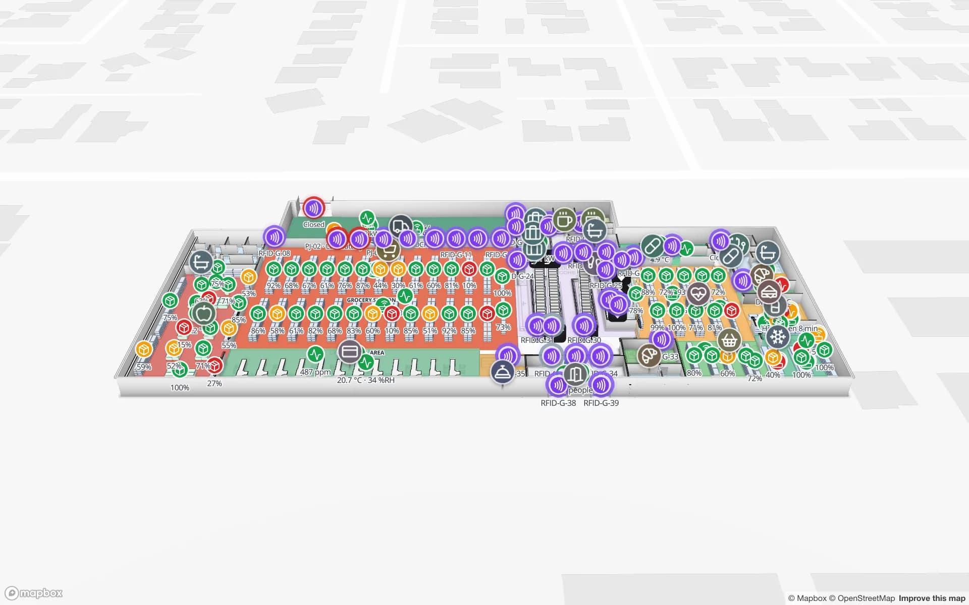
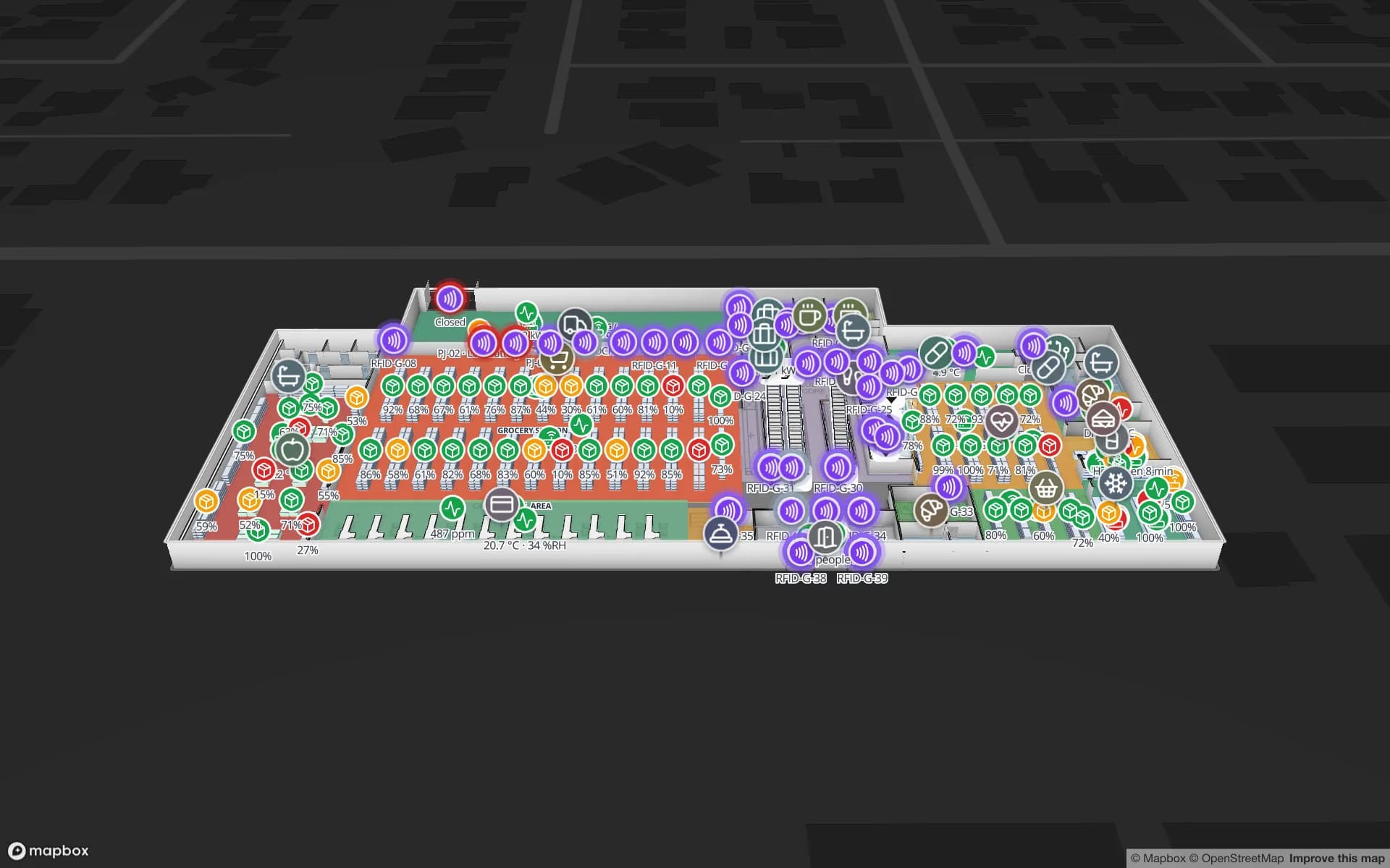
Multi-level malls are the most typical Kuala Lumpur building: several floors joined by escalator cores and lifts, with shop units that change tenant and food courts that change layout. Draw each floor from the plan, colour units by lease or fit-out status, and put footfall counters or door counters on a heatmap that stops at walls and closed doors. The Retail Mart demo shows a three-floor building with an escalator core and lifts, and the post on shopping mall operations on a live map walks through the idea. Retailers inside such buildings are covered under RFID for retail.

Campuses and office towers: drawings are the bottleneck

Universities, science parks and corporate campuses in the valley are made of several buildings that were drawn at different times by different consultants. Upload each as it exists, a PDF, a DWG (AutoCAD R2004–R2018, placed as a picture) or an image, align it at real scale and let AI Map draft the walls, doors, rooms, stairs and lifts for a person to review. AI Map is available on paid plans and the trial, with a monthly limit.

Then the map becomes the base for whatever the building needs next: a room finder for visitors, a booking status per lab or meeting room, an equipment register by room. The Westbrook demo shows lab equipment bookings and lab environment readings on two floors of a campus building.

Services for teams in Kuala Lumpur

Teams in the capital tend to start from the building type:

  • Airport, venue and mall operators start with indoor maps and live counts per zone, then add routes for staff and visitors through wayfinding.
  • Tenants and retailers with stock in those buildings start with inventory tracking, often RFID at the stockroom door and the shop exit.
  • Facilities teams that need to find equipment across towers start with asset tracking; RTLS and UWB is for the few areas where continuous positions matter.
  • If you have no readers or tags yet, our team can source devices on request, quoted per project, with manufacturer warranty: see hardware and demo kits on request.
  • Booking, POS and store systems for tenants are built as client projects, see custom software development. The product runs as cloud or on-premises.

Also served nearby

The same page covers Petaling Jaya, Shah Alam, Subang Jaya, Cyberjaya and Putrajaya, Sepang and Klang. Nothing has to be installed at any of them: the map opens in a browser. For plants and warehouses along the valley see Malaysia.

How Spatial Map does it

From plan to a map your operations team opens

  1. 01

    Pick one building

    A terminal, a hall block, a mall or a campus building: wherever people ask “where is it?” most often.

  2. 02

    Import and align the plan

    Upload the PDF, DWG or image, place it at real scale, and let AI Map draft the floor for a person to review.

  3. 03

    Add rooms, routes and data

    Name areas as your teams do, mark lifts, stairs and escalators, and link a table of bookings, counts or readings.

  4. 04

    Share it

    Send a read-only link with chosen floors and layers to a tenant, an organiser or a contractor, with an expiry date.

What Kuala Lumpur teams map

Airport terminals

Check-in, security, gates and baggage reclaim coloured by live crowding, with routes across floors.

Exhibition and conference halls

Booth blocks, session rooms and loading docks changed for each event.

Multi-level malls and stores

Floors, escalators and lifts with stock and door counts in place.

Campus buildings

Labs, rooms and equipment bookings on a floor-by-floor map.

See it on real demo facilities

Fictional names, real floor plans, live sensors, RFID, BLE tags and gateways — open any of them in the browser.

All 13 demo facilities

Indoor mapping in Kuala Lumpur — questions we get

No. Spatial Map has no live blue dot and no mobile app. It plans a route from one point to another across floors, with Fastest and Step-free options, and shows it on a share link or in the viewer. What it adds for operations is the live layer: crowding, queues, lifts and counters.

No. It is independent of the airport authority, venue operators and building systems. It shows the data your own team sends: counters, bookings, sensor readings or a CSV, through the table write API, a polled REST endpoint or file uploads.

Yes, each building is a facility, and a workspace can hold as many as your plan allows. The trial and Pro cover up to 5 and 4 facilities, and larger estates are quoted as custom services. Facilities can be grouped into a solution, so a whole portfolio opens from one place.

Yes. Halls are drawn once as areas and the booth blocks, bookings and marshalling lanes are redrawn or recoloured from a table for each event. A person can also upload the organiser’s new plan and align it.

Not yet. The app is available in English, Chinese, Spanish, French, German and Arabic, and each user picks their own. Your own content (hall names, room codes, report titles) can be in Malay.

No. Spatial Map is sold online and our team works with customers in Malaysia remotely, by video call and through the contact form. There are no local resellers or partners.

In US dollars, the same worldwide: a 7-day free trial for up to 5 facilities with no card, then Pro at $60 a month or $600 a year for up to 4 facilities. Larger estates are quoted as custom services.

Map one Kuala Lumpur building this week.

Start the free trial and open the Lakeside and Silverbay demos, or send us a terminal, hall or mall plan through the contact form and we will show you your own building.