The Western Trade Coast: heavy industry on the doorstep
The Western Trade Coast covers 3,900 hectares between Munster and Rockingham. The Western Australian Government lists four areas within it, the Kwinana Industrial Area, the Rockingham Industry Zone, the Australian Marine Complex and Latitude 32, and says it holds the state’s only metropolitan heavy industrial land. The Kwinana Industrial Area was established in the 1950s following a special Act of Parliament, so many of its plants are decades old, with drawings to match.
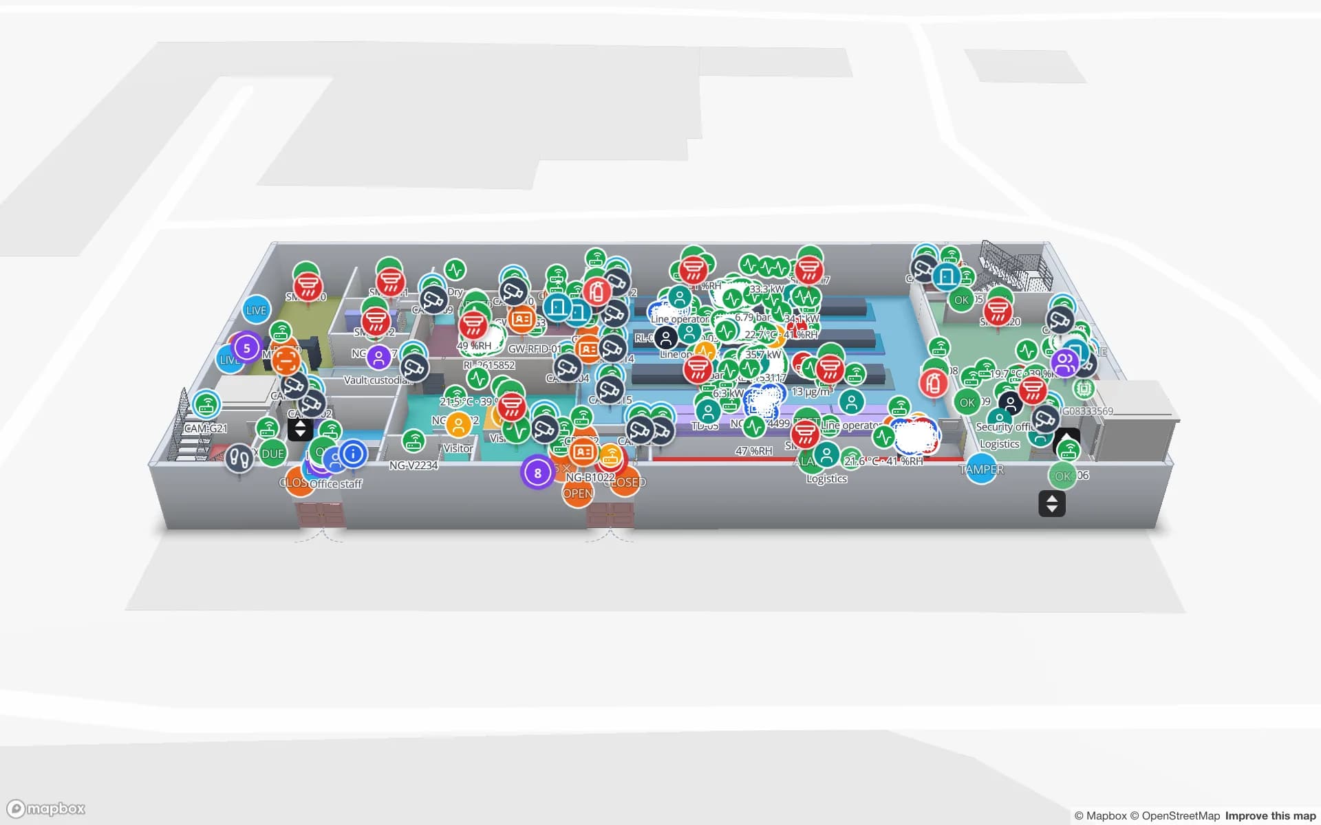
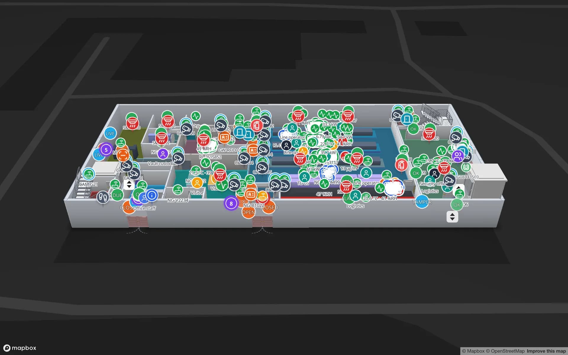
RTLS earns its keep in buildings like that for three reasons. Plants are big, with several zones the same crew passes through in a day. Contractors come and go, especially during maintenance shutdowns, and the question “who is in which area” is a real operating question. And tools and mobile equipment have to be found. A tag on a person or a tool, located by your RTLS engine and shown by room or area on the plan, answers all three. The Summit demo shows tools and crews located on a shop floor.
Spatial Map is not a safety system. It is not rated for emergency mustering or evacuation, makes no claim about site-safety compliance, and does not replace your site’s muster process; if a tag shows a person in an area, that is a fact about the tag.