
Does GPS work indoors? Why it fails and what works instead
Does GPS work indoors? Why satellite signals fail inside buildings, how BLE, Wi-Fi, UWB, magnetic and visual positioning compare, and why you need a map.
Does GPS work indoors? The short answer
Does GPS work indoors? Mostly, no. A phone next to a window or under a light roof may get a rough fix, but inside a concrete, steel or multi-storey building the satellite signals are too weak and too scrambled to give a usable position, and GPS has no idea which floor you are on. Indoor positioning therefore uses other signals — Bluetooth, Wi-Fi, ultra-wideband, the Earth’s magnetic field or the camera — and every one of them needs an indoor map to make its coordinates mean something.
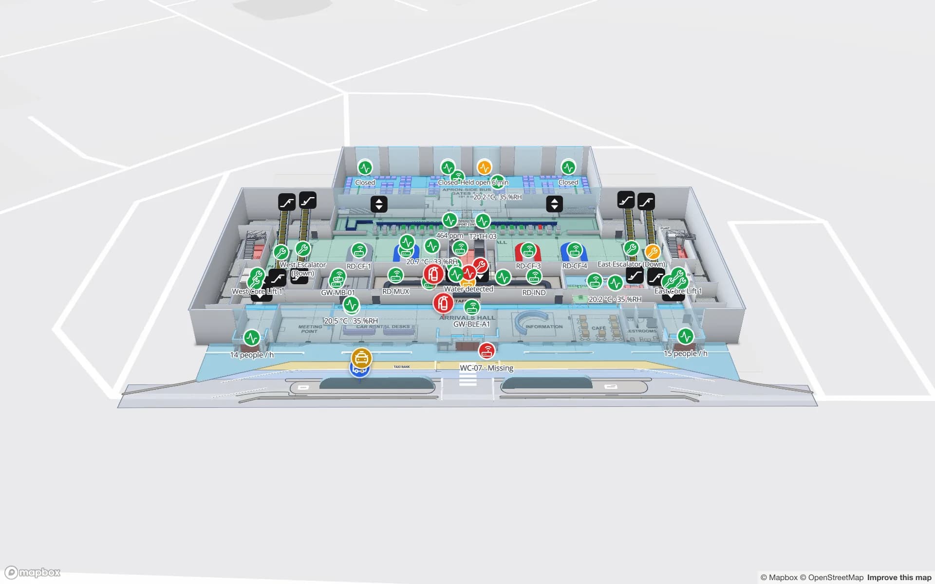
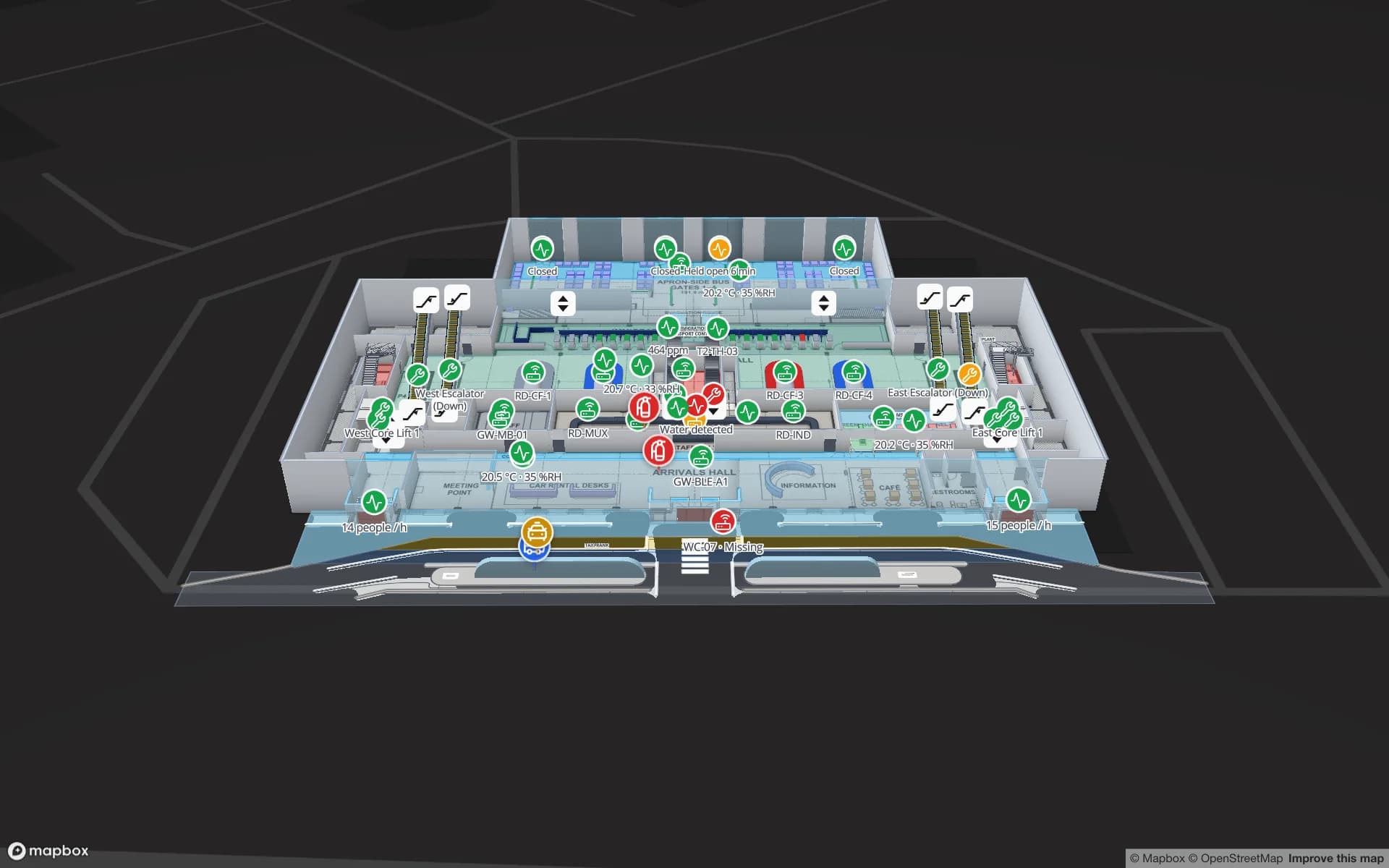
Spatial Map is a browser-based indoor mapping platform: it turns floor plans into multi-floor 3D maps and shows the positions your positioning system reports on them. It does not compute positions itself, which is why this guide treats positioning and mapping as two separate jobs.
Why GPS fails inside buildings
GPS satellites orbit at roughly 20,200 km. By the time their signal reaches the ground it is far weaker than the background radio noise; receivers only recover it because they know the code pattern to look for. Outdoors with open sky, the US government’s GPS.gov site puts typical smartphone accuracy at about 5 metres. Indoors, four things go wrong at once:
- Attenuation. Concrete slabs, metal roofs, foil-backed insulation and coated glass absorb most of what is left of the signal. A metal-clad warehouse can behave almost like a closed box.
- Multipath. The signal that does get in bounces off walls, racks and floors. The receiver measures a longer path than the true one, so the position drifts or jumps.
- Too few satellites. A fix needs at least four. Next to a window you may see two or three, all from the same side of the sky, which makes the geometry poor even when a fix appears.
- No floor. GPS height is the least accurate part of a fix even outdoors. Indoors it cannot tell the ground floor from the second, which is the question people actually ask.
| Building | What a phone typically gets from satellites |
|---|---|
| Single-storey timber or light-roofed building | Sometimes a fix near windows, often off by tens of metres |
| Glass atrium or terminal concourse | Intermittent fixes with strong multipath, worse near steel structure |
| Concrete office or hospital, inner rooms | Usually no satellite fix at all |
| Metal-clad warehouse or cold store | Usually none; the cladding blocks almost everything |
| Basement, car park, underground station | None |
Indoor positioning options compared
Indoor positioning systems replace the satellites with something closer. They split into two families: infrastructure-based systems, where you install beacons, anchors or readers, and device-based systems, where a phone works out its position from signals or sensors it already has. The precision figures below are rough orders of magnitude from published vendor and research material; the building, the installation density and the calibration decide what you actually get.
| Technology | How it works | Rough precision | What you install | Good for |
|---|---|---|---|---|
| BLE beacons (signal strength) | Tags or phones hear battery beacons; signal strength is turned into distance or presence | Room or zone, a few metres at best | Beacons, and gateways if tags are tracked | Room-level asset tracking, visitor apps |
| BLE angle of arrival | Antenna arrays measure the angle a tag’s signal arrives from | Around a metre in good installations | Locator arrays on the ceiling | Assets in open areas |
| Wi-Fi fingerprinting | Compares the networks a device hears with a surveyed map of signal patterns | Several metres | A site survey; uses existing access points | Phones in offices, malls, campuses |
| Wi-Fi round-trip time | Measures signal travel time to access points that support it | A metre or two where supported | Compatible access points | Phones, where the network and device support it |
| Ultra-wideband (UWB) | Measures time of flight between tags and fixed anchors | Tens of centimetres | Anchors at regular spacing, plus UWB tags | Forklifts, tools, people in industrial sites |
| Magnetic fingerprinting | Matches the distortions steel structure makes in the Earth’s field against a surveyed map | A few metres once the user has walked a little | Nothing; a survey per floor | Phone apps in large venues |
| Visual positioning | The camera matches what it sees against a pre-captured model of the space | Can be precise where the space is distinctive | A capture of the space | AR guidance, short sessions |
| RFID | Readers or gates record which tag passed which antenna | Zone or checkpoint, not continuous | Readers, antennas, gates | Stock, doors, choke points |
| Inertial (step counting) | Accelerometer and gyroscope estimate steps and turns | Drifts over time | Nothing | Bridging gaps between other fixes |
Most real systems combine two or more: BLE or Wi-Fi for a rough position, inertial sensors to smooth it, and a barometer or a map rule to settle the floor. For tagged assets rather than people, infrastructure-based options win, because the tag does not need a screen, an app or a user who remembers to open it. The BLE asset tracking page explains gateways and tags in more depth.
How to choose: start with the question
The cheapest system is the one that answers your question and no more. Four questions narrow it down quickly:
- 1What are you locating — people with phones, or things with tags?
Visitors navigating a venue need device-based positioning in an app. Pallets, trolleys, tools and equipment need tags and infrastructure.
- 2Which answer do you need — building, room, aisle or shelf?
“Which room is the infusion pump in?” is a BLE question. “Which bay is the forklift in?” may need UWB. “Did this carton leave through dock 4?” is an RFID question.
- 3How often must it update?
Continuous tracking costs batteries and infrastructure. Many operations only need to know where something was last seen, or when it crossed a door.
- 4Who maintains it?
Fingerprint surveys go stale when a building changes; anchors and gateways need power and mounting. Budget for the upkeep, not just the install.
If the job is showing many kinds of positions together — BLE tags, UWB vehicles and RFID reads on one floor plan — you need an RTLS software layer that takes positions from each system and plots them in one place, rather than a separate screen per vendor.
You need an indoor map either way
A position is a pair of numbers, a zone ID or a reader name. On its own it says nothing a person can act on. It becomes useful when it lands on a map that knows the rooms, doors, racks and floors around it — “Bay 12, mezzanine, next to the fire door” rather than “x 34.2, y 18.9”. That map has to be built from the building’s own floor plans, because no satellite or street-view car has ever been inside.
- Floors and names. Positioning systems report a floor number or level ID; the map turns it into “Level 2, Pharmacy store” and keeps the levels stacked in the right order.
- Real-world coordinates. When the indoor map is placed at true latitude and longitude, outdoor GPS can hand over at the entrance without the dot jumping across the car park.
- Walls and doors. Routes and position smoothing both need to know what is walkable. A dot that crosses a solid wall is a mapping problem as much as a positioning one.
- Context. Live sensors, stock and alerts on the same map are what turn “where is it?” into “what should I do about it?”.
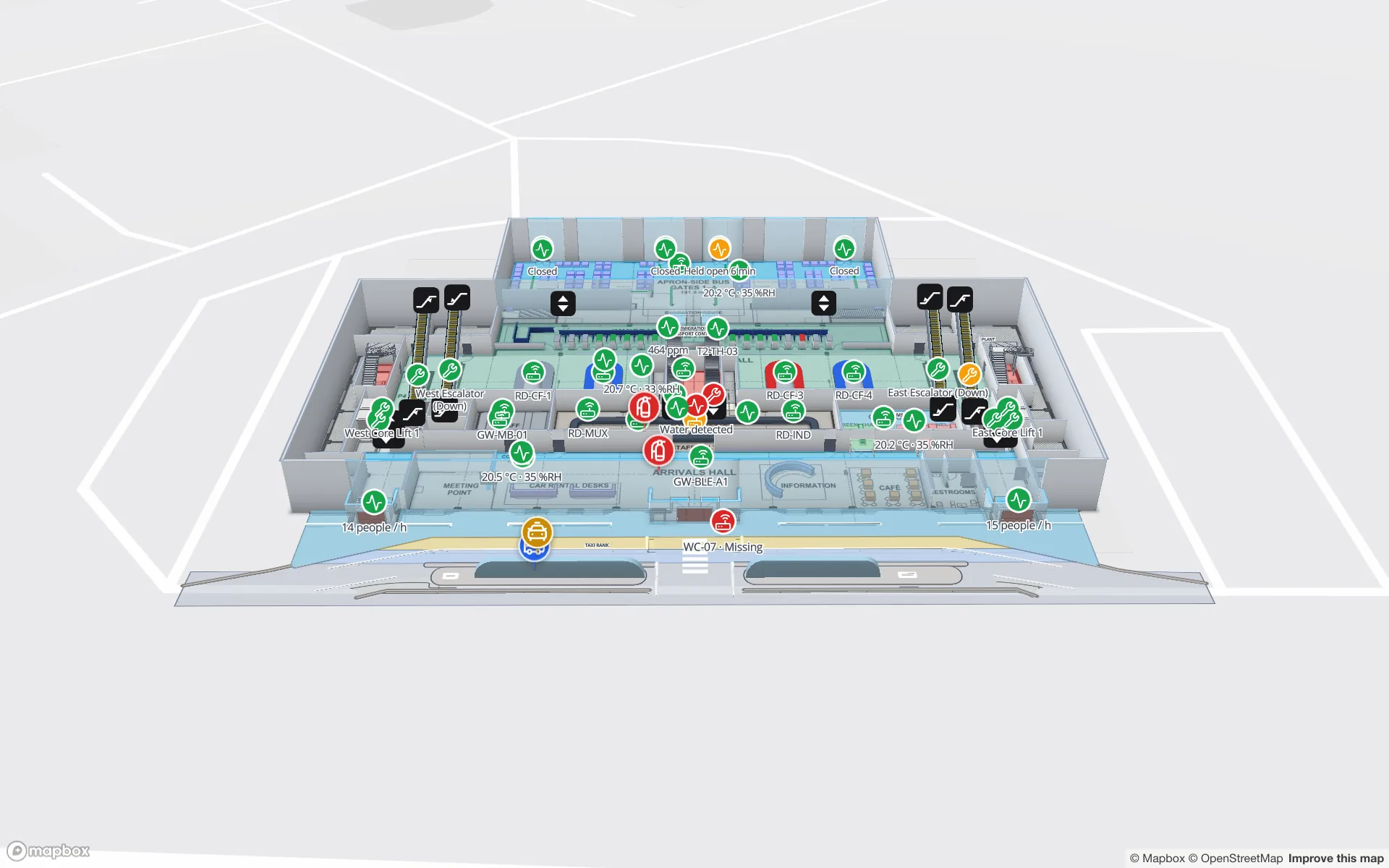
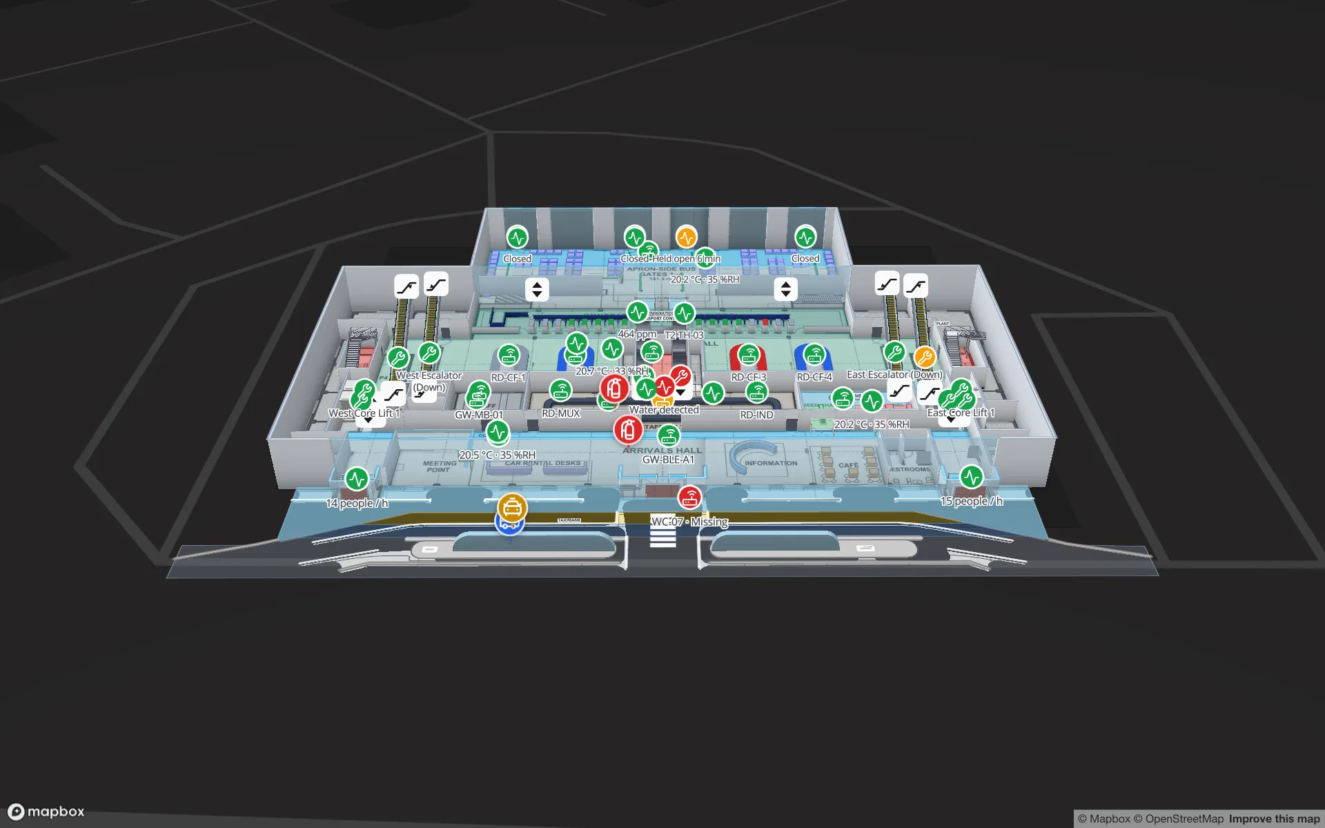
In Spatial Map, positions arrive from your RTLS, gateway or middleware through a REST source or a table with a write API, and appear as live markers or heatmaps on the right floor. Directions work without any positioning at all: indoor wayfinding routes between two points you pick, across floors through stairs, lifts and escalators, with Fastest, Step-free and Other route options. There is no blue dot of the visitor’s own phone; that part belongs to the positioning system.
Where to go from here
If you are planning indoor positioning, build the map first. It is useful on day one for planning, directions and reports, and it gives the positioning vendor a georeferenced base to calibrate against. The indoor mapping guide explains how indoor maps are made from PDF and DWG floor plans; Spatial Map’s 7-day free trial lets you try it on up to 5 facilities without a card.
Try the platform your data belongs on.
Spatial Map turns spreadsheets, sensor streams, and CAD drawings into one live 3D facility view — nothing to install, seven-day free trial.
Keep reading
- Deep-diveAzure Maps Creator is retired: what it means and your optionsMicrosoft retired Azure Maps Creator on 30 September 2025 and deleted its indoor data. What Creator did, what you can still rebuild from, and how to choose where to move.
- Deep-diveHow accurate are BLE beacons? Four methods, and why results varyFrom room-level to sub-metre: BLE accuracy depends on the method, the building and the update rate. The four methods, what affects them and seven questions for vendors.
- Deep-diveHow far can RFID be read? Read ranges by type, and what shortens themPassive UHF reads metres away, HF and NFC centimetres, active RFID tens of metres. Typical ranges by type, why real ranges are shorter, and how to test your own.