Platform · Device connections

An RTLS integration platform you set up from the browser

Spatial Map device connections are an RTLS integration platform inside the product: an admin connects a positioning system from Integrations, links its maps to the floor plan, imports the tags and presses Start. From then on tags move live on the 3D map with the room they are in, room visits are kept, the vendor’s alarms become in-app alerts, and the tables, layer and reports are created automatically. A BlueIOT server is built in; other systems connect through the write API.

Last updated:

No credit card. Runs in the browser. Pro is $60/month for up to 4 facilities. Book a demo

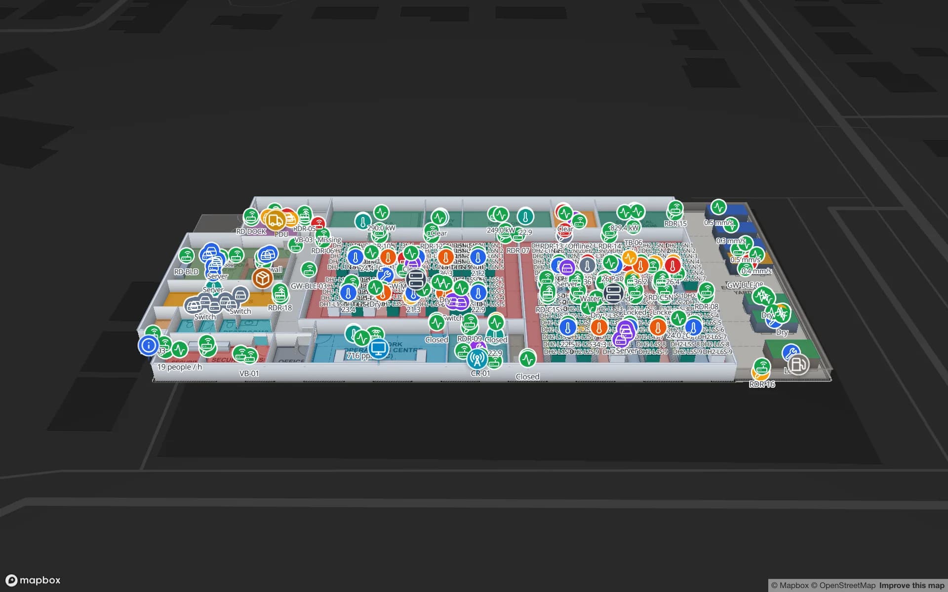
Harborview Corporate Campus — Building A, a corporate office building demo, in the Spatial Map 3D viewer with live device markers
Harborview Corporate Campus — Building A
Harborview Corporate Campus (demo): staff, visitors and equipment located by zone on three office floors, with reader and gateway health beside them.
Steps in the setup wizard, vendor to Start
5
Places a connection can run: cloud or on-site agent
2
How often alert rules are checked
15 s
App languages, including Arabic (right to left)
6

The setup wizard, step by step

A connection is set up the way you add a table or a file: from the Integrations screen, with no code. The wizard walks through the same order every time:

  • 1. Vendor — choose the positioning system. BlueIOT is the built-in driver.
  • 2. Connection and test — enter the server address and login, and run the test before going further.
  • 3. Maps — import the vendor’s floor plan and rooms onto your floors, or link each vendor map to a floor and calibrate it with two or three points.
  • 4. Tags — import the tag list from the vendor, upload a CSV, or type tags inline.
  • 5. Create and Start — choose to create the tables, the map layer, the reports and a starter set of alert rules, then press Start.
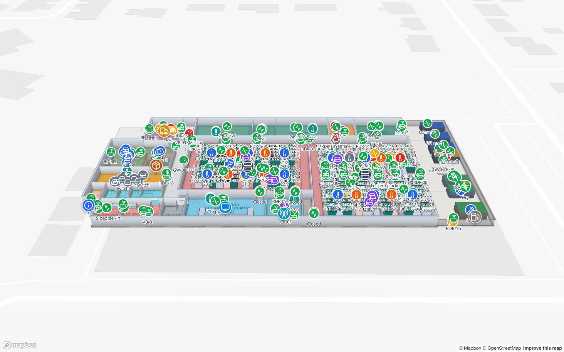
Ridgeline Data Center, a data center demo, in the Spatial Map 3D viewer with live device markers
Ridgeline Data Center
Ridgeline Data Center (demo): gateway and device health shown with last-seen times beside the cabinets and halls they serve.

What Start creates

Start creates ordinary Spatial Map tables in the facility, named after the connection, so every existing feature reads them with no special case. Tags holds the latest state per tag: name, type, room, position, battery, status and last seen. Room visits records each visit and its dwell. Alarms records the vendor’s alarms with active or cleared. Anchors shows each anchor’s status. A layer draws the tags as markers coloured by status, and the linked-data reports are created next to it.

Because they are plain tables, history, the History player, heatmaps, Ask AI (beta), alert rules, share links (tags move live on a shared link) and the report builder all work on connection data the same way they work on anything else.

The connection page

Once running, each connection has its own page, so an admin can tell at a glance whether the feed is healthy.

  • Status — connected or reconnecting, and the last message time.
  • Messages per second — the live volume from the vendor.
  • Tags and anchors online — counts, so a dead anchor shows before a tag goes missing.
  • Live inspector — the raw decoded messages as they arrive, for troubleshooting.
  • Record and replay — record a stretch of raw traffic and replay it later, for testing a setup without the hardware being on.

Cloud or on-site agent

The vendor server is usually on the customer’s local network. A connection can run in one of two places, chosen per connection.

  • Cloud — the connection runs on our side, which needs the vendor server to be reachable from the internet.
  • On-site agent — a small program (`sgv-edge`) on any PC on the same network. It uses outbound HTTPS only, opens no inbound ports, keeps data on disk if the link drops and uploads it later, and shows Online with a last heartbeat in the app. For a fully self-hosted setup, see on-premises deployment.
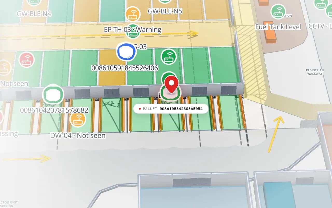
Eastport Cross-Dock in 3D: the view moves from the trailer yard to the dock doors, with RFID pallet markers, gateway markers and a dock reader marked “not seen”
Eastport Cross-Dock Freight Hub
Eastport Cross-Dock (demo): RFID pallet reads, BLE gateways and a door that has not seen a read, in place on the map. Cut from the Logistics film.

Permissions, and what is built in

Setting up or changing a connection needs the data.manage permission, which an admin can give to a role. Members without it can still see the tags on the map but cannot change the connection.

Be clear about the boundary. Only BlueIOT has a built-in driver. Other RTLS engines, such as Sewio, Quuppa, Pozyx or Kontakt.io, connect today by posting rows to a table through the write API or by REST polling, described in integrations. Generic JSON drivers and MQTT are not built yet. Spatial Map does not compute positions and writes nothing back to the vendor system; alerts are in-app only. Custom development can build a relay for another vendor.

Built in, or through the table API

BlueIOTOther RTLS vendors
How it connectsDevice connection from IntegrationsRows posted through the write API, or REST polling
SetupWizard: connection, maps, tags, StartCreate a table, send rows, add a data link
Maps and coordinatesImport the vendor’s map, or calibrate with 2–3 pointsConvert x/y to latitude and longitude in the relay
Room and room visitsCreated automaticallySend the room, or build a report on your data
Vendor alarmsMirrored as in-app alertsPost alarms as rows and add alert rules
On-site agentYes (sgv-edge)Your own relay, or custom development

See RTLS software for the vendor-neutral picture and UWB RTLS software for the UWB detail.

How Spatial Map does it

Connect a positioning system in five steps

  1. 01

    Open Integrations

    A member with the data.manage permission picks the vendor and names the connection.

  2. 02

    Connect and test

    Enter the server address and login, choose cloud or the on-site agent, and run the test.

  3. 03

    Link the maps

    Import the vendor map and rooms, or calibrate each map to a floor with two or three points.

  4. 04

    Import the tags

    From the vendor, from a CSV, or inline.

  5. 05

    Create and Start

    Choose the tables, layer, reports and alert rules to create, then Start and watch the live inspector.

What teams run through a connection

Yards and docks

Tagged tractors and pallets with room visits at gates and dock doors.

Plant floors

Carriers and staff between stations, with dwell per area.

Offices and campuses

Staff, visitors and equipment by zone across several floors.

Data centers

Staff and equipment by hall, with gateway and device health beside them.

See it on real demo facilities

Fictional names, real floor plans, live sensors, RFID, BLE tags and gateways — open any of them in the browser.

All 13 demo facilities

Device connections — frequently asked questions

Only BlueIOT today. Other RTLS engines such as Sewio, Quuppa, Pozyx or Kontakt.io connect by posting rows to a table through the write API or by REST polling. Generic JSON drivers and MQTT are not built yet.

No. The vendor’s location engine does. Spatial Map aligns its coordinates to your floor plan and shows tags, rooms and alarms. It never works out positions from Bluetooth signal strength itself.

It is a small program on a PC in the same network as the vendor server. It sends data to Spatial Map over outbound HTTPS only, needs no open ports, keeps data on disk if the connection drops, and shows Online and its last heartbeat in the app.

Members with the data.manage permission, which an admin can give to a role. Other members can still view the tags on the map.

Yes. The connection page can record a stretch of raw traffic and replay it later, and the live inspector shows decoded messages as they arrive, so a setup can be tested without waiting for tags to move.

Tables for tags, room visits, alarms and anchors, a map layer, reports and, if you choose, a starter set of alert rules. They are ordinary tables, so history, heatmaps, Ask AI (beta), share links and the report builder work on them.

A 7-day free trial covers up to 5 facilities with no credit card. Pro is $60 a month or $600 a year for up to 4 facilities. Hardware, relays and larger estates are quoted per project as custom services or custom development.

Connect your positioning system to a map.

Start a free trial to see the Integrations screen, or send us the vendor name and a floor plan and we will tell you how it connects.