A corridor about 200 miles long, with one main road
The Front Range Urban Corridor stretches about 200 miles from Pueblo, Colorado, to Cheyenne, Wyoming, with Denver the largest city in it and Interstate 25 as its main transportation corridor. The 2020 census counted 5,055,344 people along it. Distribution centers here serve a long, thin market: one building may feed stores in Fort Collins, Colorado Springs and Pueblo in the same week, and deliveries run mostly along a single highway.
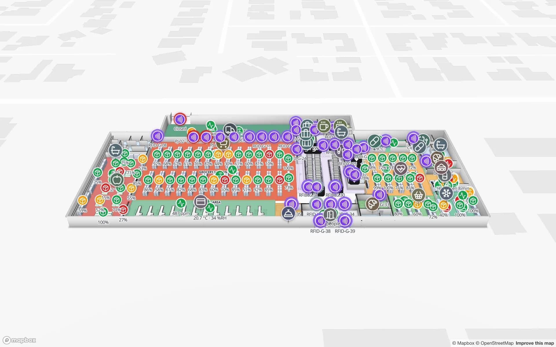
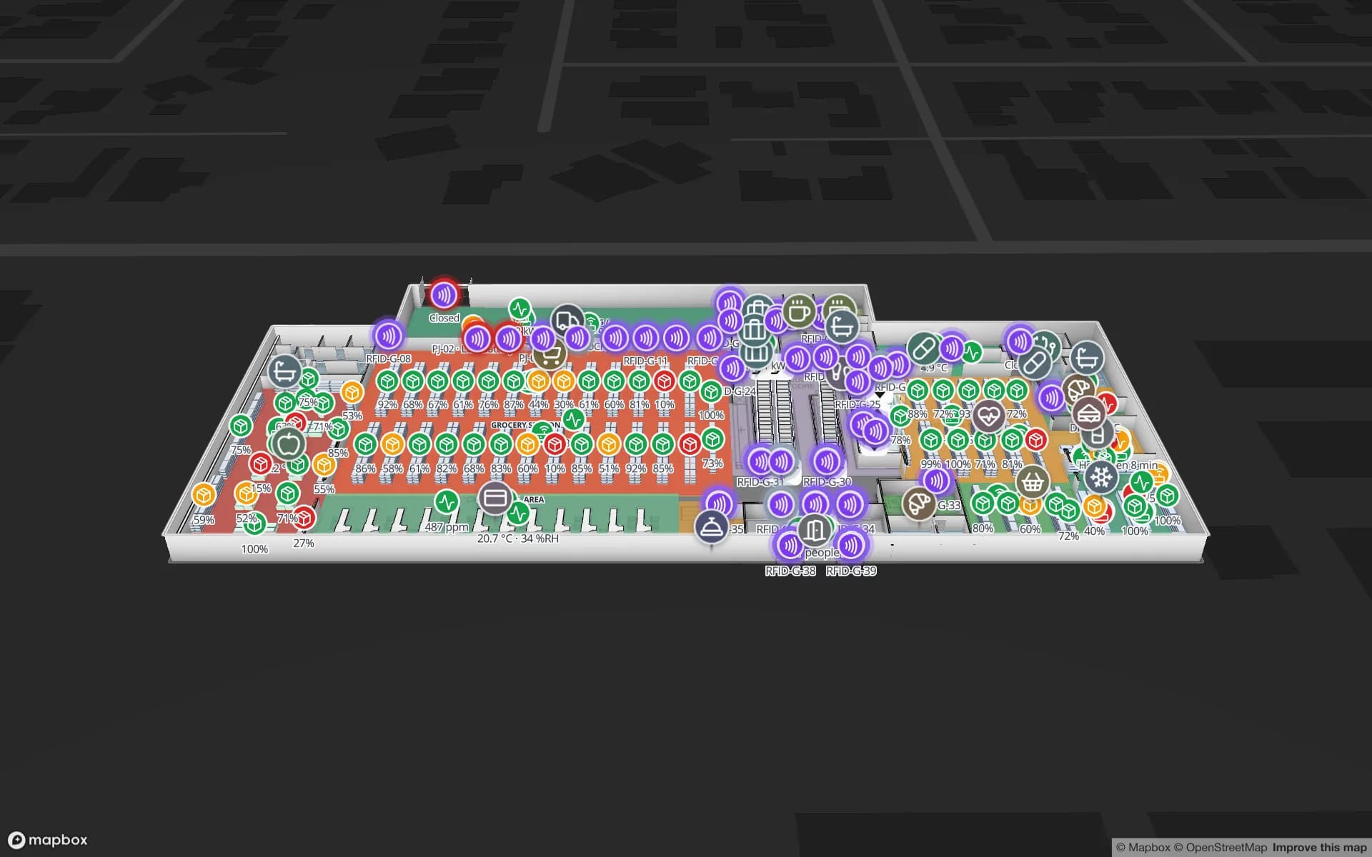
For inventory that means two questions. Which pallets are staged for which run, and which stock has been sitting. Colour each rack by stock status, colour each staging lane by the route it feeds, and a supervisor sees a short lane without walking the building. The Crestline demo shows 20 racks, 2,204 rack locations, staging lanes and the trailer yard, and a bin-inventory CSV is enough to start; see stock by bin on a rack grid. Spatial Map shows what your WMS says and does not write back to it.