Panama City–Colón · Colón Free Zone, Panama Pacifico and the Pacific end of the canal

Warehouse tracking in Panama City, from the Pacific end to the Colón Free Zone

Spatial Map does warehouse tracking in Panama City on a live 3D map of each building: racks coloured from your WMS stock, lots followed through repacking, RFID pallets at the dock door that last read them. The work of the isthmus happens along one short corridor, with the Pacific end of the canal and Panama Pacifico beside the capital, a 76 km railway across the country, and the Colón Free Zone 45 minutes away on the Atlantic side. One workspace can hold warehouses at both ends, and the app is available in Spanish.

No credit card. Runs in the browser. Pro is $60/month for up to 4 facilities. Book a demo

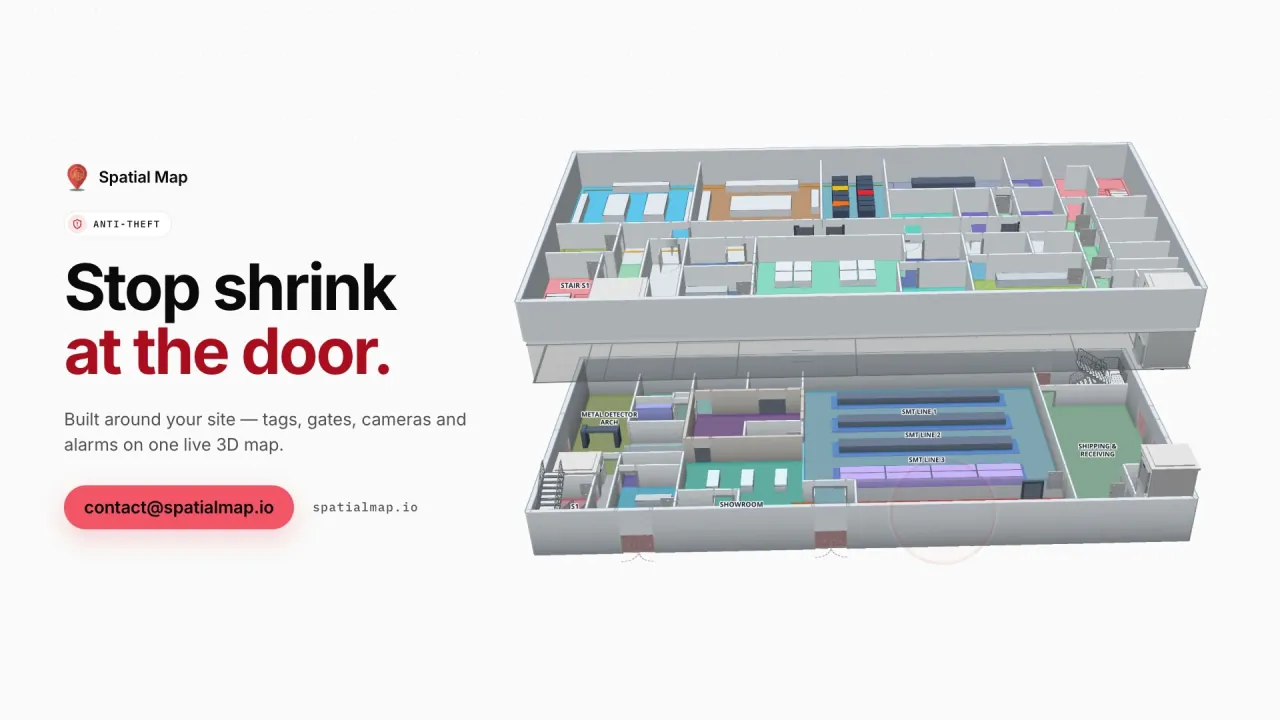
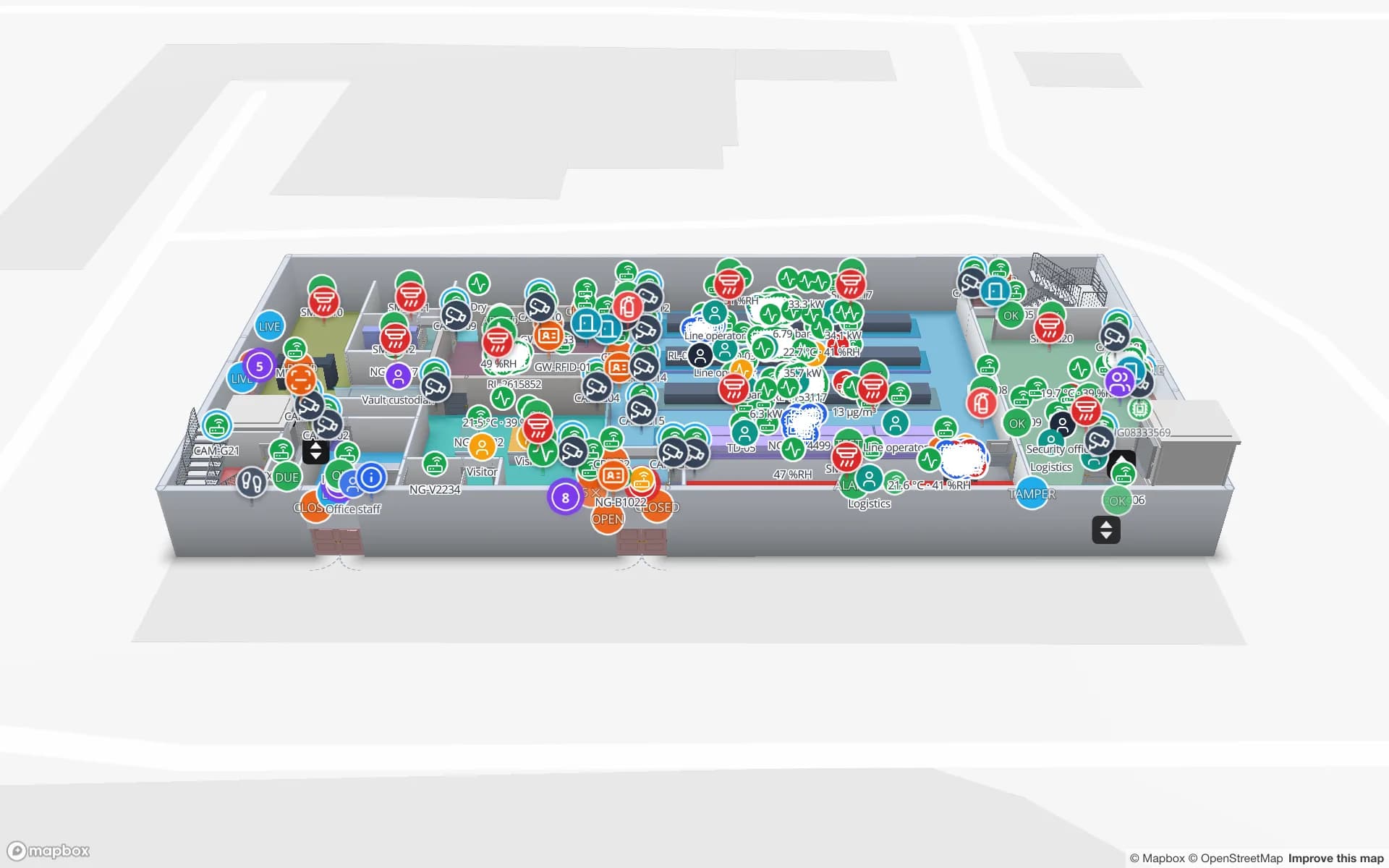
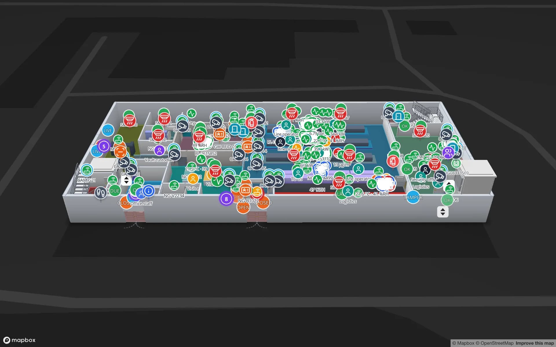
Northgate Electronics — Assembly & Secure Store, a electronics assembly & secure store demo, in the Spatial Map 3D viewer with live device markers
Northgate Electronics — Assembly & Secure Store
Northgate Electronics, a demo plant and secure store: access points, choke-point counters and high-value stock in a vault and cage on a two-floor map.
Floors in the Northgate demo, with its secure store
2
Rack locations coloured by stock in the Crestline demo
2,204
How often alert rules are checked, with alerts shown in the app
15 s
Free trial, up to 5 facilities, no card
7 days

Colón: warehouses where the stock changes shape

Panama’s trade ministry lists four lines of activity in the Colón Free Zone: logistics services, import, export and re-export, repackaging, storage, sales and redistribution, and refining and processing. The zone began in 1948 in a segregated 35 hectares and now covers about 1,064 hectares in nine sectors, 45 minutes from Panama City, so a team based in the capital often manages a warehouse on the other coast.

The inventory problem in that model is not only where a pallet is, but what it has become: a pallet of one brand arrives, is broken into cartons, relabelled and rebuilt into mixed pallets for different destinations. Give each lot a row with its status and location and the map follows it through those steps, so “where is that order now” is answered from the office. The Crestline demo shows 2,204 rack locations coloured by stock status, with staging lanes in front of the docks. Customs and free-zone records stay in your own systems and Spatial Map makes no compliance claim.


The Pacific end: Panama Pacifico and the canal locks

Panama Pacifico sits on the former Howard Air Force Base beside the canal, minutes from Panama City, under Law 41 of 2004, with its own legal framework and an agency that administers it. On the other side of the water, the expanded canal’s Cocolí locks lie southwest of Miraflores. Between them sit the distribution centres, light-industrial units and offices that serve the Pacific end.

For a distribution unit in this area, the map starts as a floor plan: upload the PDF or DWG (AutoCAD R2004–R2018, placed as a picture) and let AI Map draft racks, doors and areas for a person to review. For a unit that holds valuable goods, the Northgate Electronics demo shows a secure store with a vault and cage inventory, access points and choke-point counters, and the anti-theft solution explains how those read-outs work. Spatial Map shows the readers you install; it does not count people on its own.

Across the isthmus by rail, truck and canal

A 76 km railway links the Pacific terminals with the Atlantic ones, and trucks run the same corridor. A warehouse in the capital therefore deals with three arrivals: containers by truck, containers by train and consolidated cargo that came by sea and was split on the way. The questions at the dock are about timing: which door is free, which trailer has waited longest, which container is still in the yard.

Map the doors, yard slots and gate lanes, colour the yard from your yard system and watch dwell build up. The cross-dock and yard visibility guide walks through the data you need, and the Eastport Cross-Dock demo shows 50 dock doors and 44 yard slots on one map. Airfreight through Tocumen International Airport is handled the same way: the warehouse that receives it is mapped like any other.

Sharing the map with owners, drivers and auditors

A warehouse that holds other people’s stock has more readers of its map than most. Owners want their lots, drivers want the right door, and an auditor wants to see how a lot moved last quarter. A read-only share link carries only the floors and layers you choose, with an expiry date and a view cap, and tags move live on it; the viewer’s Navigate button gives turn-by-turn routes inside the building, with walking minutes, so a new driver finds the right dock without a call. Built-in reports export to PDF, Excel, CSV or JSON, and a report can be shared as a public read-only link.

A tropical shed, a dollar price and a Spanish interface

Panama City is hot and humid for much of the year, and sheds without full cooling are common. Heat is a question for your hardware vendor and integrator, not something Spatial Map can verify, but the map can notice: temperature sensors colour the hottest bays, an alert rule fires in the app when a sensor stops reporting, and a heatmap of readings shows which side of the building is worst by afternoon. See warehouse temperature mapping.

The US dollar is legal tender in Panama, and Spatial Map is priced in US dollars everywhere. The interface is available in Spanish, English, French, German, Arabic and Chinese; see the services page in Spanish.

Services for teams in Panama City

Where Panama City teams usually start:

  • Free-zone and re-export warehouses start with inventory tracking, lot by lot, with RFID at the dock doors once the stock map works.
  • Port-side depots and yards often start with asset tracking for trailers, chassis and forklifts.
  • RTLS and UWB is for big yards where vehicles must be located continuously; most warehouses do not need it first.
  • If you have no readers or tags yet, our team can source RFID readers, antennas and tags on request, quoted per project, with warranty and device support from the manufacturer: see hardware and demo kits on request.
  • Where a team has no developers, our team builds an asset management system or an ERP and WMS integration as a client project. The product runs as cloud or on-premises.

Also served nearby

The same approach covers Colón city and the Atlantic ports area, Arraiján, La Chorrera, Tocumen and the sheds along the road to the airport. Nothing needs to be installed: the map opens in a browser.

How Spatial Map does it

From the plan to the repacking lane

  1. 01

    Pick one warehouse

    A repacking hall in Colón, a distribution unit at Panama Pacifico or a depot near the ports.

  2. 02

    Map racks and doors

    Upload the plan or a photo, let AI Map draft the floor, and name locations the way your WMS names them.

  3. 03

    Follow the lot

    The WMS or middleware posts rows with status and location through the table write API, or you upload CSV or Excel.

  4. 04

    Add dwell and heat rules

    In-app alerts for lots staged too long, bays running hot and readers that stopped reporting.

What Panama City teams track

Re-export and repacking warehouses

Lots followed through receiving, repacking and shipping on a rack map.

Port-side depots and cross-docks

Dock doors, yard slots and trailers by dwell time.

Secure stores for high-value goods

Vault and cage stock, access points and choke-point counters on one map.

Warehouse equipment

Forklifts, roll cages and tools found by zone, so peak days do not start with a search.

See it on real demo facilities

Fictional names, real floor plans, live sensors, RFID, BLE tags and gateways — open any of them in the browser.

All 13 demo facilities

Warehouse tracking in Panama City: questions we get

Yes. Keep each warehouse as a facility in one workspace and group them as a named solution, for example “Atlantic side” and “Pacific side”. Anyone with a role can open either from a browser, and a read-only share link gives a customer just their own floor.

No. It has no link to free-zone, port or customs systems. It shows what happens inside your own warehouse, from your WMS, RFID reads and sensors, so customs and free-zone records stay where they are.

Each lot is a row with a status (received, repacking, ready, shipped) and a location, and areas and racks colour from that field. Your WMS or middleware posts the rows, or you upload CSV or Excel. The History player replays how a lot moved.

Yes, if your yard or gate system supplies arrival times. Yard slots colour by dwell and an alert rule can fire in the app when a trailer has waited longer than you set, checked every 15 seconds. Alerts are shown in the app only.

Yes, in Spanish and five other languages, with each user choosing their own; Portuguese is not available. See the services page in Spanish. Your own room names, rack codes and report titles appear exactly as typed.

No. Spatial Map is sold online and our team works with customers in Panama remotely, by video call and through the contact form. There are no local resellers or partners.

In US dollars, the same worldwide: a 7-day free trial for up to 5 facilities with no card, then Pro at $60 a month or $600 a year for up to 4 facilities. RFID hardware, if you ask us to source it, is quoted per project and is not part of the subscription.

Map one Panama warehouse before the next shipment.

Start the free trial and open the Crestline demo, or send us the plan of a repacking hall, canal-side depot or free-zone warehouse and a stock export through the contact form.