Astana · Expo grounds, the airport terminal and a long winter

Indoor mapping in Astana: halls, terminals and a capital built indoors-first

Spatial Map is browser-based indoor mapping software: it turns a floor plan into a 3D map of every floor, with rooms, doors, lifts and stairs, and puts live data on top. Indoor mapping in Astana has an unusual setting: a capital that became the seat of government in 1997, an Expo site built for 2017, an airport terminal and a railway station added for that event, and a winter cold enough that much of city life happens inside. The buildings are mapped the same way in every case.

No credit card. Runs in the browser. Pro is $60/month for up to 4 facilities. Book a demo

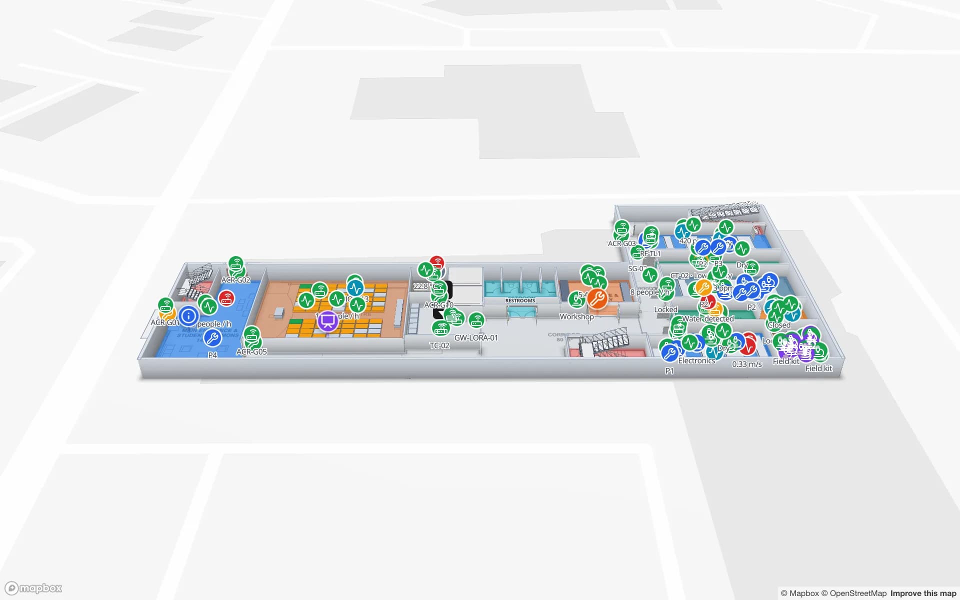
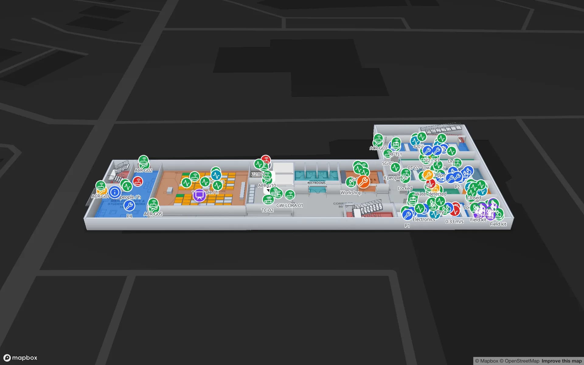
Lakeside Convention Center, a convention center demo, in the Spatial Map 3D viewer with live device markers
Lakeside Convention Center
Lakeside Convention Center, a demo exhibition venue on two floors: halls with booth blocks, session rooms, a plenary auditorium, registration and loading docks.
Floors in the Lakeside convention demo
2
Floors in the Silverbay airport demo, with routes across floors
2
App languages, English among them
6
Free trial, up to 5 facilities, no card
7 days

A capital that changed its name twice, and its buildings often

The capital moved from Almaty to Astana on 10 December 1997. The city was renamed Nur-Sultan in March 2019 and went back to Astana in September 2022. A city that renames itself and builds fast is a good argument for a map whose labels are editable text and whose floor plans are replaced when a building is refitted: re-upload the plan, align it, and AI Map can re-run on just the area that changed, skipping what is already drawn.

New buildings usually come with CAD or BIM drawings, which is the easy case. Upload the PDF or DWG (AutoCAD R2004–R2018, placed as a picture), align it at real scale, and draft walls, doors, rooms, stairs and lifts for a person to review. The post on turning a CAD floor plan into a 3D browser map explains the steps.


The Expo grounds and exhibition halls

Expo 2017 opened on 10 June 2017 under the theme “Future Energy”, and it drew millions of visits. The exhibition complex was built near Nazarbayev University; the foundation capsule was laid on 24 April 2014. An exhibition hall changes its layout for each event, which is where a map earns its keep: booths as areas coloured by exhibitor status, session rooms coloured by booking, loading docks with freight bookings, and a plenary auditorium drawn seat by seat.

The Lakeside demo shows exactly that on two floors, with occupancy and badge scans shown live, and the post on stadium and venue operations on a live 3D map describes how the same idea scales. Spatial Map reflects what your counters, sensors and scanners report; it does not count people by itself.

Offices and the technology campus

The Astana International Financial Centre opened in July 2018, and Astana Hub, created in 2018, is described by the government as the largest international technology park for IT startups in Central Asia. Shared offices, meeting rooms and hot desks suit the indoor map of an office building: rooms coloured by whether they are booked or free, equipment placed where it stands, and a room finder that gives a route across floors.

The Harborview demo shows a three-floor office with an asset register, equipment check-out, meeting rooms and work orders. Nothing about Spatial Map is specific to a tenant or an operator; a facilities team or a tenant’s IT team can run the map.

The airport terminal and the railway station

The new terminal at Astana’s airport, 17 km south-east of the centre, was built for Expo 2017 and opened in the middle of that year. It covers 47,000 m², twice the size of the old one; planners expected annual capacity to rise from 3.5 to 8.2 million passengers and peak-hour capacity from 750 to 2,000. The Nurly Zhol railway station was built at the same time, with a capacity of 12,000 people.

Large terminals have a double need: staff must know where equipment and crowds are, and passengers must find their way. The Silverbay demo shows an airport terminal on two floors with check-in, security, gates and baggage reclaim, and wayfinding routes that cross floors by lift, escalator or stairs: Fastest, Step-free and other routes, with turn-by-turn steps and walking minutes. There is no blue-dot positioning for visitors. See indoor wayfinding in airports and malls.

Winter indoors

Astana is the second-coldest national capital in the world after Ulaanbaatar, with a January average of −14.5 °C. In a climate like that people use lobbies, passages and halls as part of the route, so the indoor map is the map for much of the year, and a step-free route matters more when ice and snow cover the ramps.

Temperature and occupancy sensors in halls can be coloured on the plan, so a facilities team sees a cold hall, a stuck door or a crowded lobby at a glance, with an in-app alert when a reading passes its limit. Which heating, sensors and doors a building has is for its owner; the map shows what they report.

Services for teams in Astana

Teams in Astana usually start from the building:

Also served nearby

The same approach covers the Akmola region around the capital, including Kokshetau and Stepnogorsk. Nothing needs to be installed at any of them.

How Spatial Map does it

From a drawing to a map people use

  1. 01

    Upload the plan

    A PDF, DWG or image of each floor, placed at real-world scale.

  2. 02

    Draft and review

    AI Map drafts walls, doors, stairs and lifts; you correct the draft and name rooms, halls and gates.

  3. 03

    Connect live data

    Bookings, sensors, scanners and counters post rows through the write API, a polled REST endpoint or CSV and Excel uploads.

  4. 04

    Share and route

    Read-only share links for staff and partners, and wayfinding routes across floors with step-free options.

What Astana teams map

Exhibition halls and event venues

Booths, sessions, registration and loading docks with live occupancy.

Airport and station concourses

Check-in, security, gates and baggage reclaim with routes across floors.

Office and campus buildings

Meeting rooms, shared equipment and stores by floor.

University buildings

Labs, lecture rooms and equipment bookings on a campus map.

See it on real demo facilities

Fictional names, real floor plans, live sensors, RFID, BLE tags and gateways — open any of them in the browser.

All 13 demo facilities

Indoor mapping in Astana — questions we get

No. Spatial Map has no blue-dot positioning for visitors. It gives routes between places across floors, with turn-by-turn steps and walking minutes, and it shows tagged equipment and staff when your systems report their positions.

Only the part that changed. Upload the new plan and let AI Map re-run on just that area; shapes that already exist are skipped, and a person reviews the rest before it is added.

No. The app is available in English, Spanish, French, German, Arabic and Chinese, and each user picks their own. Room names, labels and report titles you write can be in Russian or Kazakh.

It shows what your sensors and counters report. Post their readings to a table, and rooms and zones are coloured by value, with an in-app alert when a reading passes its limit. The map does not count people on its own.

No. Spatial Map is sold online and our team works with customers in Kazakhstan remotely, by video call and through the contact form. There are no local resellers or partners.

In US dollars, the same worldwide: a 7-day free trial for up to 5 facilities with no card, then Pro at $60 a month or $600 a year for up to 4 facilities. Larger estates are quoted as custom services.

Map one hall or concourse before the next event.

Start the free trial and open the Lakeside and Silverbay demos, or send us the plan of an exhibition hall, terminal or office floor through the contact form.