A city of hills: why a building has several “ground floors”
Amman was initially built on seven hills and now spans more than 19 hills, grouped into 22 areas under the Greater Amman Municipality. Its elevation runs from about 700 to 1,100 m, and many districts take their names from a hill (jabal) or a valley (wadi), such as Jabal al-Luweibdeh and Wadi Abdoun. On slopes like these a building often has a street entrance on one side at level 0 and another, on the far side, at what its drawings call level 2.
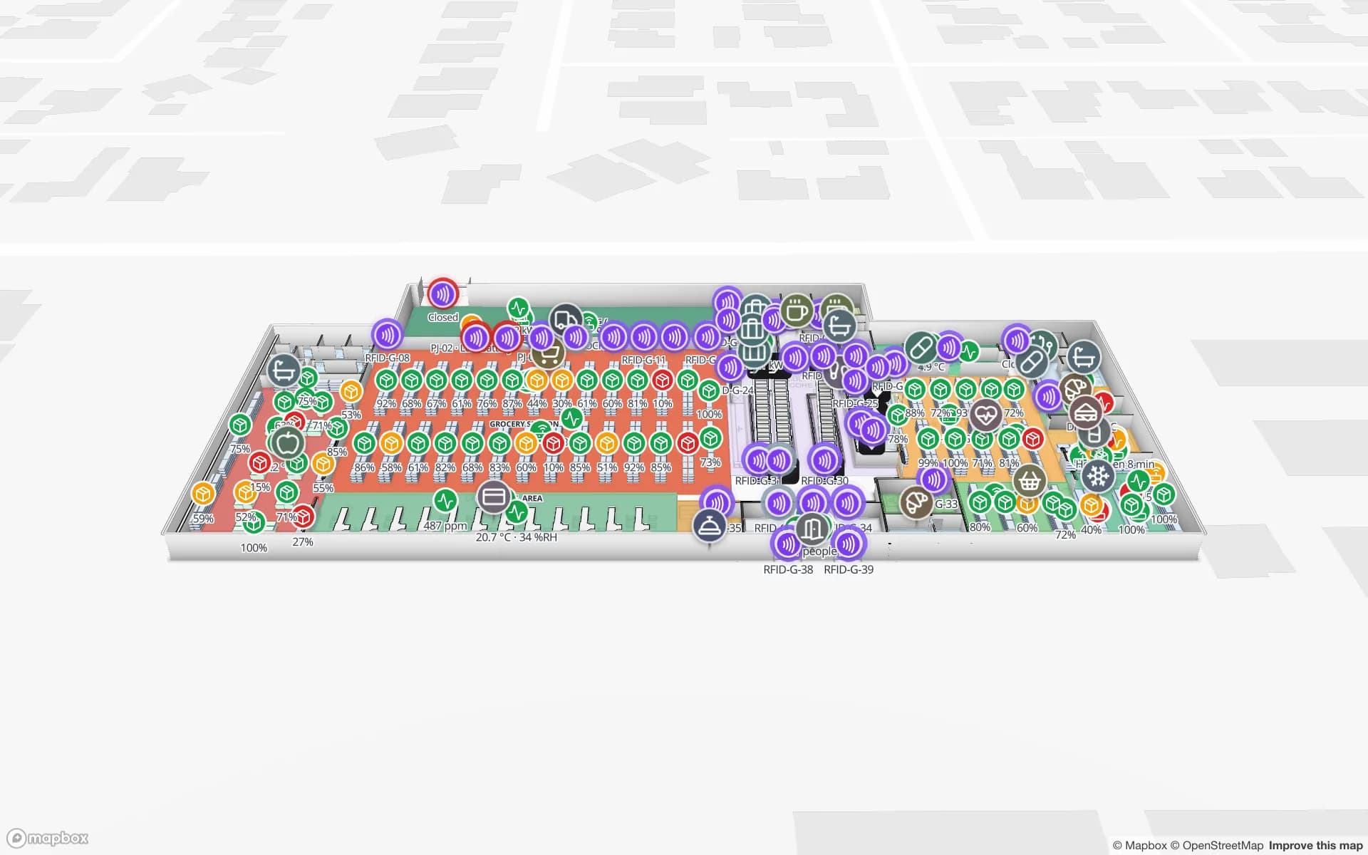
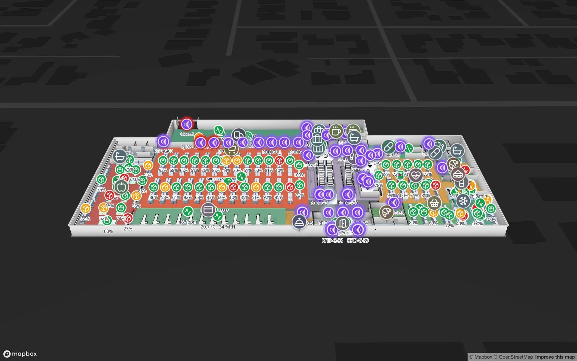
That is awkward for a flat floor-plan folder and easy for a map built floor by floor. Spatial Map lets you draw each level with its own doors, mark every street-level entrance on the floor where it really is, and join the levels with stairs, lifts and escalators. The wayfinding tool then plans a route between any two points across levels, with Fastest, Step-free and Other route options and walking minutes, so a visitor arriving at the “back” door is not sent up an extra floor. Routes are shown in the browser and on read-only share links; there is no live blue dot and no mobile app. The Retail Mart demo shows three floors joined by an escalator core and lifts.