United Arab Emirates · Dubai and Abu Dhabi

Indoor mapping and RFID tracking in Dubai and the UAE

The UAE is one of the world's great transit points for goods and people: re-export warehouses in the free zones, air cargo at two Dubai airports, terminals, malls and exhibition halls that run around the clock. Spatial Map puts each of those buildings on a live 3D map, fed by the RFID readers, BLE tags and sensors already in place, and shared with everyone who needs to see it — in English, Arabic or four other languages.

No credit card. Runs in the browser. Pro is $60/month for up to 4 facilities. Book a demo

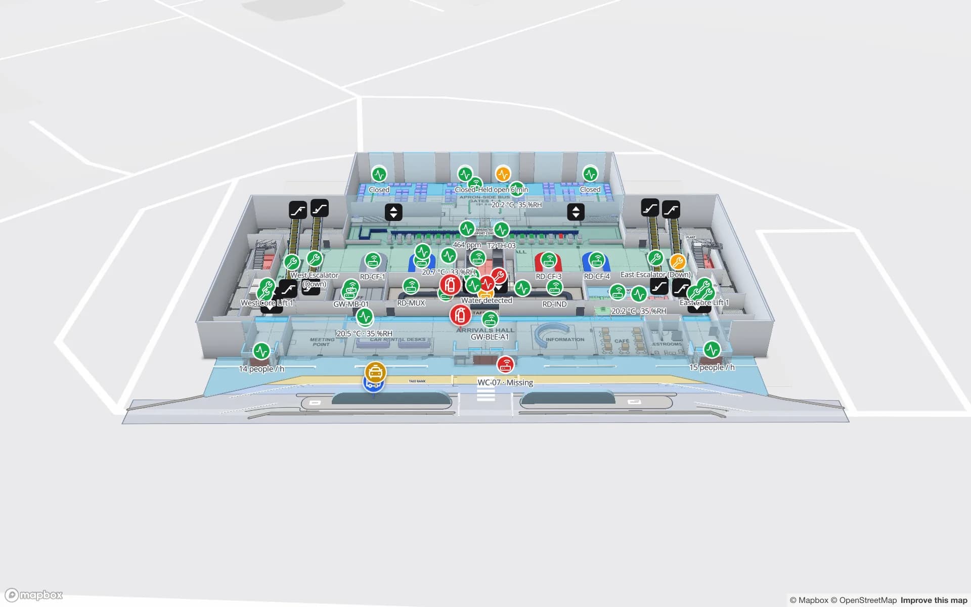
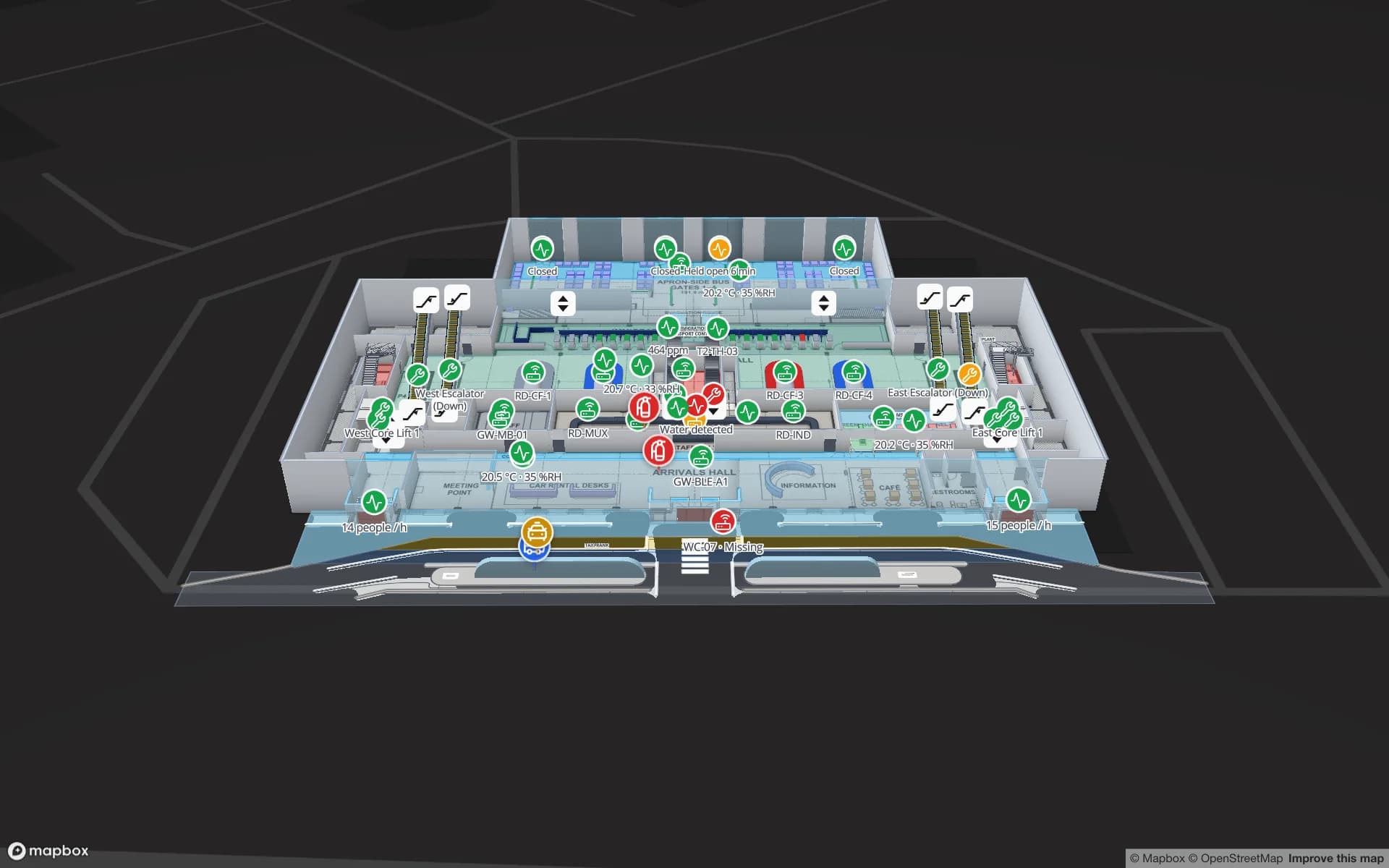
Silverbay International Airport — Terminal 2, a airport terminal demo, in the Spatial Map 3D viewer with live device markers
Silverbay International Airport — Terminal 2
Silverbay International Airport Terminal 2, a demo terminal: check-in, security and immigration throughput, gates, baggage carousels, RFID bag tags and terminal crowding.
Interface languages, including Arabic with full RTL
6
Demo facilities, from an airport terminal to a cross-dock
13
Installs — runs in any modern browser
0
Pro per month, the same price worldwide
$60

Jebel Ali, the free zones and re-export logistics

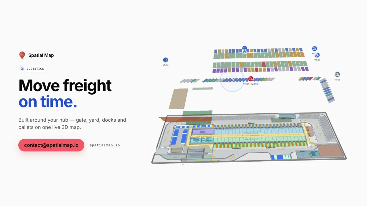
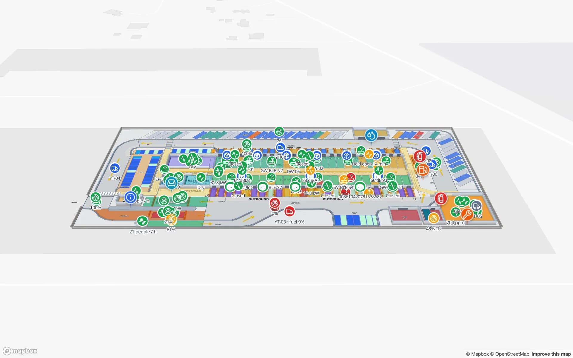
Jebel Ali Port is one of the largest container ports in the world, and the free zone beside it hosts thousands of companies that import, store and re-export goods across the Gulf, Africa and South Asia. Much of that stock sits in multi-client 3PL warehouses and cross-docks where speed matters more than storage: pallets arrive, are relabelled or split, and leave again within days.

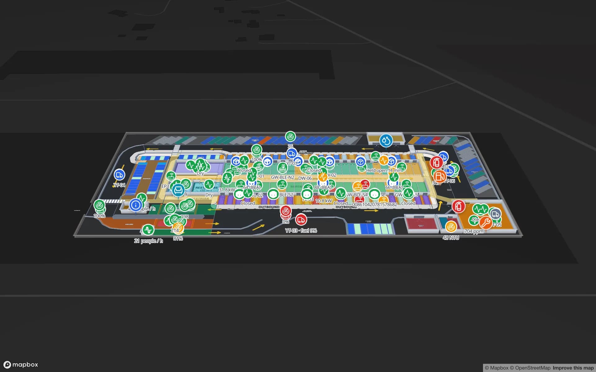
In Spatial Map those sites become live floor plans: dock doors and yard slots, RFID-tagged pallets read at the gate and in the staging lanes, rack locations coloured from your WMS, forklifts and staff as live markers. The Eastport Cross-Dock demo shows 50 dock doors, 44 yard slots and 1,180 RFID pallets; Crestline Fulfillment shows 2,204 rack locations with pick-to-light and packing.
Airports, air cargo and Dubai South

Dubai International is one of the world's busiest airports for international passengers, and Dubai South — the district around Al Maktoum International Airport — is being developed as a combined aviation, logistics and residential city. Terminals and cargo sheds are dense, multi-level buildings where operations teams need to see queues, gates, bags and equipment at once.

The Silverbay Airport demo maps a two-level terminal with check-in islands, security lanes, immigration booths, gates and carousels. RFID bag tags are followed from bag drop to reclaim, BLE-tagged wheelchairs and equipment show where they were last seen, and gateway health reports show which devices have gone quiet.

Abu Dhabi: KEZAD, Khalifa Port and industry

In Abu Dhabi, the Khalifa Economic Zones (KEZAD) next to Khalifa Port bring together manufacturing, logistics and food processing in one large industrial cluster. Plants there need a different map from a warehouse: production lines, work in progress, raw-material and finished-goods racks, docks and the routes between them.

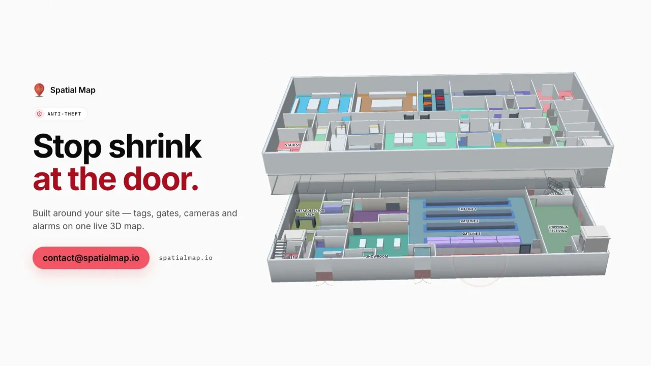
The Summit Assembly demo shows a plant with its lines, WIP and 867 rack locations. Your MES or ERP posts rows to a table, and the plant map colours lines by status and racks by stock.

Malls, exhibition halls and large events

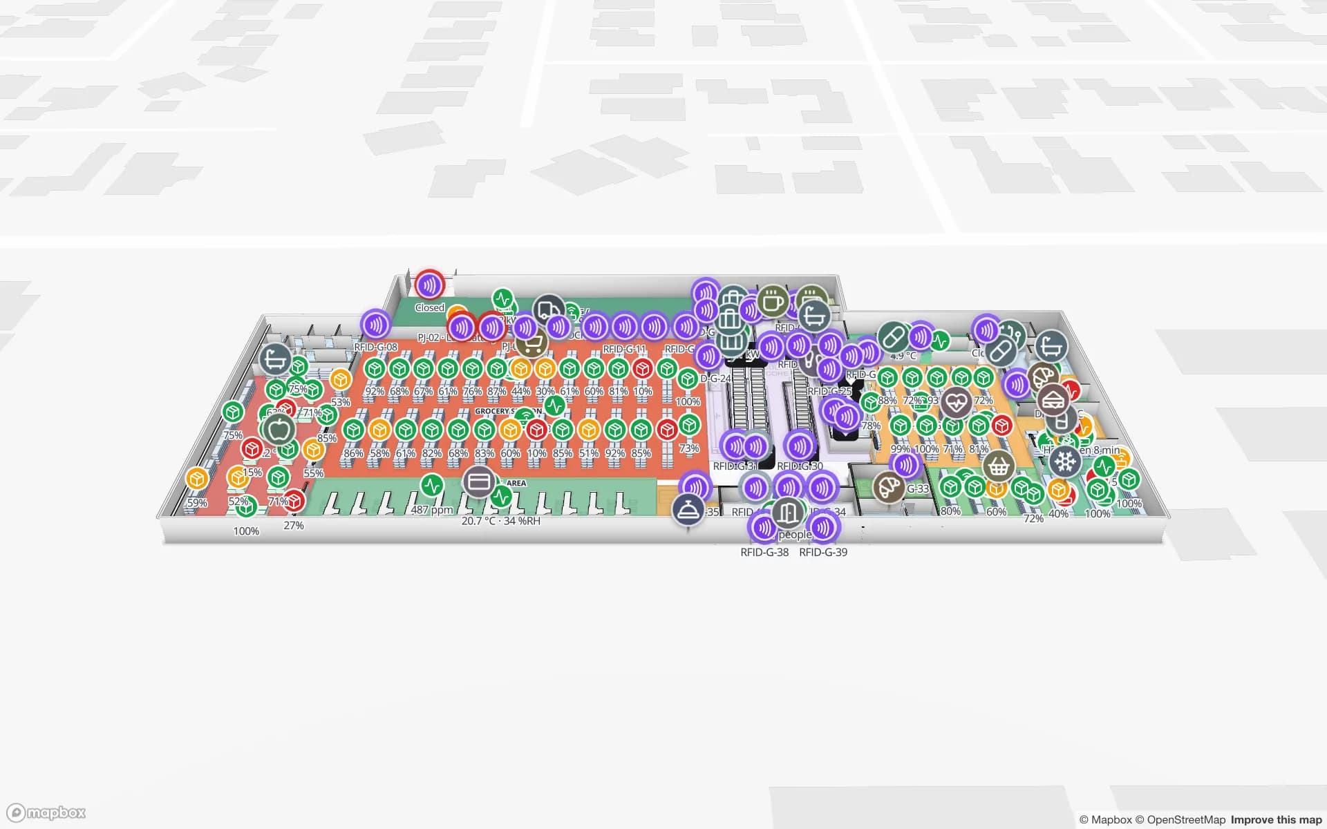
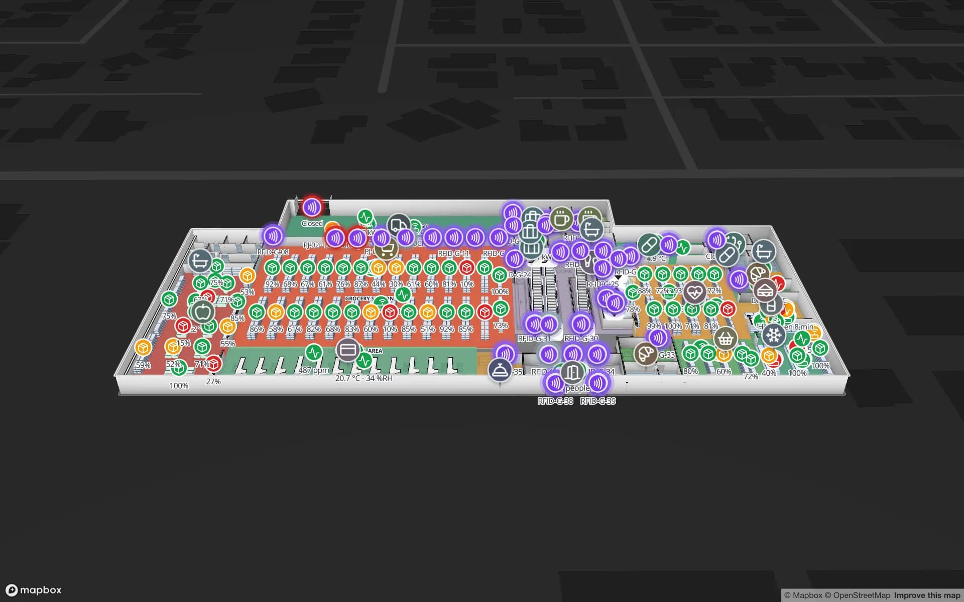
Dubai and Abu Dhabi are known for very large malls and for exhibition and events venues that host international trade shows all year. For a mall operator or a multi-floor retailer, Spatial Map maps every level with its escalators and lifts, RFID readers at the exits, shelf and department stock, and fridge and freezer sensors — as in the Retail Mart demo with 85 RFID readers.

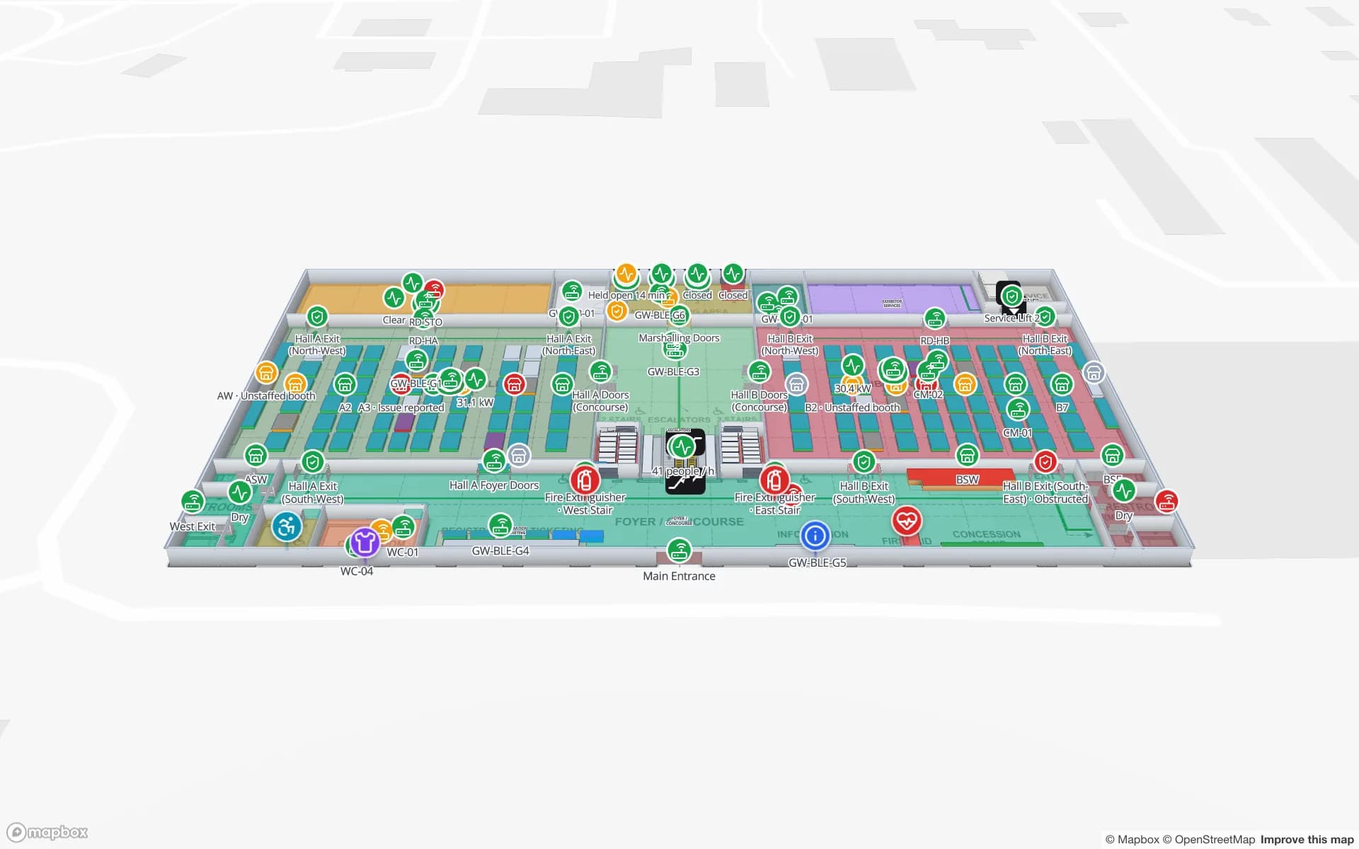
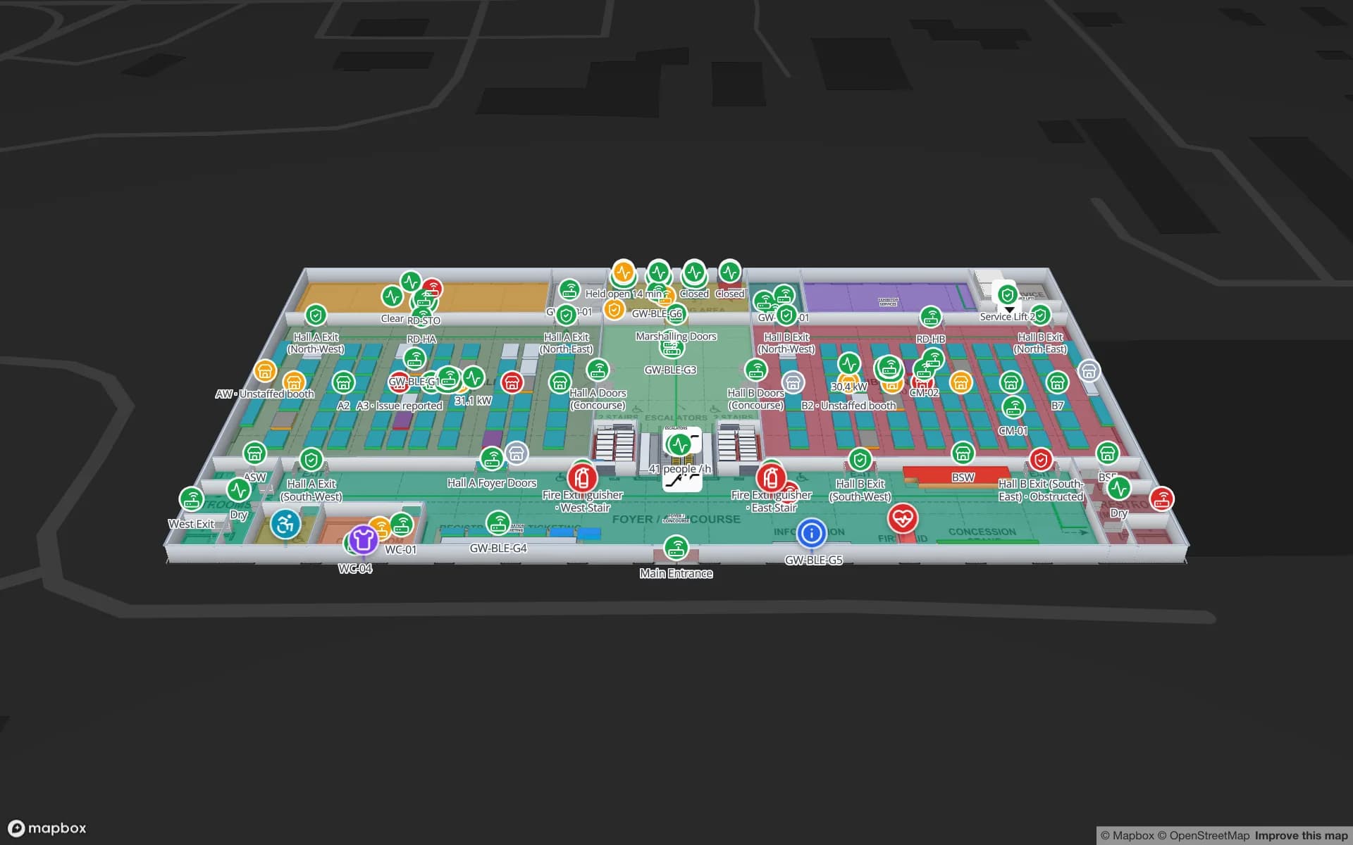
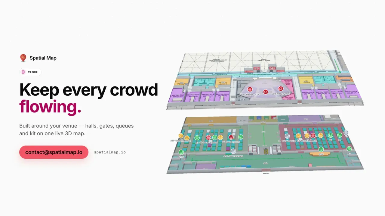
For exhibition centres, the Lakeside Convention Center demo shows halls with booth blocks, session rooms over capacity, and crates moving from the dock to the booth. The Navigate button builds turn-by-turn walking routes on each floor, also on read-only share links handed to exhibitors and contractors.

Food imports and the cold chain

The UAE imports most of its food, so a large share of what reaches supermarket shelves passes through cold stores, chilled cross-docks and distribution centres first. Keeping those rooms within range — and proving it afterwards — is a daily task for food safety and QA teams.

Spatial Map colours each cold room, freezer and chiller by the live reading from your temperature sensors, shows door states and held pallets, and keeps every change in the row history. Reports export to PDF or Excel for the file; your own procedures and QA records remain the formal record. See the cold-chain solution.

Smart-city programmes and multilingual teams

Under the Digital Dubai programme and similar initiatives in Abu Dhabi, government and private operators are being encouraged to digitise their services and buildings. A browser-based digital twin fits that direction: nothing to install, accessible from any control room, tablet or phone, and shareable through expiring read-only links.

UAE workforces are among the most international anywhere. The Spatial Map interface is available in English, Arabic (fully right-to-left), Chinese, French, German and Spanish, and each user picks their own.

How Spatial Map does it

How a UAE site goes live

  1. 01

    Upload the drawings

    PDF or DWG (AutoCAD R2004–R2018) floor plans for each level of the terminal, mall or warehouse, placed at real-world scale.

  2. 02

    Model the building

    Draw racks, rooms, gates, walls, doors, stairs, lifts and escalators in 3D.

  3. 03

    Feed it live data

    Your RFID middleware, BLE engine, WMS or sensor platform posts rows to a table or exposes a REST endpoint we poll.

  4. 04

    Operate and share

    Live map, history player, reports exported to PDF and Excel, and read-only links for clients and contractors.

What UAE operators use it for

Free-zone 3PL warehouses

Rack-level stock per client, pick-to-light, packing and staging lanes on one map.

Re-export cross-docks

Dock doors, yard slots and RFID pallets from gate and weighbridge to the outbound lane.

Airport terminals

Queues, gates, bag tags and BLE-tagged wheelchairs across both terminal levels.

Malls and department stores

RFID at exits, escalators and lifts, with shelf stock and fridge sensors per floor.

Exhibition and event venues

Halls, booths, session rooms over capacity and crates from dock to booth.

Food cold stores

Chillers, freezers and held pallets coloured by live temperature, with exportable reports.

See it on real demo facilities

Fictional names, real floor plans, live sensors, RFID, BLE tags and gateways — open any of them in the browser.

All 13 demo facilities

Questions from teams in the UAE

No. There is no Dubai office, free-zone entity or reseller. Spatial Map is bought online and our team supports UAE customers remotely, by video call or through the contact form.

Yes. Every workspace is isolated, so each client can have its own workspace. Alternatively, give a client a read-only share link limited to the layers and floors you choose, with an expiry date and no account needed.

Yes. Facilities are multi-floor in 3D with stairs, lifts and escalators. The Navigate button builds turn-by-turn walking routes around walls and through doors; routes stay on one floor.

English, Arabic with a full right-to-left layout, Chinese, French, German and Spanish. Each user picks their own language.

Prices are set in US dollars and are the same worldwide: a 7-day free trial for up to 5 facilities, then Pro at $60 a month or $600 a year for up to 4 facilities. Larger estates are quoted as fixed-price custom services.

See your UAE facility live this week.

Start the free trial, or send us the floor plan of a warehouse, terminal or mall and a sample of your data, and we will show it back to you on a live map.