Seattle–Tacoma · Seaport Alliance, Kent Valley and aerospace parts

Inventory tracking in Seattle and Tacoma, from the harbors to the Kent Valley

Spatial Map shows what is in a warehouse and where, on a live 3D map of the building, coloured from your WMS or bin-inventory export and from the RFID reads at its doors. Inventory tracking in Seattle runs along a chain: two harbors that now manage their marine cargo together, a valley of warehouses between the cities, and manufacturers whose parts are small, valuable and serialized. Each building is its own map and all of them can sit in one workspace.

No credit card. Runs in the browser. Pro is $60/month for up to 4 facilities. Book a demo

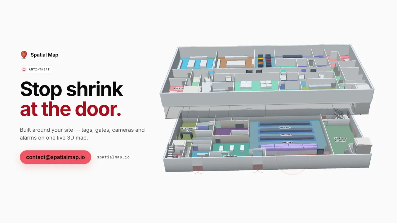
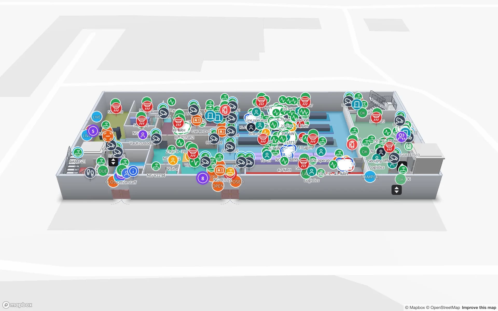
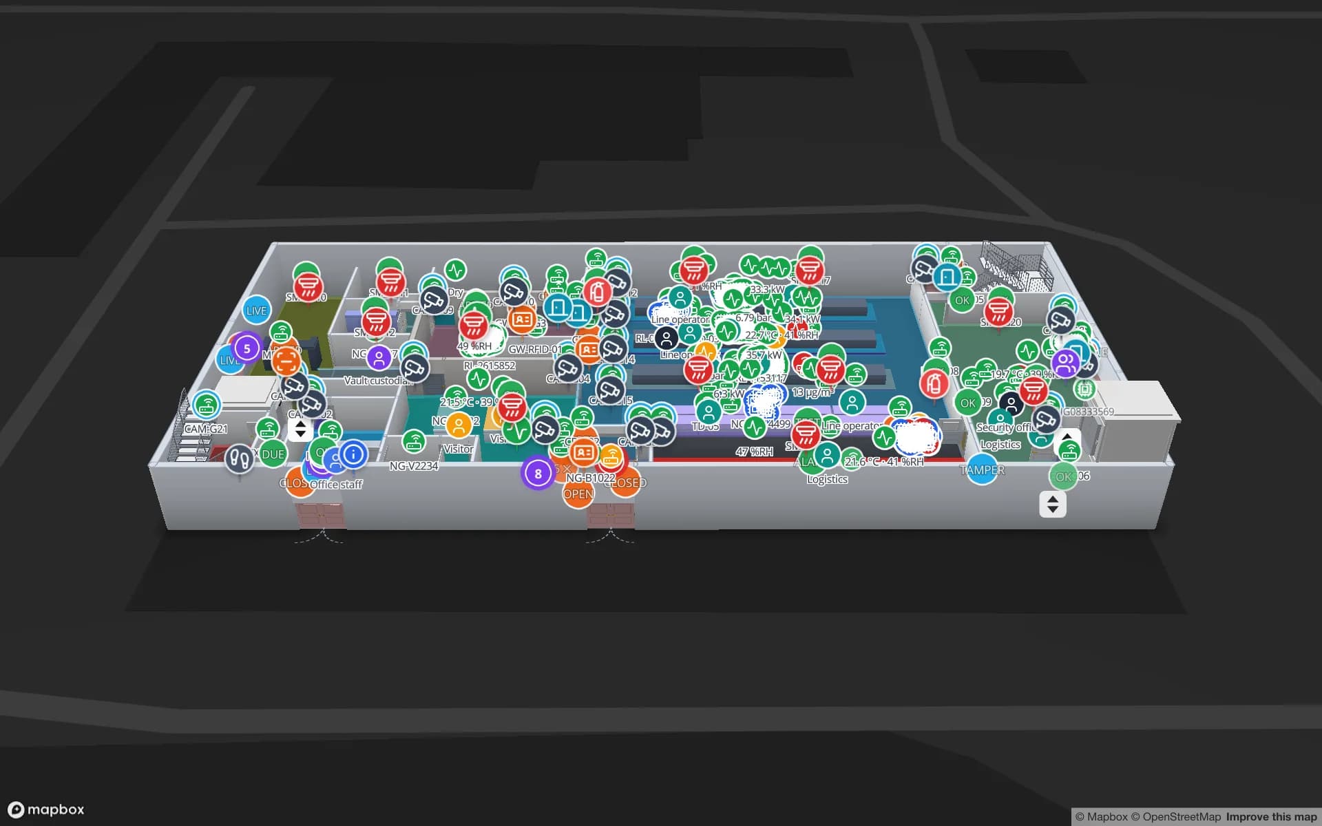
Northgate Electronics — Assembly & Secure Store, a electronics assembly & secure store demo, in the Spatial Map 3D viewer with live device markers
Northgate Electronics — Assembly & Secure Store
Northgate Electronics, a demo electronics plant: a secure store, vault and cages, choke-point counters and 863 high-value units on two floors.
High-value units followed in the Northgate demo
863
Floors in the Northgate demo plant and secure store
2
How often alert rules are checked, with alerts shown in the app
15 s
Free trial, up to 5 facilities, no card
7 days

Two harbors, one cargo authority, and the transload warehouses around it

The Northwest Seaport Alliance says the ports of Seattle and Tacoma “joined forces to unify management of our marine cargo facilities”, the first arrangement of its kind in North America. It handles containers, bulk, breakbulk, project and heavy-lift cargo, automobiles and trucks, and it points out that over 100 warehouse facilities operate within 15 miles of port facilities for transload. On its pages Terminal 18 in Seattle has 196 acres with on-dock rail and room for 18,000 TEU vessels; Husky Terminal in Tacoma has 120 acres.

A transload warehouse takes the contents of an ocean container and sends them on in domestic trailers or rail cars. Its stock changes owner and identity at the door: a container number goes in, pallets by purchase order come out. The map shows that moment in place: door, lane, rack. Spatial Map does not connect to terminal systems; it starts at your building’s gate.


The Kent Valley: big buildings, many tenants

Between the two cities, the Kent Valley is described by both the Kent Chamber of Commerce and the City of Kent as one of the largest warehouse and distribution areas in the country; their rankings differ, so none is quoted here. The Chamber adds that Kent is connected to Puget Sound by Interstate 5 and five other state highways.

Large multi-tenant buildings mean several clients’ stock on one floor. Group each client’s racks and reports into a named solution inside one workspace, give the client a read-only share link limited to its layers and floors, and let supervisors compare each client’s bin counts without reading a spreadsheet. Stock by bin on a rack grid shows how a CSV export drives the colours, and warehouse reports and dashboards covers the exports to PDF, Excel, CSV and JSON.

Aerospace parts: small, serialized, valuable

Washington State Commerce calls aerospace a $71 billion industry with more than 1,500 aerospace suppliers, and notes commercial aircraft operations in Everett and Renton. For a parts store the stock is not cartons but serialized fasteners, fittings, kits and tooling, often in cages, with a cost of loss out of proportion to size.

The Northgate demo shows the same shape in electronics: a secure store, a vault and cages, and 863 high-value units followed through security zones and choke points. RFID tags on kits and tool boxes, read at the cage door and the line-side crib, let the map show where a kit is and who last had it (RFID tool tracking). Your quality system remains the record: Spatial Map makes no certification or traceability claim, and its alerts are in-app only.

Outdoor and oversize stock

Because the alliance also handles breakbulk, project cargo and vehicles, a lot of Seattle-area stock is outdoors or too large for a rack. Draw the yard, laydown area or vehicle lot as areas and yard slots and track the loads that sit in them, the way the Eastport demo does with its trailer yard and gate lanes. Spatial Map is indoor mapping first; outdoor areas are drawn the same way as rooms, and nothing positions a vehicle from GPS on its own.

Services for teams in Seattle

Seattle and Tacoma teams usually start in one of three places:

  • Transload and distribution warehouses begin with inventory tracking by rack location, then RFID at the dock doors.
  • Manufacturers and parts stores add asset tracking for tooling, kits and returnable containers.
  • RTLS and UWB fits large, busy buildings where people and vehicles must be located continuously.
  • If you have no readers or tags yet, our team can source RFID readers and tags on request, quoted per project, with warranty and device support from the manufacturer: see hardware and demo kits on request.
  • Inventory back offices, handheld apps and ERP integrations are built as client projects, for example an RFID inventory system. The product runs as cloud or on-premises.

Also served nearby

The same page covers Kent, Auburn, Renton, Tukwila and the rest of the valley, Fife and Puyallup near Tacoma, and Everett to the north.

How Spatial Map does it

Building a Seattle inventory map

  1. 01

    Start with a bin export

    A CSV of bins, quantities and statuses colours the racks once the floor plan is aligned.

  2. 02

    Map the building

    Upload the plan, let AI Map draft walls, docks and racks, and correct what it gets wrong.

  3. 03

    Add RFID where it pays back

    Dock doors for receiving and a cage or crib door for high-value kits.

  4. 04

    Share per client

    Group each client’s facilities in a solution and send a read-only link with an expiry.

What Seattle–Tacoma teams track

Port transload warehouses

Container contents by door, lane and rack, with trailers in the yard.

Multi-tenant distribution

Rack-level stock per client and exports for client reviews.

Aerospace parts and kits

High-value units in cages and vaults, with reads at the choke points.

Plant material flow

Raw materials, work in progress and finished goods between docks and lines.

See it on real demo facilities

Fictional names, real floor plans, live sensors, RFID, BLE tags and gateways — open any of them in the browser.

All 13 demo facilities

Inventory tracking in Seattle — questions we get

No. It reads from your WMS or bin export and shows stock on the building. Data comes in through CSV and Excel uploads, a polled REST endpoint or the table write API, and nothing is written back to your WMS or ERP.

If your system records both the container and the purchase-order pallet, they can be two columns on one row, and the map filters or colours by either. Spatial Map does not read containers on the terminal; it follows what your building records.

Spatial Map makes no certification or compliance claim. It shows where tagged kits and cages are and what the readers reported, with a History player; your quality system remains the record.

Yes, as areas and yard slots drawn on the plan or an aligned image of the site, with loads placed by your own data. Spatial Map does not track vehicles by GPS by itself.

No. Spatial Map is sold online and our team works with customers in the United States remotely, by video call and through the contact form. There are no local resellers or partners.

In US dollars, the same worldwide: a 7-day free trial for up to 5 facilities with no card, then Pro at $60 a month or $600 a year for up to 4 facilities. Larger estates are quoted as custom services.

Map one Seattle–Tacoma warehouse this week.

Start the free trial and open the Northgate demo, or send us a floor plan and a bin-inventory export through the contact form and we will show you your own building live.