
Hakata: an old trade port, 180 kilometres from Busan
Hakata was Japan’s primary port for trade with mainland Asia, trading with the Song and Yuan dynasties of China and with Korea in the Muromachi period, and the city is still built along the shore of Hakata Bay. Busan lies about 180 kilometres away, and hydrofoil ferries run between Hakata and Busan. The prefecture’s own investment pages also describe Hakata as a port with a large number of international container routes.
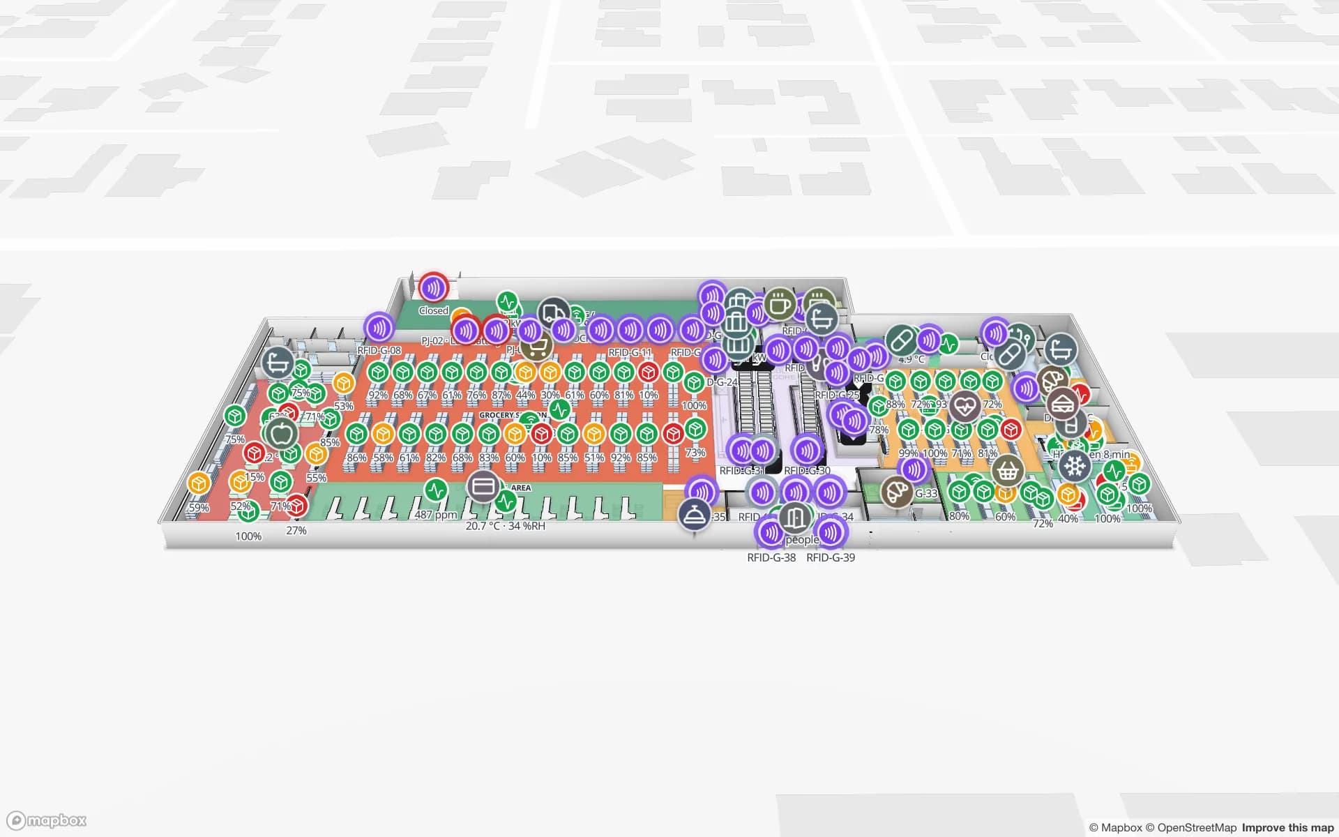
For a seller shipping small lots across that short sea, the stock problem is staging: which cartons belong to which sailing, which are picked, which are still on the shelf. Put the staging area on the map as lanes, one per sailing or per customer, read or scan cartons into them, and the map shows what is short before the cut-off. Your WMS or spreadsheet remains the stock record; Spatial Map shows it in place, with each row at the bin it belongs to. The Crestline demo shows 2,204 rack locations coloured by stock status and the staging lanes in front of the docks. Spatial Map has no link to customs or port systems.







