Guatemala City · The 22 zones, CA-9, La Aurora and the metro belt

Warehouse tracking in Guatemala City, from zone 13 to the roads to both coasts

Spatial Map turns the plan of a shed into a live 3D map where racks, dock doors, trailers and RFID reads share one screen. Warehouse tracking in Guatemala City is shaped by the capital’s position: a plateau city at about 1,500 m, with the Pacific port on one road and the Caribbean ports on another, an airport inside the city and warehouses scattered across the metropolitan municipalities. Whichever leg your building sits on, it can be its own facility in one workspace, and the app is available in Spanish.

No credit card. Runs in the browser. Pro is $60/month for up to 4 facilities. Book a demo

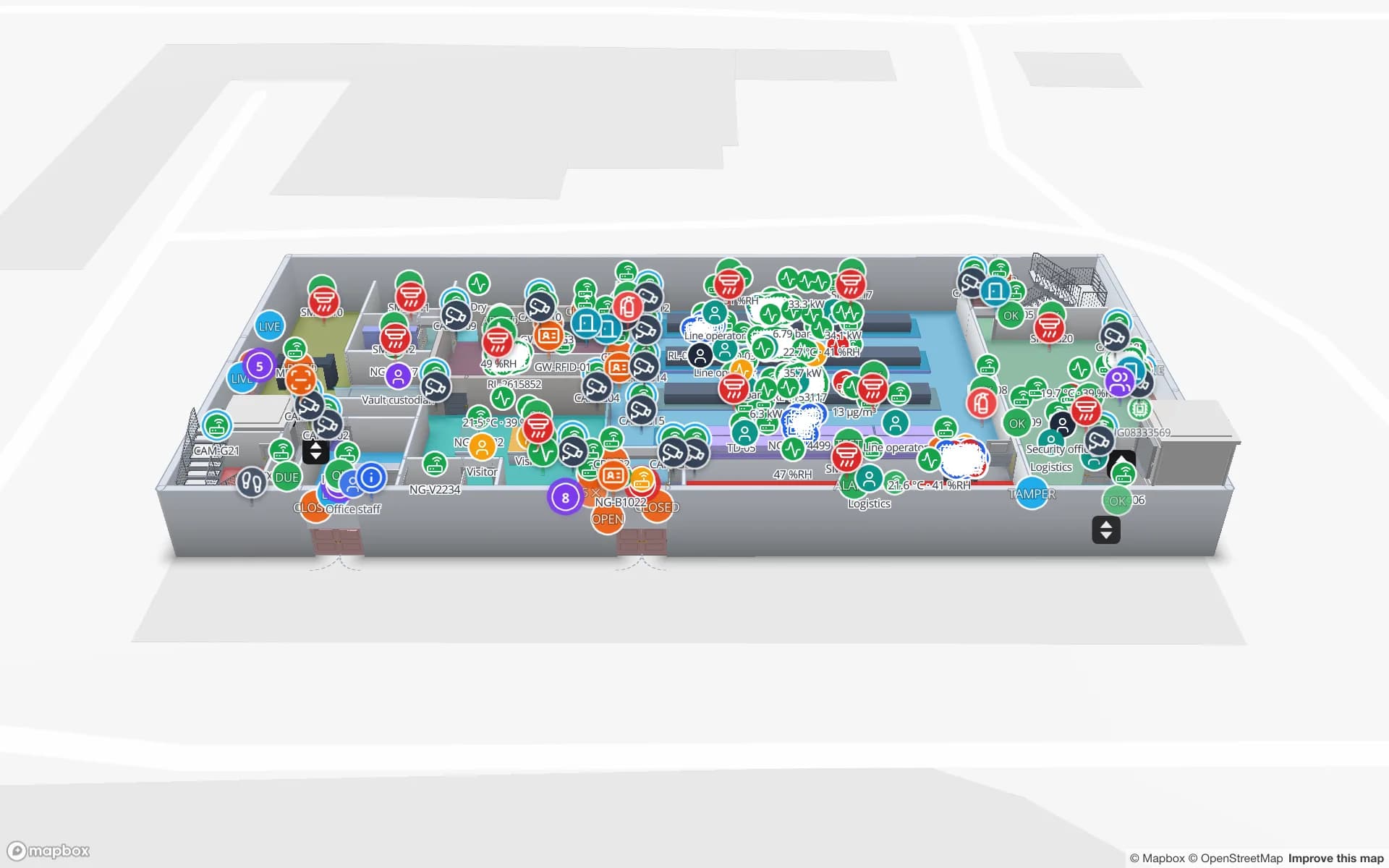
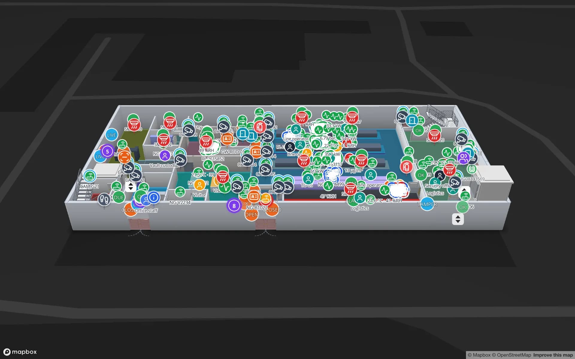
Crestline Fulfillment Center, a fulfillment center demo, in the Spatial Map 3D viewer with live device markers
Crestline Fulfillment Center
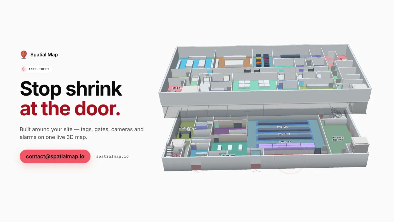
Crestline Fulfillment Center, a demo distribution centre: 20 racks with 2,204 locations coloured by stock status, pick modules, packing stations, dock doors and the trailer yard.
Rack locations in the Crestline fulfilment demo
2,204
Dock doors in the Eastport cross-dock demo
50
How often alert rules are checked, with alerts shown in the app
15 s
Free trial, up to 5 facilities, no card
7 days

A city of 22 zones and a ring of municipalities

Guatemala City is divided into 22 zones, numbered from 1 to 25 with zones 20, 22 and 23 missing, and it sits at about 1,500 m in the Valle de la Ermita. Its metropolitan area has spread over neighbouring municipalities including Villa Nueva, Mixco, San Miguel Petapa and Amatitlán, which is where much of the warehouse space has gone. For a distributor, a facility address therefore says little: a shed in zone 12, one in Villa Nueva and one in Mixco are three different buildings on three different roads, usually run by one team.

That is a strong case for one workspace with several facilities, grouped as named solutions, for example by customer or by route. Head office opens any building from a browser, and a read-only share link gives a customer only its own floor and layers, with an expiry date and a view cap. The Crestline demo shows 20 racks with 2,204 locations coloured by stock status; the post on turning a CSV of bin stock into a live rack map shows how little data a first map needs.


CA-9: the road to the Pacific and the Caribbean

The country’s main highways start in the capital, among them CA-9, the Transoceanic Highway that runs to Puerto San José, beside Puerto Quetzal, and to Puerto Santo Tomás de Castilla, and CA-1, the Pan-American Highway. In 2025 Puerto Quetzal handled 59 % of Guatemala’s port cargo and the Caribbean ports the remaining 41 %, so a Guatemala City warehouse usually sends or receives containers on one of those two roads, and sometimes both.

For a depot the question at the dock is timing: which container is due on which door, which trailer has waited longest, which pallets are staged for the next departure. Map the dock doors, yard slots and gate lane, colour the yard from your yard or WMS data, and let an in-app alert fire when a trailer has waited longer than you set. The Eastport Cross-Dock demo shows 50 dock doors and 44 yard slots, and the yard visibility guide lists the data you need. Spatial Map does not connect to port or customs systems.

La Aurora and air cargo in zone 13

La Aurora International Airport is inside the city in zone 13, about 6.4 km south of the centre, with one 2,987 m runway at 1,509 m above sea level. The civil aviation directorate, the Dirección General de Aeronáutica Civil, is based there and operates it. Air cargo is handled in terminals within the airport grounds, so teams that serve air freight usually want a shed close to the airport and to the roads out of zone 13.

Air-freight sheds work on short windows: a consignment arrives, is checked and held, and goes out the same day. A map that shows staging lanes, hold areas and bonded cages, coloured from your cargo system, answers “where is that consignment” without a walk. The Northgate Electronics demo shows a secure store with a vault and cage inventory on two floors, and the anti-theft solution explains the read-outs. Spatial Map shows the readers you install; it does not count people on its own.

Altitude, Zolic and what leaves the capital

A warehouse at 1,500 m is usually cooler than a shed at the port, and stock that travels down to the coast meets a different climate on the way, which is a matter for your carriers and your hardware vendor. What the map can do is notice: temperature sensors colour the warmest bays, an alert rule fires in the app when a sensor stops reporting, and the History player replays a night for a claim; see warehouse temperature mapping.

On the Caribbean road, the free zone at Santo Tomás de Castilla (Zolic) sits beside the port, and capital-based importers and exporters often manage stock there. Keep that building as a facility in the same workspace, so one person sees both ends. Customs and free-zone records stay in your own systems and Spatial Map makes no compliance claim.

Services for teams in Guatemala City

Where capital-region teams usually start:

  • Distributors and 3PLs start with inventory tracking, rack by rack, with RFID at the dock doors once the stock map works.
  • Importers and forwarders near the airport start with asset tracking for trailers, roll cages and handling equipment.
  • RTLS and UWB is for large yards where vehicles must be located continuously; most warehouses do not need it first.
  • If you have no readers or tags yet, our team can source them on request, quoted per project, with warranty and device support from the manufacturer: see hardware and demo kits on request.
  • Where a team has no developers, our team builds an RFID inventory system or an ERP and WMS integration as a client project. The product runs as cloud or on-premises.

Also served nearby

The same approach covers Villa Nueva, Mixco, San Miguel Petapa, Amatitlán, Santa Catarina Pinula and Fraijanes, and the sheds along CA-9 towards Escuintla. Nothing needs to be installed: the map opens in a browser.

How Spatial Map does it

From the plan to the dock door

  1. 01

    Pick one warehouse

    The shed that costs most when stock is not where the system says, in the city or in a metro municipality.

  2. 02

    Map racks and doors

    Upload the plan or a photo, let AI Map draft the floor, and name locations the way your WMS names them.

  3. 03

    Connect stock

    The WMS or middleware posts rows through the table write API, or you upload CSV or Excel.

  4. 04

    Add dwell and silence rules

    In-app alerts for trailers waiting too long, lots held past their time and readers that stopped reporting.

What Guatemala City teams track

Distribution centres

Every rack location coloured from the WMS, with staging lanes at the docks.

Depots on the port roads

Dock doors, yard slots and trailers by dwell time.

Secure air-cargo stores

Vault and cage stock, access points and choke-point counters on one map.

Warehouse equipment

Forklifts, roll cages and tools found by zone, so peak days do not start with a search.

See it on real demo facilities

Fictional names, real floor plans, live sensors, RFID, BLE tags and gateways — open any of them in the browser.

All 13 demo facilities

Warehouse tracking in Guatemala City: questions we get

Yes. Keep each warehouse as a facility in one workspace, group them as a named solution, and give each manager a role. Anyone with a role can open any building from a browser, and a read-only share link gives a customer only its own floor.

No. It has no link to airport cargo, customs or port systems. It shows what happens inside your own warehouse, from your WMS, RFID reads and sensors, so those records stay where they are.

Yes, if your yard or gate system supplies arrival times. Yard slots colour by dwell and an alert rule can fire in the app when a trailer has waited longer than you set, checked every 15 seconds. Alerts are shown in the app only.

Yes, in Spanish and five other languages, with each user choosing their own. See the services page in Spanish. Your own room names, rack codes and report titles appear exactly as typed.

No. Spatial Map is sold online and our team works with customers in Guatemala remotely, by video call and through the contact form. There are no local resellers or partners.

In US dollars, the same worldwide: a 7-day free trial for up to 5 facilities with no card, then Pro at $60 a month or $600 a year for up to 4 facilities. RFID hardware, if you ask us to source it, is quoted per project and is not part of the subscription.

Map one Guatemala City warehouse before the next shipment.

Start the free trial and open the Crestline demo, or send us the plan of a warehouse or depot and a stock export through the contact form.