The underground city: one network, many buildings
Tourisme Montréal describes the Underground City, the RÉSO, as roughly 33 km of pedestrian walkways that link metro stations with hotels, shops, museums, universities, office towers and the convention centre. It puts use at about 500,000 people a day, and traces the network to the preparations for Expo 67 and the building of the metro; Guinness World Records lists it as the largest pedestrian subway network, at 32 km.
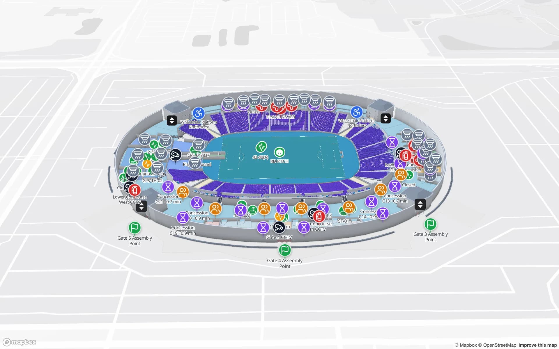
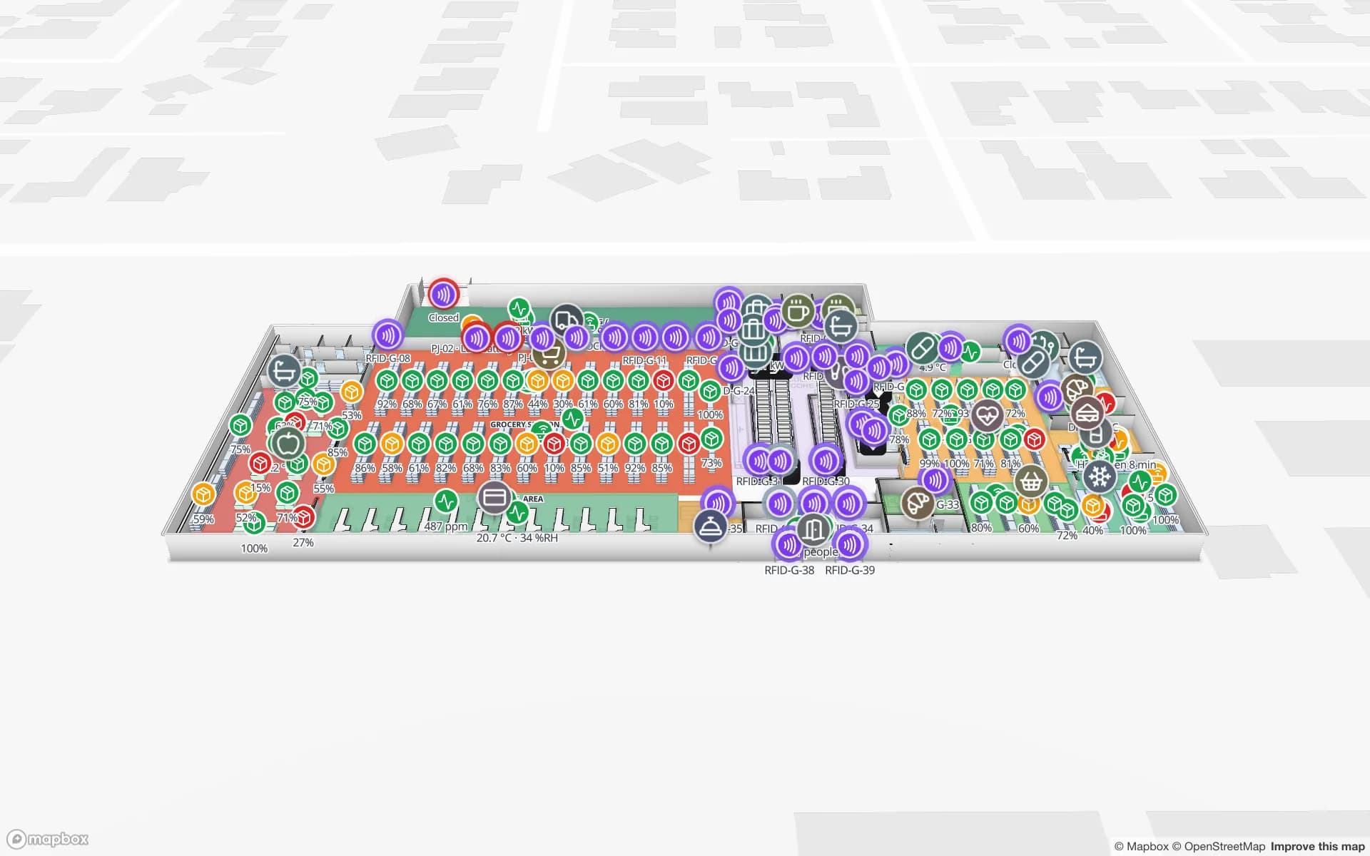
For anyone who runs a building on that network, the interior is the street. Spatial Map maps one facility at a time: each tower, mall or station concourse is its own facility with its own floors, which keeps ownership and access separate. Draw the floors from the architect’s PDF or DWG, with lifts, stairs and escalators, and plan routes across floors with Fastest and Step-free options, turn-by-turn steps and walking minutes; see the wayfinding docs. There is no live blue dot and no mobile app, and Spatial Map does not publish one map of the whole network. The Retail Mart demo shows a three-floor building with an escalator core and lifts, and shopping mall indoor mapping covers the general case.