Rio de Janeiro · Maracanã, Galeão, Porto Maravilha and the exhibition halls

Indoor mapping in Rio de Janeiro, from the stadium concourse to the port shed

Spatial Map does indoor mapping in Rio de Janeiro the same way for every kind of building: you place the floor plan, draw the floors, and a live 3D map shows rooms, doors, stairs and lifts, coloured by the data you already have. Rio’s buildings are unusually varied: a stadium that hosted two World Cup finals, an airport terminal on an island, a port rebuilt along the waterfront, exhibition halls built for world summits and a centre full of buildings from when the city was a capital. The app is not available in Portuguese, but your own room names and labels appear exactly as you type them.

No credit card. Runs in the browser. Pro is $60/month for up to 4 facilities. Book a demo

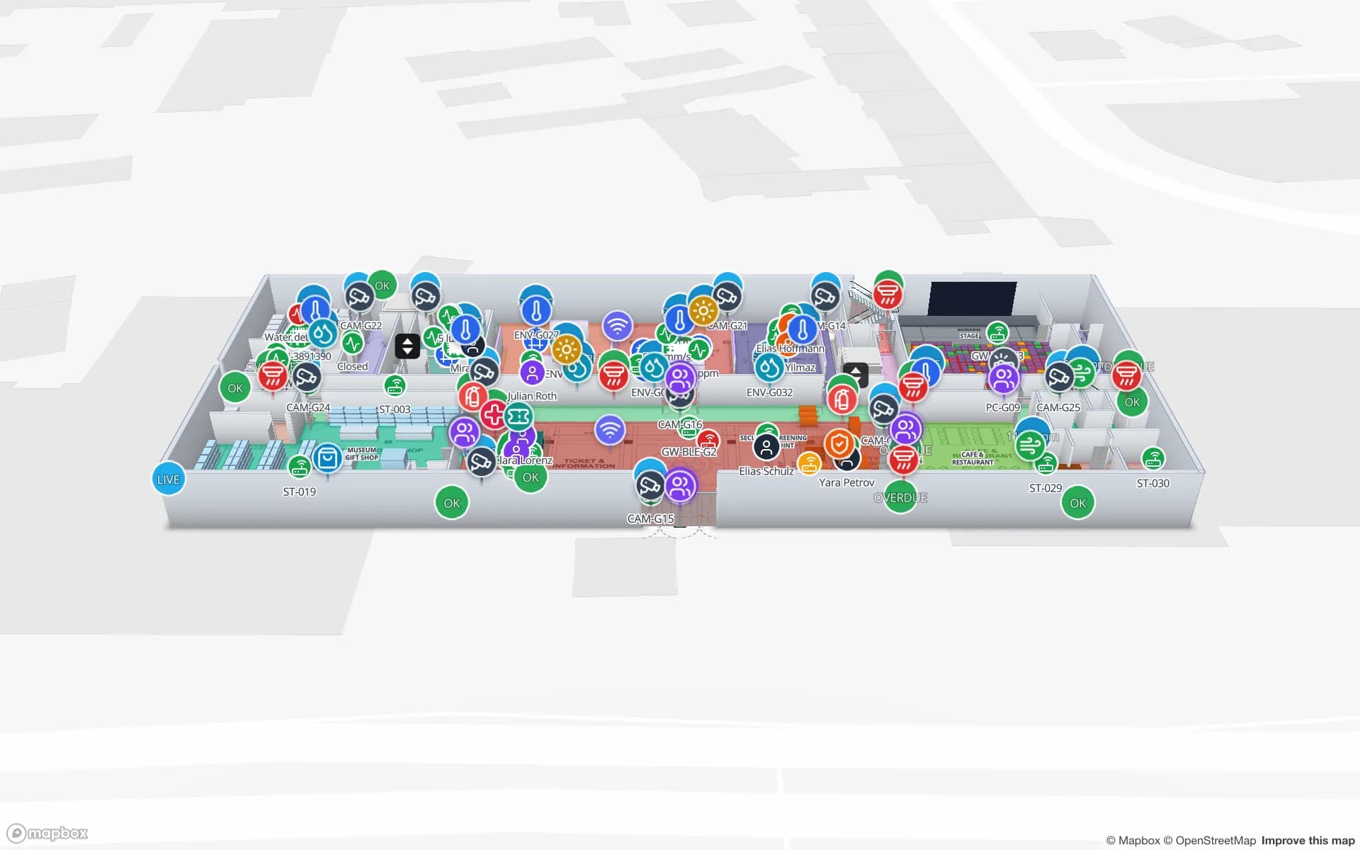
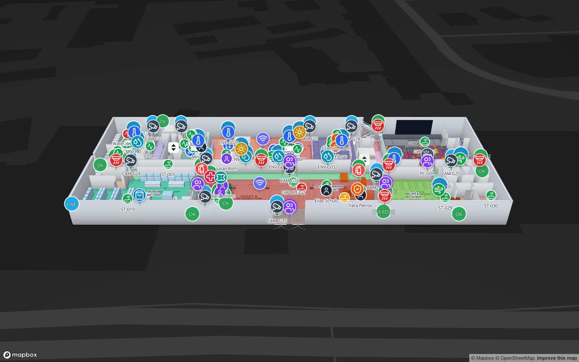
Lakeside Convention Center, a convention center demo, in the Spatial Map 3D viewer with live device markers
Lakeside Convention Center
Lakeside Convention Center, a demo venue: two floors of exhibition halls with booth blocks, session rooms, a plenary auditorium, registration and loading docks.
Floors in the Lakeside convention demo
2
Seats in the Crown Park stadium demo
30,513
Interface languages; Portuguese is not one of them yet
6
Free trial, up to 5 facilities, no card
7 days

The stadium and the parade avenue

The Maracanã hosted the finals of the 1950 and 2014 FIFA World Cups, and the city was awarded the 2016 Summer Olympics and Paralympics on 2 October 2009. The Sambódromo, a permanent grandstand-lined parade avenue, is used for Carnival. Both are buildings where operations teams manage crowds in the tens of thousands, and where the map that matters is the concourse: gates, turnstiles, concessions, first-aid points, stair and lift cores and loading docks.

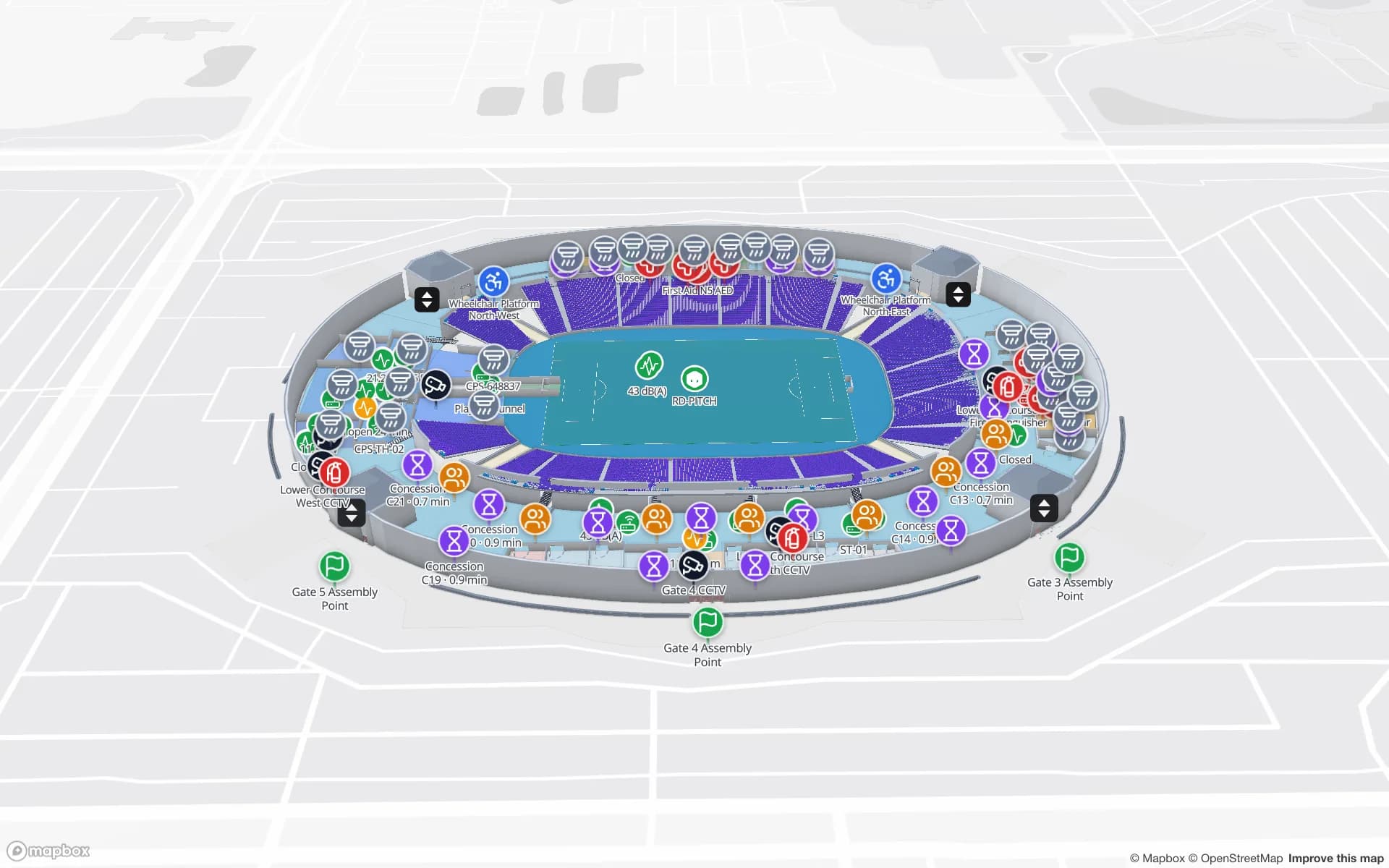
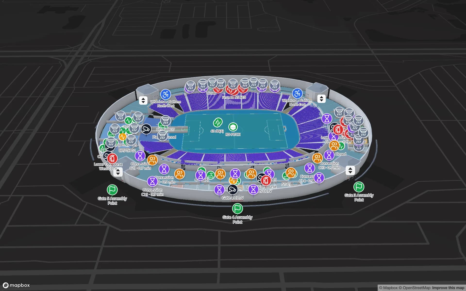
Draw the venue floor by floor, label gates and sectors, and the map can colour each area from your counters and sales data; heatmaps stop at walls and closed doors, so a corridor does not glow through a concrete wall. The Crown Park Stadium demo shows 30,513 seats on two concourses with turnstiles and crowd counters, and stadium and venue indoor mapping covers the general case. Spatial Map does not run ticketing or access control; it shows the data those systems send.
Exhibition halls that change layout every event

In the west of the city, an exhibition centre built in 1977 with six pavilions hosted the 1992 UN Earth Summit, events of the 2007 Pan American Games and, in 2016, four pavilions of Olympic and Paralympic sports. A hall that has been a summit, a boxing venue and a trade fair has one great mapping problem: the walls stay, the layout does not.

Map the permanent structure once, and let the event team draw each show’s booths, session rooms and registration over it. Halls can show live occupancy, and a read-only share link, with the floors and layers you choose, an expiry date and a view cap, gives exhibitors and contractors a plan without an account. The Lakeside demo shows halls, booths, session rooms, registration and loading docks on two floors, and visitors can use turn-by-turn routes with Fastest and Step-free options and walking minutes; there is no live blue dot and no mobile app, the link opens in a browser.

Galeão and the airport terminal

Galeão, about 20 km north of downtown on the Ilha do Governador side, opened its first passenger terminal on 1 February 1952. It has two runways, of 4,000 m and 3,180 m, a cargo terminal in the older airport area, and since 1999 an extended name honouring a musician. For the teams that run a terminal like this, the building is a stack of zones: check-in, security, gates, baggage hall and back-of-house, each with queues, crowding and equipment.

Draw the terminal once and put the live layers on top: queue speed at security, crowding by zone, loaned wheelchairs and trolleys by zone, baggage RFID reads. The Silverbay Airport demo shows a terminal on two floors with queues, crowding, wheelchairs and 21 reports, and airport indoor mapping explains the pattern. Spatial Map is not part of any airport project and has no link to airport systems; it is a product any operator can use for its own building.

The port, Porto Maravilha and the warehouses behind them

The Port of Rio de Janeiro lies on the west shore of Guanabara Bay. It opened officially on 20 July 1910 and today has a 6.7 km pier with 31 berths and 18 warehouses; in 2016 it handled 299,833 TEU. In 2014 the Elevado da Perimetral elevated highway was demolished as part of the Porto Maravilha redevelopment, a redevelopment of the old waterfront that sits beside the working port.

A warehouse near the quay needs dock doors, yard slots and staging lanes, as in the Eastport Cross-Dock demo; a converted warehouse or museum on the same waterfront needs rooms, galleries and an object register, as in the Production Museum demo with three floors and 187 assets. Both can be facilities in one workspace; Spatial Map does not connect to port systems.

A former capital full of older buildings

Rio was Brazil’s capital until 21 April 1960 and received the Portuguese royal court in 1808, and in 2012 “Carioca Landscapes between the Mountain and the Sea” was inscribed as World Heritage. A city with that history has a large stock of buildings whose best plan is a paper drawing, a scan or a photograph.

Upload it as it is — PDF, DWG (AutoCAD R2004–R2018, placed as a picture) or image — align it at real scale, and draw over it, or let AI Map draft walls, doors and areas for a person to review (paid plans and the trial, with a monthly limit). The post on digitising a paper floor plan walks through the photograph route. Spatial Map makes no claim about preservation rules; it gives staff a map of rooms and equipment.

Services for teams in Rio de Janeiro

Where Rio teams usually start:

Also served nearby

The same approach covers Niterói across the bay, Duque de Caxias, Nova Iguaçu, Petrópolis and the Barra da Tijuca and Jacarepaguá districts. Nothing needs to be installed on site: the map opens in a browser.

How Spatial Map does it

From a floor plan to a venue map

  1. 01

    Place the plan

    Upload a PDF, DWG (AutoCAD R2004–R2018, placed as a picture) or image of the floor and align it at real size.

  2. 02

    Draw the floors

    Walls, doors, stairs, lifts, rooms and areas, or let AI Map draft them for review; label them in Portuguese or any language.

  3. 03

    Connect live data

    Counters, queue sensors, RFID middleware or ticket scans post rows to a table, or Spatial Map polls a REST endpoint.

  4. 04

    Publish and share

    A read-only link with routes between floors, expiry and view caps, and in-app alerts for the control room.

What Rio teams map first

Stadiums and arenas

Concourses coloured by crowd counters, turnstiles and concession sales.

Exhibition and convention halls

Halls by occupancy, booth blocks and loading docks for each event.

Airport terminals

Queues, crowding by zone and equipment such as loaned wheelchairs.

Port-side warehouses

Dock doors, yard slots and RFID pallets staged for the next truck.

See it on real demo facilities

Fictional names, real floor plans, live sensors, RFID, BLE tags and gateways — open any of them in the browser.

All 13 demo facilities

Indoor mapping in Rio de Janeiro: questions we get

No. The interface is available in English, Spanish, French, German, Arabic and Chinese, and each user picks their own. Teams in Brazil would use English or Spanish. Everything you write yourself — facility names, room labels, report titles, accents and cedillas included — appears exactly as typed, in Portuguese or any other language.

No. There is no live blue dot and no mobile app. A share link opens a plan in the browser with routes between floors, using stairs, lifts and escalators, with Fastest and Step-free options and walking minutes. Staff and equipment can be shown live if you send their locations.

Yes. Photograph or scan the plan, upload it, align it at real size and draw over it, or let AI Map draft from the picture and correct what it gets wrong. Our services team can also do the mapping remotely for a fixed price.

Yes. Map the permanent structure once and draw each event’s booths and rooms as areas over it, or keep one facility per event layout. Layers can be shown or hidden, and a read-only link can carry just the layers you choose.

No. Spatial Map is sold online and our team works with customers in Brazil remotely, by video call and through the contact form, in English. There are no local resellers or partners.

In US dollars, the same worldwide: a 7-day free trial for up to 5 facilities with no card, then Pro at $60 a month or $600 a year for up to 4 facilities. Larger estates are quoted as custom services.

Put one Rio building on a live map.

Start the free trial and open the Lakeside or Crown Park demo, or send us the plan of a venue, terminal or warehouse through the contact form.