Lima · Callao, Jorge Chávez airport and the distribution sheds

RFID tracking in Lima, from the Callao quay to the airport cargo shed

Spatial Map puts RFID reads on a live 3D map of the building where they happen, so a tag at a dock door becomes a pallet in a lane, a carton in a container or a pallet in a build-up area. RFID tracking in Lima starts where the city meets the sea and the sky: the port of Callao and Jorge Chávez International Airport are neighbours inside the Constitutional Province of Callao, and the sheds between them and the city centre are where freight is staged, sorted and sent on. Your readers and middleware do the reading; Spatial Map shows each read in place.

No credit card. Runs in the browser. Pro is $60/month for up to 4 facilities. Book a demo

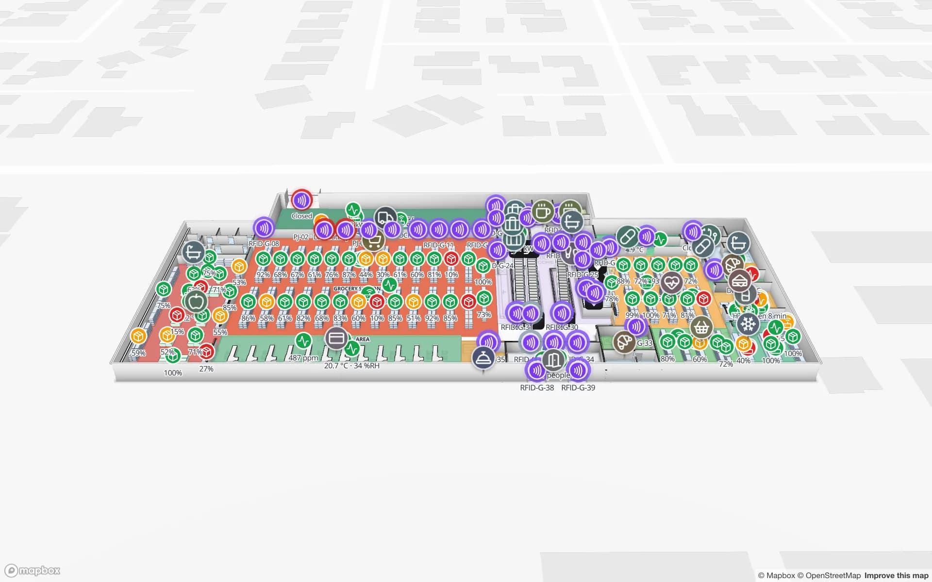
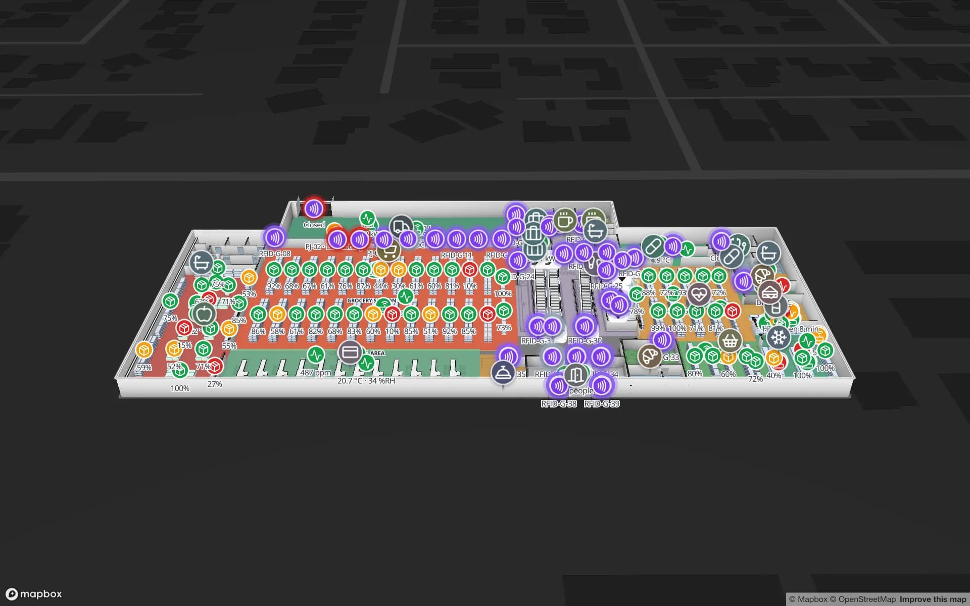
Eastport Cross-Dock Freight Hub, a cross-dock & trailer yard demo, in the Spatial Map 3D viewer with live device markers
Eastport Cross-Dock Freight Hub
Eastport Cross-Dock, a demo freight hub: 50 dock doors, 44 yard slots, the gate and weighbridge, and 1,180 RFID pallets moving through the cross-dock.
RFID pallets moving through Eastport
1,180
Dock doors in the Eastport demo
50
How often alert rules are checked, with alerts shown in the app
15 s
Free trial, up to 5 facilities, no credit card
7 days

Callao: a port that is also a city district

Lima and Callao form one contiguous urban area; Callao is the adjacent province, and it contains both the seaport and the airport. The port is Peru’s main one, with three concessions overseen by the National Port Authority (APN). APN reports that the Muelle Sur extension lengthens the pier from 650 m to 1,050 m, enlarges storage to 39.3 hectares and raises capacity to 1.9 million TEU a year. About 60 km north of Lima, the new port of Chancay was inaugurated on 14 November 2024, and it adds another direction for freight to arrive from.

Cargo does not stay at the port long. Containers are unpacked at depots and warehouses within the metropolitan area, and the question inside your shed is different from the one at the quay: which pallet is in which lane, which carton went into which container, which trailer is waiting at which door. RFID portals at the dock doors answer it, and the Eastport demo shows 50 dock doors, 44 yard slots and 1,180 RFID pallets on one map. Spatial Map does not connect to port, customs or terminal systems; it shows what your own reads say.


Jorge Chávez airport and its cargo neighbours

Jorge Chávez International Airport is in Callao, about 11 km north-west of Lima’s historic centre. A second runway and a new control tower began operating on 3 April 2023, and the new passenger terminal began operating on 1 June 2025. On the cargo side, an air cargo and mail centre opened in 2007, a refrigerated cargo warehouse handles perishable exports, and the Lima Cargo City logistics complex next to the airport opened on 12 May 2009.

For a forwarder or a handler in that belt, the working unit is the consolidated pallet or the unit load device: it is built up against a flight cut-off, and a missing carton is discovered at the door, not at the aircraft. Label each carton with a UHF RFID tag at packing, read it at the build-up door, and the map shows which cartons of a consignment are staged, which are still on the floor and which have left. RFID gates explains how to place readers at a door, and the post on read rates and missed tags lists what to check. Perishables follow the Polar Pharma demo pattern: rooms coloured by live temperature, held pallets marked in place.

A third of the country in one metropolis

The Lima metropolitan area has about 10.15 million inhabitants — around a third of Peru’s population — and is the country’s political, financial and commercial centre. That is why so many distribution centres, retail stock rooms and e-commerce sheds sit in and around it, supplying stores and customers across the coast and, by road, the Andes.

In a distribution shed the question is stock: which rack location holds which SKU, and what is staged for which store run. The Crestline demo shows 20 racks with 2,204 locations coloured by stock status, with pick modules, packing stations, staging lanes and the trailer yard. A quick start is to export bin stock from your WMS as CSV and colour racks from it; the post on CSV bin inventory to a live rack map shows how, and RFID adds where each carton is between racks.

Fog, humidity and the coast’s weather

Lima has a desert climate: coastal districts get only 10 to 30 mm of rain a year, relative humidity is always very high, particularly in the mornings, and from June to September a persistent morning drizzle called garúa wets the streets. Sheds near the coast, open dock doors and un-airconditioned yards are exactly where readers, antennas and labels live, and humidity is a reason to choose enclosures and mounting carefully and to test tags in your own shed — a decision for your hardware vendor and integrator, not something Spatial Map can verify.

What the map can do is notice. An alert rule set to “not updated for N minutes” on the reader table raises an in-app alert when a portal goes quiet, and a humidity or temperature sensor on the same plan colours the damp corner; see warehouse temperature mapping.

Services for teams in Lima

Where Lima teams usually start depends on the building:

  • Port-side depots and container sheds usually begin with inventory tracking at dock doors, because a lost pallet there costs a loading slot.
  • Airport-side forwarders and handlers begin with RFID at the build-up door, then add asset tracking for unit load devices and forklifts.
  • RTLS and UWB matters mainly for big yards and sheds where vehicles and people must be located continuously; most buildings will not need it first.
  • If you have no readers or tags yet, our team can source RFID readers, antennas and tags on request, quoted per project, with warranty and device support from the manufacturer; UHF bands and approvals differ by country, so ask your supplier. See hardware and demo kits on request.
  • Our team builds Android RFID handheld apps, ERP and WMS integrations and other custom software as client projects; the product runs as cloud or on-premises. The interface is in Spanish, and services are described en español.

Also served nearby

The same approach covers Ventanilla, Lurín, Ate and Huachipa, Villa El Salvador and Chilca on the Panamericana Sur, and Chancay to the north. Nothing needs to be installed at any of them: the map opens in a browser.

How Spatial Map does it

From the quay to the shed door

  1. 01

    Pick one building

    The depot, build-up area or distribution shed where a missing carton costs most.

  2. 02

    Map doors, lanes and racks

    Upload the plan, let AI Map draft the floor for review, and name read points the way your middleware does.

  3. 03

    Connect reads and stock

    RFID middleware and your ERP or WMS post rows through the write API, a polled REST endpoint, or CSV and Excel uploads.

  4. 04

    Add door and silence rules

    In-app alerts for pallets staged too long, short loads before cut-off and readers that stopped reporting.

What Lima teams track

Port-side depots

Dock doors, yard slots and RFID pallets staged for the right truck or container.

Air cargo build-up areas

Cartons read at the build-up door, staged against flight cut-offs.

Distribution and e-commerce sheds

Rack locations by stock status, staging lanes and packing output.

Perishable cold rooms

Rooms tinted by live temperature, held pallets marked in place.

See it on real demo facilities

Fictional names, real floor plans, live sensors, RFID, BLE tags and gateways — open any of them in the browser.

All 13 demo facilities

RFID tracking in Lima — questions we get

No. It has no link to port, customs, terminal or airline systems. It shows what happens inside your own building, from your RFID reads, WMS or ERP and sensors, so it complements the systems that run the port and the airport rather than replacing them.

That depends on the hardware you choose and how you mount it, so ask the vendor for its operating range and test tags in your own shed. Spatial Map does not make hardware; what it adds is visibility — an in-app alert when a reader stops reporting, and humidity or temperature readings coloured on the plan.

Yes. The app is available in Spanish alongside English, French, German, Arabic and Chinese, and each user picks their own. Rack codes, lane names and report titles stay exactly as you write them, accents and ñ included.

Any fixed readers, portals or handhelds approved for use in Peru — ask your supplier to confirm the UHF band. Spatial Map has no reader drivers: your middleware posts reads to a table with the write API (HTTPS, bearer API key, bulk upsert, 60 requests per minute per key), or exposes a REST endpoint it polls.

Peru’s personal data protection law (Law 29733) is the context when location data relates to people, and your legal advisers decide what applies. Many projects avoid the question by tagging pallets, cages and equipment instead of staff.

No. Spatial Map is sold online and our team works with customers in Peru remotely, by video call and through the contact form, in Spanish or English. There are no local resellers or partners.

In US dollars, the same worldwide: a 7-day free trial for up to 5 facilities with no credit card, then Pro at $60 a month or $600 a year for up to 4 facilities. RFID hardware, if you ask us to source it, is quoted per project and is not part of the subscription.

Map one Lima shed before the next shipment.

Start the free trial in Spanish or English and open the Eastport demo, or send us the plan of a depot or build-up area and a sample of your reads through the contact form.