A landlocked country and its inland port
Third-country cargo for Nepal arrives through Indian ports and crosses the open border by rail or truck. The Kathmandu Post calls the Sirsiya Dry Port at Birgunj Nepal’s first and largest inland trade gateway: it has operated since 2004, covers 38 hectares, can hold up to 1,586 containers and is linked to the Indian railway network for cargo from Kolkata, Haldia and Visakhapatnam. The same report says rising container traffic has pushed the port beyond its design limits, and a World Bank-financed upgrade of Rs396.9 million is adding a warehouse, parking, a firefighting system and a weighbridge. Trucks cross at the Integrated Check Post next door, which on an average day handles more traffic than the dry port.
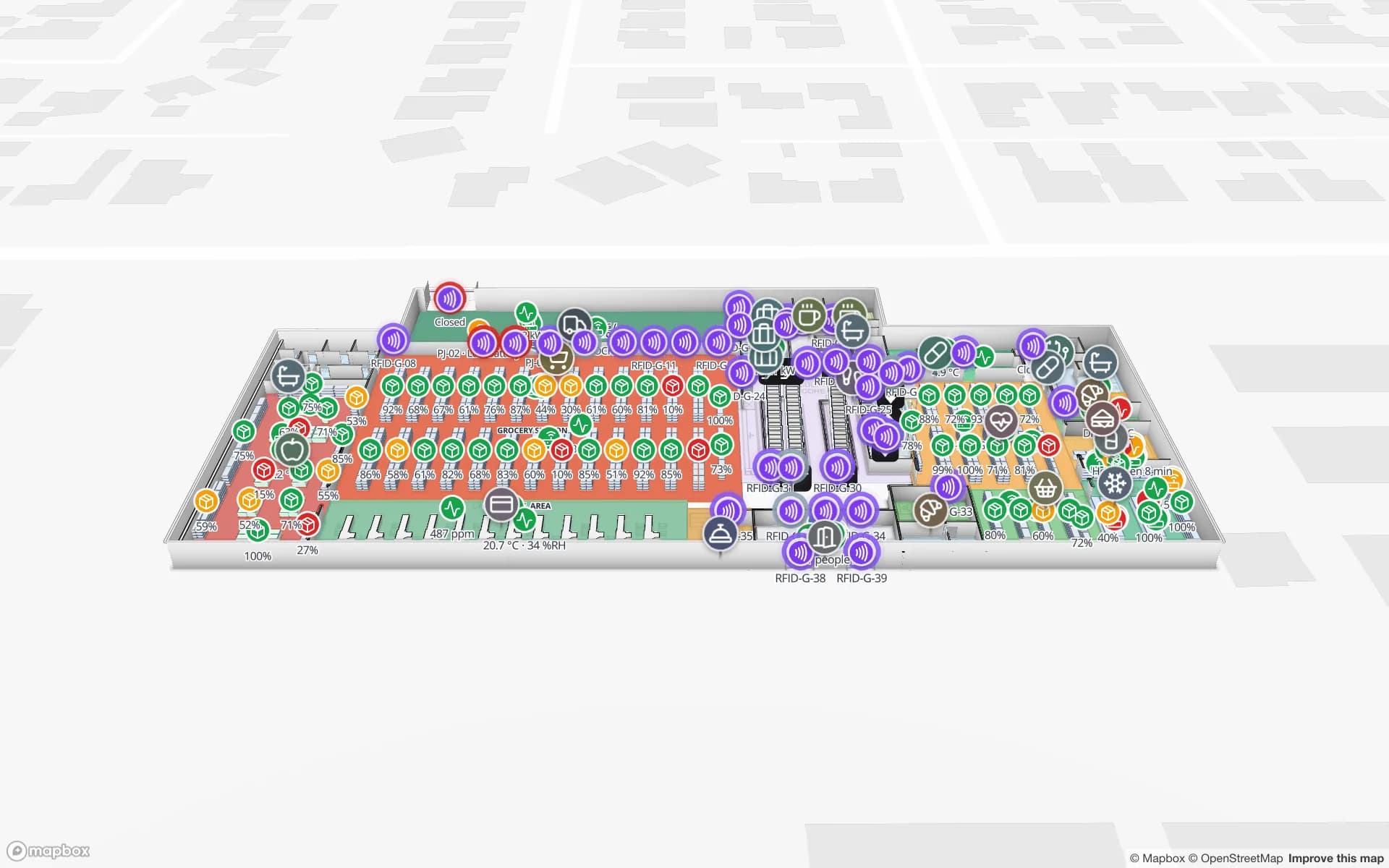
The port, customs and the check post run their own systems, and Spatial Map does not connect to any of them. It maps the buildings the goods go on to: the importer’s warehouse, the forwarder’s shed, the factory store. Dock doors, yard slots and pallets are coloured from your own data. The Eastport demo shows 50 dock doors, 44 yard slots and 1,180 RFID pallets on one map, and the post on cross-dock and yard visibility explains the pattern.