Europe · Malta · The Freeport, Valletta, Gozo, Luqa airport

Indoor mapping & RFID tracking in Malta, on the island that hosts a transhipment hub

Spatial Map is browser-based software that turns the floor plan of a warehouse, hotel, terminal or heritage building into a live 3D map, fed by your readers, gateways and sensors. Indoor mapping & RFID tracking in Malta has an unusual setting: a large Mediterranean transhipment port sits beside one of the most densely populated countries in the world, so the containers pass by while the buildings that need a map are small, tall, old and packed together. Each building is its own facility.

No credit card. Runs in the browser. Pro is $60/month for up to 4 facilities. Book a demo

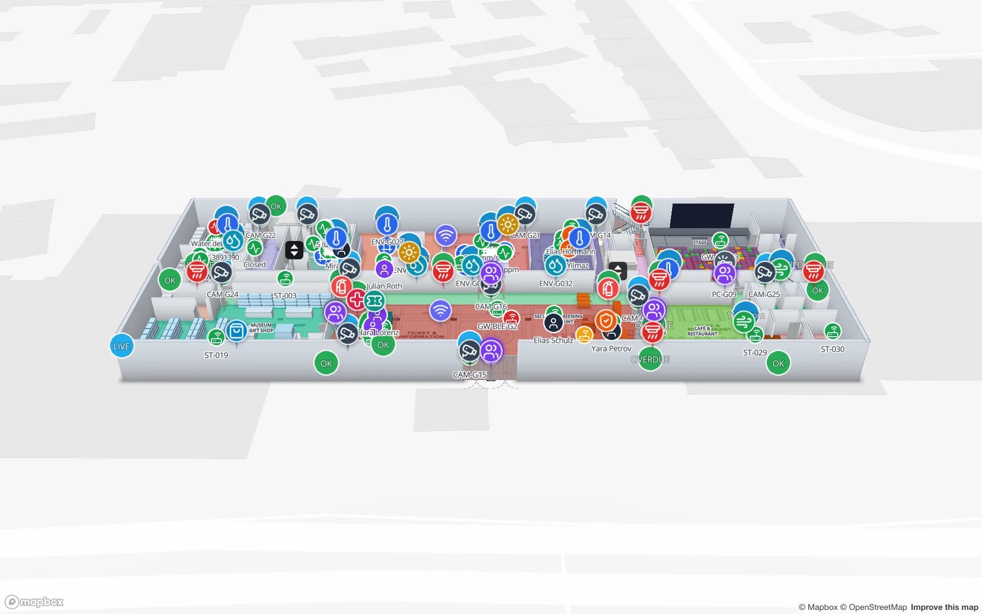
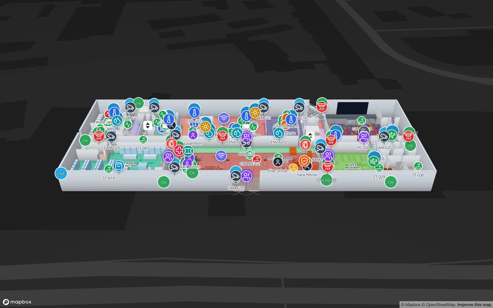
Production Museum, a three-floor museum demo, in the Spatial Map 3D viewer with live device markers
Production Museum
Production Museum, a demo three-floor museum: 187 tagged assets, room occupancy and climate sensors.
Tagged assets in the Production Museum demo
187
Floors modelled in the Production Museum demo
3
English is official in Malta and is an interface language (Maltese not available)
EN
Free trial, up to 5 facilities, no card
7 days

The Freeport: containers that never leave the quay

The Freeport at Birżebbuġa describes itself as a strategic transhipment hub in the Mediterranean, with 2,463 m of deep-water quay and 15,297 container ground slots. It reports 2.87 million TEU and 1,495 ship calls in 2025, and says around 96 percent of its container traffic is transhipment business. A box that is transhipped moves from one ship to another and mostly never enters a Maltese warehouse.

That sets the limit of what Spatial Map is for. It does not track containers inside a terminal; terminal operating systems do. It maps the buildings where goods do land: importers’ stores, distribution sheds, supermarkets’ back rooms and hotel stores. The Eastport demo shows the pattern for a freight shed, with dock doors, a gate and 44 yard slots, and RFID warehouse management shows how portals at the doors make the reads automatic.


A very dense island: small buildings, tall and tight

Malta covers 316 km² and has about 1,649 inhabitants per km², among the highest densities in the world. Land is dear, so stock is kept on mezzanines, in basements and in multi-storey buildings converted from other uses, with narrow loading access. Unlike a wide single-storey warehouse, these places need a map that shows which floor, which lift and which shelf.

Spatial Map draws multi-floor buildings with stairs, lifts and doors, and a table can colour each location by stock status. The Crestline demo shows two floors and 2,204 rack locations, and multi-floor 3D warehouses with stairs and doors explains how a tight building is drawn. Stock counting with RFID suits places where a manual count means moving boxes up and down stairs.

Valletta: 320 monuments in 0.55 square kilometres

Valletta was founded on 28 March 1566, has been a World Heritage Site since 1980 and has 320 monuments within an area of 0.55 km²; it was European Capital of Culture in 2018. Conversions of its historic buildings into hotels, offices, museums and venues usually start from drawings that are old, partial or missing, and heritage rules may limit what can be fitted to a protected building.

That favours a map that needs no installation: upload a scan or a photograph of the plan, align it at real scale and let AI Map draft the walls for a person to correct; see how to trace a floor plan. Visitor flow, stores and equipment sit on the same plan, as in the Production Museum demo, where galleries carry live occupancy and climate and 187 objects carry tags. Museum indoor mapping covers the visitor-attraction side, and indoor wayfinding gives step-free routes across floors with no guest-positioning blue dot.

Two islands and a ferry between them

Goods for Gozo cross by ferry between the Ċirkewwa and Mġarr terminals. The ferry operator says it carries around 4.1 million passengers and 1.2 million vehicles a year, in about 20,000 trips. A wholesaler on Malta supplying shops and hotels on Gozo therefore has two stock rooms that must agree, with a crossing between them.

Each site is a facility in the workspace, a table of transfers links them, and a report per route shows what left Malta, what arrived on Gozo and what is still on the quay. Spatial Map does not follow vehicles on the ferry; it shows the stock before and after the crossing. Read-only share links let a supplier or contractor see only the floors and layers you choose, with an expiry date.

The airport at Luqa and the shipyard at the Grand Harbour

Malta International Airport at Luqa, about 5 km from Valletta, opened on 25 March 1992 and has a 3,544 m runway. It handled about 8.96 million passengers in 2024 and just over 23,600 tonnes of cargo. Terminal operations and the cargo shed beside it are the natural indoor-mapping targets; see airport indoor mapping and the Silverbay demo, and indoor wayfinding in airports and malls.

The Grand Harbour still has an active shipyard, though a considerable part of Malta’s commercial shipping is now handled at the Freeport. Yards, workshops and stores in the harbour area suit asset tracking for tools, spares and returnable equipment on a live plan.

Language, EU rules and working with us

Maltese and English are both official languages in Malta, and the app is available in English, Spanish, French, German, Arabic and Chinese. There is no Maltese interface. Names you type in Maltese, ġ, ħ and ż included, display exactly as typed in the map, tables and exported reports. Malta joined the EU on 1 May 2004 and the euro on 1 January 2008.

Location data that can be linked to a person is personal data under the GDPR, and your legal advisers decide what applies; most projects tag stock and equipment rather than people. A data processing agreement is available. Spatial Map is sold online at the same USD price worldwide, and our team works with customers in Malta remotely, in English. If you have no readers or tags yet, our team can source them on request, quoted per project, with warranty and device support from the manufacturer: see hardware and demo kits.

Also served

The same offer covers Valletta and Floriana, Marsa, Qormi and Birkirkara, Luqa and Birżebbuġa, and Victoria and Xewkija on Gozo. Each site is one facility, and a workspace holds them together with shared members and roles.

How Spatial Map does it

From floor plan to live map

  1. 01

    Import the plan

    A PDF, a DWG from AutoCAD R2004–R2018, a scan or a photograph, placed at scale; AI Map drafts walls, doors and racks for a person to review.

  2. 02

    Draw and name

    Floors, stairs, lifts, shelves and rooms named with the codes your systems already use.

  3. 03

    Connect the data

    A WMS, RFID middleware or sensor gateways post rows to a table, or Spatial Map polls a REST endpoint; CSV and Excel work too.

  4. 04

    Share and alert

    Read-only links for suppliers and contractors, reports to PDF or Excel, and in-app alerts for the team.

What teams in Malta map first

Importers and distributors

Rack-level stock across floors, with a transfer table to Gozo.

Freight sheds

Dock doors, lanes and pallets staged for the next delivery run.

Heritage venues and museums

Galleries with live occupancy and climate, and tagged objects.

Hotel and campus equipment

Tagged equipment checked out by department across floors.

See it on real demo facilities

Fictional names, real floor plans, live sensors, RFID, BLE tags and gateways — open any of them in the browser.

All 13 demo facilities

Questions from teams in Malta

No. The app is available in English, Spanish, French, German, Arabic and Chinese, and each user picks their own language. English is an official language in Malta, so most teams use it as is. Your own content can be in Maltese and displays exactly as typed.

No. Containers that are transhipped stay in the terminal’s own systems. Spatial Map maps the buildings where goods land, such as stores and distribution sheds, from your own reads and stock data.

Yes. Upload a scan or photograph and align it at real size, or sketch the walls and photograph the sketch. AI Map can draft from the picture, and you correct what it gets wrong. Our services team can also do the mapping remotely for a fixed price. Spatial Map needs nothing fitted to the walls.

Yes. Each site is a facility and a workspace holds them together with shared members and roles. The Pro plan covers up to 4 facilities; larger estates are quoted as custom services.

No. It shows your own buildings, coloured by the data your WMS, readers and sensors send. Port, airport and customs records stay in their own systems.

No. Spatial Map is sold online and our team works with customers in Malta remotely, by video call and through the contact form, in English. There are no local resellers or partners.

No. Pricing is the same worldwide and in US dollars: a 7-day free trial for up to 5 facilities with no card, then Pro at $60 a month or $600 a year for up to 4 facilities. Readers and tags, if you ask us to source them, are quoted per project.

Map your first Maltese building this week.

Start the free trial and open the Production Museum demo, or send us a floor plan, scan or photograph and a sample of your stock data through the contact form.






